Elevation of 3 Upper Thornside Rd, Widgee QLD, Australia
Location: Australia > Queensland > Gympie Regional >
Longitude: 152.366152
Latitude: -26.205661
Elevation: 165m / 541feet
Barometric Pressure: 99KPa
Elevation Map:
Satellite Map:
Related Photos:

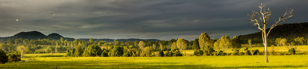
_20A3521 Farm under the great dividing range
The Solitary Giant

Fat Hen Creek

Butchered Sunset
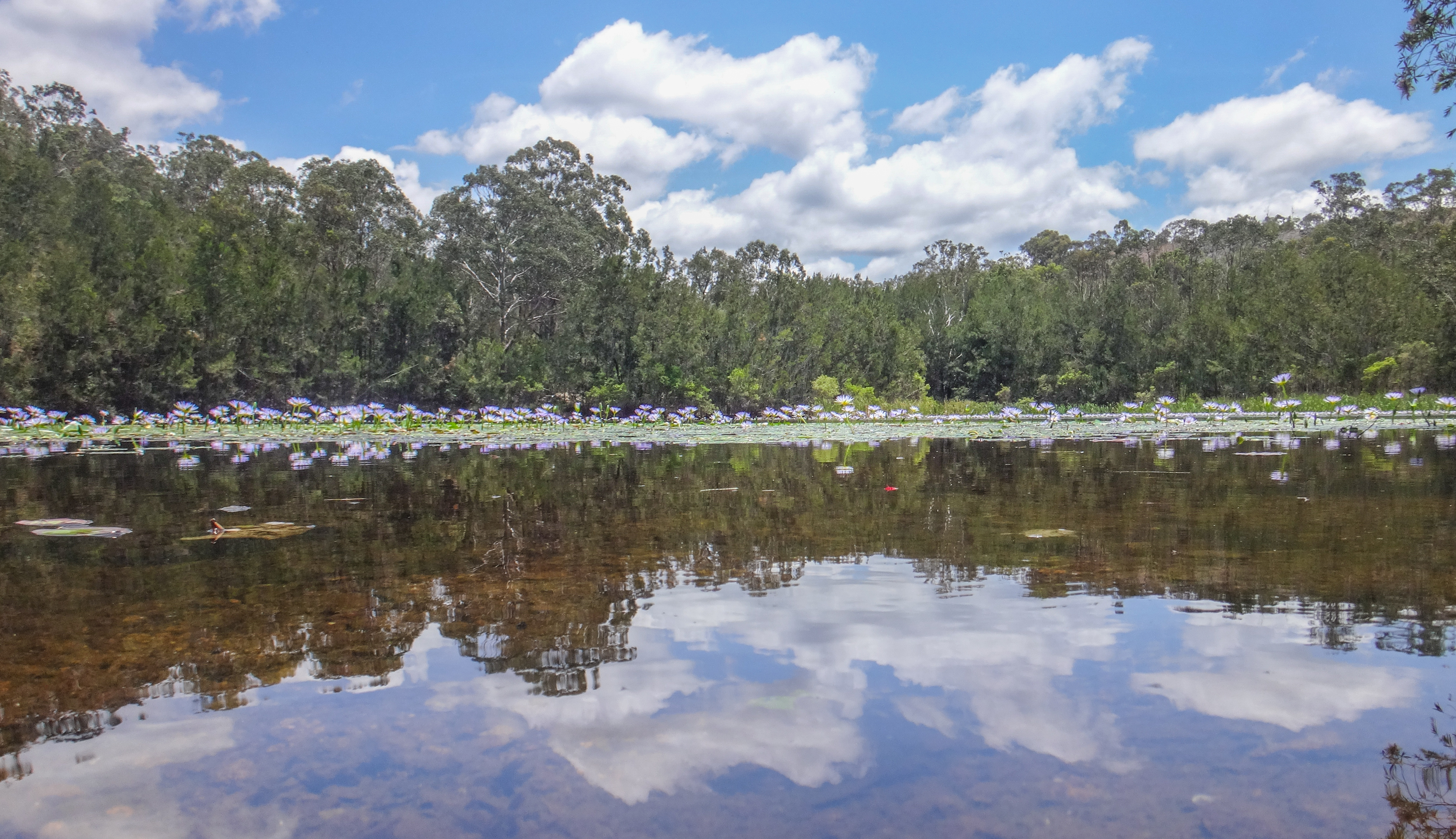
Water Lillies

Black Snake Road

Stony Creek Gorge, S of Kilkivan P1130777

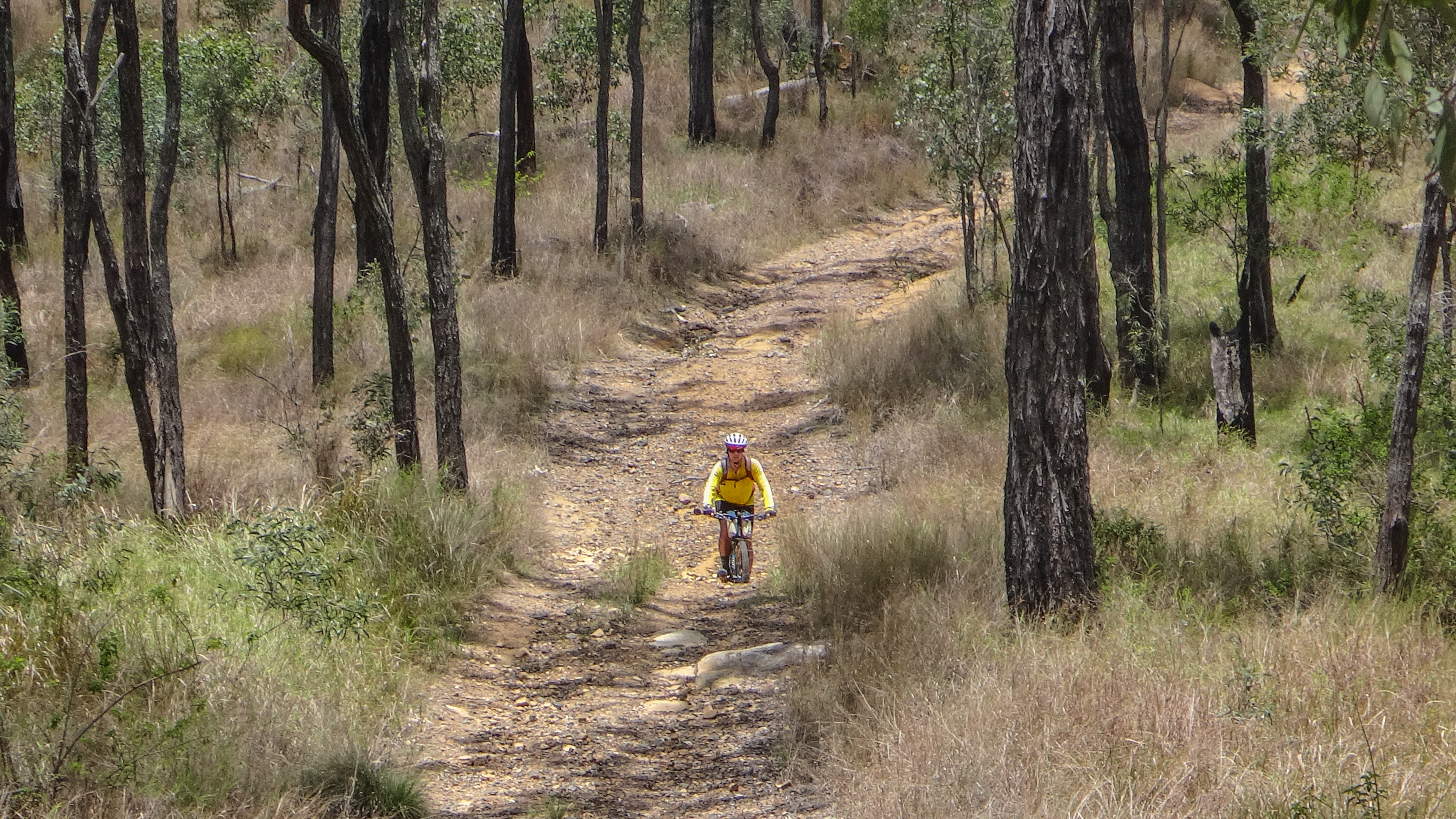
Rail Trail at Kilkivan
Rossmore Road

Rossmore Road
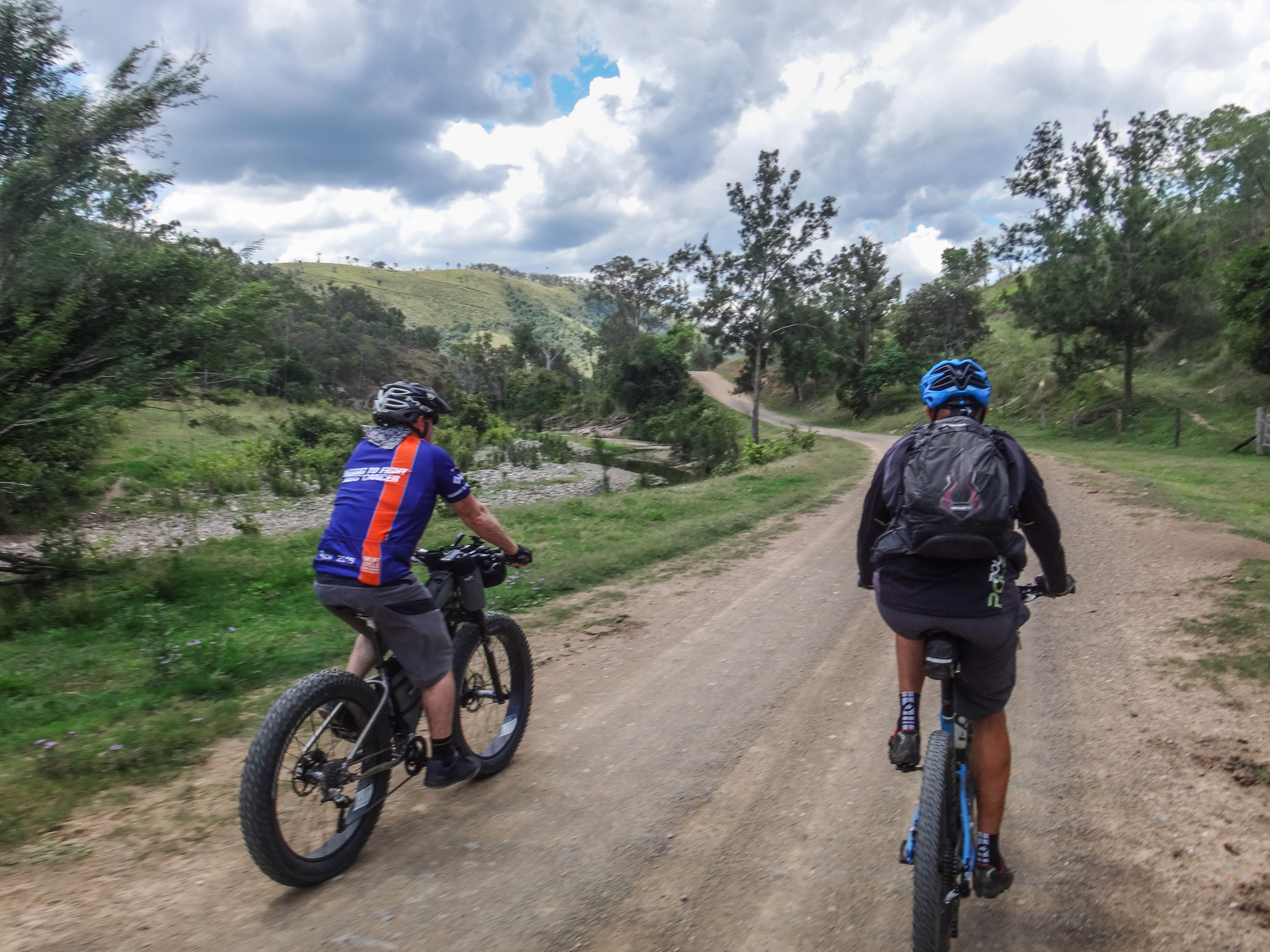
Steep Descent

Black Snake Road
Topographic Map of 3 Upper Thornside Rd, Widgee QLD, Australia
Find elevation by address:

Places near 3 Upper Thornside Rd, Widgee QLD, Australia:
Quandong Road
10 Jum Jum Ct
Lower Wonga
Gympie Regional
Manumbar
Manumbar
Amamoor Creek
Widgee Crossing South
12 Jeremy Rd
Mooloo
Amamoor State Forest
400 Burgess Rd
Manumbar Road
Southside
Mcintosh Creek
655 Mcintosh Creek Rd
18 Jasmine Ave
3 Melaleuca Ct
64 Ridgeview Dr
Jaycee Way
Recent Searches:
- Elevation of Corso Fratelli Cairoli, 35, Macerata MC, Italy
- Elevation of Tallevast Rd, Sarasota, FL, USA
- Elevation of 4th St E, Sonoma, CA, USA
- Elevation of Black Hollow Rd, Pennsdale, PA, USA
- Elevation of Oakland Ave, Williamsport, PA, USA
- Elevation of Pedrógão Grande, Portugal
- Elevation of Klee Dr, Martinsburg, WV, USA
- Elevation of Via Roma, Pieranica CR, Italy
- Elevation of Tavkvetili Mountain, Georgia
- Elevation of Hartfords Bluff Cir, Mt Pleasant, SC, USA