Elevation of Sarah Road, Sarah Rd, Glenwood QLD, Australia
Location: Australia > Queensland > Fraser Coast Regional >
Longitude: 152.649148
Latitude: -25.945952
Elevation: 81m / 266feet
Barometric Pressure: 100KPa
Elevation Map:
Satellite Map:
Related Photos:

Young men in their living quarters on a Scotchy Pocket farm, Queensland
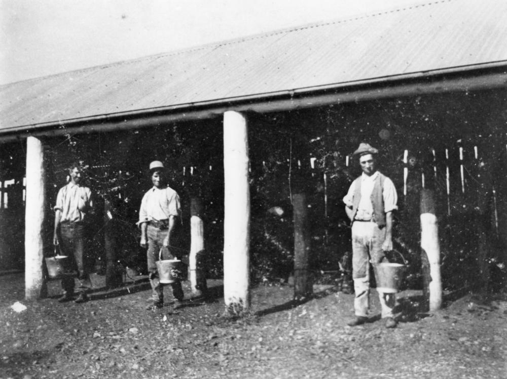
Farm workers with buckets at the milking sheds, Gunalda

Mountain View Abandoned Petrol Station

"Curra" Abandoned Alignment

Bauple - "Gootchie" Former Alignment 5

Bauple - "Gootchie Former Alignment 5

"Repeater Station" Former Alignment

"Repeater Station" Former Alignment

"Repeater Station" Former Alignment

"Repeater Station" Former Alignment

IAATL-20140909-2353

Gunalda - Windsong Rest Area

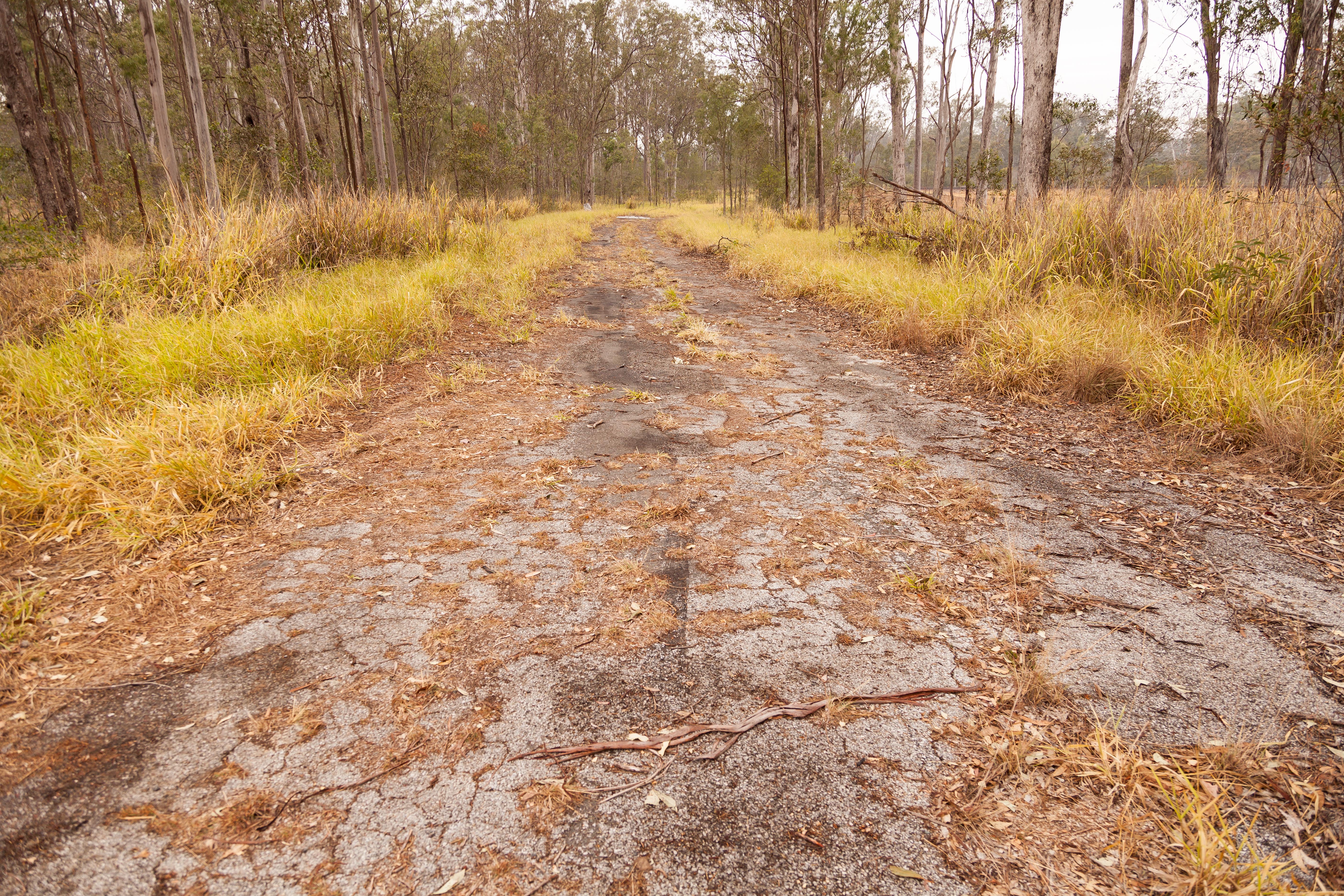
Gunalda - "Repeater Station" Former Alignment

Gunalda - "Repeater Station" Former Alignment
Curra - "Curra" Former and Abandoned Alignment
Topographic Map of Sarah Road, Sarah Rd, Glenwood QLD, Australia
Find elevation by address:

Places near Sarah Road, Sarah Rd, Glenwood QLD, Australia:
8 Sarah Rd
766 Beckmanns Rd
Templar Road
Glenwood
821 Tin Can Bay Rd
Canina
181 Hay Rd
64 Ridgeview Dr
Hay Road
Gympie Regional
Gympie
42 Barling Rd
42 Barling Rd
180 Mary St
23 Mary St
Jaycee Way
Greens Creek
One Mile Special Edu Unit
12 Jeremy Rd
61 Bridge Creek Rd
Recent Searches:
- Elevation of Corso Fratelli Cairoli, 35, Macerata MC, Italy
- Elevation of Tallevast Rd, Sarasota, FL, USA
- Elevation of 4th St E, Sonoma, CA, USA
- Elevation of Black Hollow Rd, Pennsdale, PA, USA
- Elevation of Oakland Ave, Williamsport, PA, USA
- Elevation of Pedrógão Grande, Portugal
- Elevation of Klee Dr, Martinsburg, WV, USA
- Elevation of Via Roma, Pieranica CR, Italy
- Elevation of Tavkvetili Mountain, Georgia
- Elevation of Hartfords Bluff Cir, Mt Pleasant, SC, USA