Elevation of Tealtown Rd, Milford, OH, USA
Location: United States > Ohio > Clermont County > Milford >
Longitude: -84.24691
Latitude: 39.126283
Elevation: 236m / 774feet
Barometric Pressure: 99KPa
Elevation Map:
Satellite Map:
Related Photos:

Downy woodpecker

TrackHead Studios - One Big Bowl
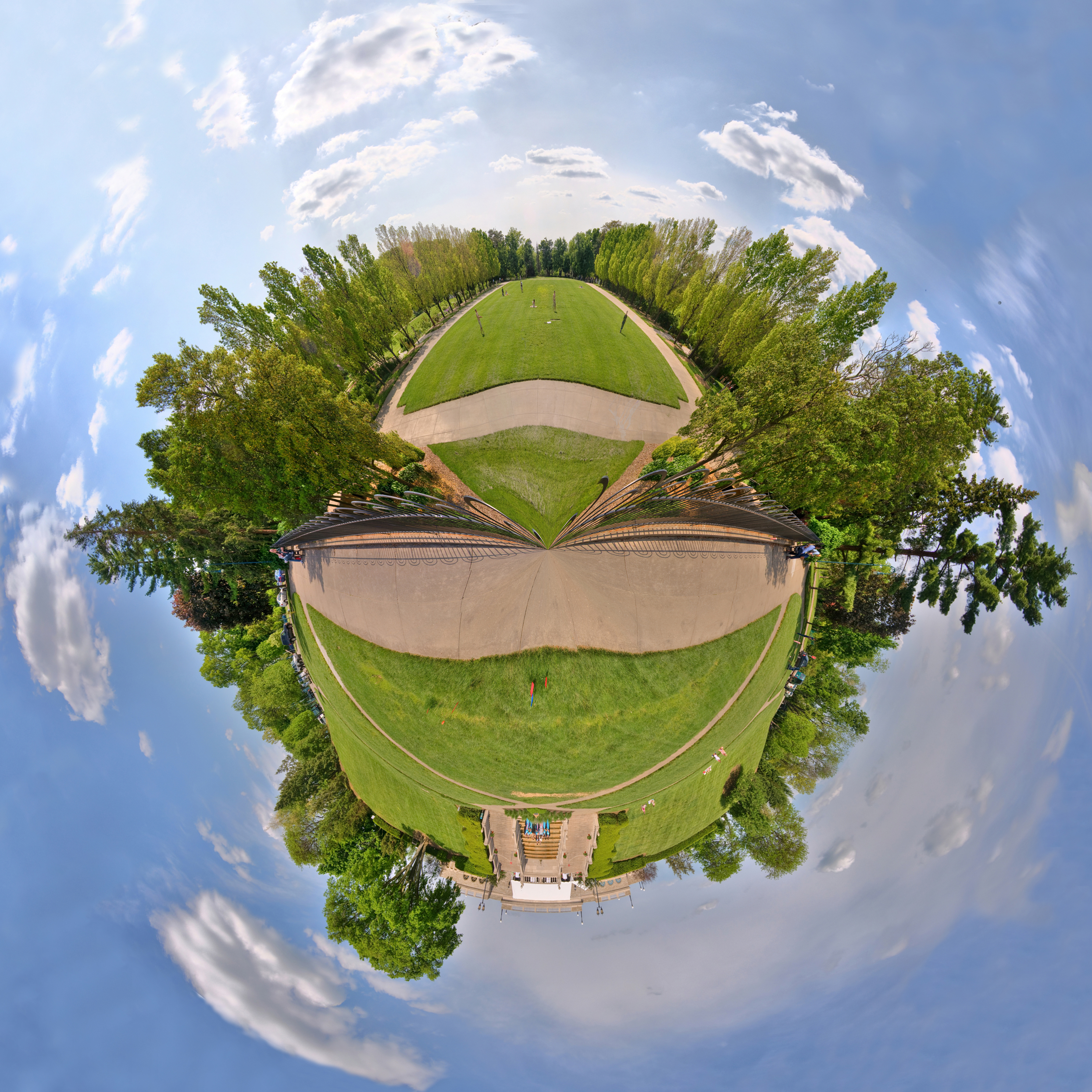
Ault Park Planet

lovely.
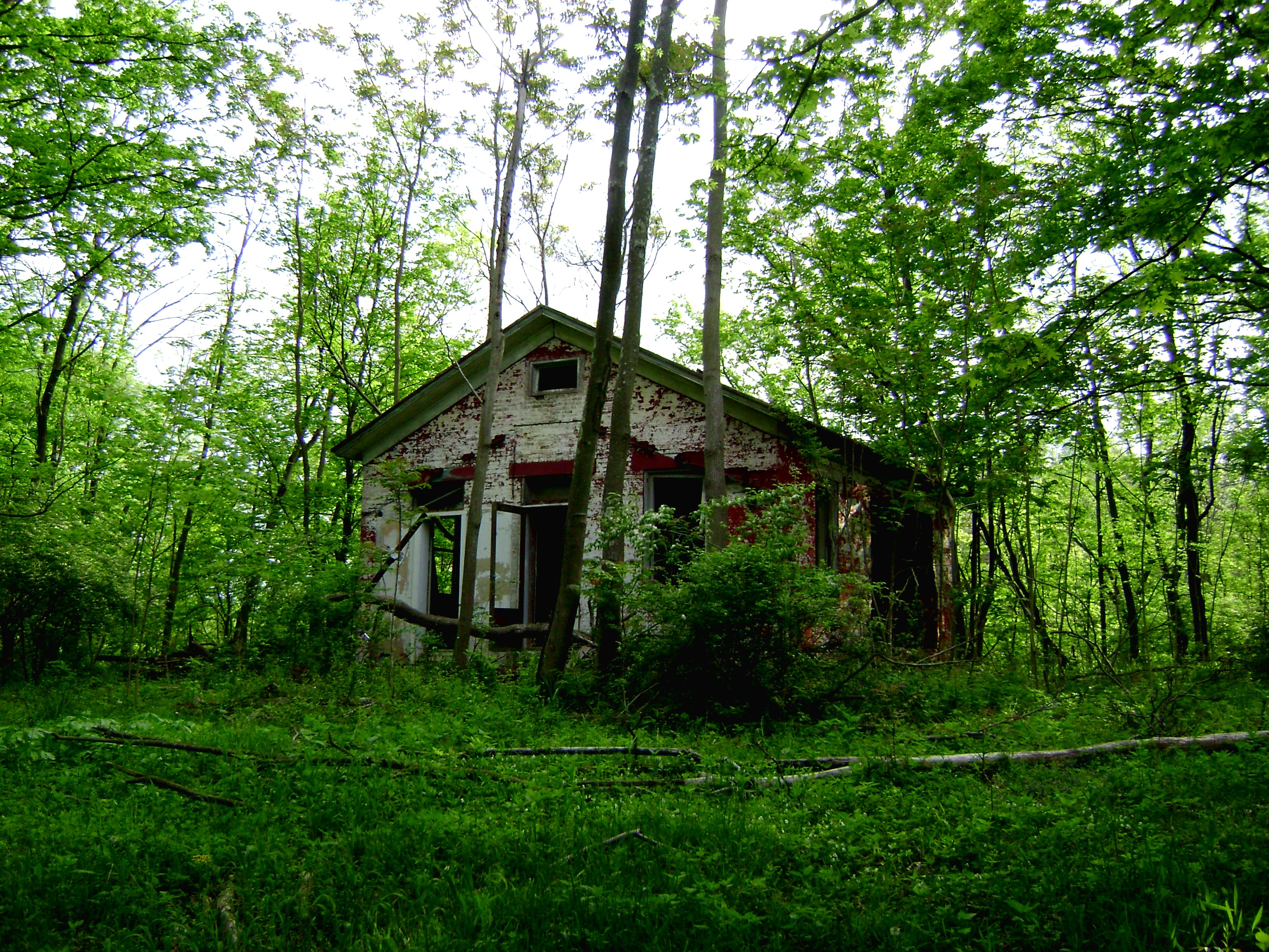
Craver, Ohio- Mt. Zion Schoolhouse

Clertoma, Ohio

Who Knew: the Easter Bunny can weld?

Want a bite, buddy ?

Palm Warbler

TrackHead Studios - Hunger

TrackHead Studios - Selfie

TrackHead Studios - Bear Blowing Kisses

Palm Warbler

TrackHead Studio - Twins

TrackHead Studios - Pink Health

TrackHead Studios - Oops! She did it.

AMERICAN COOT

Return to innocence ..view large

TrackHead Studios - Brown Smoke

Red-Necked Grebe

HOODED MERGANSER w/CRAYFISH

Fog Mirror
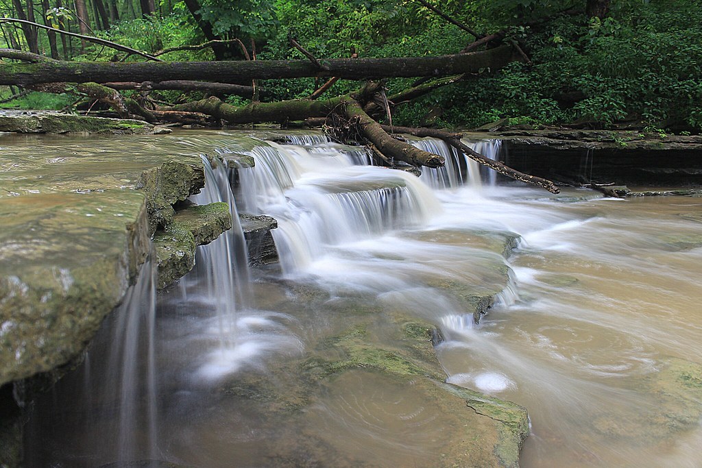
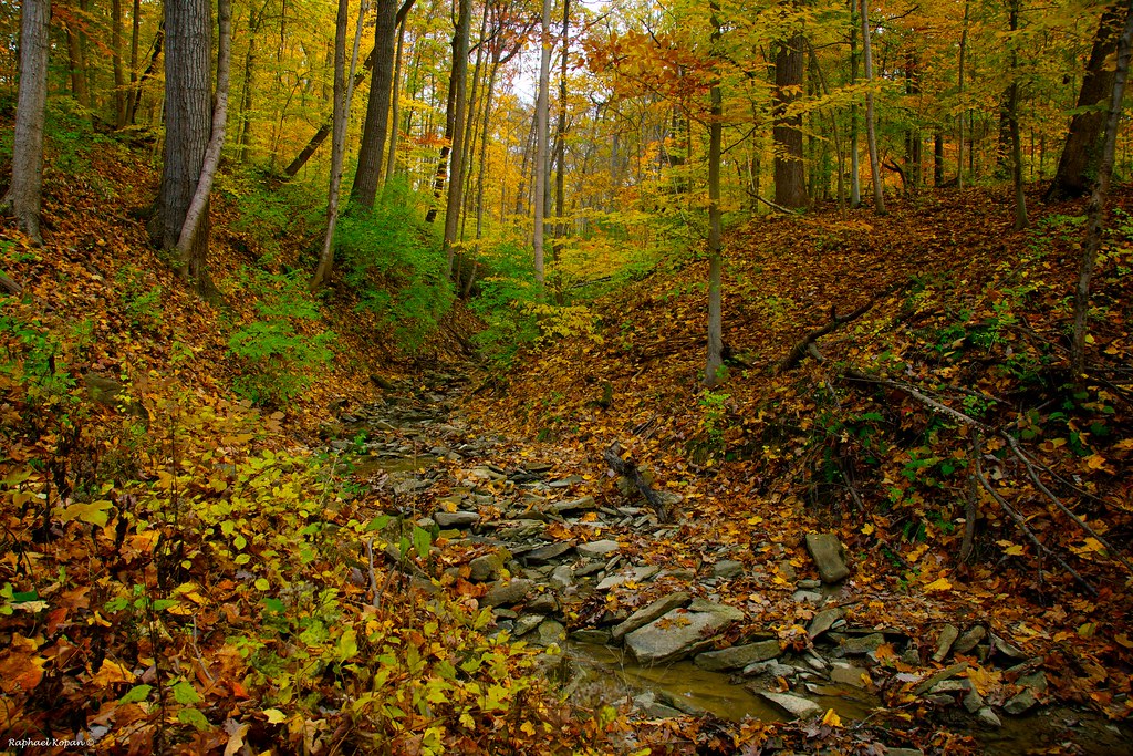
8-22-14, Ulrey Run. EXPLORE 11-16-2014

IMG_3116.JPG

IMG_1834.JPG

IMG_8437.JPG
she said she knew the path like the back of her hand

Walking Stick

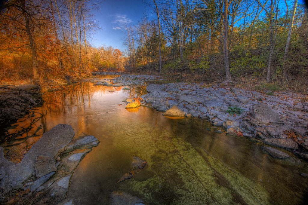
Morning Reflections

Something new

Sinai, The Begin Of The Day
California Woods Park, behind the ranger station
2010-11-13 at 09-28-31

IMG_2713.JPG

2010-11-13 at 08-58-28
Ridge trail

Explored (10.05.2014)

2012-05-24 18.57.46.jpg
Eastfork Lake

IMG_1937.JPG

you've propelled yourself into the arms of god and christ and all the saints

2010-11-13 at 09-26-52
Topographic Map of Tealtown Rd, Milford, OH, USA
Find elevation by address:

Places near Tealtown Rd, Milford, OH, USA:
1180 Round Bottom Rd
US-50, Milford, OH, USA
5140 River Valley Rd
Union Township
785 Diane Dr
667 Tournament Dr
665 Tournament Dr
661 Tournament Dr
Eastgate Mall
Summerside
Bobwhite Drive
4235 Bobwhite Dr
4959 Cinnamon Cir
892 E Anson Dr
5517 Sugar Camp Rd
Expressway Park
151 Logsby Pl
Milaine Dr, Cincinnati, OH, USA
Milford High School
Brookville Trail, Cincinnati, OH, USA
Recent Searches:
- Elevation of Corso Fratelli Cairoli, 35, Macerata MC, Italy
- Elevation of Tallevast Rd, Sarasota, FL, USA
- Elevation of 4th St E, Sonoma, CA, USA
- Elevation of Black Hollow Rd, Pennsdale, PA, USA
- Elevation of Oakland Ave, Williamsport, PA, USA
- Elevation of Pedrógão Grande, Portugal
- Elevation of Klee Dr, Martinsburg, WV, USA
- Elevation of Via Roma, Pieranica CR, Italy
- Elevation of Tavkvetili Mountain, Georgia
- Elevation of Hartfords Bluff Cir, Mt Pleasant, SC, USA