Elevation of US-50, Milford, OH, USA

Location: United States > Ohio > Clermont County > Milford >

Longitude: -84.236230

Latitude: 39.1374701

Elevation: 163m / 535feet

Barometric Pressure: 99KPa

Elevation Map:

elevation map of US-50, Milford, OH, USA

Satellite Map:

Satellite map of US-50, Milford, OH, USA

Related Photos:

nature interesting bokeh eating insects bee eat gross prayingmantis foodchain delitefulimage
Want a bite, buddy ?
autumn fall leaves yellow delitefulimage
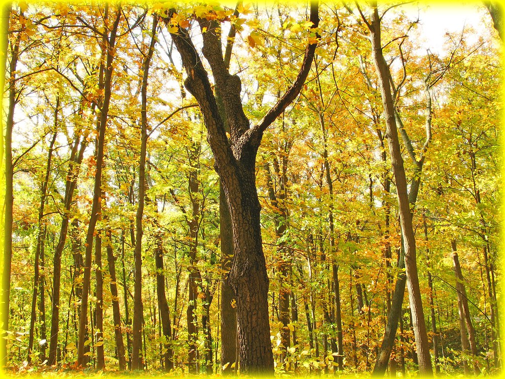
Mellow Yellow...view Large
studios adamhall trackhead trackheadstudios trackheadxxx
TrackHead Studios - Bear Blowing Kisses
smoke adamhall trackhead trackheadstudios trackheadxxx
TrackHead Studios - Oops! She did it.
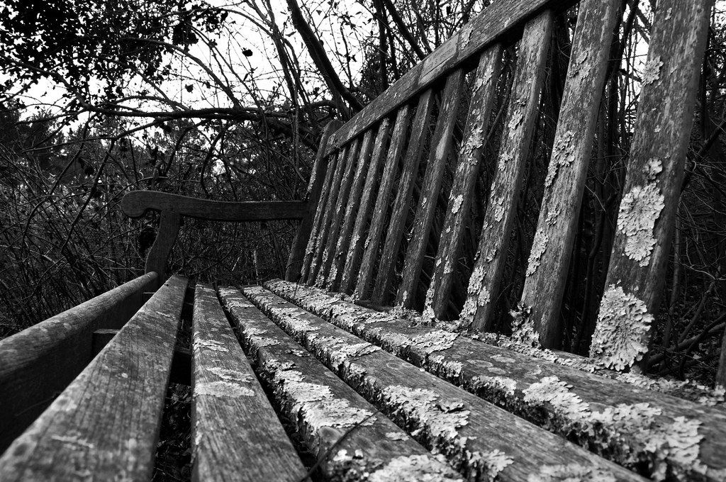
bench lichen cincinnatinaturecenter hollumsphotographynikond90 bwhollumsphotographynikond90
Lichen Bench
woods magic gone tribute magical soe wavygravy supershot anawesomeshot delitefulimage mayorspick
Return to innocence ..view large
food adamhall trackhead trackheadstudios trackheadxxx
TrackHead Studios - One Big Bowl
blue trees ohio chimney sky green beautiful grass stone clouds fence landscape log cabin path cincinnati peaceful fav20 boulder dirt porch cumulus serene tall rockingchair curve solitary idyllic hdr highdynamicrange msm 1000v fav10 tonemapping juici abnerhollow elmofoto lorenzomontezemolo
she said she knew the path like the back of her hand
ohio canadagoose brantacanadensis indianhill grandvalleypreserve
WATERFOWL AT GRAND VALLEY PRESERVE
square lofi squareformat iphoneography instagramapp uploaded:by=instagram foursquare:venue=4da9f3c04df01c19b17ee3d8
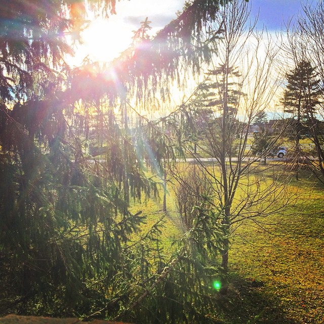
Awesome view out my window this evening! I'm loving this sunshine and warm(ish) weather. #Cincinnati #Ohio #Sunshine #GoldenHour #Photography #SettingSun
bunny easter funny easterbunny adamhall trackhead trackheadstudios trackheadxxx
Who Knew: the Easter Bunny can weld?
adamhall trackhead trackheadstudios trackheadxxx
TrackHead Studios - Hunger
adamhall trackhead trackheadstudios trackheadxxx
TrackHead Studios - Selfie
adamhall trackhead trackheadstudios trackheadxxx
TrackHead Studios - New Flooring
flowers flower adamhall trackhead trackheadstudios trackheadxxx
TrackHead Studios - Pink Health
ohio cincinnati americancoot fulicaamericana ottoarmlederpark
AMERICAN COOT
fireworks adamhall trackhead trackheadstudios trackheadxxx
TrackHead Studios - Brown Smoke
ohio cincinnati greenheron butoridesvirescens ottoarmlederpark
GREEN HERON
Red-Necked Grebe
ngc blinkagain
Red-Necked Grebe
ohio baldeagle haliaeetusleucocephalus grandvalleypreserve indianahill
BALD EAGLE
autumn trees ohio sky plants usa brown tree fall texture nature leaves landscape leaf artistic background grunge textures loveland backgrounds moosebite jrgoodwin
autumn’s pencil
Something new
iphoneedit handyphoto jamiesmed app snapseed 2015 iphoneography phoneography mobileography hdr geotagged geotag sky iphone5s blue skies clouds facebook hospital iphonephoto may iphoneonly mobilography
IMG_8086.JPG
Sinai, The Begin Of The Day
landscapes book1
2010-11-13 at 09-28-31
landscapes book1
2010-11-13 at 08-58-28
landscapes book1
2010-11-13 at 09-26-52
landscapes book1
2010-11-13 at 09-05-45
landscapes book1
2010-11-13 at 08-16-53
ohio bonapartesgull ringbilledgull commonloon gaviaimmer caesarcreekstatepark harveysburg
COMMON LOON (and Gulls)
ohio sparrow songsparrow melospizamelodia indianhill
SONG SPARROW
landscapes book1
2010-11-13 at 09-36-50
autumn trees ohio sky lake reflection water leaves weather fog mirror cool pond stones cincinnati hdr highdynamicrange eastforklake
Morning Reflections
statepark wood autumn trees ohio sky sun mist lake cold reflection fall water colors fog clouds sunrise landscape pond day cincinnati branches logs chill hdr highdynamicrange stumps eastforklake
Fog Mirror
beauty iphoneedit nature handyphoto 2009 beautiful app glow rocks vignette peaceful rock jamiesmed trees snapseed light sony hdr green sky tree geotagged geotag skies clermontcounty facebook landscape august alpha dslr summer cincinnati a200 ohio midwest photography
IMG_3116.JPG
mobileography iphoneography iphoneedit snapseed 2012 sky jamiesmed handyphoto iphone4s skies app geotagged geotag farm iphonephoto clermontcounty rural ohio midwest october autumn fall phoneography iphoneonly clouds mobilography
IMG_2713.JPG
beauty sony iphoneedit eastfork nature handyphoto reflection skies shadow beautiful app rocks blue alpha peaceful shadows vignette water dslr jamiesmed trees snapseed lake sky hdr tree eastforklake geotagged geotag facebook clermontcounty landscape a200 ohio midwest autumn fall photography clouds 2009 november
IMG_1834.JPG
hdr eastforklake green eastfork nature handyphoto golden 2009 red water grass wet leaves trees orange lake gold yellow explored explore iphoneedit jamiesmed app snapseed a200 sony dslr alpha tree geotagged geotag facebook clermontcounty landscape rural ohio midwest autumn fall photography november
Explored (10.05.2014)
jamiesmed iphoneedit sony 2009 dslr snapseed skies clouds sky orange app autostitch alpha geotagged geotag rides handyphoto pumpkinrun people facebook clermontcounty landscape rural ohio a200 midwest october autumn fall photography panorama pano
IMG_1937.JPG
statepark lake sunrise eastforkstatepark ameliaoh
Sunrise Over East Fork Lake.