Elevation of Brookville Trail, Cincinnati, OH, USA
Location: United States > Ohio > Clermont County > Union Township >
Longitude: -84.300727
Latitude: 39.1179398
Elevation: 257m / 843feet
Barometric Pressure: 98KPa
Elevation Map:
Satellite Map:
Related Photos:

Want a bite, buddy ?

Downy woodpecker

TrackHead Studios - Hunger

TrackHead Studios - Selfie
View from dinner.

Palm Warbler

TrackHead Studios - Bear Blowing Kisses

TrackHead Studios - Oops! She did it.

TrackHead Studio - Twins

TrackHead Studios - One Big Bowl

AMERICAN COOT
Return to innocence ..view large

TrackHead Studios - Brown Smoke

TrackHead Studios - Sky Flowers Blooming

GREEN HERON
she said she knew the path like the back of her hand
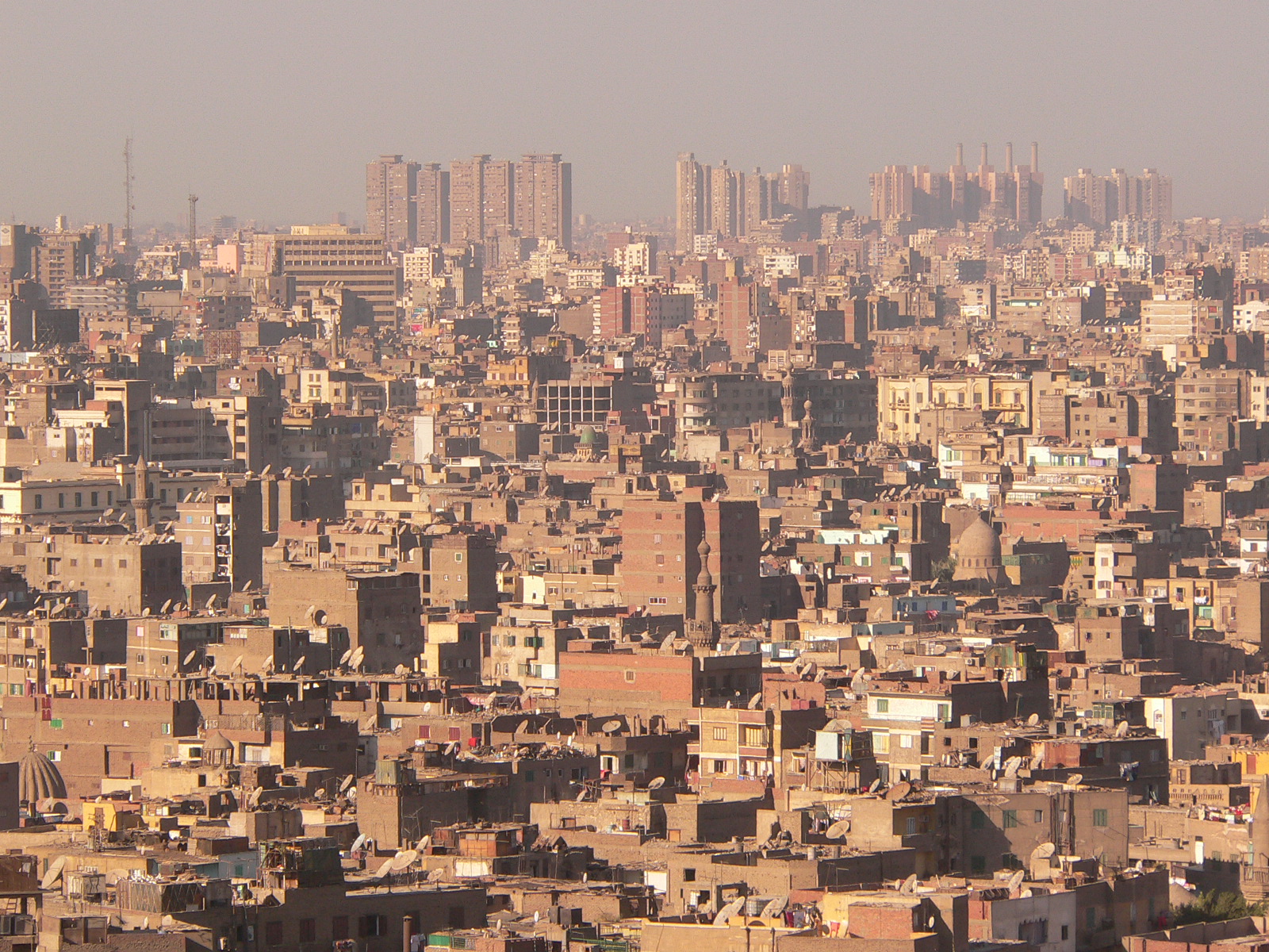
Cairo City View

Covered Bridge
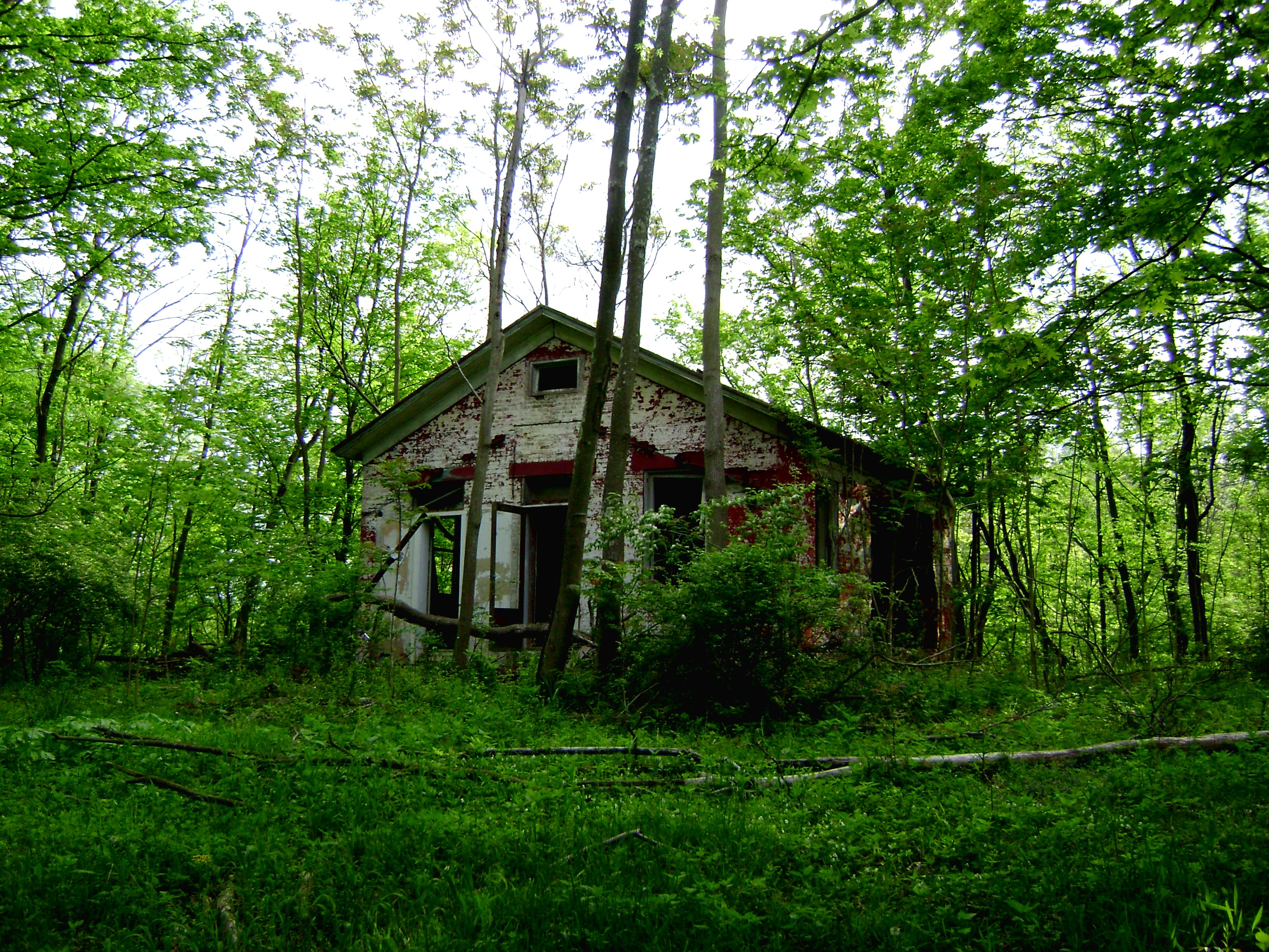
Craver, Ohio- Mt. Zion Schoolhouse

WATERFOWL AT GRAND VALLEY PRESERVE

Eden Park
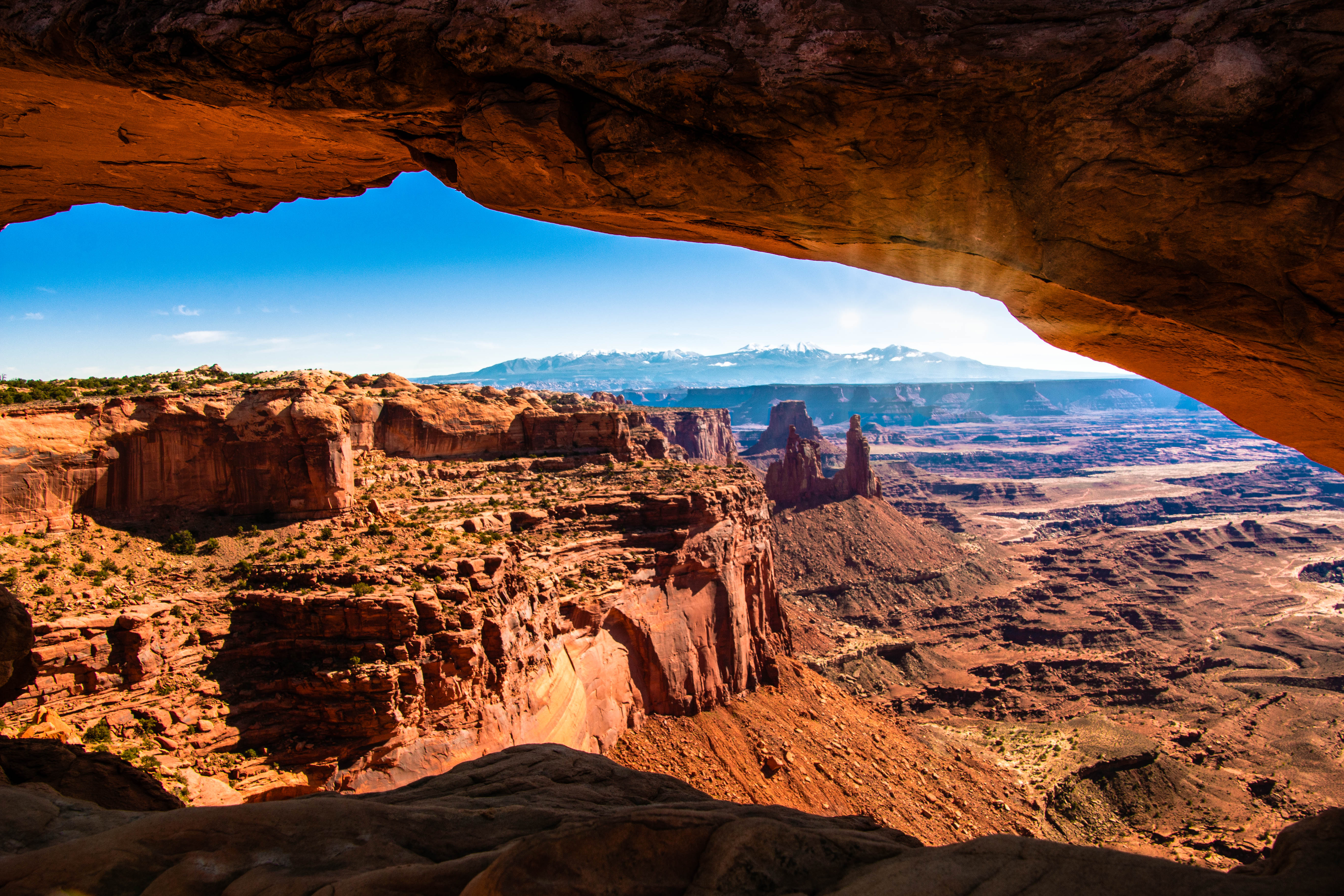
Mesa Arch

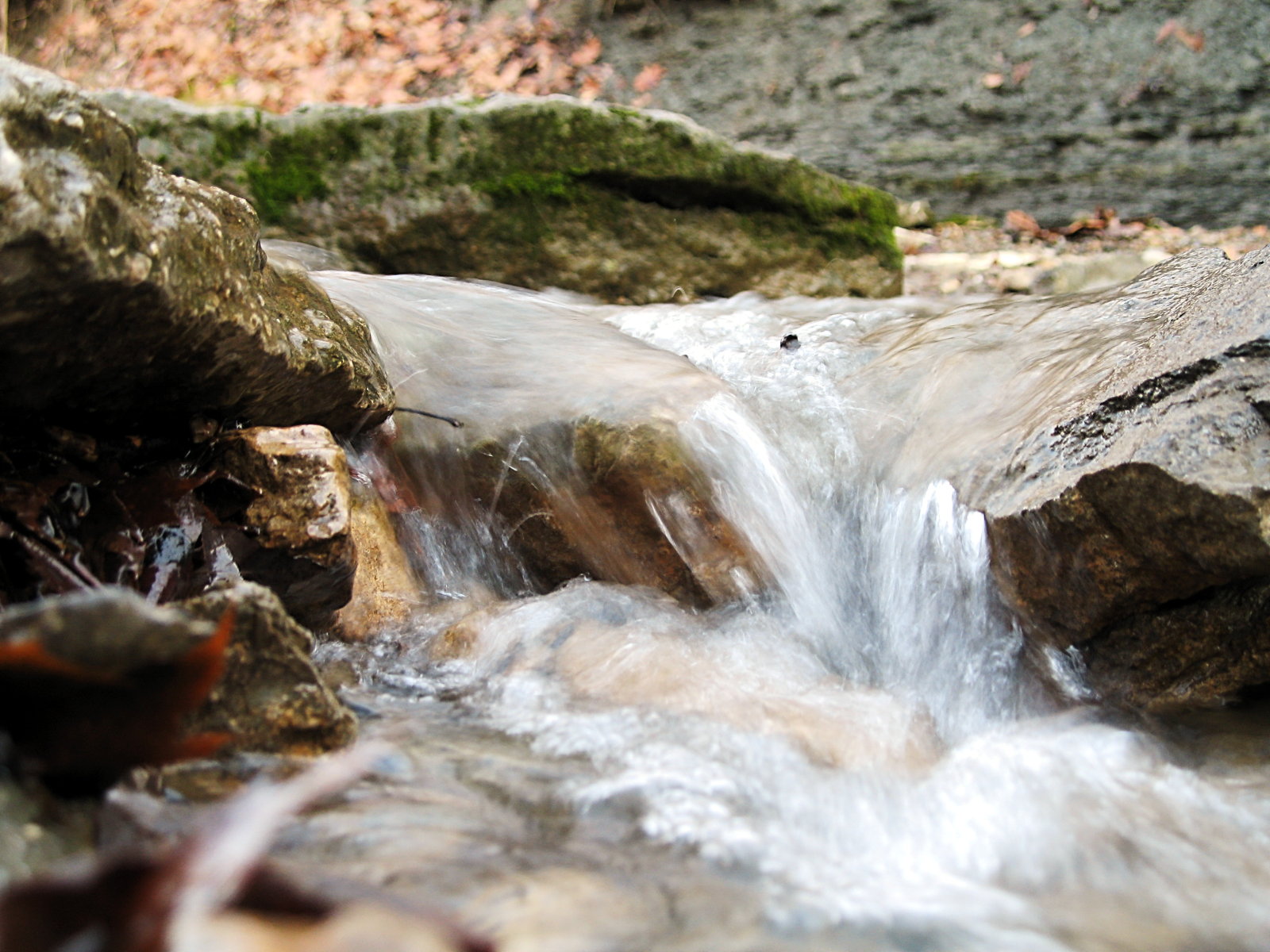
Autumn Waterfall
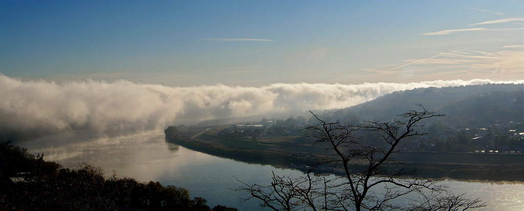
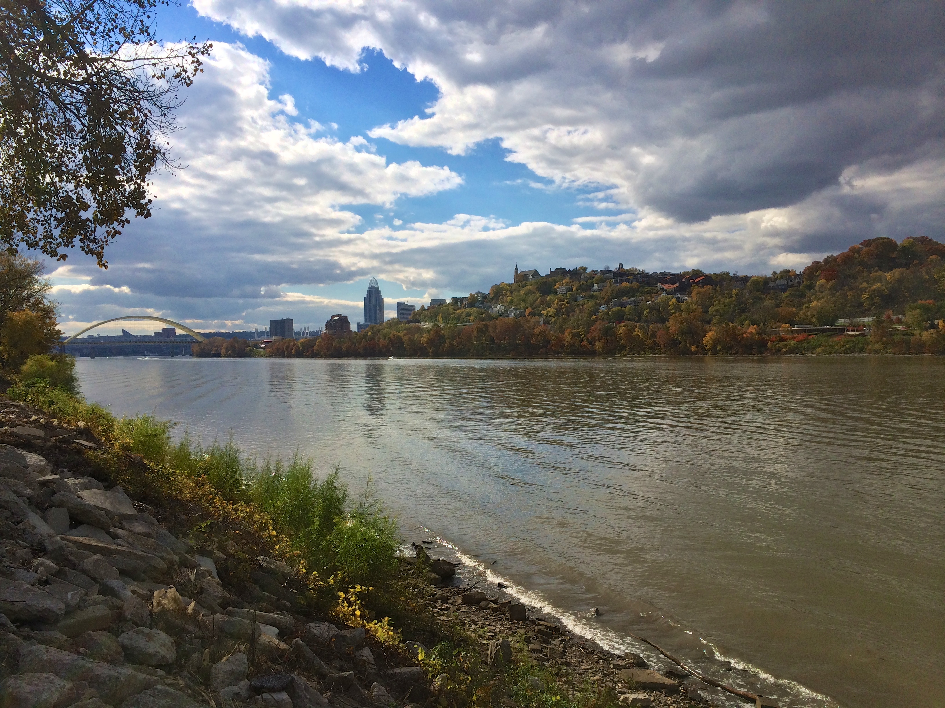
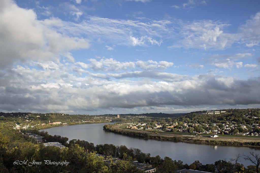
Good Morning Ohio River

Lahaina Suset
Mellow Yellow...view Large

Eden Park Sunrise (explored)
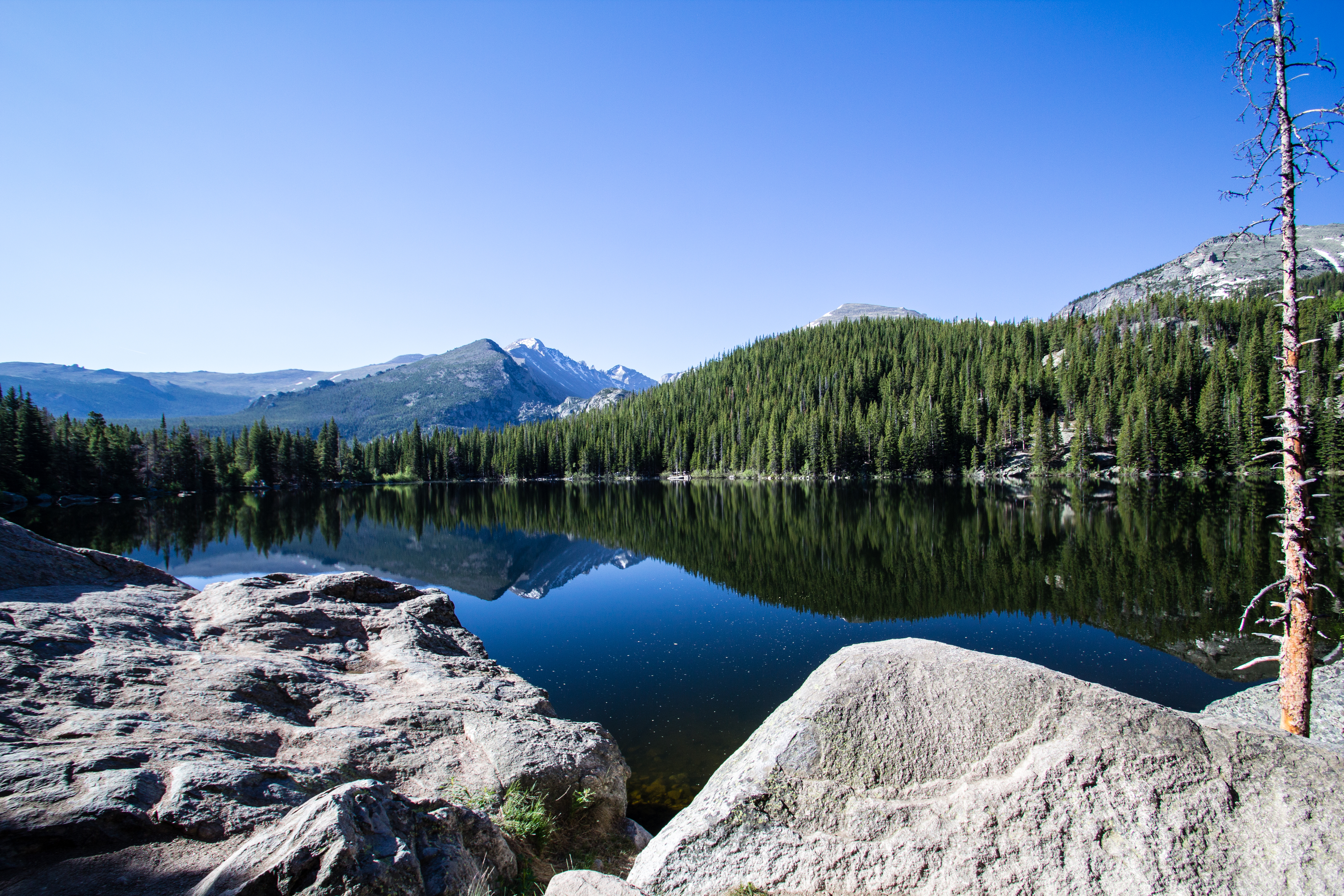
Bear Lake Morning

IMG_2713.JPG
IMG_1937.JPG
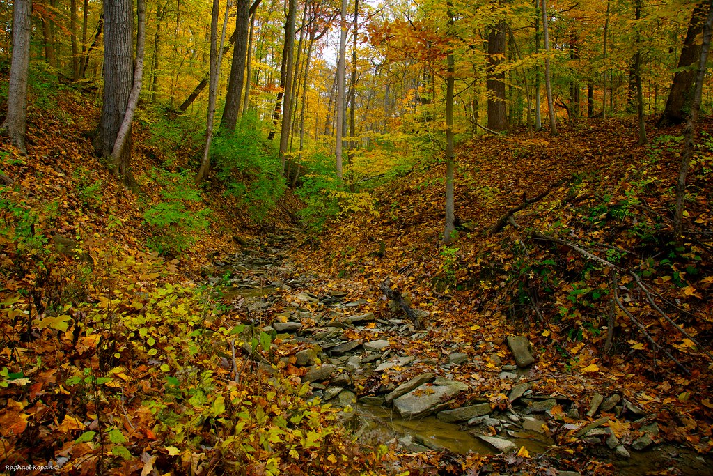
Avey’s Run · Detail
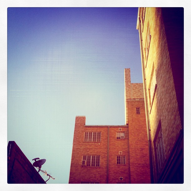
Downtown Cincinnati from Bellevue, Kentucky

TrackHead Studios - From The Ground Up

Clouds and a Sunset
California Woods Park, behind the ranger station

IMG_3116.JPG

Something new
Sunset Whim_0022a

2012-05-24 18.57.46.jpg

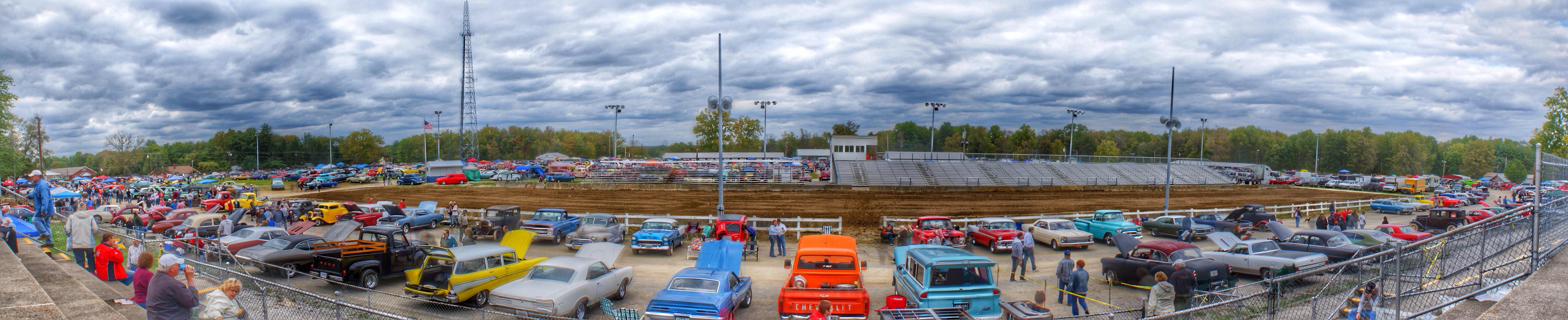
Ault-020607 011
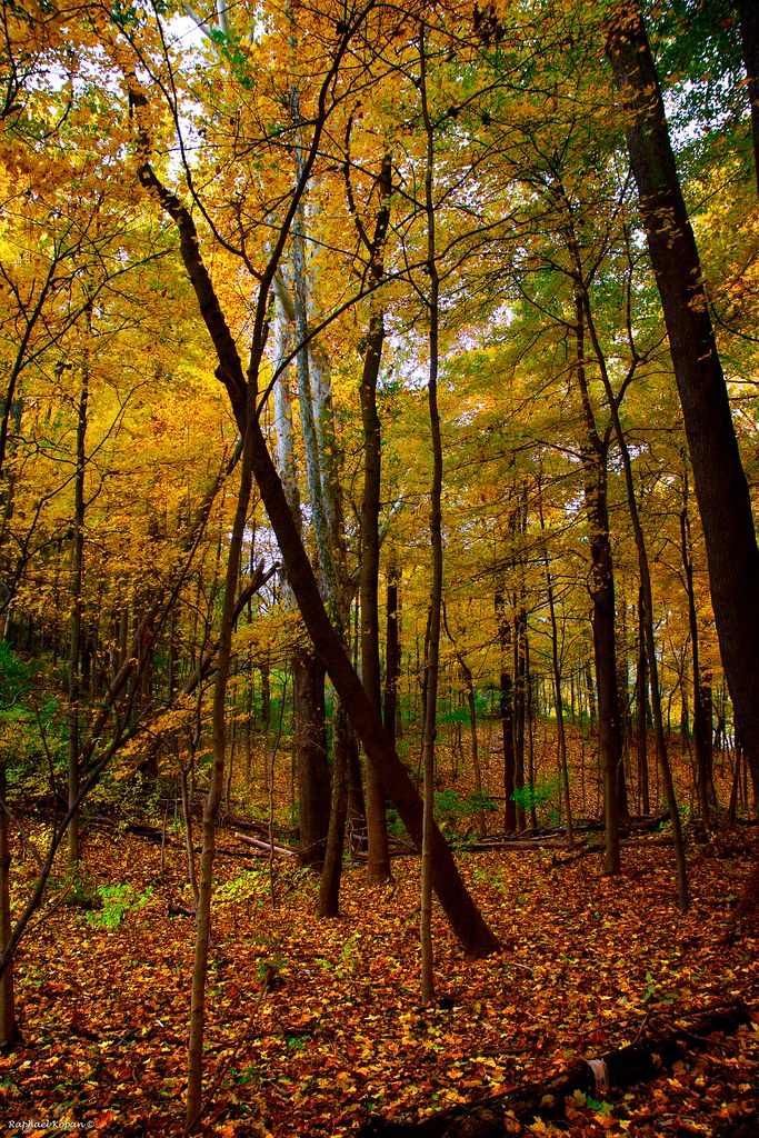
Ridge trail
Topographic Map of Brookville Trail, Cincinnati, OH, USA
Find elevation by address:

Places near Brookville Trail, Cincinnati, OH, USA:
Mount Carmel
Summerside
4959 Cinnamon Cir
8450 Broadwell Rd
785 Diane Dr
Eastgate Mall
Terrace Dr, Cincinnati, OH, USA
661 Tournament Dr
665 Tournament Dr
667 Tournament Dr
Dry Run
8026 Evening Whisper Way
8026 Evening Whisper Way
7645 Overlook Hills Ln
Milaine Dr, Cincinnati, OH, USA
Terrace Park
Ymca Road
Union Township
653 Hyacinth Rd
951 Hyacinth Rd
Recent Searches:
- Elevation of Corso Fratelli Cairoli, 35, Macerata MC, Italy
- Elevation of Tallevast Rd, Sarasota, FL, USA
- Elevation of 4th St E, Sonoma, CA, USA
- Elevation of Black Hollow Rd, Pennsdale, PA, USA
- Elevation of Oakland Ave, Williamsport, PA, USA
- Elevation of Pedrógão Grande, Portugal
- Elevation of Klee Dr, Martinsburg, WV, USA
- Elevation of Via Roma, Pieranica CR, Italy
- Elevation of Tavkvetili Mountain, Georgia
- Elevation of Hartfords Bluff Cir, Mt Pleasant, SC, USA