Elevation of Taum Sauk Mountain, Arcadia Township, MO, USA
Location: United States > Missouri > Iron County > Arcadia Township >
Longitude: -90.7279003
Latitude: 37.5703266
Elevation: 545m / 1788feet
Barometric Pressure: 0KPa
Related Photos:
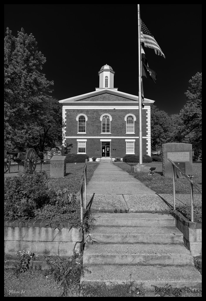
The Iron County Courthouse - No. 2
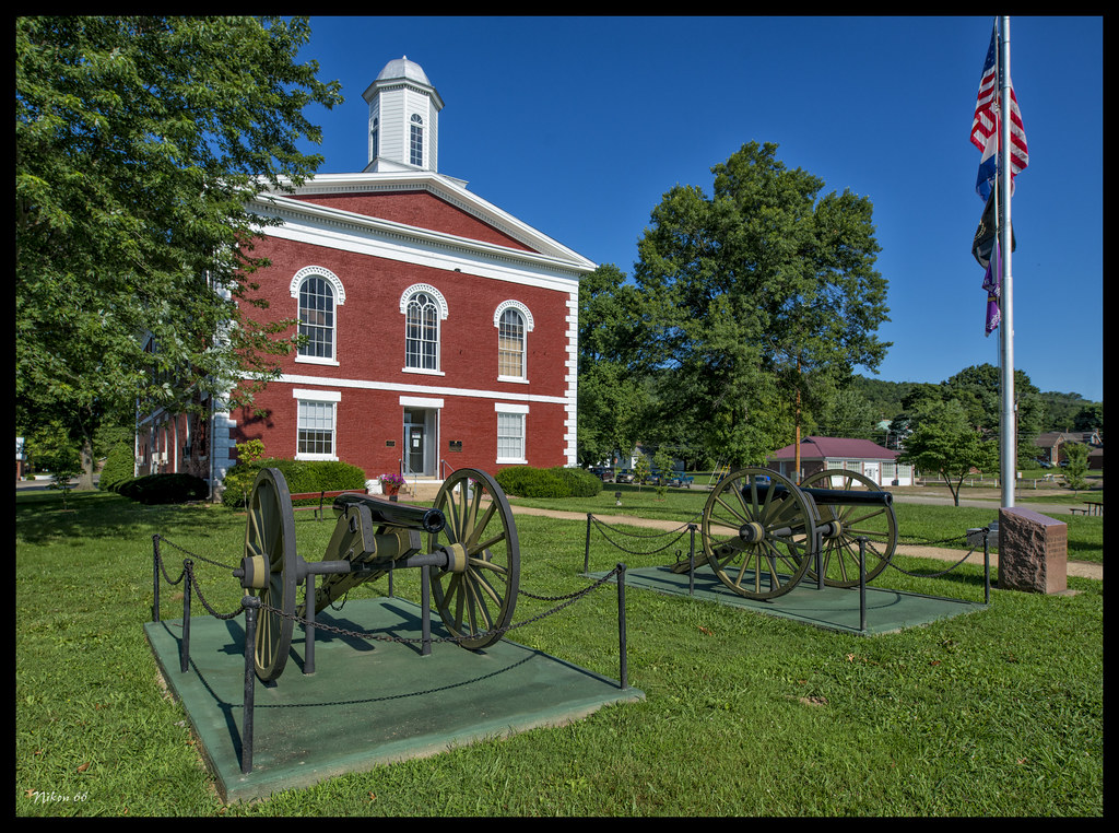
The Iron County Courthouse - No. 1

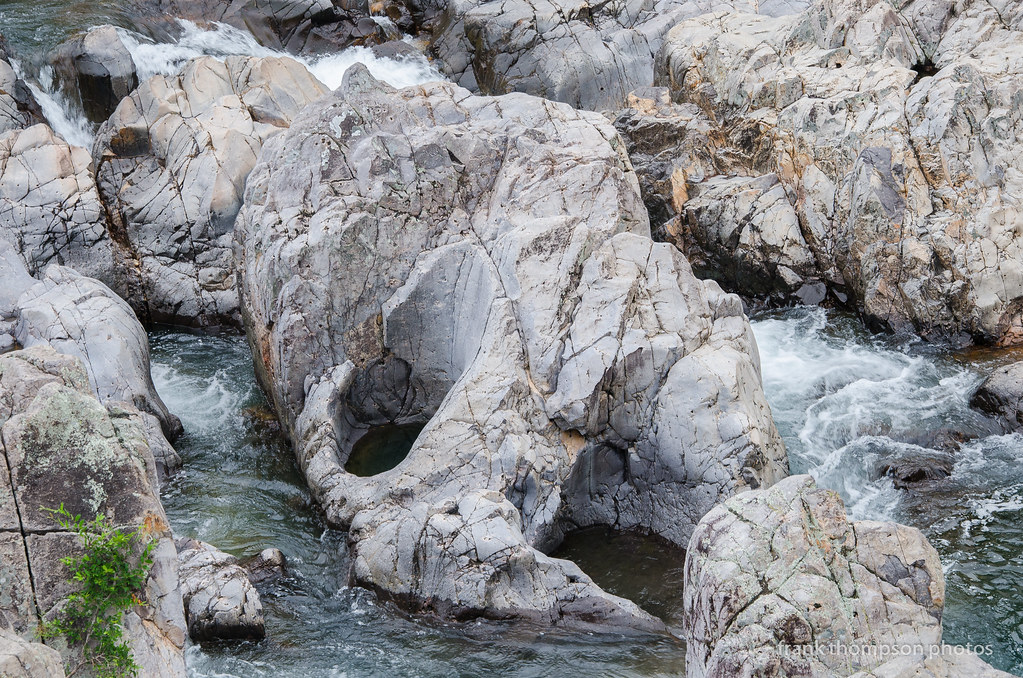
A surreal view from Elephant Rocks State Park
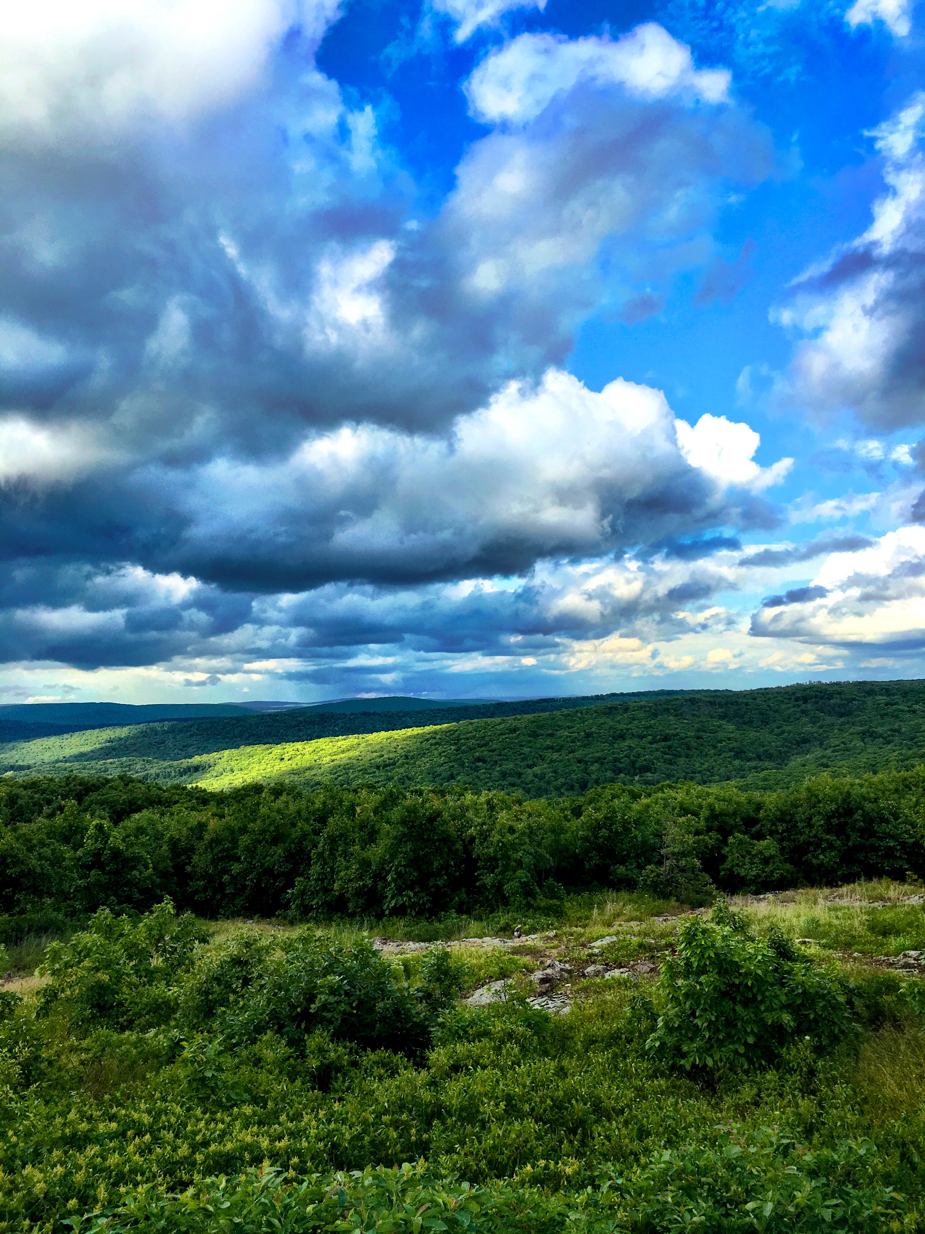
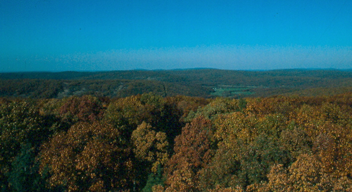
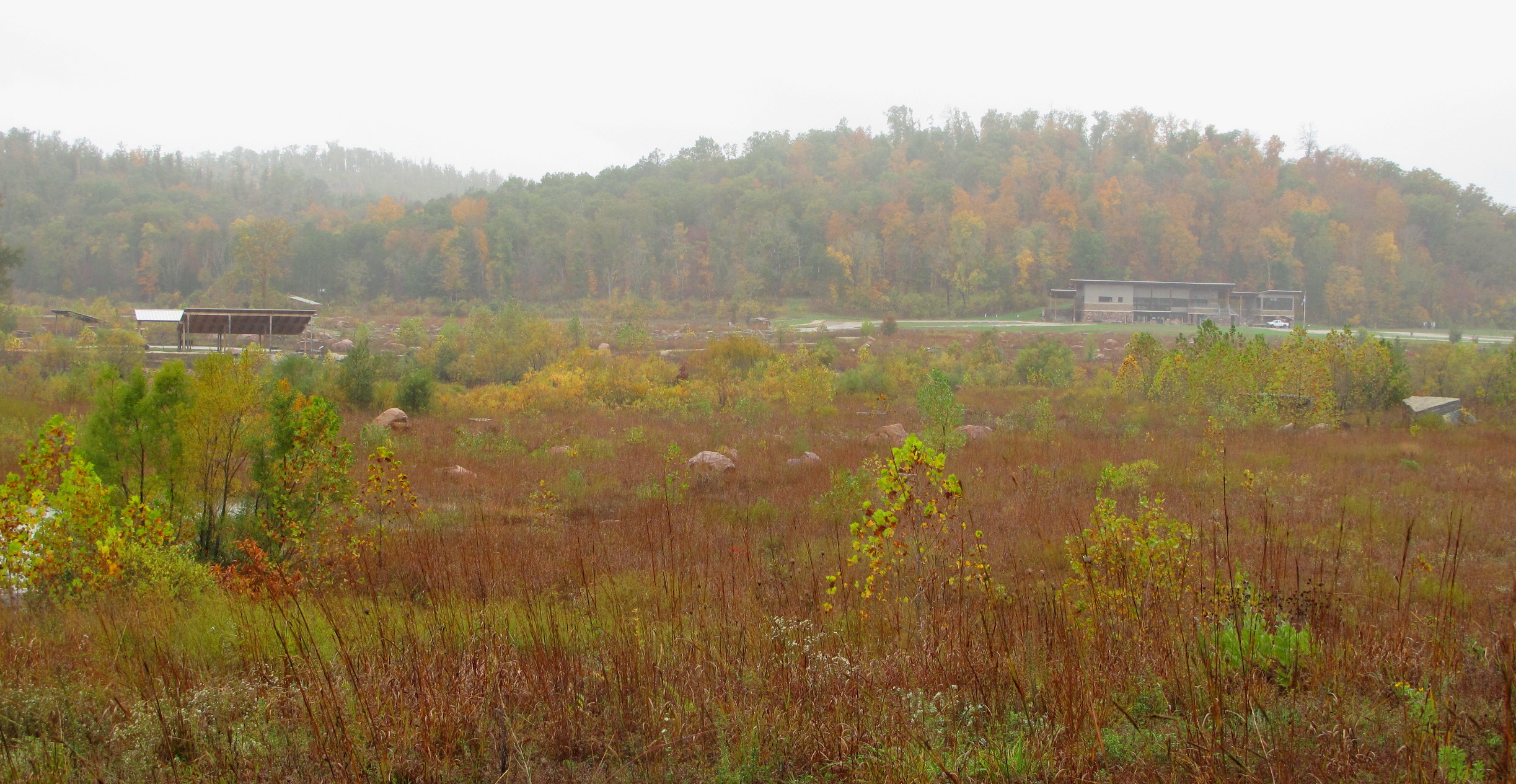
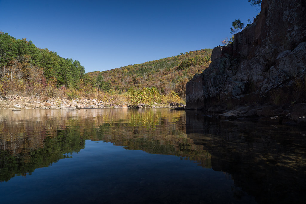
Taum Saul View

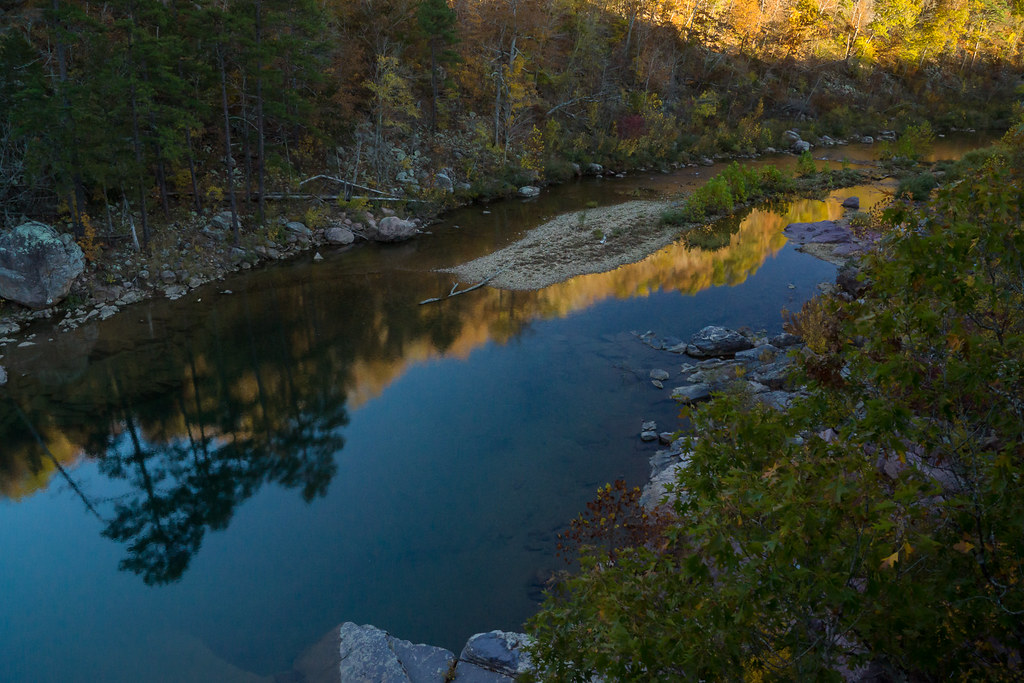
Taum Sauk Sunset
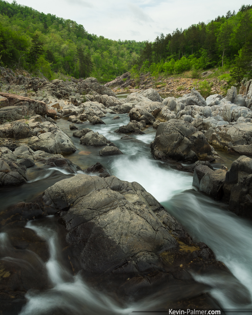
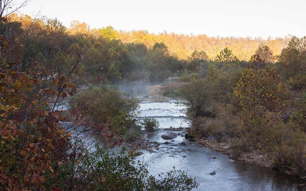
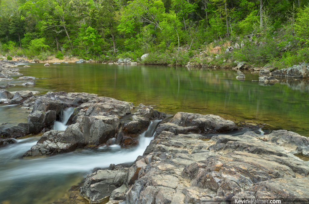
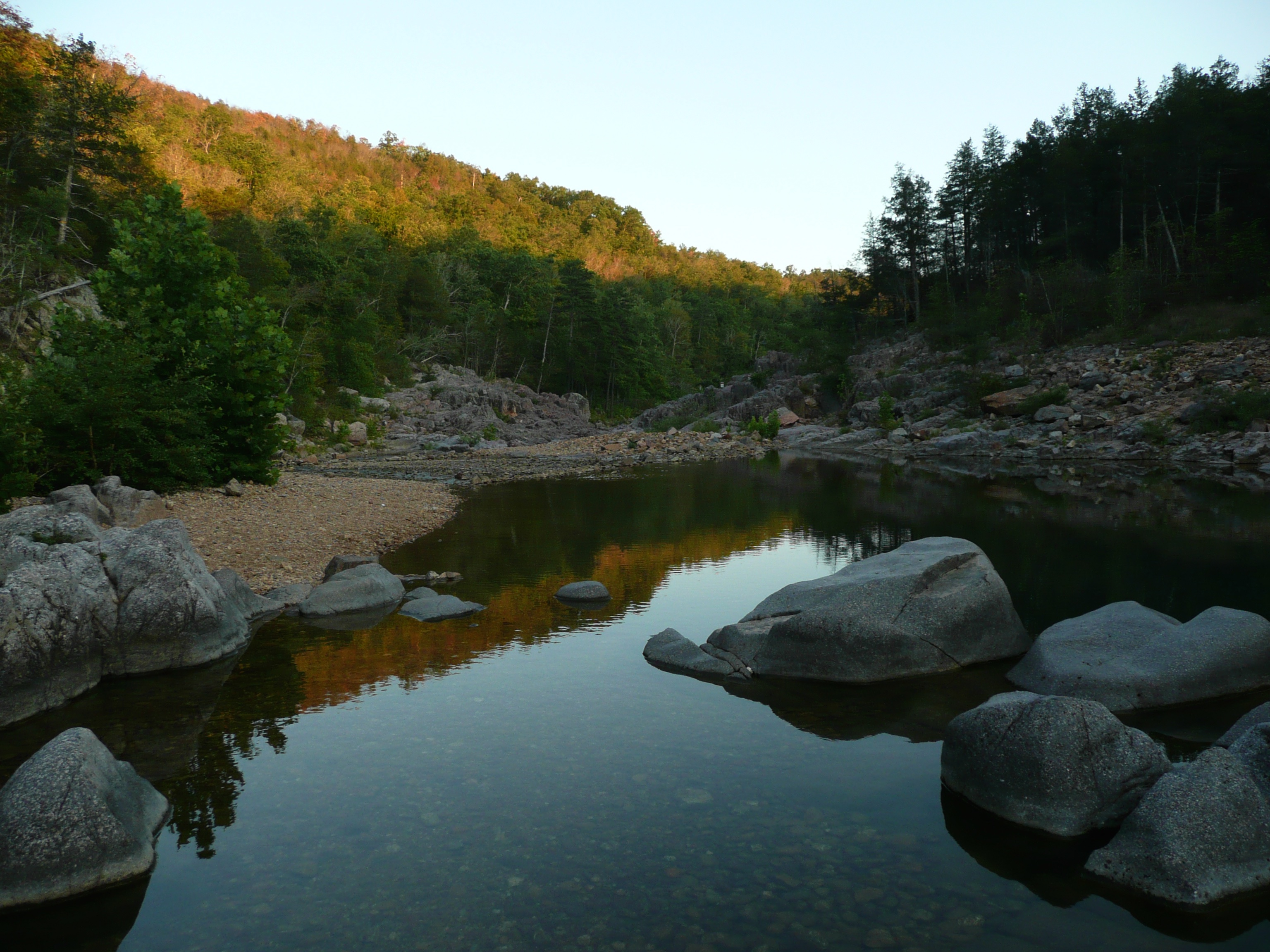
Down the Black River

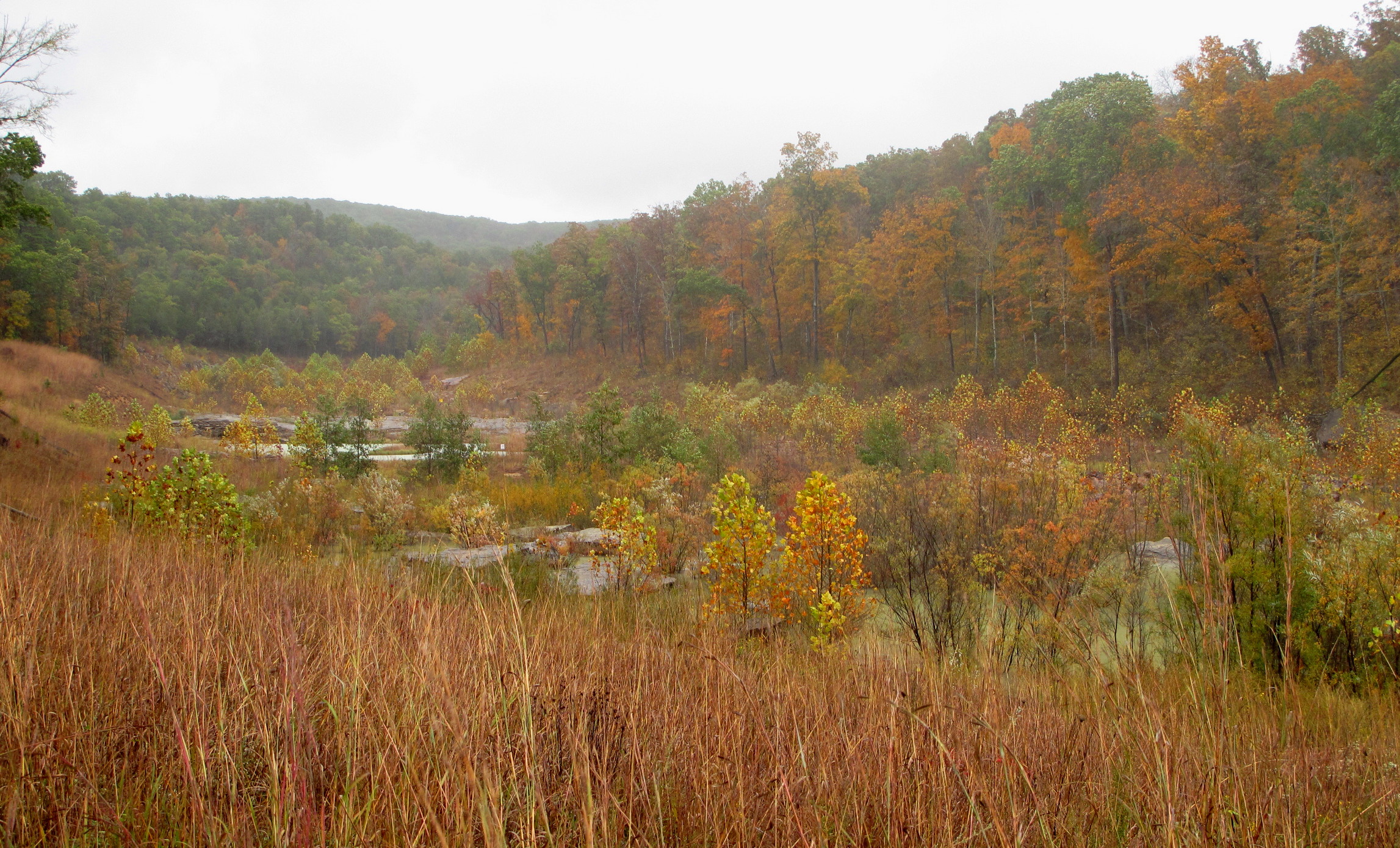
Johnson's Shut-Ins 3
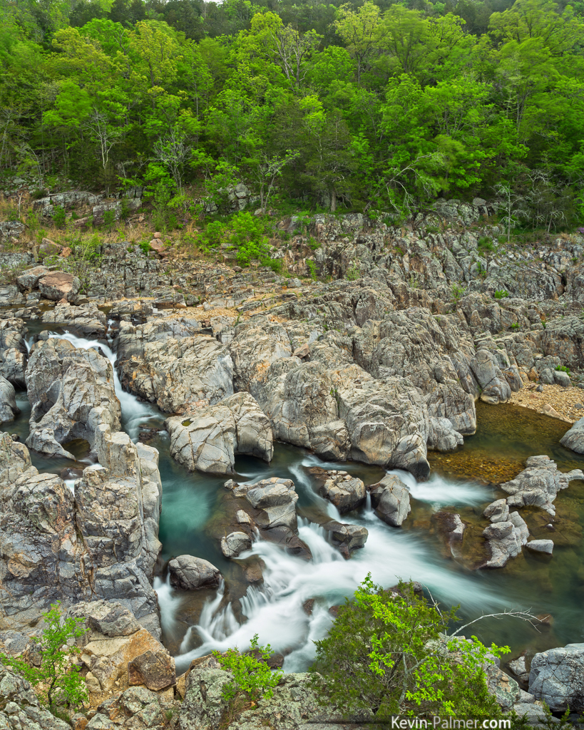
Above the Shut-Ins
Johnson's Shut-Ins 1
Johnson's Shut-Ins 2
Taum Sauk Vista
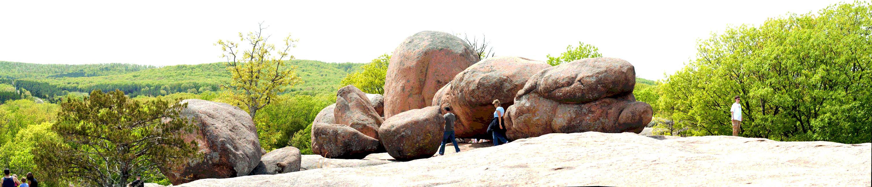
Elephant Rocks State Park - Missouri

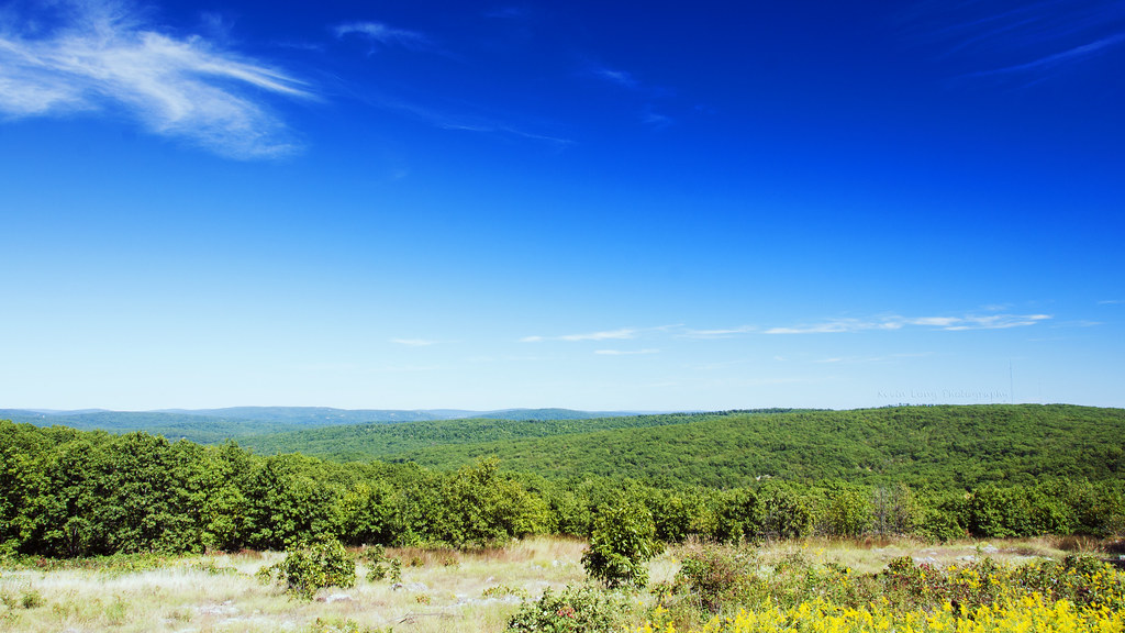
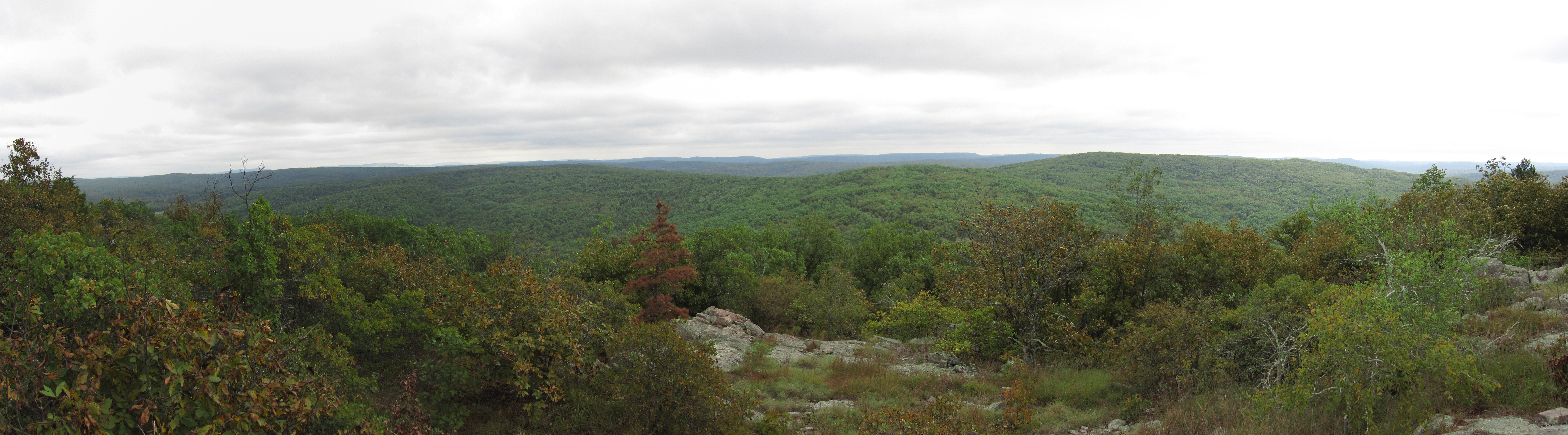
Glade View
Taum Sauk Mountain, Iron County (Mo.), 31 October 1986
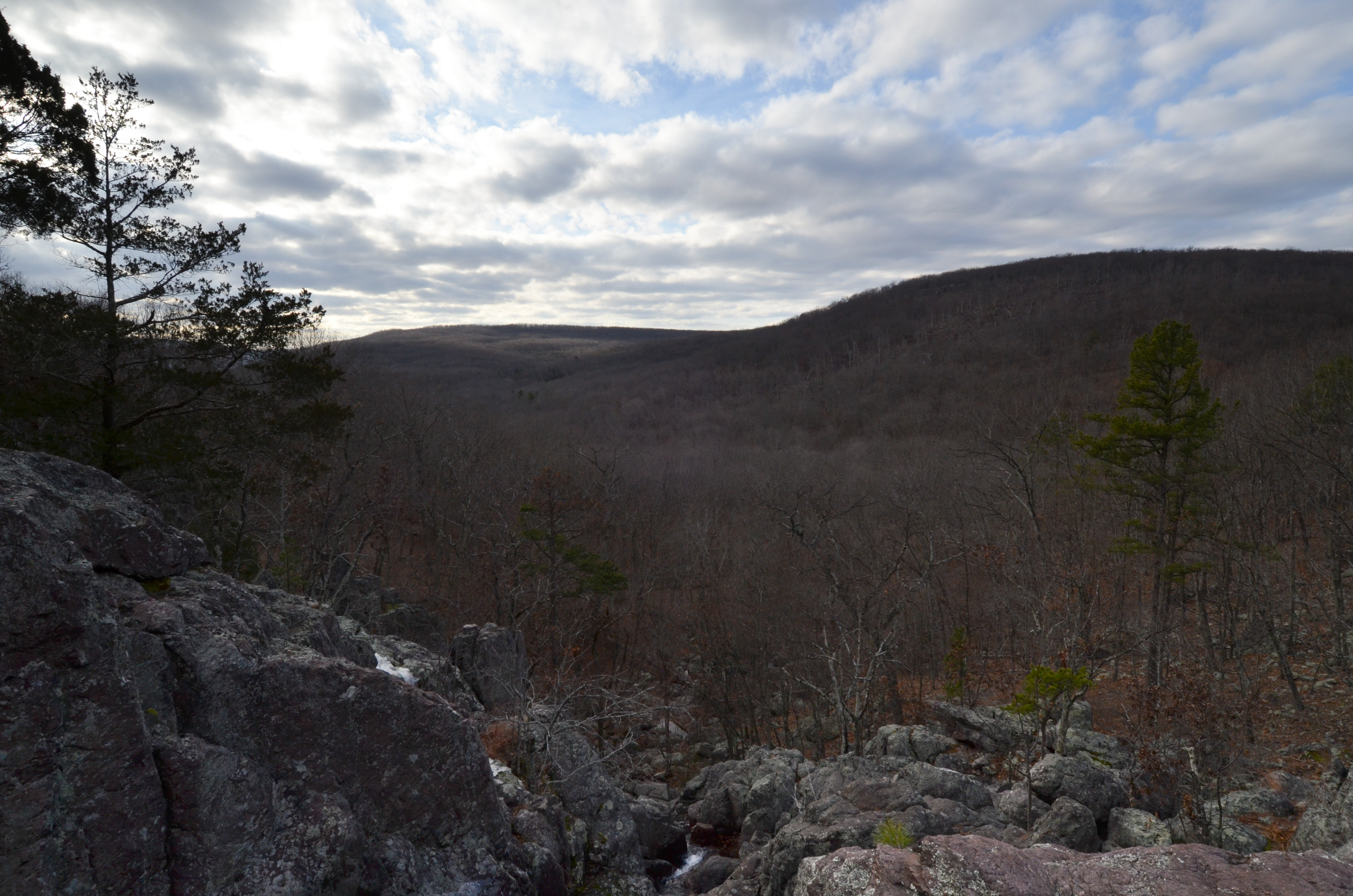
View from Mina Sauk Falls
Johnson's Shut-Ins State Park, Reynolds County (Mo.), 14 October 2014

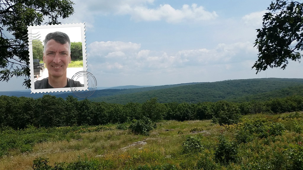
View from a hill
Johnson's Shut-Ins State Park, Reynolds County (Mo.), 14 October 2014
2014-07-20 12.16.19

Johnson's Shut-Ins
Bell Mountain
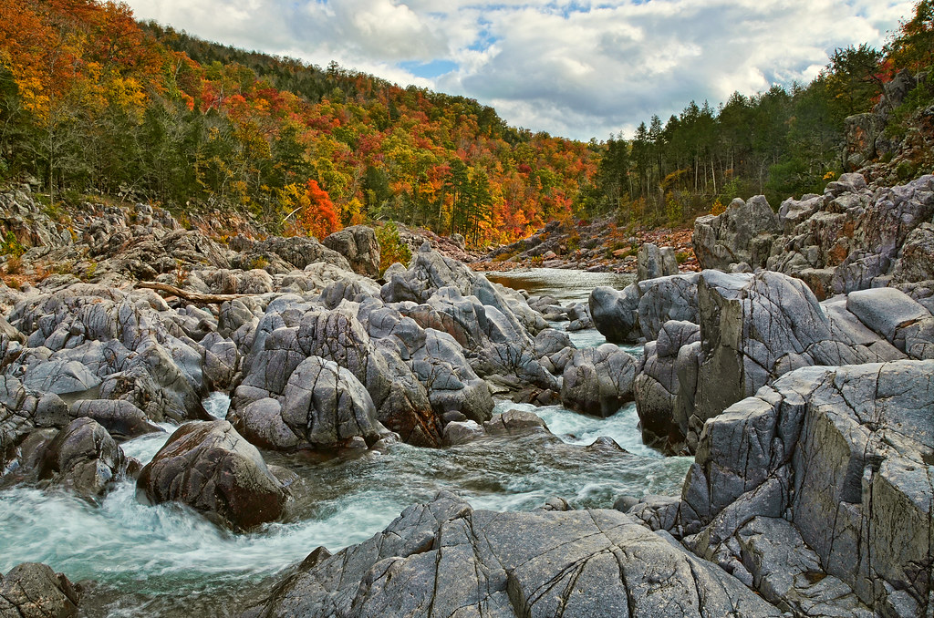
Black River

Elephant Rocks | Missouri

Civil War Reenactment, Fort Davidson SHS, Pilot Knob
In Johnsons Shut-Ins State Park, Missouri
The Edge of Morning
An In-Depth Look

Moss and Lichen on the hillside
Clear Skies

Johnsons Shut-ins 04-Sunset
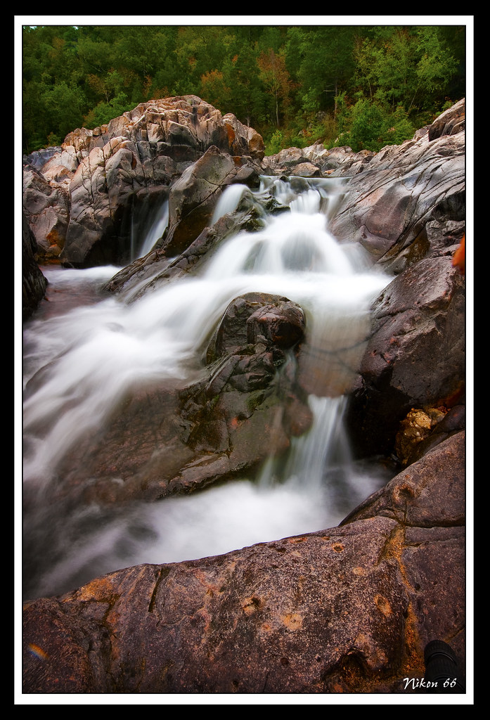
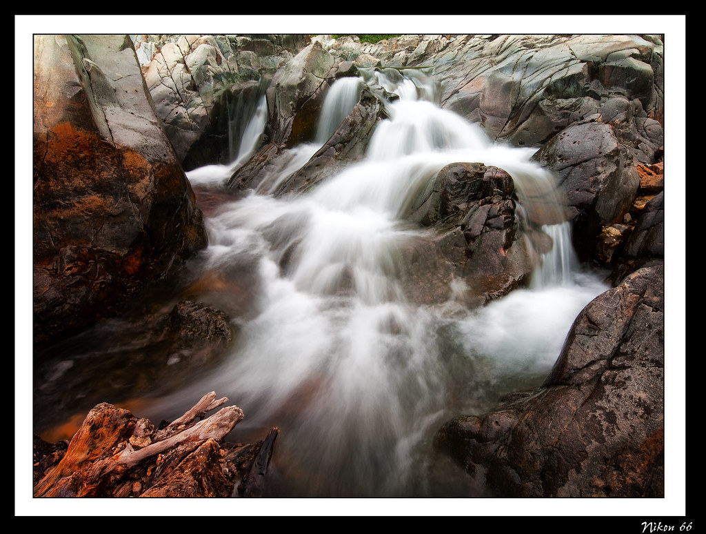
Black River Falls
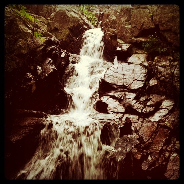
A tiny portion of the largest waterfall in Missouri
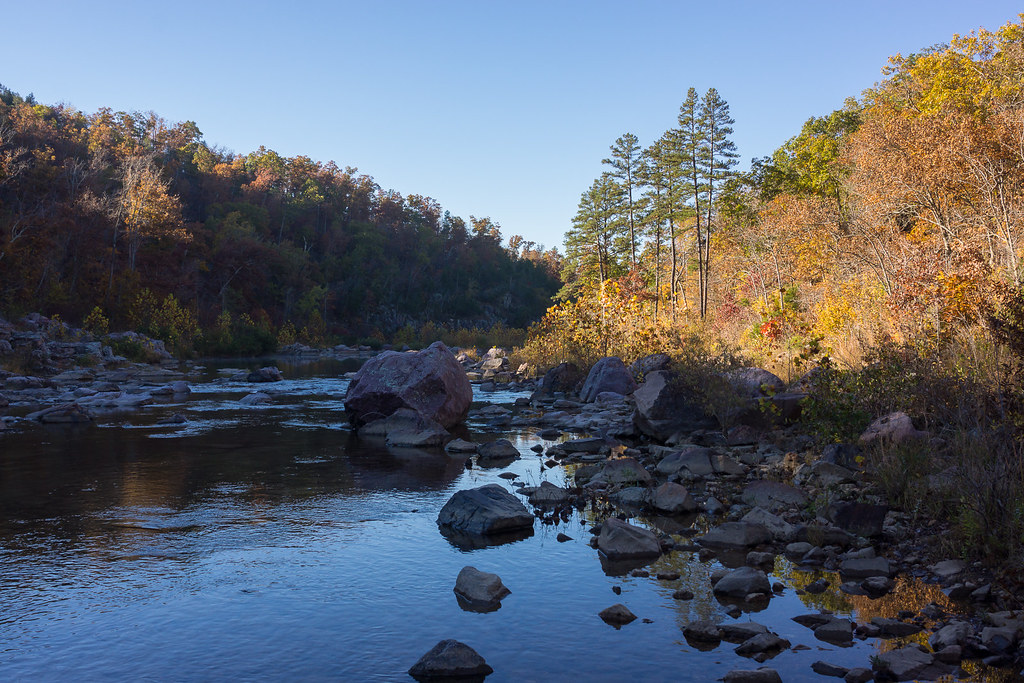
River Sunrise

Elephant Rocks State Park
120810-02 (2012-08-10) - 0139

Elephant Rocks

Lichen Covered Boulders on the Mina Sauk Falls Trail
Topographic Map of Taum Sauk Mountain, Arcadia Township, MO, USA
Find elevation by address:

Places near Taum Sauk Mountain, Arcadia Township, MO, USA:
Iron County
Arcadia Township
Maple St, Arcadia, MO, USA
Subway Restaurants
1513 Mo-21
1513 Mo-21
1513 Mo-21
Arcadia
Pilot Knob
Ironton
Lesterville Township
Lesterville, MO, USA
MO-49, Annapolis, MO, USA
Ironton, MO, USA
392 State Hwy N
Lesterville
Sherwood Forest Camp Inc
County Road 144
Annapolis
Union Township
Recent Searches:
- Elevation of 10370, West 107th Circle, Westminster, Jefferson County, Colorado, 80021, USA
- Elevation of 611, Roman Road, Old Ford, Bow, London, England, E3 2RW, United Kingdom
- Elevation of 116, Beartown Road, Underhill, Chittenden County, Vermont, 05489, USA
- Elevation of Window Rock, Colfax County, New Mexico, 87714, USA
- Elevation of 4807, Rosecroft Street, Kempsville Gardens, Virginia Beach, Virginia, 23464, USA
- Elevation map of Matawinie, Quebec, Canada
- Elevation of Sainte-Émélie-de-l'Énergie, Matawinie, Quebec, Canada
- Elevation of Rue du Pont, Sainte-Émélie-de-l'Énergie, Matawinie, Quebec, J0K2K0, Canada
- Elevation of 8, Rue de Bécancour, Blainville, Thérèse-De Blainville, Quebec, J7B1N2, Canada
- Elevation of Wilmot Court North, 163, University Avenue West, Northdale, Waterloo, Region of Waterloo, Ontario, N2L6B6, Canada
- Elevation map of Panamá Province, Panama
- Elevation of Balboa, Panamá Province, Panama
- Elevation of San Miguel, Balboa, Panamá Province, Panama
- Elevation of Isla Gibraleón, San Miguel, Balboa, Panamá Province, Panama
- Elevation of 4655, Krischke Road, Schulenburg, Fayette County, Texas, 78956, USA
- Elevation of Carnegie Avenue, Downtown Cleveland, Cleveland, Cuyahoga County, Ohio, 44115, USA
- Elevation of Walhonding, Coshocton County, Ohio, USA
- Elevation of Clifton Down, Clifton, Bristol, City of Bristol, England, BS8 3HU, United Kingdom
- Elevation map of Auvergne-Rhône-Alpes, France
- Elevation map of Upper Savoy, Auvergne-Rhône-Alpes, France