Elevation of Annapolis, MO, USA
Location: United States > Missouri > Iron County > Union Township >
Longitude: -90.697619
Latitude: 37.3603272
Elevation: 195m / 640feet
Barometric Pressure: 99KPa
Elevation Map:
Satellite Map:
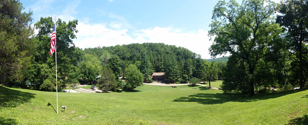
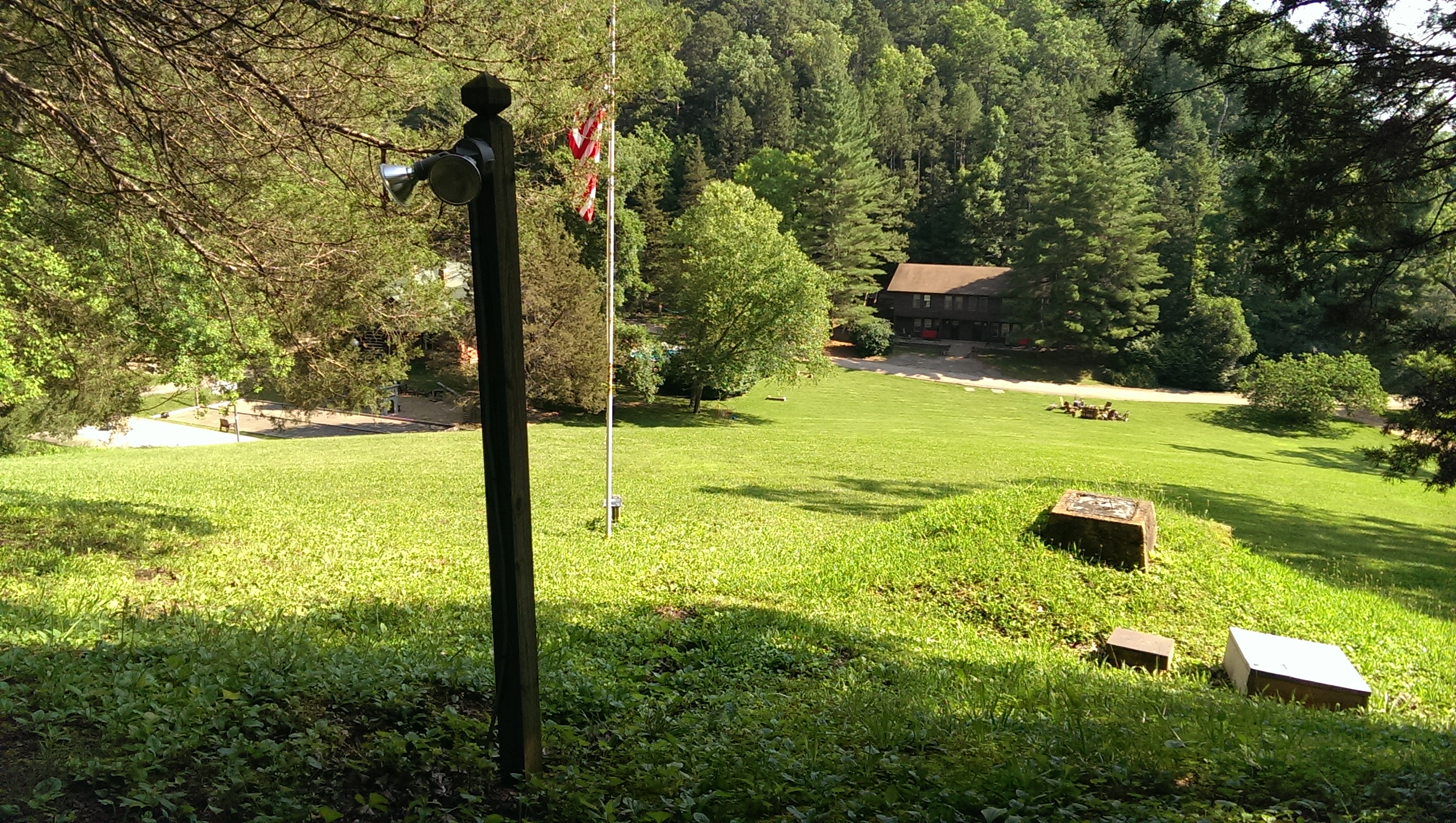
Related Photos:
2014-07-18 11.37.24

Black River '10 Barn

IMAG0349.jpg
IMAG0351.jpg
IMAG0352.jpg
IMAG0355.jpg
IMAG0357.jpg

IMAG0417.jpg

9.8.11.28

Route 66

IMAG0424.jpg

IMAG0423.jpg

IMAG0421.jpg

IMAG0422.jpg

IMAG0418.jpg

IMAG0419.jpg

IMAG0416.jpg

IMAG0415.jpg

IMAG0414.jpg

IMAG0411.jpg

IMAG0402.jpg

IMAG0403.jpg

IMAG0401.jpg

IMAG0399.jpg

IMAG0400.jpg

IMAG0397.jpg

IMAG0398.jpg
IMAG0396.jpg
Topographic Map of Annapolis, MO, USA
Find elevation by address:

Places in Annapolis, MO, USA:
Places near Annapolis, MO, USA:
County Road 144
Union Township
MO-49, Annapolis, MO, USA
Lesterville
Iron County
Liberty Township
Lesterville Township
Lesterville, MO, USA
Webb Township
Logan Township
Sherwood Forest Camp Inc
Taum Sauk Mountain
2459 Wayne County 312
Patterson
Clearwater Lake
Maple St, Arcadia, MO, USA
Co Rd, Annapolis, MO, USA
Arcadia
Arcadia Township
Ironton
Recent Searches:
- Elevation of Corso Fratelli Cairoli, 35, Macerata MC, Italy
- Elevation of Tallevast Rd, Sarasota, FL, USA
- Elevation of 4th St E, Sonoma, CA, USA
- Elevation of Black Hollow Rd, Pennsdale, PA, USA
- Elevation of Oakland Ave, Williamsport, PA, USA
- Elevation of Pedrógão Grande, Portugal
- Elevation of Klee Dr, Martinsburg, WV, USA
- Elevation of Via Roma, Pieranica CR, Italy
- Elevation of Tavkvetili Mountain, Georgia
- Elevation of Hartfords Bluff Cir, Mt Pleasant, SC, USA