Elevation of Tarrington VIC, Australia
Location: Australia > Victoria > Southern Grampians Shire >
Longitude: 142.1
Latitude: -37.766667
Elevation: 251m / 823feet
Barometric Pressure: 98KPa
Elevation Map:
Satellite Map:
Related Photos:

Gray Street, Hamilton (1926)

Horsham Permewan Wright Warehouse Feb 2009 download 043

Horsham Permewan Wright Warehouse January 27th 2014 003

Horsham Permewan Wright Warehouse

Storm and rainbow

First view of the Southern Grampians

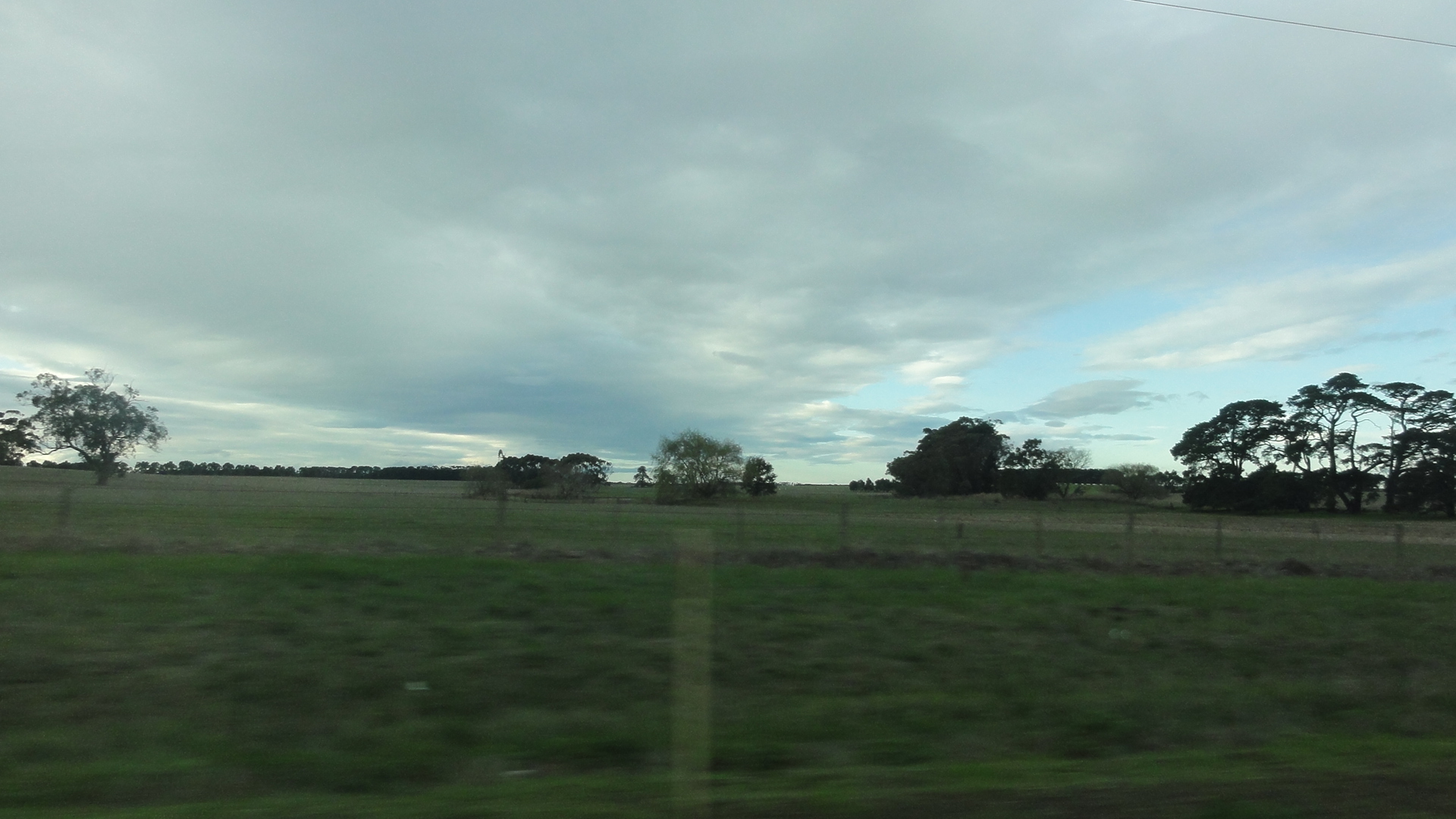
Farmscape in Western Victoria

AK-20161007-3100

Trail Behind

Hamilton Horizon

Mt. Napier Crater 2

Mt. Napier Crater 4

Jess's Farm
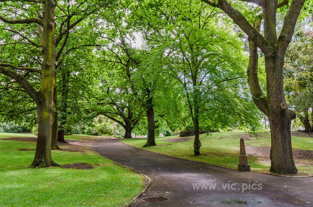
Hamilton Botanic Gardens

Sheep with spring lambs

Sheep with spring lambs

Lake Hamilton

Hamilton Beach

Nigretta falls

The Day of Judgment cometh

Dramatic stormy sky

live high
2013 Melbourne/Geelong Tour

framing - IMG_8473 (5)

Mt. Napier Crater 3

20070708_171647 Adelaide Road Trip (SONY) 351

Mt. Napier Summit

Mt. Napier Crater 1

Rocky Outcrop
Topographic Map of Tarrington VIC, Australia
Find elevation by address:

Places near Tarrington VIC, Australia:
170 Leura Ln
7540 Glenelg Hwy
Penshurst
Glenthompson
2550 Caramut-glenthompson Rd
Roses Gap
Horsham Rural City
24 Barkly St W
30 Montgomery St
12 Hucker St
Ararat
Horsham
Horsham
Derrinallum
25 Main St
Northern Grampians Shire
7 Simpson Ave
Rupanyup
Beaufort
Townsing Road
Recent Searches:
- Elevation of Corso Fratelli Cairoli, 35, Macerata MC, Italy
- Elevation of Tallevast Rd, Sarasota, FL, USA
- Elevation of 4th St E, Sonoma, CA, USA
- Elevation of Black Hollow Rd, Pennsdale, PA, USA
- Elevation of Oakland Ave, Williamsport, PA, USA
- Elevation of Pedrógão Grande, Portugal
- Elevation of Klee Dr, Martinsburg, WV, USA
- Elevation of Via Roma, Pieranica CR, Italy
- Elevation of Tavkvetili Mountain, Georgia
- Elevation of Hartfords Bluff Cir, Mt Pleasant, SC, USA