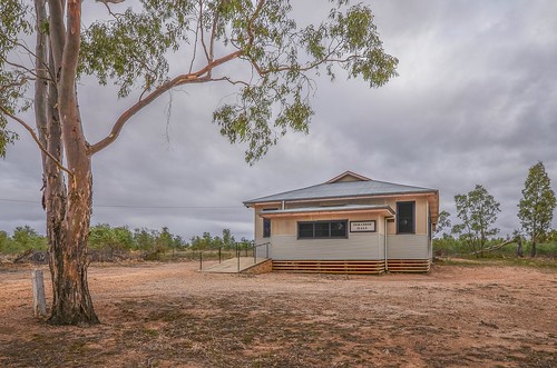
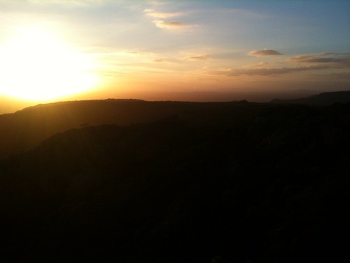
Elevation map of Northern Grampians Shire, Northern Grampians, VIC, Australia
Location: Australia > Victoria >
Longitude: 142.959966
Latitude: -36.904424
Elevation: 212m / 696feet
Barometric Pressure: 99KPa
Related Photos:
Topographic Map of Northern Grampians Shire, Northern Grampians, VIC, Australia
Find elevation by address:

Places in Northern Grampians Shire, Northern Grampians, VIC, Australia:
Places near Northern Grampians Shire, Northern Grampians, VIC, Australia:
12 Hucker St
Ararat
24 Barkly St W
30 Montgomery St
7 Simpson Ave
Rupanyup
Townsing Road
Roses Gap
Townsing Road
Townsing Road
Beaufort
Horsham
Horsham
Horsham Rural City
Glenthompson
2550 Caramut-glenthompson Rd
7540 Glenelg Hwy
Derrinallum
25 Main St
Penshurst
Recent Searches:
- Elevation of Corso Fratelli Cairoli, 35, Macerata MC, Italy
- Elevation of Tallevast Rd, Sarasota, FL, USA
- Elevation of 4th St E, Sonoma, CA, USA
- Elevation of Black Hollow Rd, Pennsdale, PA, USA
- Elevation of Oakland Ave, Williamsport, PA, USA
- Elevation of Pedrógão Grande, Portugal
- Elevation of Klee Dr, Martinsburg, WV, USA
- Elevation of Via Roma, Pieranica CR, Italy
- Elevation of Tavkvetili Mountain, Georgia
- Elevation of Hartfords Bluff Cir, Mt Pleasant, SC, USA


