Elevation of Tarnhill Drive, Tarnhill Dr, Flat Rock, NC, USA
Location: United States > North Carolina > Henderson County > Green River > Flat Rock >
Longitude: -82.442423
Latitude: 35.2496228
Elevation: 809m / 2654feet
Barometric Pressure: 92KPa
Elevation Map:
Satellite Map:
Related Photos:

Log Bench

Hendersonville Bears 13 - Into The Wild

Orange Peppers

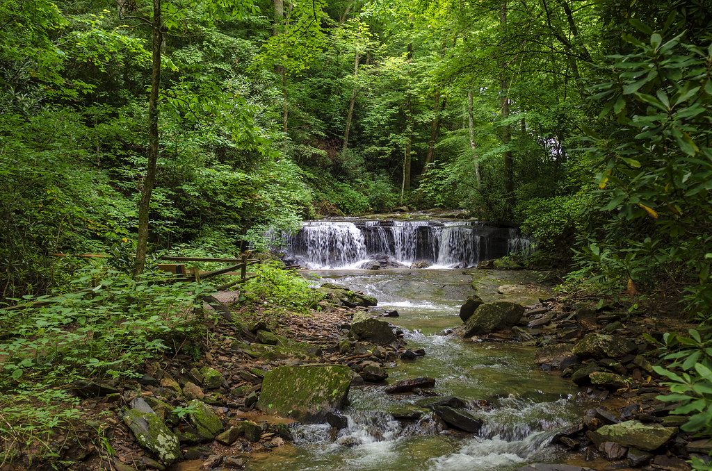
Pearson's Falls

Sugarloaf Elementary School, Hendersonville, NC

PV McCain Traffic Lights

PV McCain Traffic Lights

PV McCain Traffic Lights

PV McCains Traffic Lights

Winter Trees at Dawn

PV McCain Traffic Lights

Stone Mountain

Downtown Hendersonville, North Carolina

Big Bradley Falls

PEARSON'S FALLS BLUE RIDGE MOUNTAINS ~ N.C.

Early December Sunset

Jeter Mountain Fog

In a Hurry

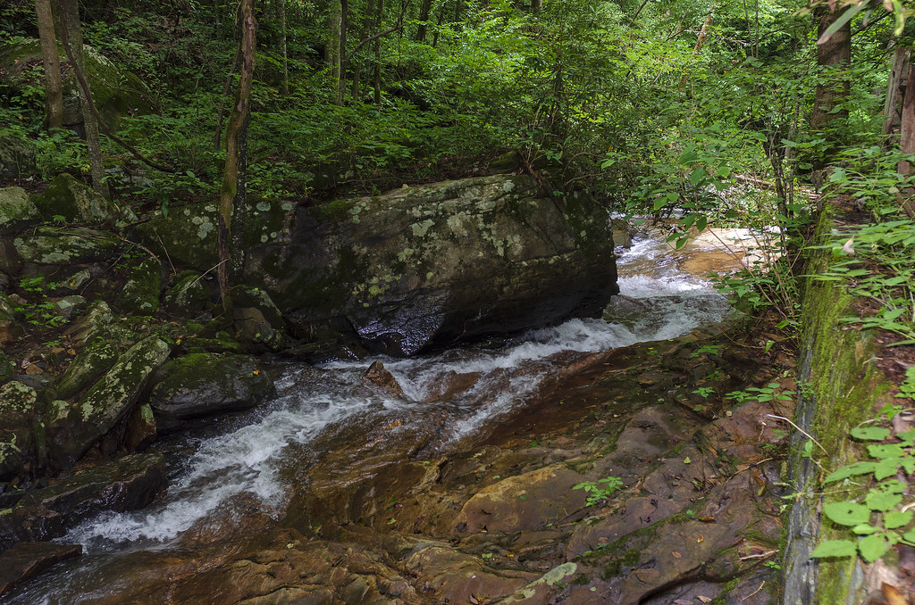
Cascading Water

Poinsett Bridge near Highland, SC

Pearson Lower New Trail - Read Description
Peaceful Trail
Gentle Falls on the North Pacolet River

Falls Along the Pacolet

Water Dancing on the Rocks

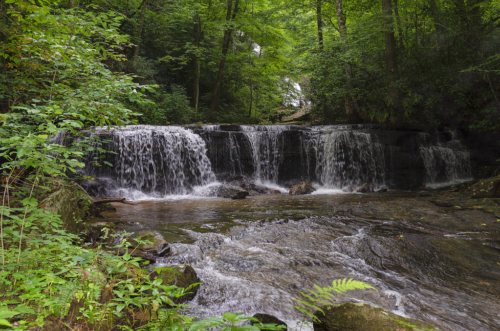
Pearson Falls

Gentle North Pacolet

North Pacolet River

Sunrise Tryon

North Pacolet River II

Moss on River Rock

Pearson Falls - BW

Little Bradley Falls (Saluda, North Carolina)
North Pacolet River III

Low Key

Pearson Falls II

Mountain Magenta

The Carl Sandburg National Historic Site

The Park At Flat Rock (Flat Rock, North Carolina)

Seven Falls (Etowah, North Carolina)

Road to Nowhere
Topographic Map of Tarnhill Drive, Tarnhill Dr, Flat Rock, NC, USA
Find elevation by address:

Places near Tarnhill Drive, Tarnhill Dr, Flat Rock, NC, USA:
121 Tarnhill Dr
101 Tarnhill Dr
107 Horizon Ln
Kenmure Country Club
324 Silent Rise Ln
104 Abbeyshire Way
424 Chaparral Ln
Kenmure Drive
183 Old Hillside Ln
113 Burning Tree Ln
108 Sunny View Ln
305 Kenmure Dr
221 Fern Creek Dr
229 Fern Creek Dr
300 Winding Meadows Dr
712 Blossom Ln
136 Ridge Ln
136 Ridge Ln
512 Cobblestone Ln
334 Dawnbrook Dr
Recent Searches:
- Elevation of Corso Fratelli Cairoli, 35, Macerata MC, Italy
- Elevation of Tallevast Rd, Sarasota, FL, USA
- Elevation of 4th St E, Sonoma, CA, USA
- Elevation of Black Hollow Rd, Pennsdale, PA, USA
- Elevation of Oakland Ave, Williamsport, PA, USA
- Elevation of Pedrógão Grande, Portugal
- Elevation of Klee Dr, Martinsburg, WV, USA
- Elevation of Via Roma, Pieranica CR, Italy
- Elevation of Tavkvetili Mountain, Georgia
- Elevation of Hartfords Bluff Cir, Mt Pleasant, SC, USA