Elevation of Tarnhill Dr, Flat Rock, NC, USA
Location: United States > North Carolina > Henderson County > Green River > Flat Rock >

Longitude: -82.441889

Latitude: 35.252786

Elevation: 712m / 2336feet

Barometric Pressure: 93KPa

Elevation Map:

elevation map of Tarnhill Dr, Flat Rock, NC, USA

Satellite Map:

Satellite map of Tarnhill Dr, Flat Rock, NC, USA

Related Photos:

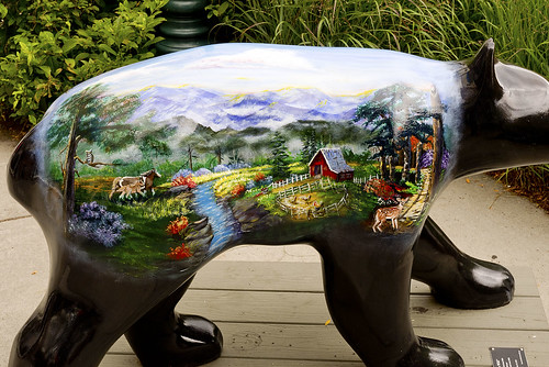
bearfootin’publicartwalk bear statue sculpture
Hendersonville Bears 13 - Into The Wild
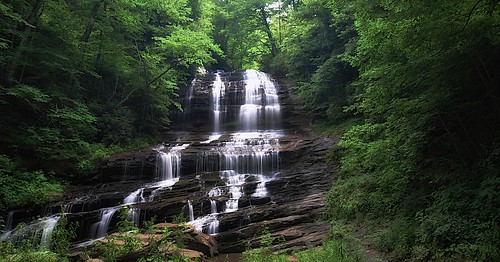
trees usa mountains northcarolina waterfalls forests blueridgemountains eastcoast saluda appalachianmountains supershot panoramafotográfico terpsphotostream
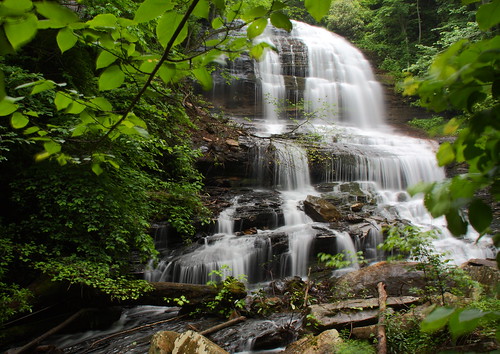
PEARSON'S FALLS BLUE RIDGE MOUNTAINS ~ N.C.
flatrock northcarolina unitedstates us
Orange Peppers
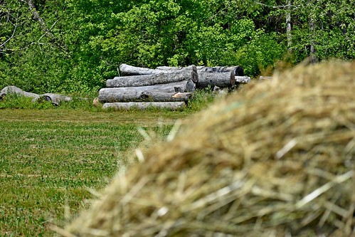
roundbale hay bale dof logs trees green baledhay lowresolutionversion ncmountainman nikon d3400 phixe
Logs and Hay
winter sunset sky sun mountains rock clouds landscape nc jump december view asheville dusk northcarolina off hendersonville laurelpark jumpoffrock hendersonvillenc
Early December Sunset
water nc rocks whitewater northcarolina rush cascade naturephotography polkcounty pearsonsfalls ncpedia
In a Hurry
Hay Bale II
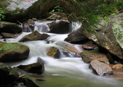
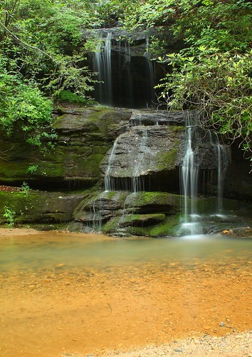
longexposure white water creek nc moss rocks stream northcarolina flowing cascade naturephotography polkcounty mosscovered pearsonsfalls davidhopkinsphotography ncpedia
Cascading Water
longexposure trees waterfall nc rocks whitewater northcarolina saluda naturephotography polkcounty ndfilter naturesfinest pearsonsfalls davidhopkinsphotography ncpedia
Pearson's Falls
Pearson Lower New Trail - Read Description
longexposure trees waterfall nc rocks whitewater northcarolina saluda naturephotography polkcounty ndfilter pearsonsfalls davidhopkinsphotography ncpedia
Pearson's Falls-through the Trees
thedreamrocket internationalfibercollaborative saturnvrocket space nasa astronaut conservation aliens twintowers health family diversity glitter christmas newyork nova art environment clean trees water trash planting green people cancer group equality paint flag elementary school home humans agriculture mountain save leader unitedstatesofamerica facebook felt kentucky washington olympic peace presidentobama stars community global kids express explore discover war animal abuse racism religious intolerance
Sugarloaf Elementary School, Hendersonville, NC
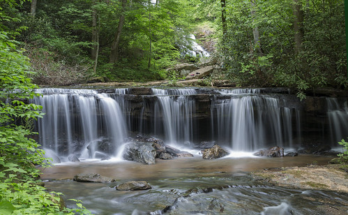
longexposure pool waterfall nc moss rocks northcarolina cascade naturephotography polkcounty bigbradleyfalls davidhopkinsphotography ncpedia
Just a Trickle
sunset summer woman sun girl silhouette evening nc nikon child daughter silhouettes sigma bubbles blowing hendersonville bubble brianna setting wnc d300 105mm
Into the Evening Air
nikond50 d50 blue nikonstunninggallery geotagged geo:lat=352373563 geo:lon=826007325 wall catchycolors 500px flickrart portfolio
blue cliche wall with window
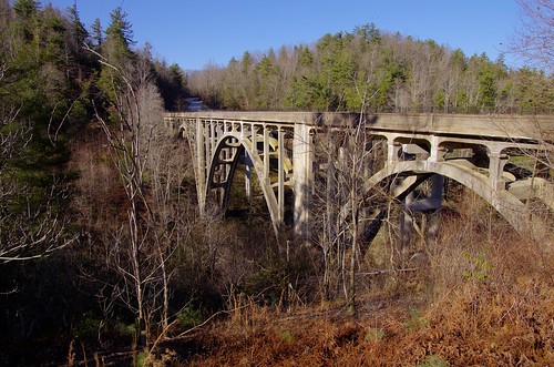
county nc henderson highbridge greenrivergorge abandonedbridge trusseddeckarch
High Bridge (Side View)
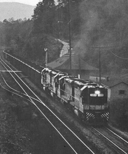
northcarolina trains railroads saluda southernrailway depots
Belmont Coal Train Passing Saluda Depot, 1967
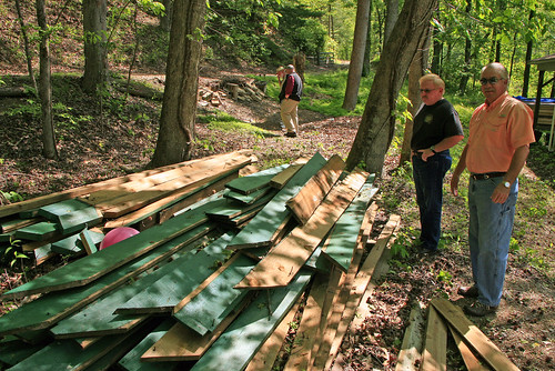
history coistaffreunion2012 rhmvriderralphcoicampoldindianstaffreunionboathouseboyscoutsofamericablueridgecouncilbsa attakullakullalodge185campscoutsscoutingsc
Once-staff members Dean Mayer and Mark Bailey view the remnants of The Boathouse, the waterfront-staff cabin where they once spent their summers on staff..
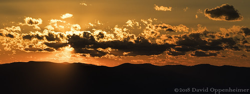
jacksoncounty northcarolina realestate property land aerial clouds landscape travel view spring sunshine orange mountainline blueridgemountains appalachianmountainssunset appalachianmountains blueridgemountainssunset mountains wnc westernnorthcarolina silhouette unitedstates usa
Jackson County North Carolina Aerial Sunset
sunset summer woman sun amanda girl silhouette mom evening nc nikon child daughter mother silhouettes sigma bubbles blowing hendersonville bubble brianna setting wnc d300 105mm
Dusk and Summer
cameraphone camera eye break phone looking view floor sink legs room ground spoon down surface wash dishes phones iview iphone fromaphonesiview
Wash Your Own Dishes, Don NOT Let Them Pile Up in the Sink!
waterfall falls pearsons pearsonsfalls
Pearson's Falls in HDR
saluda north carolina the south blue ridge mountains pacolet river water stream hike hiking outdoor landscape woods forest
Gentle North Pacolet
nature water river outdoors us waterfall unitedstates outdoor cleveland scenic southcarolina cascade augphotoimagery
Poinsett Cascade
north pacolet river saluda carolina the south water forest woods hike hiking outdoor landscape
North Pacolet River II
blackandwhite anseladams lowkey sooc square landscape iphoneart iphone hipstamatic monochrome bw
Sunrise Tryon
old bridge water stone river outdoors us arch unitedstates cleveland southcarolina augphotoimagery
Poinsett Flow
trees blur nature water landscape landscapes waterfall rocks northcarolina waterblur saluda waterflow westernnorthcarolina flowingwater littlebradleyfalls nikonflickraward
Little Bradley Falls (Saluda, North Carolina)
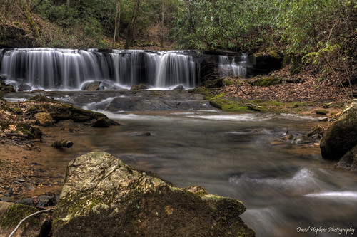
longexposure mountains water creek waterfall nc rocks stream northcarolina saluda wnc polkcounty westernnorthcarolina pearsonsfalls waterfallphotography davidhopkinsphotography
Below the Falls
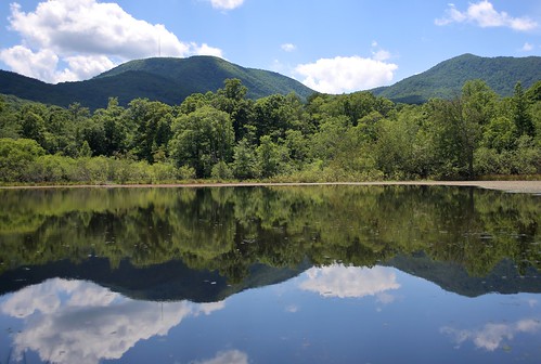
canon 6d 2255mm nature landscape water reflection mountain mountains forest clouds sky eos
Vaughn Gap and Hogback Mountain
snow clouds overcast landscape scenic rural northcarolina
The Guarded Way
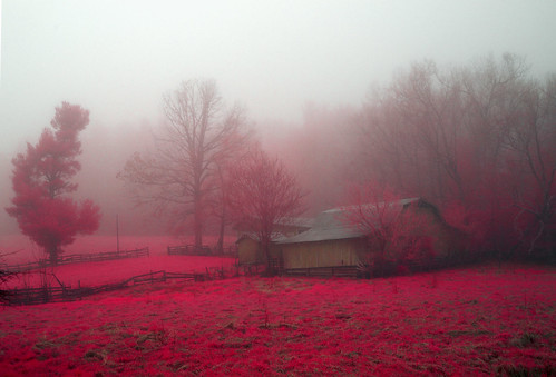
trees mist grass fog barn rural landscape spring nebel farm northcarolina infrared
Mountain Magenta
park usa geotagged nc unitedstates map northcarolina hendersonville greenspace flatrock themeadows wnc parkmap westernnorthcarolina publicpark hendersoncounty hendersonvillenc flatrocknorthcarolina flatrocknc kingcreek conceptualmap nikonsigma hendersonvillenorthcarolina oldgolfcourse hendersoncountync hendersoncountynorthcarolina dyecreek theparkatflatrock highlandlakegolfclub preliminarymap geo:lat=3529175697 geo:lon=8243640125
The Park At Flat Rock (Flat Rock, North Carolina)
postprocessed forest woods unitedstates path northcarolina trail splitrail saluda pearsonstrail
Pearson's Trail
longexposure trees summer usa motion blur green nature water leaves rock creek forest river landscape geotagged outdoors photography landscapes waterfall nc nikon scenery rocks stream slow unitedstates natural outdoor scenic northcarolina falls foliage motionblur waterfalls riverbed slowshutter carolina serene flowing mountainside polarizer sevenfalls basslake silky cpl watercourse circularpolarizer frenchbroadriver d800 fstop waterflow wnc rrs etowah naturesfinest westernnorthcarolina flowingwater etowahnc gorelake nikond800 fstopbag littlewillowcreek reallyrightstufftripod smilky fstoploka etowahnorthcarolina pleasantgrovechurchroad sevenfallsetowah sevenfallsetowahnc geo:lat=3528269177 geo:lon=8259793997
Seven Falls (Etowah, North Carolina)
fog mist autumn northcarolina trees landscape rural
Road to Nowhere
flower hendersonville zennia
Field of Zinnias Under a Very Cloudy Sky
light amazing jumpoffrock nc daveallen laurelpark frost ice winter landscape trees tree frozen frozenlandscape outdoors nature cold nikon d700 1735mm singleexposure northcarolina carolina blueridgemountains nikond700 dramaticsky hendersonville photography westernnorthcarolina platinumpeaceaward mygearandmeplatinum platinumheartaward eveninglight hendersonvillenc icytrees frosty icecold backlighting backlight backlit sunlight crystals winterlandscape mygearandmediamond artistoftheyearlevel6 hoarfrost
Jump Off Rock Hendersonville NC in Amazing Light - Luminous
1870 c
Pearson Falls
trees nature water landscape landscapes waterfall rocks northcarolina saluda waterflow westernnorthcarolina flowingwater littlebradleyfalls
Little Bradley Falls (Saluda, North Carolina)
Pearson's Falls