Elevation of Target, Dana Dr, Redding, CA, USA
Location: United States > California > Shasta County > Redding > Enterprise >
Longitude: -122.34811
Latitude: 40.5864267
Elevation: -10000m / -32808feet
Barometric Pressure: 295KPa
Elevation Map:
Satellite Map:
Related Photos:

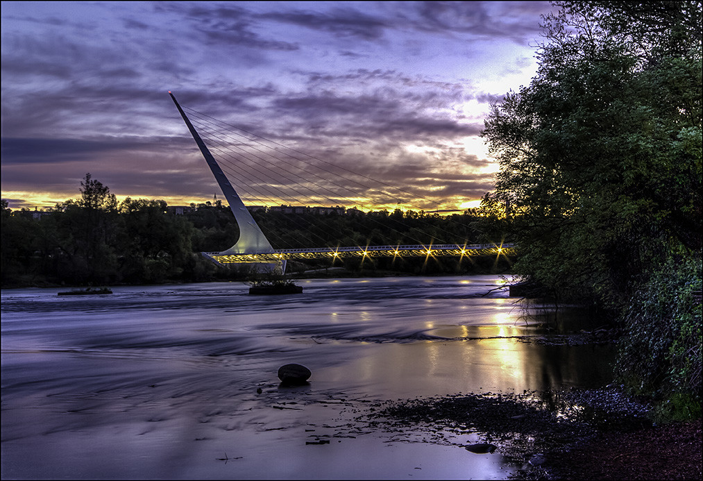
Sundial Bridge, Redding

Sundial Bridge at Turtle Bay (II)

Self Portrait - 3
Sundial in Blue

Sundial Bridge at Turtle Bay

Self Portrait - 2

Self Portrait - 1

Shasta Dam Overlook 1533
Calatrava's Sundial Bridge, Redding, California

Girl By Bridges

Clouds in the Sky Clouds on the Ground

Cliff Swallow Redding 1991 7
Mt. Shasta

Mt. Shasta

Sundial Bridge at Turtle Bay Exploration Park facing north view in Redding, California.

Sundial Bridge at Turtle Bay Exploration Park facing Sacramento River east view in Redding, California.

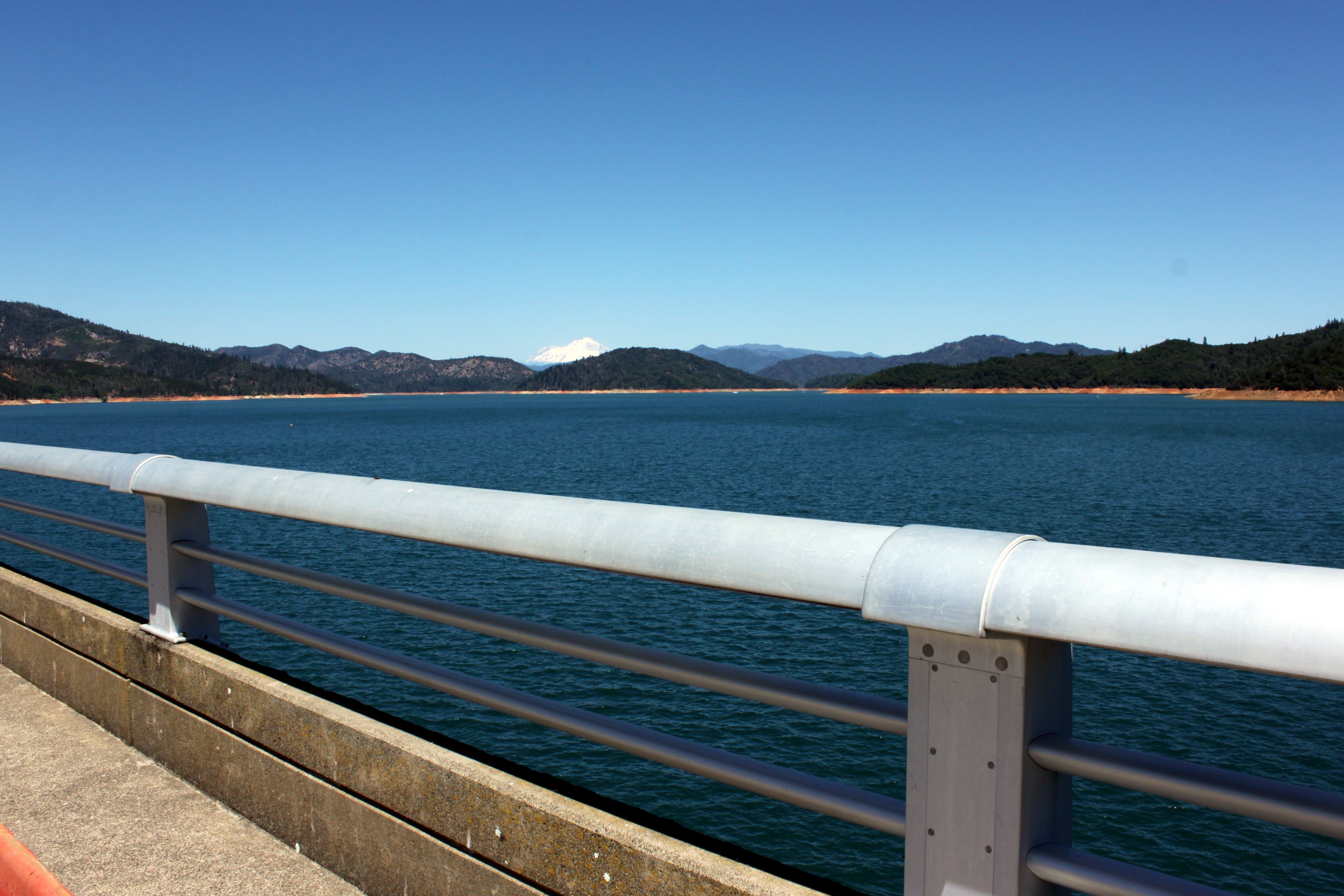
Sacramento River - Redding, CA

Sundial Bridge at Turtle Bay Exploration Park facing north view in Redding, California.

Sundial Bridge at Turtle Bay Exploration Park facing southeast view in Redding, California.

FOOTBALL SEASON ON THE LOWER SACRAMENTO RIVER

California Winter

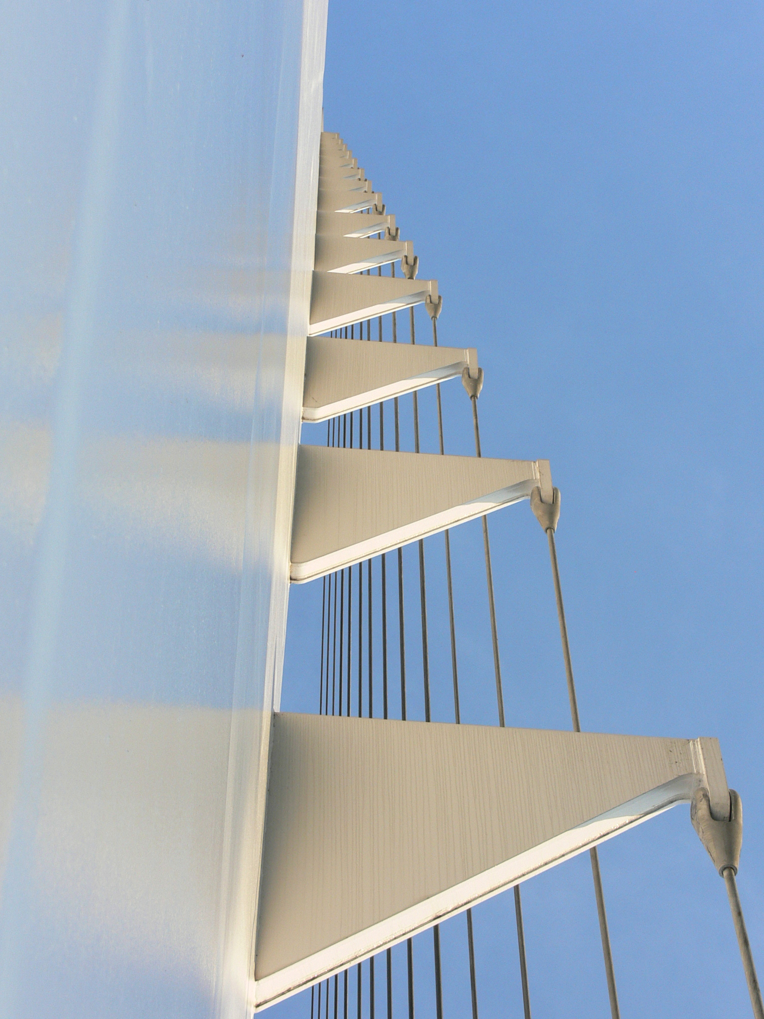
Structure of a Bridge

Almost there

Shasta Dam last night 3 miles from home... second day July 24th, two days before CarrFire

171124 Black Friday gold-001J

Delta Fire 2018

Lights/abstract

Birds Barely Awake (p)
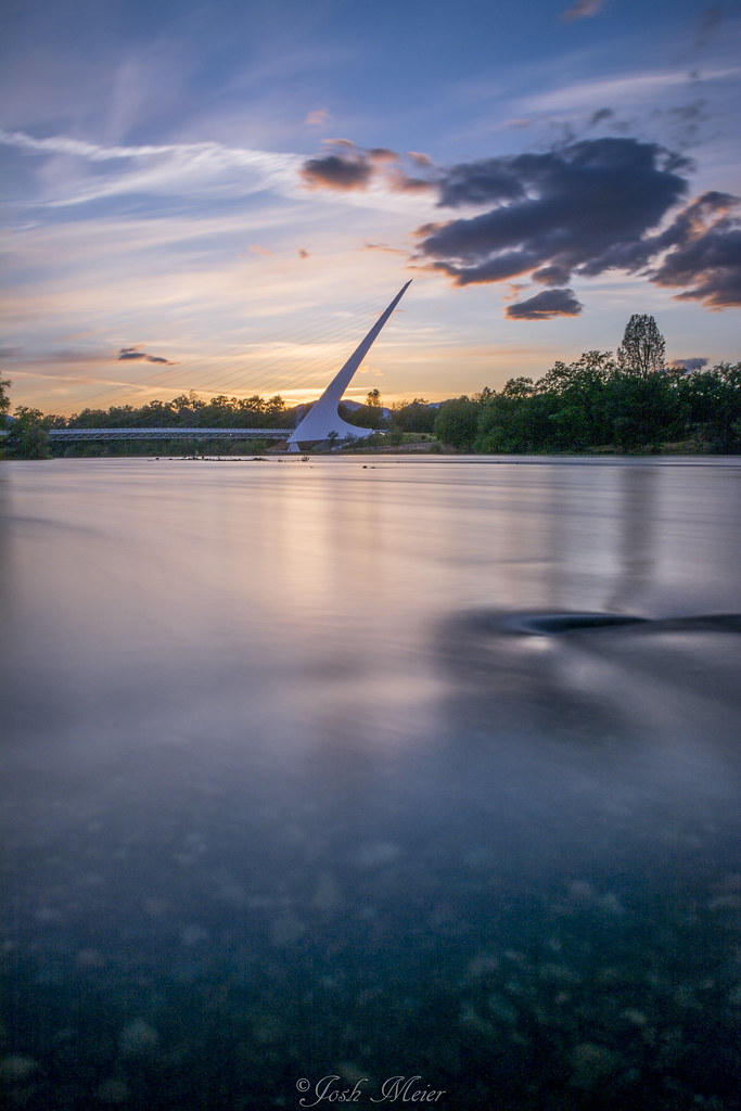
Sundial Bridge

Tree silhouette

Whiskeytown Lake Sunset [04.02.13]

Last Light

six rivers national forest

sundial sunbeams

Early Light

Heaven Came Down

Birds in the Sunset

Sunset over Sacramento River

Unexpected Shot

Shasta Dam Boulevard [03.28.13]

Red Along a River
Topographic Map of Target, Dana Dr, Redding, CA, USA
Find elevation by address:

Places near Target, Dana Dr, Redding, CA, USA:
1280 Dana Dr
Mount Shasta Mall
2105 Churn Creek Rd
870 Mission Sierra Ct
815 Browning St
362 Springer Dr
2160 Larkspur Ln
Towneplace Suites By Marriott Redding
851 Mission De Oro Dr
Tanglewood
Tanglewood Village
874 Tanglewood Dr
Hilltop
Enterprise
1221 E Cypress Ave
2475 Beverly Dr
500 Hilltop Dr
Bluffs
2071 Paris Ave
3600 Park Marina Dr
Recent Searches:
- Elevation of Corso Fratelli Cairoli, 35, Macerata MC, Italy
- Elevation of Tallevast Rd, Sarasota, FL, USA
- Elevation of 4th St E, Sonoma, CA, USA
- Elevation of Black Hollow Rd, Pennsdale, PA, USA
- Elevation of Oakland Ave, Williamsport, PA, USA
- Elevation of Pedrógão Grande, Portugal
- Elevation of Klee Dr, Martinsburg, WV, USA
- Elevation of Via Roma, Pieranica CR, Italy
- Elevation of Tavkvetili Mountain, Georgia
- Elevation of Hartfords Bluff Cir, Mt Pleasant, SC, USA