Elevation of Taraganj Upazila, Bangladesh
Location: Bangladesh > Rangpur Division > Rangpur District >
Longitude: 89.0370477
Latitude: 25.7780177
Elevation: 41m / 135feet
Barometric Pressure: 101KPa
Elevation Map:
Satellite Map:
Related Photos:
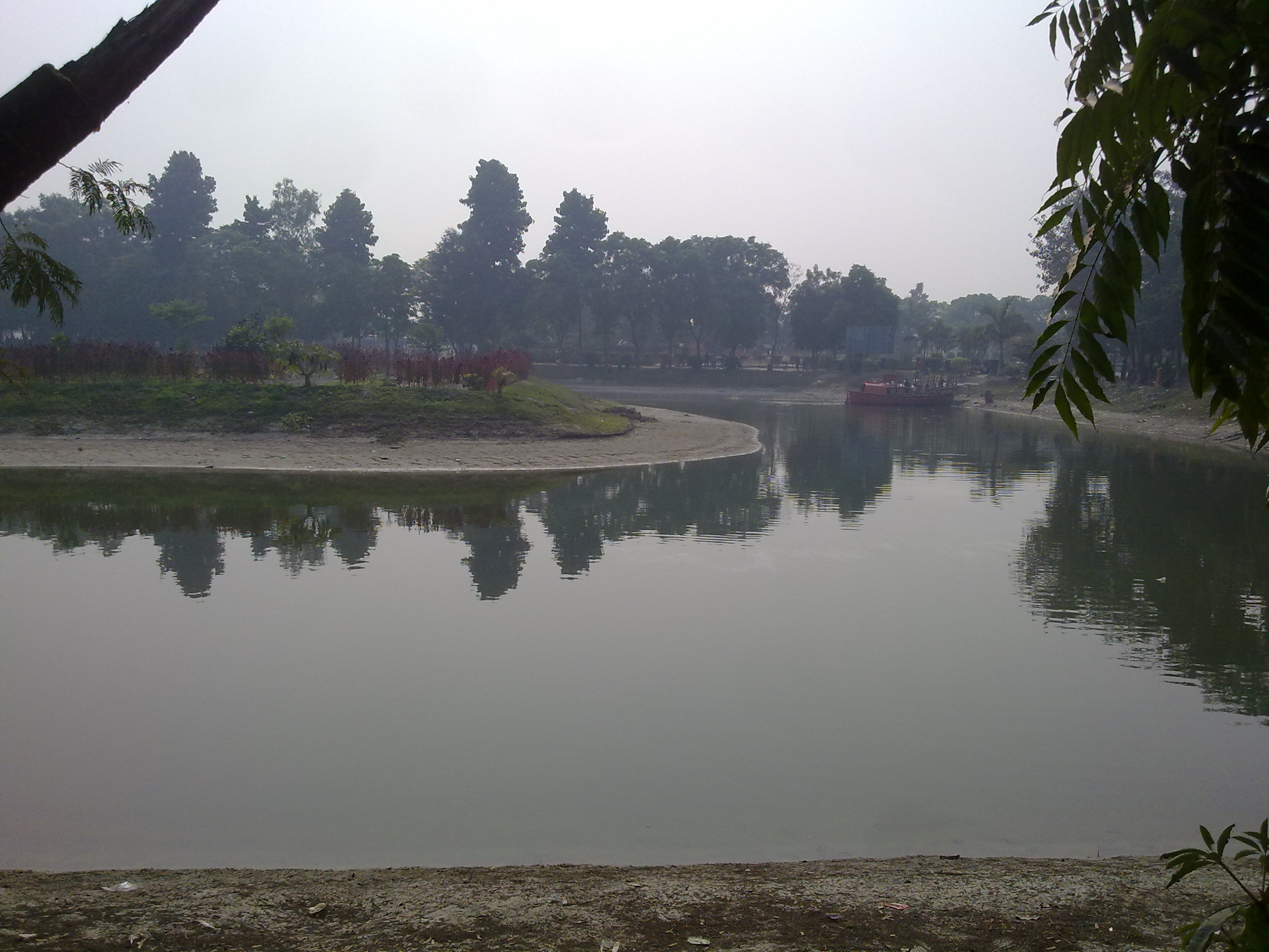
Vinno Jogot,picnic spot,Rangpur,Bangladesh
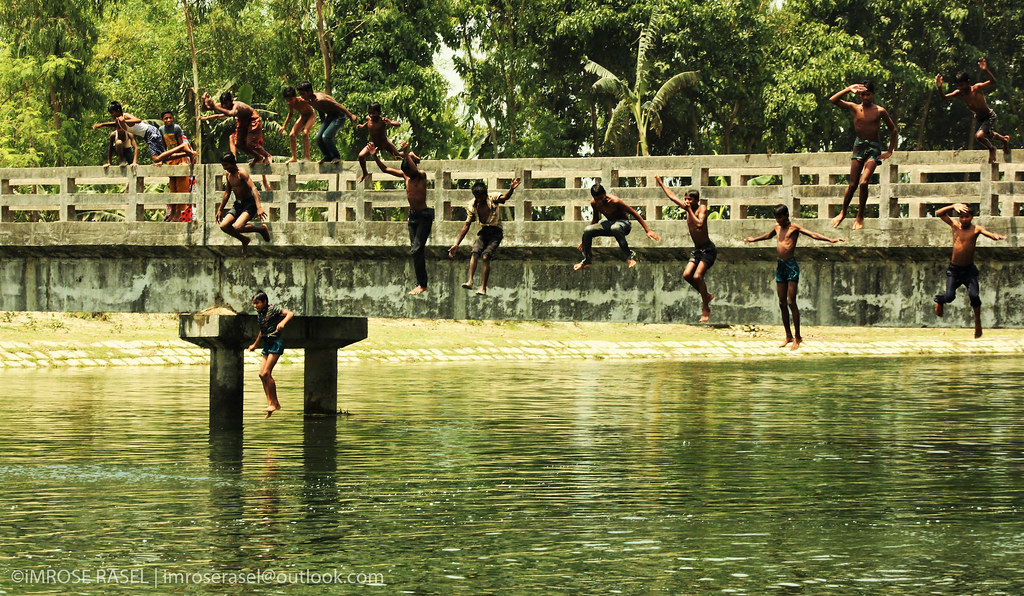
Boundless Childhood

20131023_172547-EDT.jpg

Sunset time

IMG_7841-4

6 (2)

9 (2)

4 (3)

#worktravels ✈️

#aarong #saina #eidmubarak #eid #daughter #lovefamily #babygirl #Bangladesh #rangpur

I certainly know why like this airport but I am not going to tell you that... This tiny airport always makes my happy; whenever I get assignments in the north and client covers my flight, I just can't wait to land here. It's not that there are many facil

#saina with #fupi

cricket on holiday

eid 2014

EID >> Happiness

the Beach MODE

Saidpur Offrs Mess

mY fOOT :p

Vinno Jagot,picnic spot,Rangpur,Bangladesh
Topographic Map of Taraganj Upazila, Bangladesh
Find elevation by address:

Places near Taraganj Upazila, Bangladesh:
Gangachara Upazila
Nilphamari District
Rangpur Division
Kishoreganj Upazila
Badarganj
Saidpur
Saidpur Upazila
Parbatipur
Rangpur Sadar Upazila
Rangpur District
Lalbag
Rangpur
Jaldhaka Upazila
Nilphamari
Nilphamari Sadar Upazila
Kakina
Chirirbandar
Phulbari Upazila
Kaliganj Upazila
Lalmonirhat District
Recent Searches:
- Elevation of Corso Fratelli Cairoli, 35, Macerata MC, Italy
- Elevation of Tallevast Rd, Sarasota, FL, USA
- Elevation of 4th St E, Sonoma, CA, USA
- Elevation of Black Hollow Rd, Pennsdale, PA, USA
- Elevation of Oakland Ave, Williamsport, PA, USA
- Elevation of Pedrógão Grande, Portugal
- Elevation of Klee Dr, Martinsburg, WV, USA
- Elevation of Via Roma, Pieranica CR, Italy
- Elevation of Tavkvetili Mountain, Georgia
- Elevation of Hartfords Bluff Cir, Mt Pleasant, SC, USA