Elevation of Kishoreganj Upazila, Bangladesh
Location: Bangladesh > Rangpur Division > Nilphamari District >
Longitude: 89.0227048
Latitude: 25.9023526
Elevation: 45m / 148feet
Barometric Pressure: 101KPa
Elevation Map:
Satellite Map:
Related Photos:
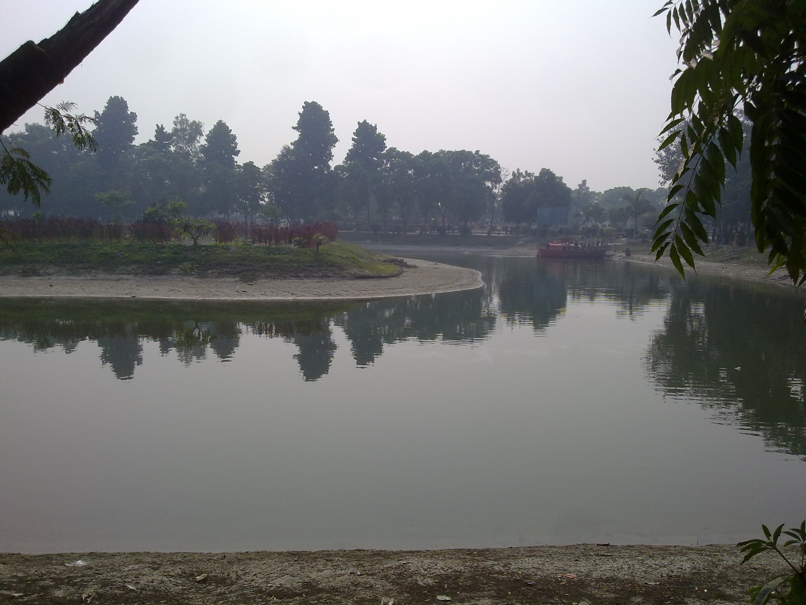
Vinno Jogot,picnic spot,Rangpur,Bangladesh

????⚡️???? #Reposting @triplenickel555 with @instarepost_app -- sliding through #theomega #corsamotoclassica 2016 @willow_springs_raceway through the lens of @fabfernandez #imalwaysracinginmymind not at @roadamerica with my #racingfamily thi

Boundless Childhood

Vinno Jagot,picnic spot,Rangpur,Bangladesh
Topographic Map of Kishoreganj Upazila, Bangladesh
Find elevation by address:

Places near Kishoreganj Upazila, Bangladesh:
Rangpur Division
Nilphamari District
Jaldhaka Upazila
Gangachara Upazila
Taraganj Upazila
Saidpur
Saidpur Upazila
Nilphamari
Nilphamari Sadar Upazila
Kakina
Nowdabash
Kaliganj Upazila
Dimla
Badarganj
Hatibanda
Hatibandha Upazila
Rangpur Sadar Upazila
Dimla Upazila
Parbatipur
Rangpur District
Recent Searches:
- Elevation of Corso Fratelli Cairoli, 35, Macerata MC, Italy
- Elevation of Tallevast Rd, Sarasota, FL, USA
- Elevation of 4th St E, Sonoma, CA, USA
- Elevation of Black Hollow Rd, Pennsdale, PA, USA
- Elevation of Oakland Ave, Williamsport, PA, USA
- Elevation of Pedrógão Grande, Portugal
- Elevation of Klee Dr, Martinsburg, WV, USA
- Elevation of Via Roma, Pieranica CR, Italy
- Elevation of Tavkvetili Mountain, Georgia
- Elevation of Hartfords Bluff Cir, Mt Pleasant, SC, USA