Elevation of Tamms, IL, USA
Location: United States > Illinois > Alexander County > Tamms Precinct >
Longitude: -89.270081
Latitude: 37.23505
Elevation: 104m / 341feet
Barometric Pressure: 100KPa
Elevation Map:
Satellite Map:
Related Photos:

Eastern Bluebird

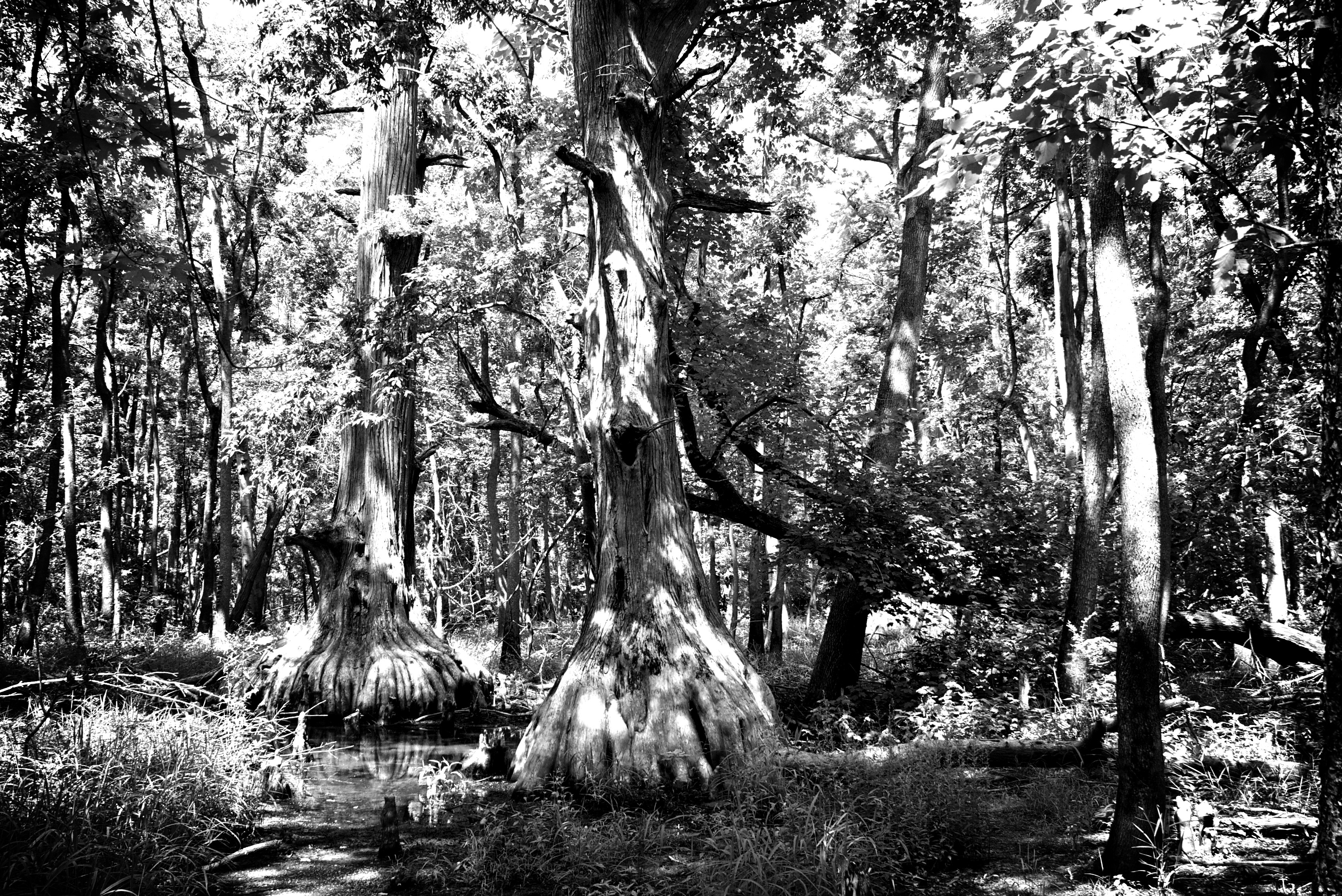
Cypress Trees - Horseshoe Lake State Fish & Wildlife Area

Dry and frozen forest/Floresta seca e congelada
Tamms, IL
Tour de Shawnee

IMG_9101-482

IMG_9090-467

Sexton Creek Wetlands

IMG_9062-461

IMG_9077-490

Thrift and Vintage

Tamms 450 HDR
TDF/2 Stage 14

IMG_9070-471

IMG_9088-466

Entrance - IMG_9064

Carwash -IMG_9099-481

KJ0A1449-1

KJ0A1495-1

KJ0A1506-1

KJ0A1437-1

KJ0A1417-1

KJ0A1425-1
Topographic Map of Tamms, IL, USA
Find elevation by address:

Places in Tamms, IL, USA:
Places near Tamms, IL, USA:
Front St, Tamms, IL, USA
125 Indiana St
Tamms Precinct
Bridge St, Tamms, IL, USA
Locust St, Ullin, IL, USA
Ullin
Olive Branch
Villa Ridge
High St, Mill Creek, IL, USA
Alexander County
Olive Branch Precinct
Ullin
Old U.S. 51, Mounds, IL, USA
Mounds Precinct
Pulaski County
39 Mayberry Ln
Mounds
1st St, Mounds, IL, USA
1401 Mounds Rd
IL-3, Cairo, IL, USA
Recent Searches:
- Elevation of Corso Fratelli Cairoli, 35, Macerata MC, Italy
- Elevation of Tallevast Rd, Sarasota, FL, USA
- Elevation of 4th St E, Sonoma, CA, USA
- Elevation of Black Hollow Rd, Pennsdale, PA, USA
- Elevation of Oakland Ave, Williamsport, PA, USA
- Elevation of Pedrógão Grande, Portugal
- Elevation of Klee Dr, Martinsburg, WV, USA
- Elevation of Via Roma, Pieranica CR, Italy
- Elevation of Tavkvetili Mountain, Georgia
- Elevation of Hartfords Bluff Cir, Mt Pleasant, SC, USA