Elevation of Bridge St, Tamms, IL, USA
Location: United States > Illinois > Alexander County > Tamms Precinct > Tamms >
Longitude: -89.26612
Latitude: 37.3011667
Elevation: 115m / 377feet
Barometric Pressure: 100KPa
Elevation Map:
Satellite Map:
Related Photos:

Eastern Bluebird

waiting for dusk

Sun Bathing

Three Sisters

RoadTrip 201206070034

IMG_9090-467

Tamms, IL

Tour de Shawnee

IMG_9101-482

Sexton Creek Wetlands

IMG_9062-461

IMG_9077-490

Dock On Dongola Lake

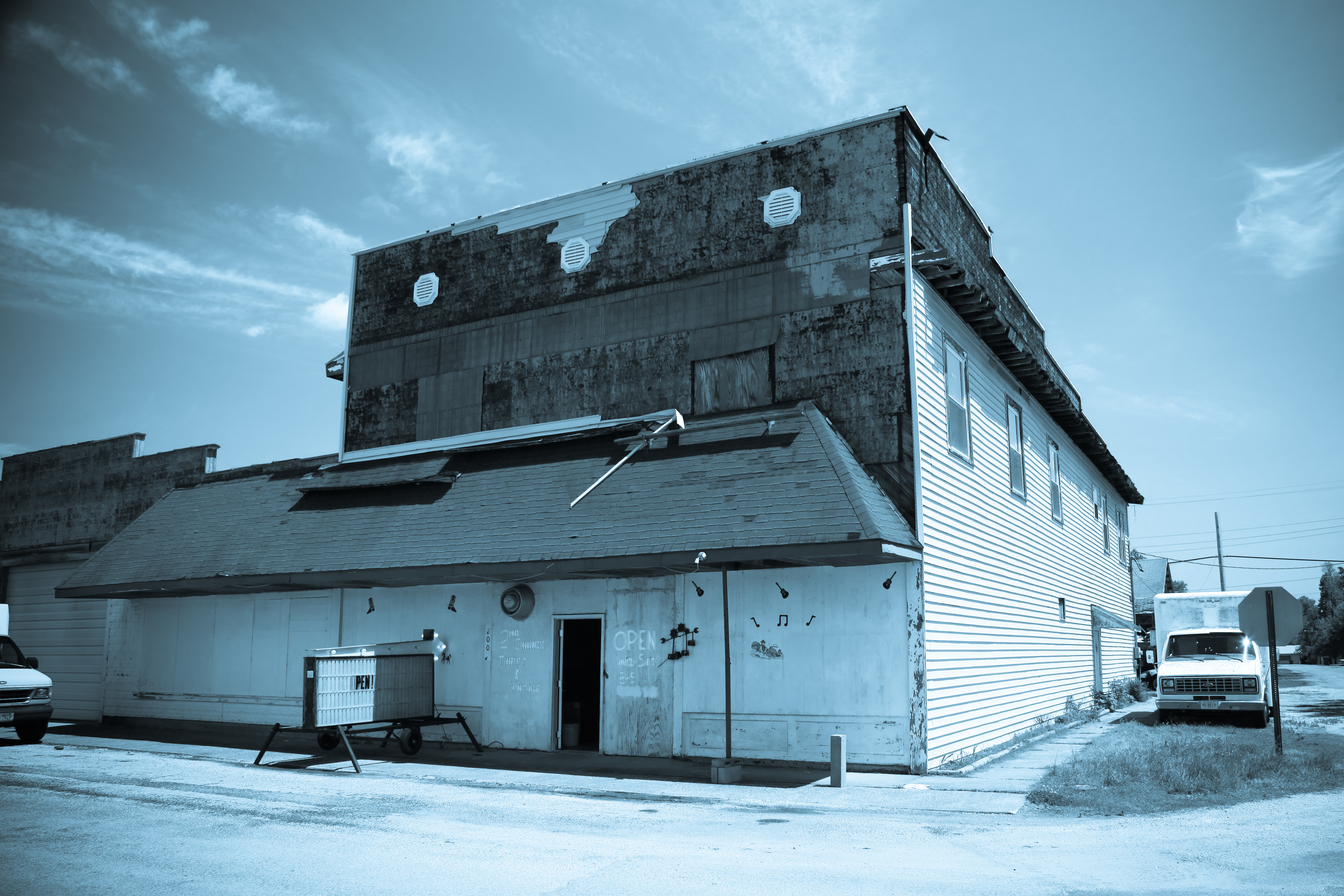
Thrift and Vintage

Tamms 450 HDR
IMG_9070-471

IMG_9088-466

Entrance - IMG_9064

Carwash -IMG_9099-481
Topographic Map of Bridge St, Tamms, IL, USA
Find elevation by address:

Places near Bridge St, Tamms, IL, USA:
High St, Mill Creek, IL, USA
Tamms Precinct
125 Indiana St
Front St, Tamms, IL, USA
Tamms
Locust St, Ullin, IL, USA
Ullin
39 Mayberry Ln
Dongola
SE Front St, Dongola, IL, USA
Ullin
Illinois 127
Pulaski County
Williford Road
143 Williford Rd
Jonesboro
N Main St, Jonesboro, IL, USA
230 Cates Ln
300 Freeman St
Olive Branch
Recent Searches:
- Elevation of Corso Fratelli Cairoli, 35, Macerata MC, Italy
- Elevation of Tallevast Rd, Sarasota, FL, USA
- Elevation of 4th St E, Sonoma, CA, USA
- Elevation of Black Hollow Rd, Pennsdale, PA, USA
- Elevation of Oakland Ave, Williamsport, PA, USA
- Elevation of Pedrógão Grande, Portugal
- Elevation of Klee Dr, Martinsburg, WV, USA
- Elevation of Via Roma, Pieranica CR, Italy
- Elevation of Tavkvetili Mountain, Georgia
- Elevation of Hartfords Bluff Cir, Mt Pleasant, SC, USA