Elevation of Talleyrand, KS, USA
Location: United States > Kansas > Wilson County >
Longitude: -95.793200
Latitude: 37.4330696
Elevation: 287m / 942feet
Barometric Pressure: 98KPa
Elevation Map:
Satellite Map:
Related Photos:
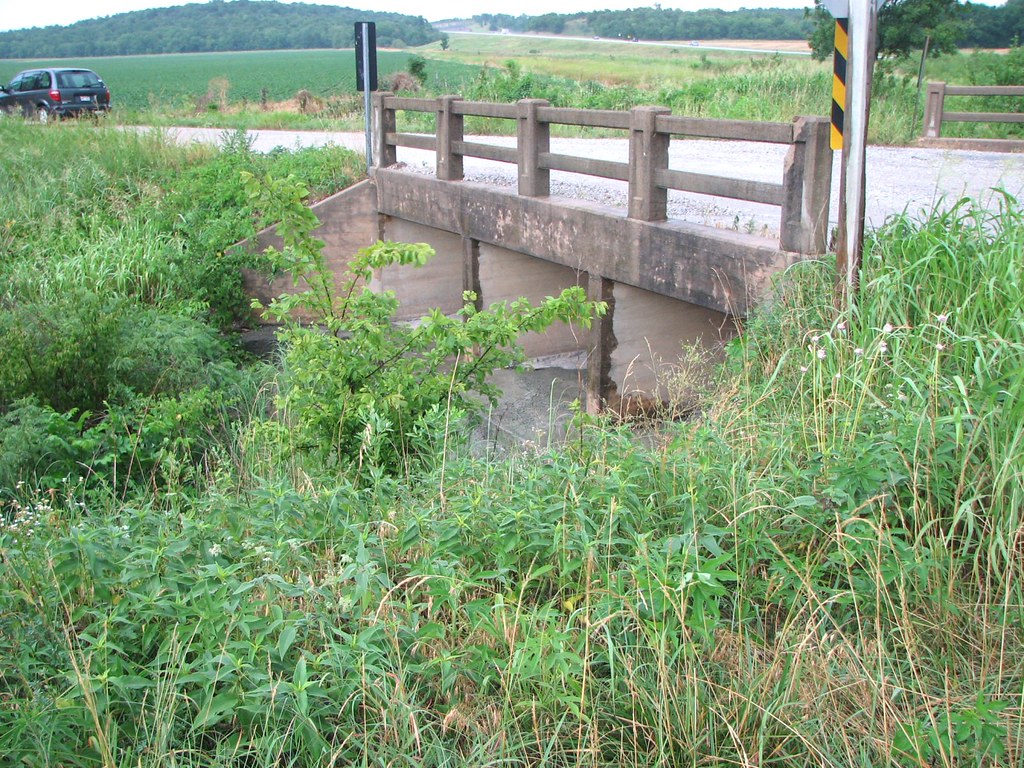
Side View: Branch of Fall Creek

Wind Mill on Highway 47

Wind Mill on Highway 47

Wind Mill on Highway 47

Grain Elevator at Fredonia

Grain Elevator at Fredonia
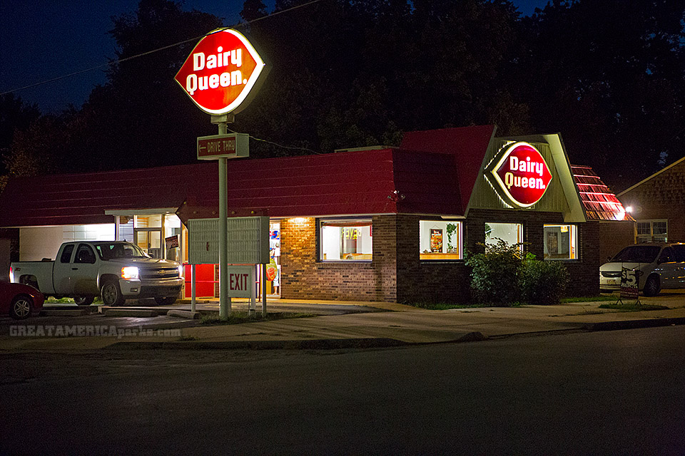
Dairy Queen

Wind Mill on Highway 47

Grain Elevator at Fredonia

Training on the new AgEagle rx60! #drones
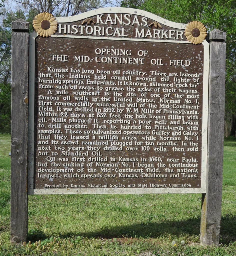
Opening of the Mid-Continent Oil Field Marker (Neodesha, Kansas)
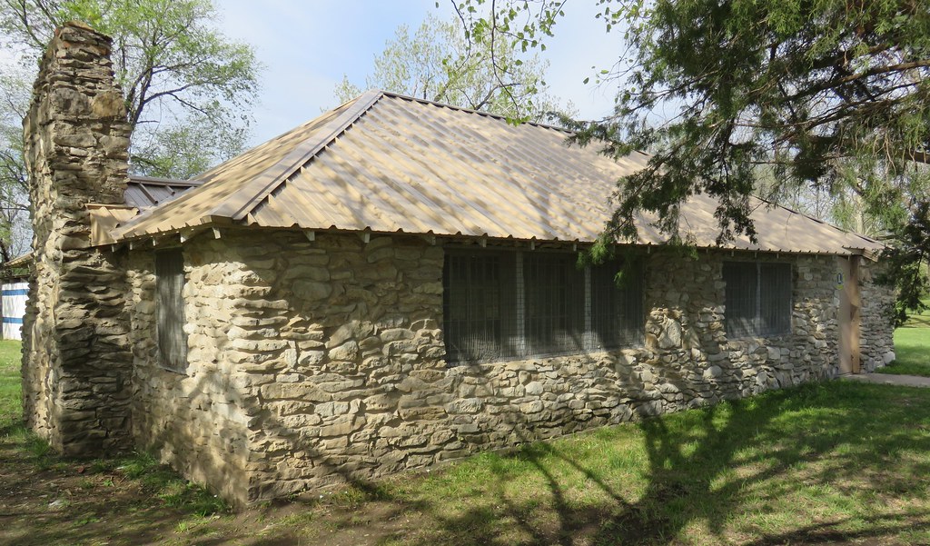
Lions Club Building (Neodesha, Kansas)

Merry Christmas

tractor needs tires
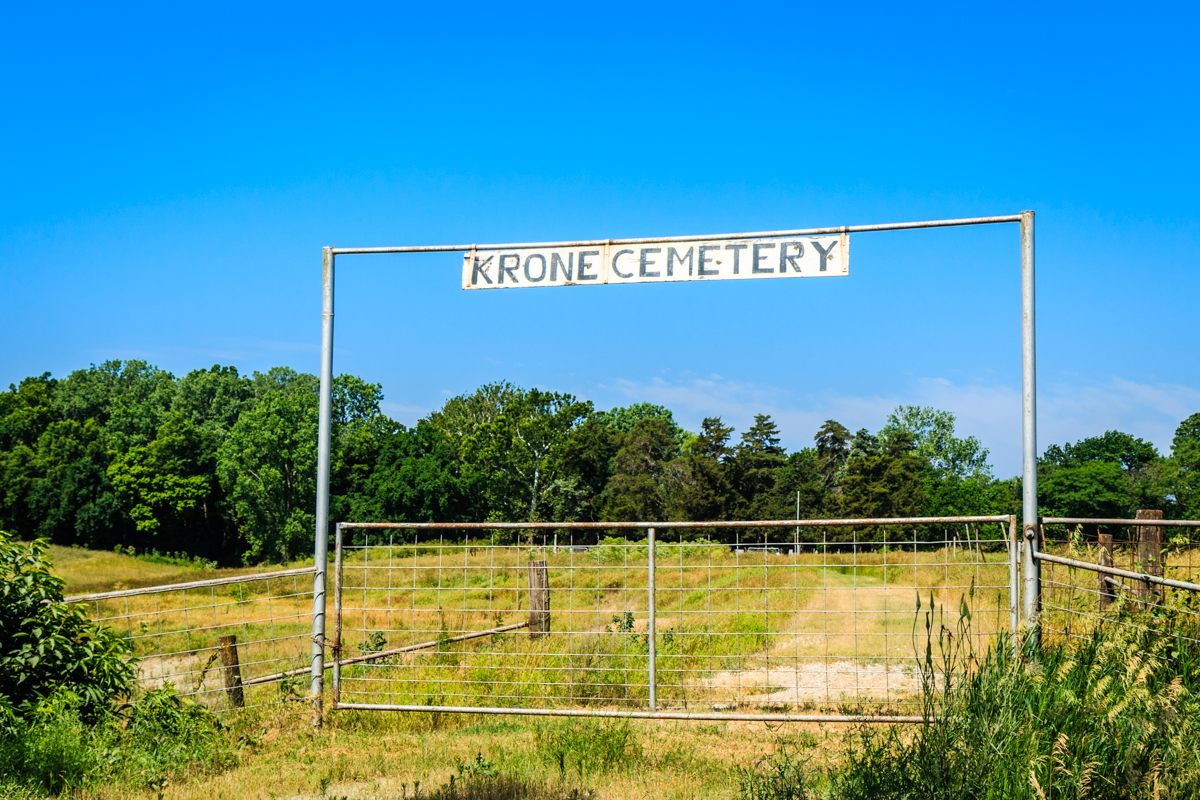
Krone Cemetery

GMC truck

United Methodist Church Sycamore Kansas

• the key to all locks •
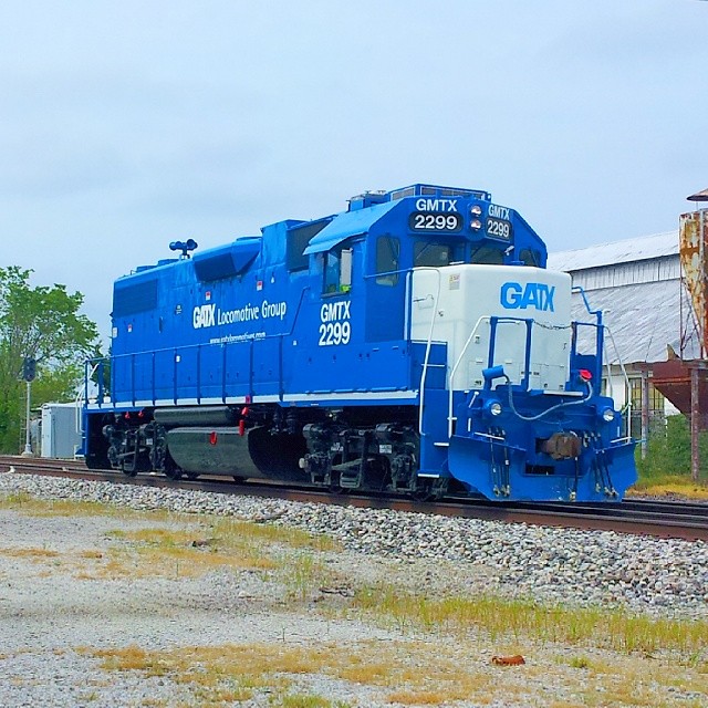
#GMTX 2299 on the #UP #LostSpringsSub in #Neodosho
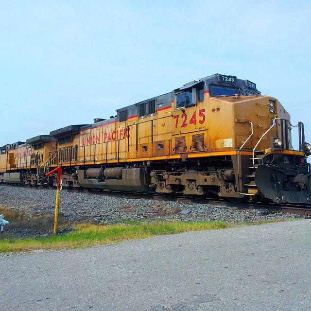
#UnionPacific nb empty coal on the #LostSpringsSub at #Neodosho #Kansas
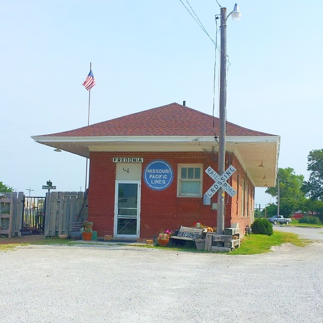
#MP #Mopac #MissouriPacific

Wind Mill on Highway 47

Wind Mill on Highway 47
Topographic Map of Talleyrand, KS, USA
Find elevation by address:

Places in Talleyrand, KS, USA:
Places near Talleyrand, KS, USA:
Short St, Fredonia, KS, USA
Center
9519 Marion Rd
Fredonia Rotary Park
Fredonia Junior Senior High School
233 N 16th St
310 Washington St
310 Washington St
303 Washington St
103 S 2nd St
N 7th St, Fredonia, KS, USA
Fredonia
The Edge
329 N 3rd St
103 Jefferson St
310 Madison St
G & W Foods
Road To Recovery Llc
Fredonia Outdoor Equipment
Us Post Office
Recent Searches:
- Elevation of Corso Fratelli Cairoli, 35, Macerata MC, Italy
- Elevation of Tallevast Rd, Sarasota, FL, USA
- Elevation of 4th St E, Sonoma, CA, USA
- Elevation of Black Hollow Rd, Pennsdale, PA, USA
- Elevation of Oakland Ave, Williamsport, PA, USA
- Elevation of Pedrógão Grande, Portugal
- Elevation of Klee Dr, Martinsburg, WV, USA
- Elevation of Via Roma, Pieranica CR, Italy
- Elevation of Tavkvetili Mountain, Georgia
- Elevation of Hartfords Bluff Cir, Mt Pleasant, SC, USA