Elevation of Taliaferro County, GA, USA
Location: United States > Georgia >
Longitude: -82.885596
Latitude: 33.5697878
Elevation: 162m / 531feet
Barometric Pressure: 99KPa
Elevation Map:
Satellite Map:
Related Photos:

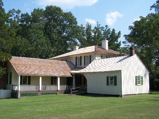
Liberty Hall, Home of Alexander H. Stephens
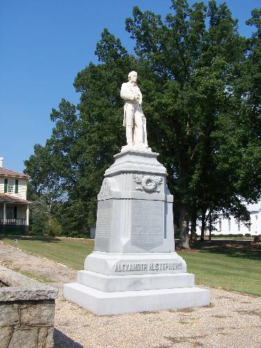
Alexander H. Stephens Statue

Rear View
Liberty Hall, Rear View
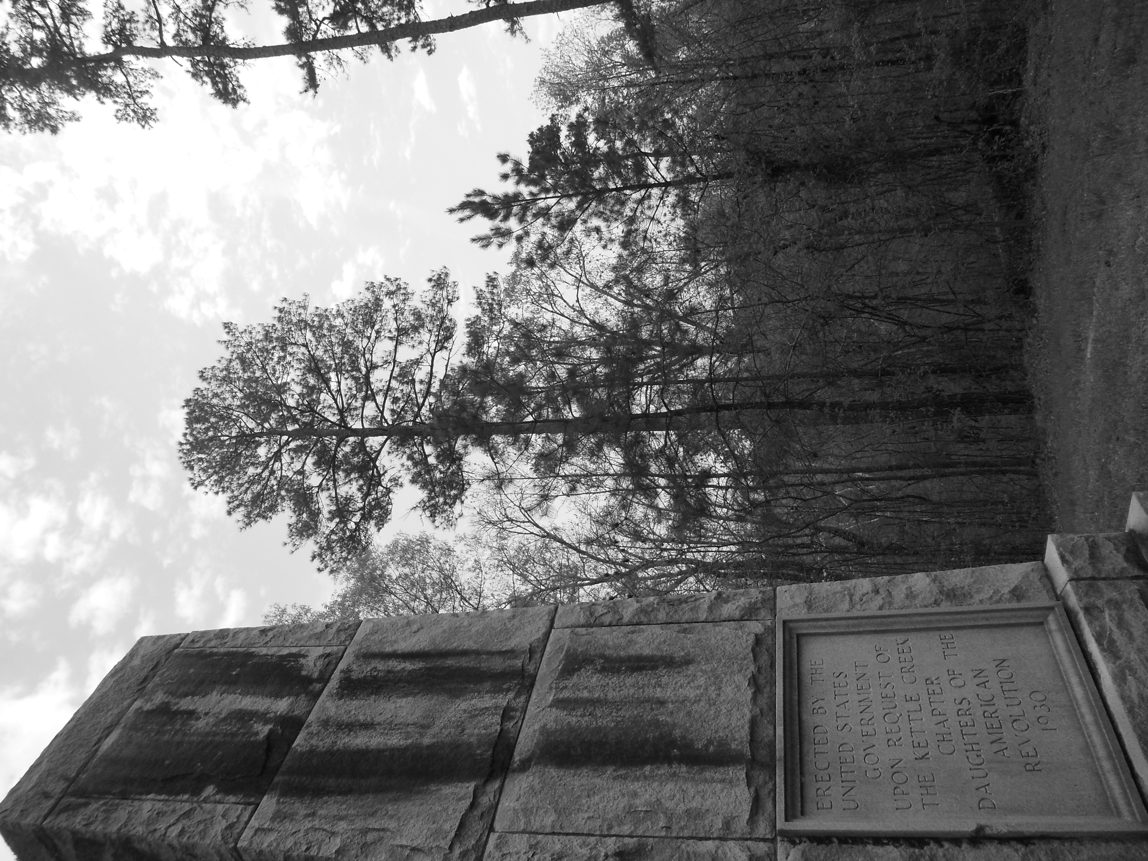
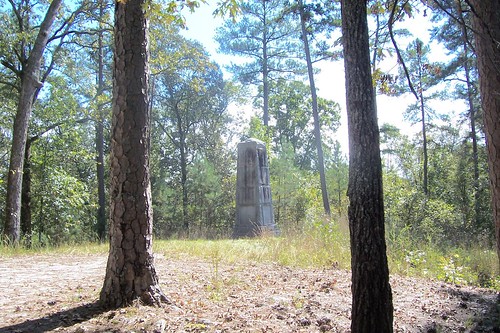
Kettle Creek Battlefield Memorial
Kettle Creek Battlefield Memorial
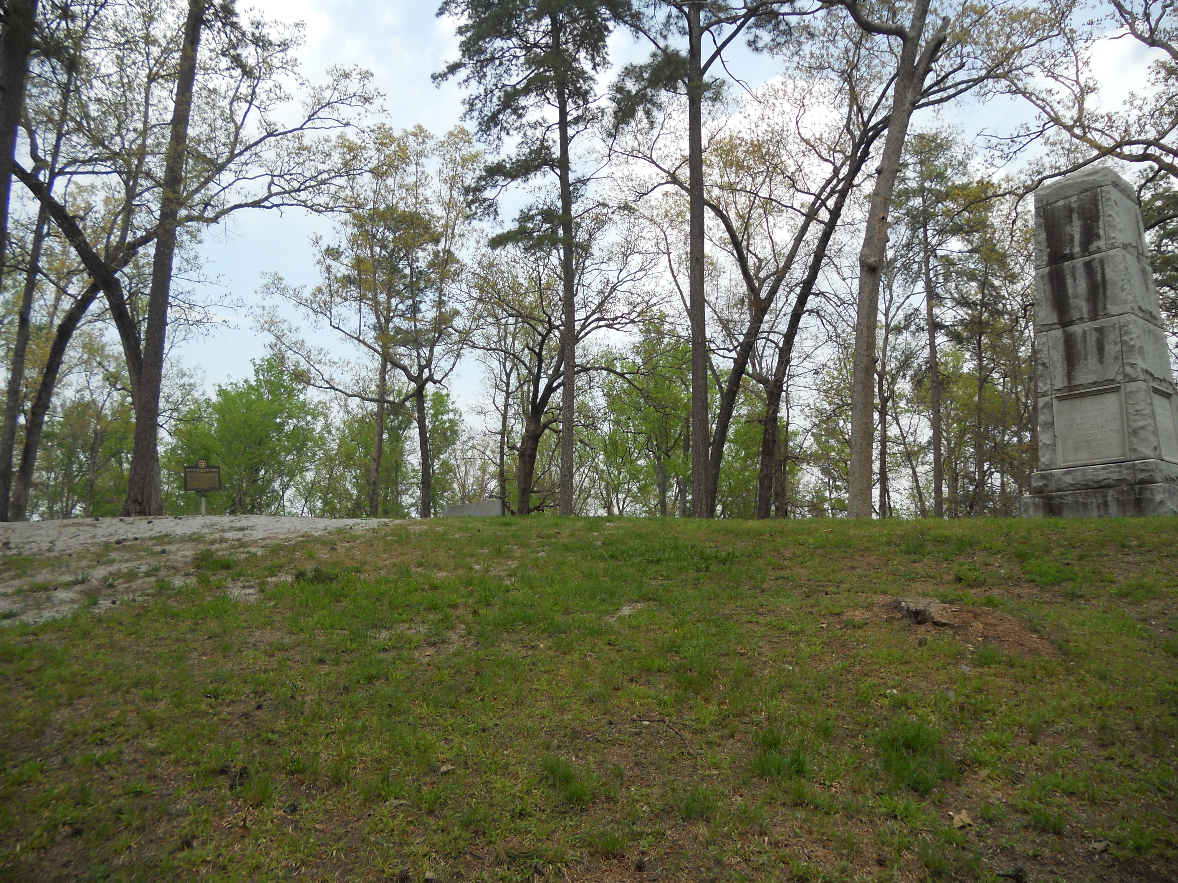
Kettle Creek Battlefield

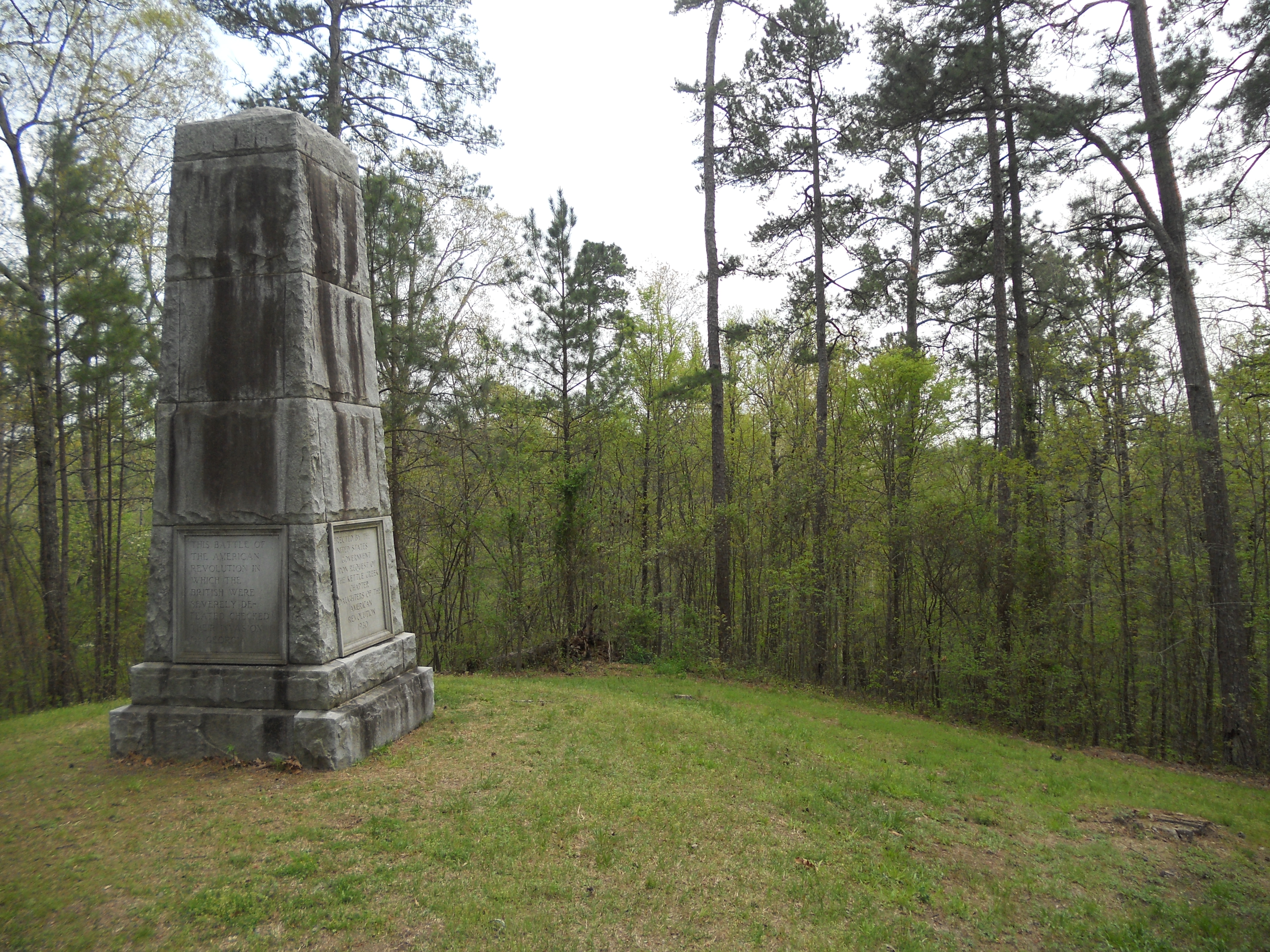
Kettle Creek Battlefield Memorial
Kettle Creek Battlefield

Day 350 - Twilight Sky and Prepping for the Geminid Shower
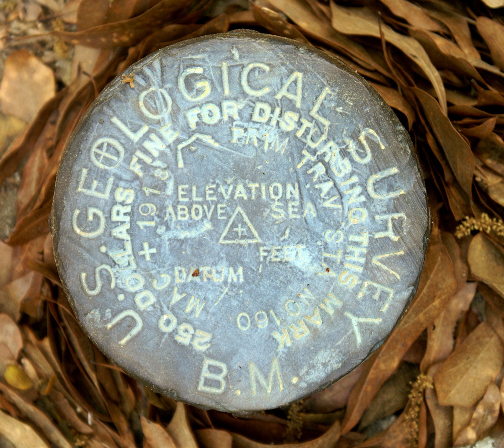
U. S. Geological Survey

Near White Plains, Georgia
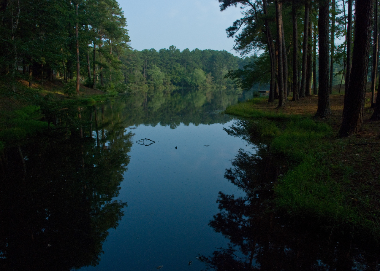
Beautiful lake
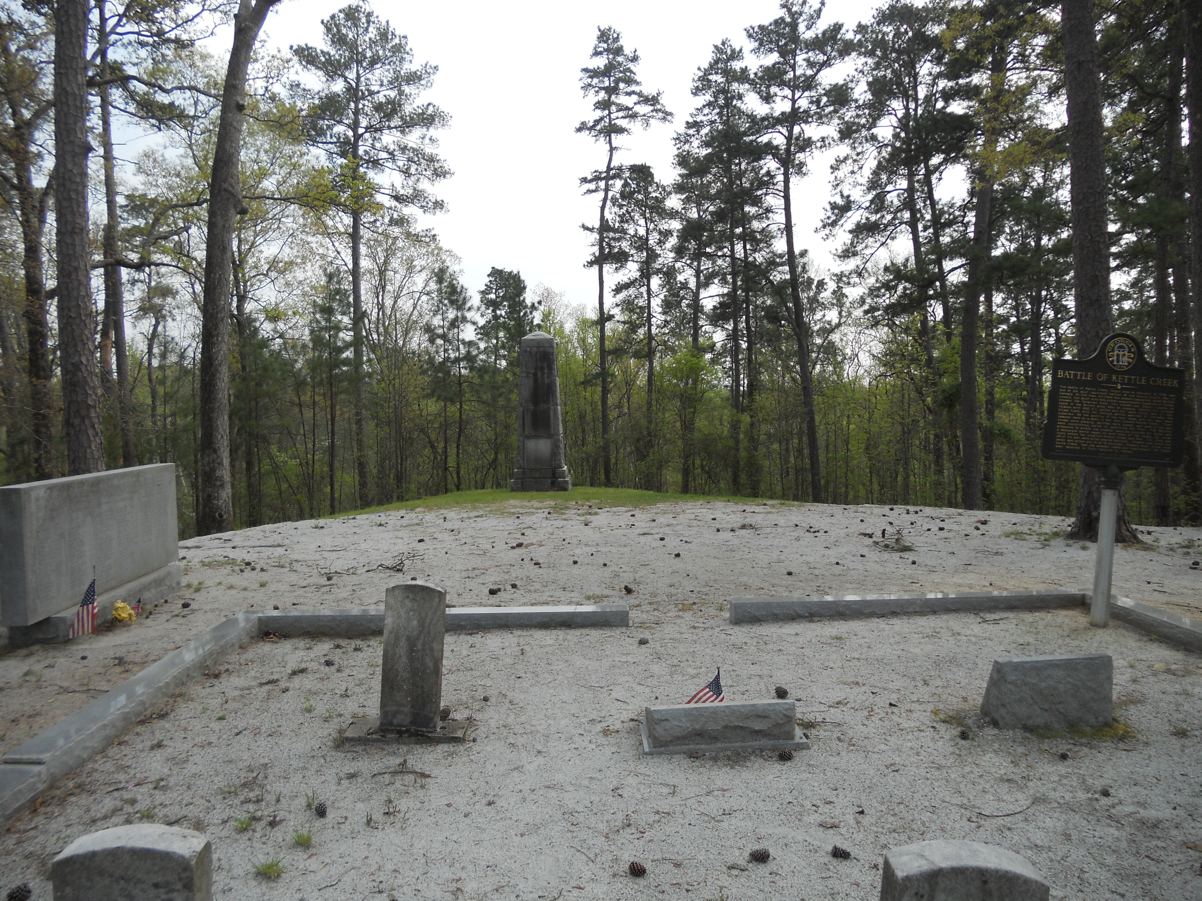
Battle of Kettle Creek, Wilkes County, GA
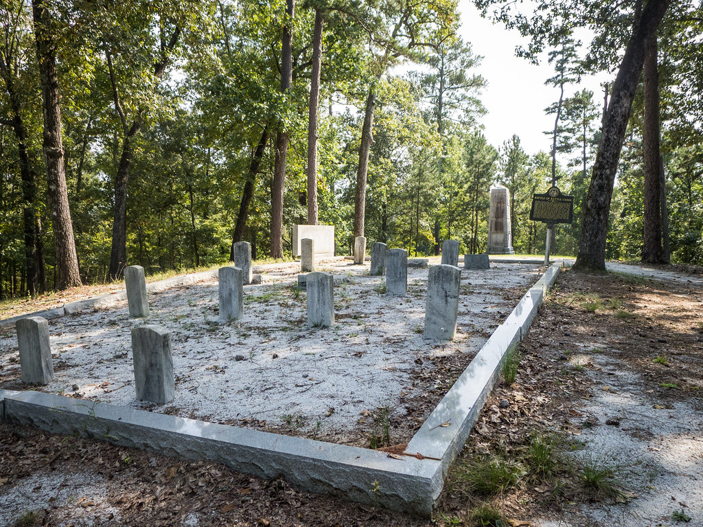
Kettle Creek Battlefield Cemetery
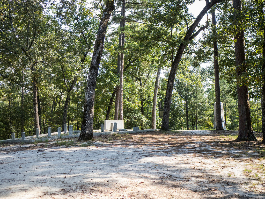
Kettle Creek Battlefield
Topographic Map of Taliaferro County, GA, USA
Find elevation by address:

Places in Taliaferro County, GA, USA:
Places near Taliaferro County, GA, USA:
A. H. Stephens State Park
Crawfordville
362 Hunting Club Rd Sw
196 Black Log Ln
374 Springfield Rd
Washington
Warren County
US-78, Washington, GA, USA
Camak
Washington Hwy, Warrenton, GA, USA
Warrenton
70 N Whitehead St
Thomson Rd, Washington, GA, USA
39 Ricketson Rd
2317 Mesena Rd
6071 Hamburg State Park Rd
3855 Washington Rd
Mcduffie County
Big Hart Campground Coe
Quaker Rd, Warrenton, GA, USA
Recent Searches:
- Elevation of Corso Fratelli Cairoli, 35, Macerata MC, Italy
- Elevation of Tallevast Rd, Sarasota, FL, USA
- Elevation of 4th St E, Sonoma, CA, USA
- Elevation of Black Hollow Rd, Pennsdale, PA, USA
- Elevation of Oakland Ave, Williamsport, PA, USA
- Elevation of Pedrógão Grande, Portugal
- Elevation of Klee Dr, Martinsburg, WV, USA
- Elevation of Via Roma, Pieranica CR, Italy
- Elevation of Tavkvetili Mountain, Georgia
- Elevation of Hartfords Bluff Cir, Mt Pleasant, SC, USA