Elevation of McDuffie County, GA, USA
Location: United States > Georgia >
Longitude: -82.518583
Latitude: 33.5258626
Elevation: 139m / 456feet
Barometric Pressure: 100KPa
Elevation Map:
Satellite Map:
Related Photos:

The Forgotten
0844 Thomas Watson Img_4896
0845 Thomas Watson Img_4897
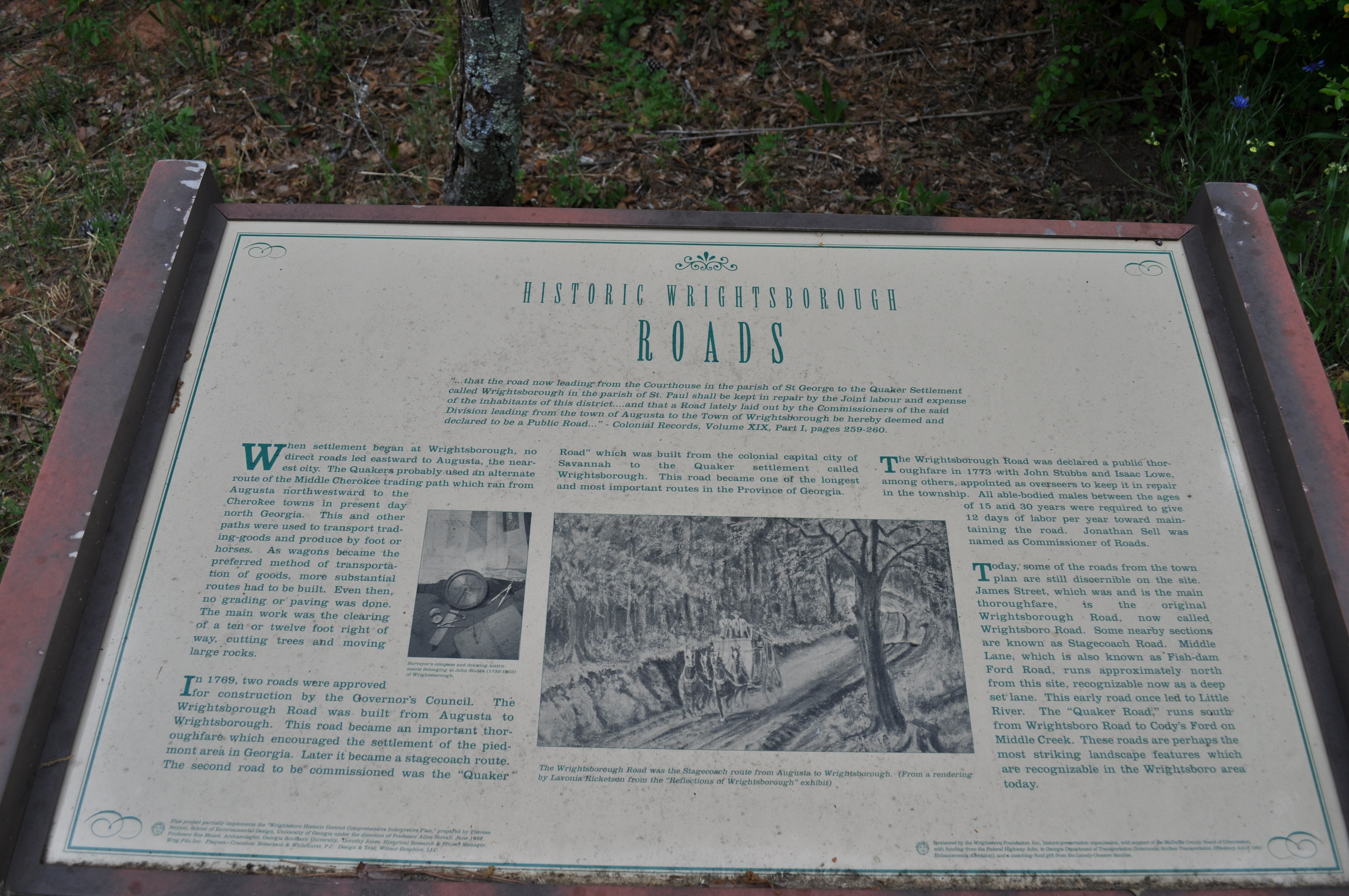
0583 Wrightsboro Img_4635

Jul. 4th 16-7085

Jul. 4th 16-7084

Jul. 4th 16-7083

Jul. 4th 16-7082

Jul. 4th 16-7081

Jul. 4th 16-7080

Jul. 4th 16-7079

Jul. 4th 16-7078

Jul. 4th 16-7068

Jul. 4th 16-7091

Tab Benoit at 2013's Blind Willie McTell Blues Festival
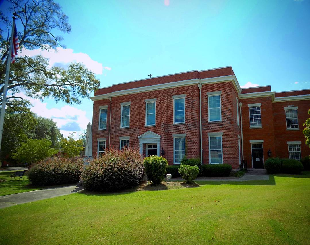
McDuffie County Courthouse Thomson GA #courthouse

Delta Airlines MD-88 at Augusta GA

Driving Away
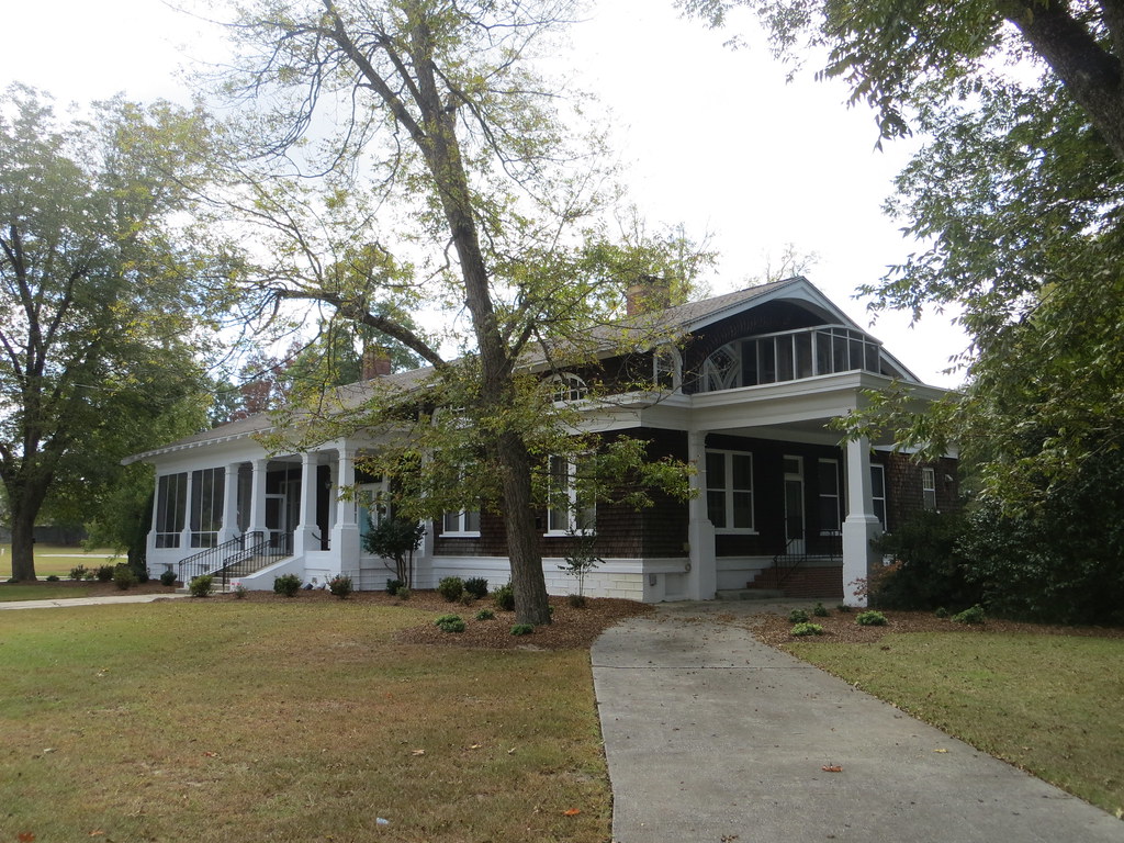
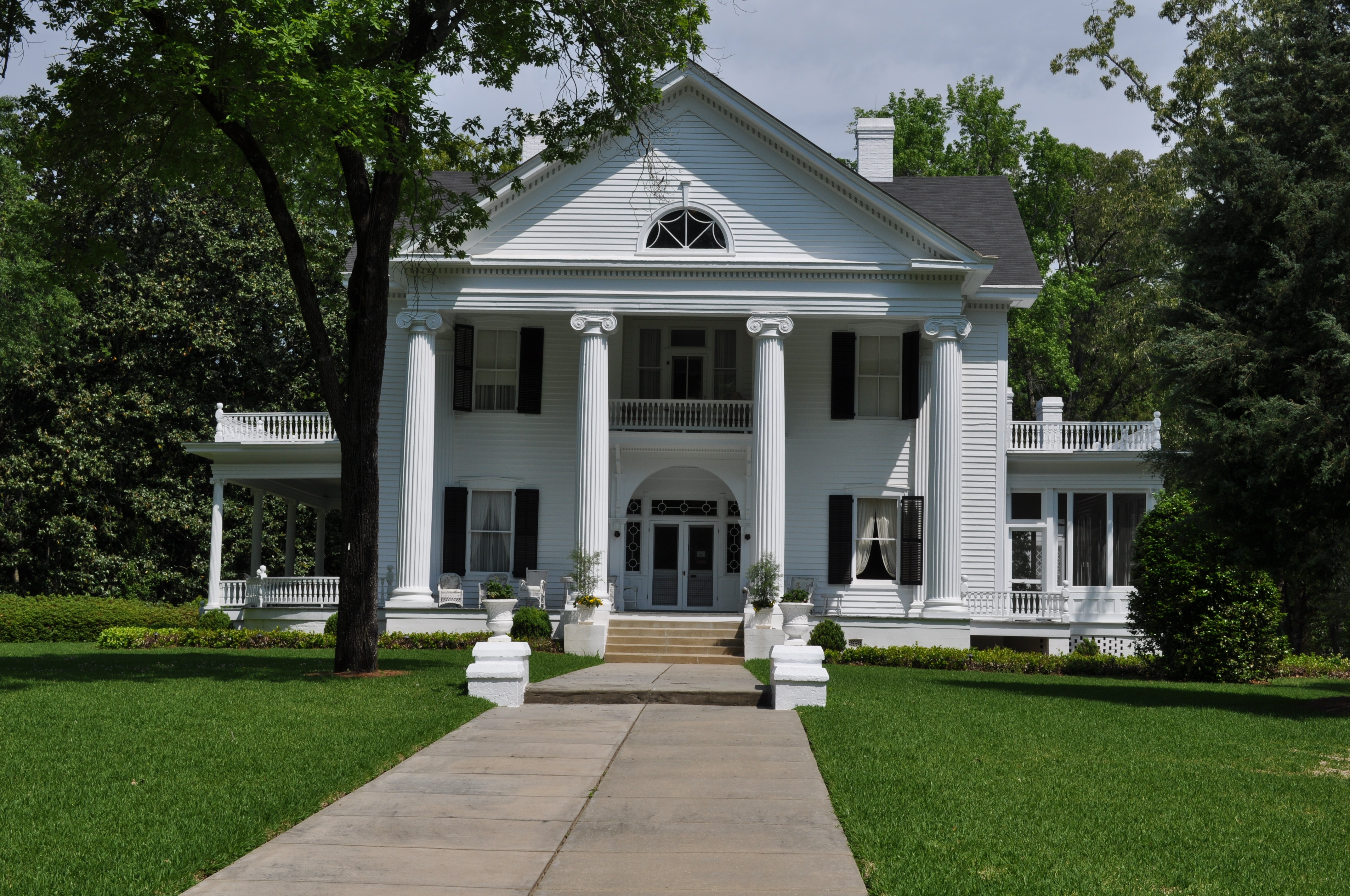
House 1A Thomson GA

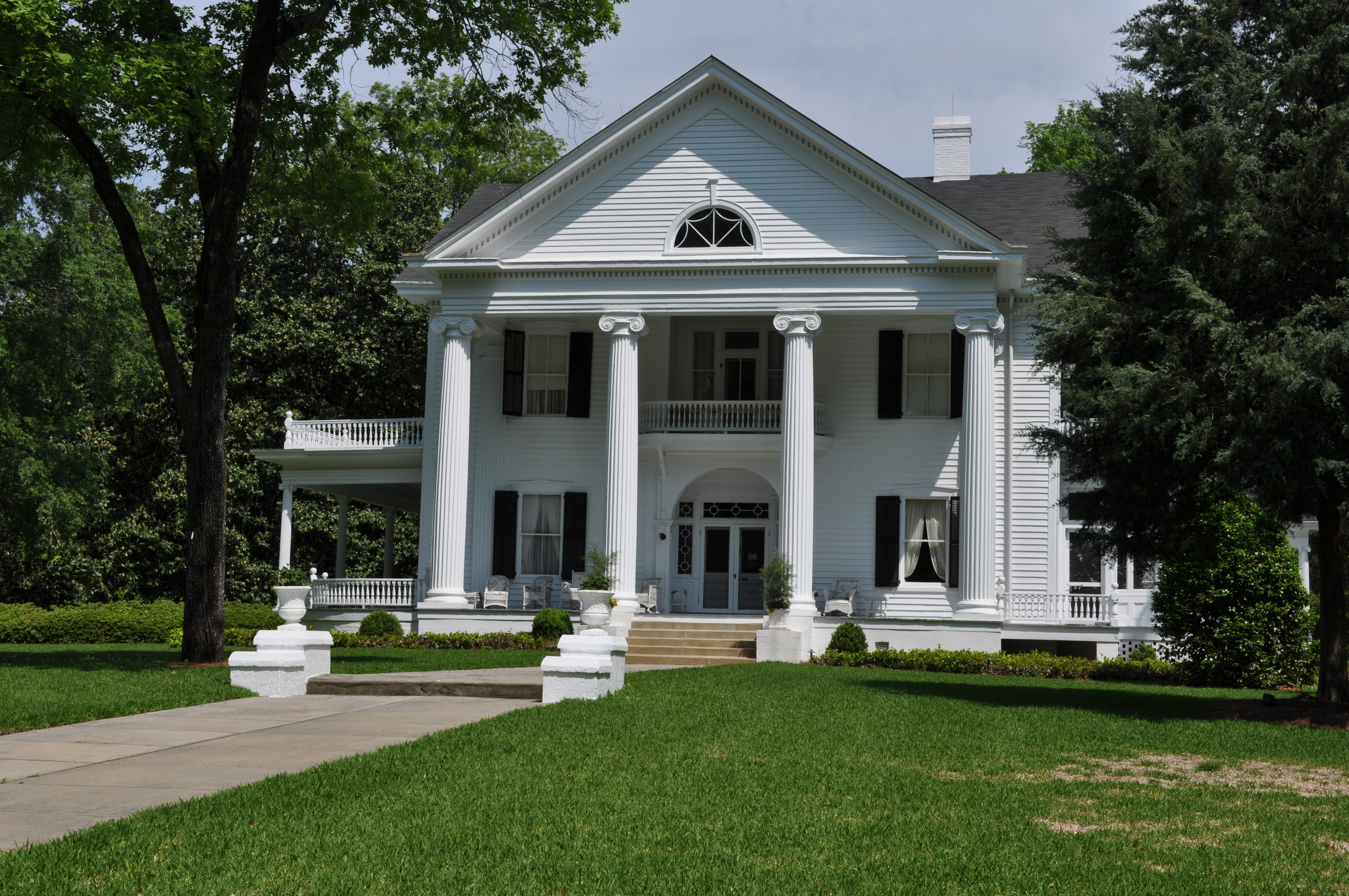
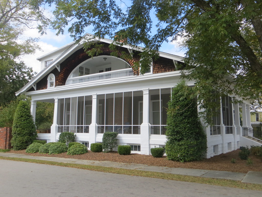
House 1B Thomson GA
House 1C Thomson GA

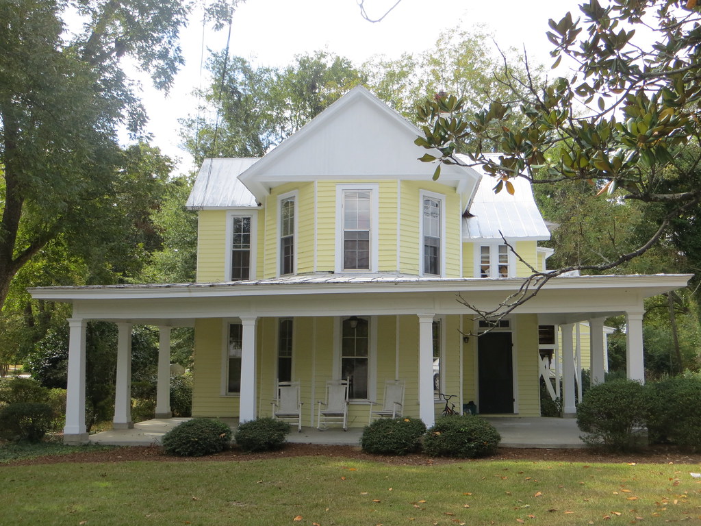
House 2A Thomson GA
House 2B Thomson GA

Georgia-Transmission Power

Me and Steph
Topographic Map of McDuffie County, GA, USA
Find elevation by address:

Places in McDuffie County, GA, USA:
Places near McDuffie County, GA, USA:
3855 Washington Rd
502 Hickory Hill Dr
Thomson
634 Wire Rd
2317 Mesena Rd
1497 Mt Pleasant Rd
1851 Salem Rd
492 Morris Pond Way
7107 Bill Dorn Rd
Dearing
Augusta Rd, Dearing, GA, USA
4323 Randall Hunt Rd
4323 Randall Rd
4016 Horsham Trail
1560 Appling Harlem Rd
Appling
Appling Harlem Rd, Appling, GA, USA
1579 Ray Owens Rd
1651 Swint Rd
101 Barnett Way
Recent Searches:
- Elevation of Corso Fratelli Cairoli, 35, Macerata MC, Italy
- Elevation of Tallevast Rd, Sarasota, FL, USA
- Elevation of 4th St E, Sonoma, CA, USA
- Elevation of Black Hollow Rd, Pennsdale, PA, USA
- Elevation of Oakland Ave, Williamsport, PA, USA
- Elevation of Pedrógão Grande, Portugal
- Elevation of Klee Dr, Martinsburg, WV, USA
- Elevation of Via Roma, Pieranica CR, Italy
- Elevation of Tavkvetili Mountain, Georgia
- Elevation of Hartfords Bluff Cir, Mt Pleasant, SC, USA