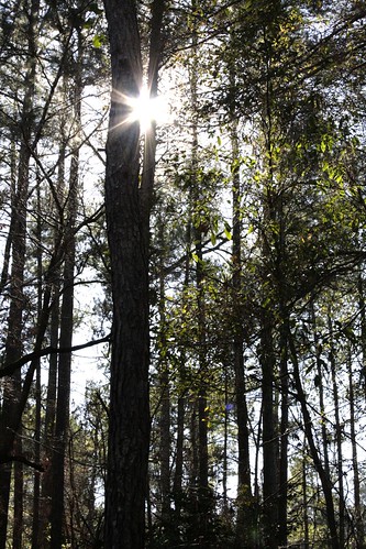
Elevation of Randall Hunt Rd, Dearing, GA, USA
Location: United States > Georgia > Dearing >
Longitude: -82.362653
Latitude: 33.4306048
Elevation: 136m / 446feet
Barometric Pressure: 100KPa
Related Photos:
Topographic Map of Randall Hunt Rd, Dearing, GA, USA
Find elevation by address:

Places near Randall Hunt Rd, Dearing, GA, USA:
4323 Randall Rd
Dearing
Augusta Rd, Dearing, GA, USA
4016 Horsham Trail
Harlem
1560 Appling Harlem Rd
492 Morris Pond Way
1579 Ray Owens Rd
7107 Bill Dorn Rd
1651 Swint Rd
1851 Salem Rd
Appling
Appling Harlem Rd, Appling, GA, USA
101 Barnett Way
Thomson
502 Hickory Hill Dr
634 Wire Rd
1497 Mt Pleasant Rd
Mcduffie County
2317 Mesena Rd
Recent Searches:
- Elevation of Corso Fratelli Cairoli, 35, Macerata MC, Italy
- Elevation of Tallevast Rd, Sarasota, FL, USA
- Elevation of 4th St E, Sonoma, CA, USA
- Elevation of Black Hollow Rd, Pennsdale, PA, USA
- Elevation of Oakland Ave, Williamsport, PA, USA
- Elevation of Pedrógão Grande, Portugal
- Elevation of Klee Dr, Martinsburg, WV, USA
- Elevation of Via Roma, Pieranica CR, Italy
- Elevation of Tavkvetili Mountain, Georgia
- Elevation of Hartfords Bluff Cir, Mt Pleasant, SC, USA
