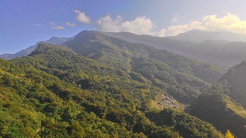
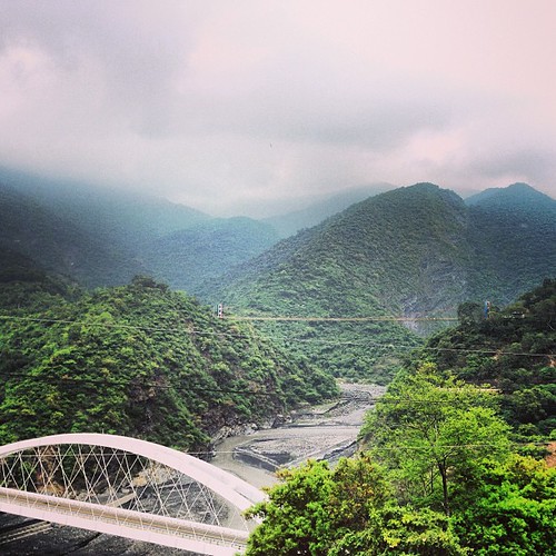
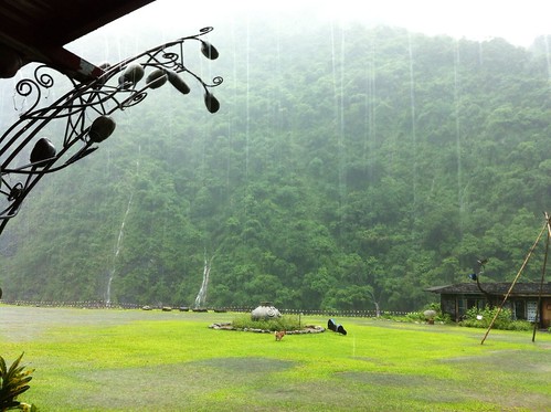
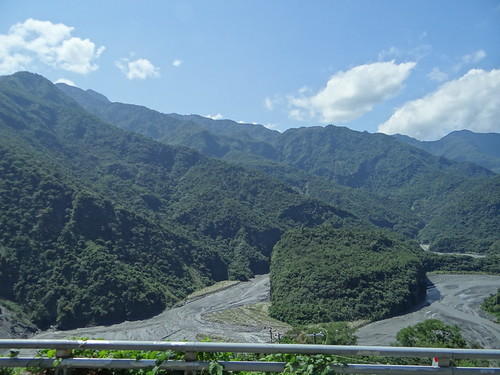
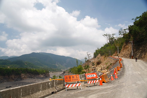
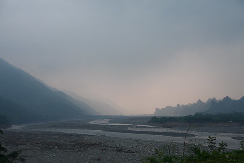
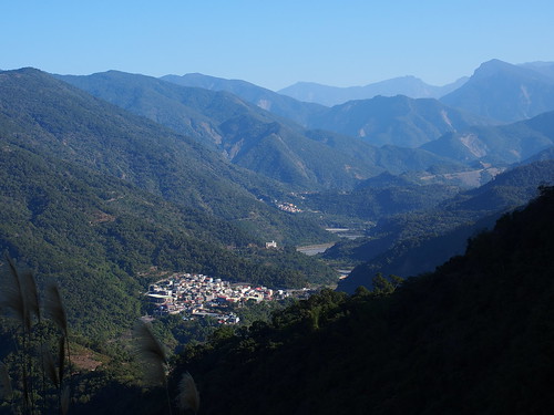
Elevation of Taiwan, 高雄市茂林區多納里
| Latitude | 22.9221243 |
|---|---|
| Longitude | 120.7809676 |
| Elevation | 876m / 2874feet |
| Barometric Pressure | 912KPa |
Related Photos:
Topographic Map of Taiwan, 高雄市茂林區多納里
Find elevation by address:
Places in Taiwan, 高雄市茂林區多納里:
Places near Taiwan, 高雄市茂林區多納里:
Maolin District
Taiwan, Kaohsiung City, Maolin District, 多納巷48號
茂林里
Taiwan, Kaohsiung City, Maolin District, 茂林林道83號
No. 21, Qiliu Rd, Liugui District, Kaohsiung City, Taiwan
新興里
No. 18, Xinfa Rd, Liugui District, Kaohsiung City, Taiwan
興龍里
Liugui District
文武里
新豐村
No. 39, Qiliu Rd, Liugui District, Kaohsiung City, Taiwan
青葉村
Taiwan, Kaohsiung City, Liugui District, 舊庄巷52號
33-1
No. 13, Minzhi Rd, Liugui District, Kaohsiung City, Taiwan
新威里
No. 1, Minhe Rd, Gaoshu Township, Pingtung County, Taiwan
廣林里
六龜里
Recent Searches:
- Elevation of 1841, Olds Court, Marco Island, Collier County, Florida, 34145, USA
- Elevation of Burnt Store Village, Charlotte County, Florida, 33955, USA
- Elevation of 26552, Angelica Road, Punta Gorda, Charlotte County, Florida, 33955, USA
- Elevation of 104, Chancery Road, Middletown Township, Bucks County, Pennsylvania, 19047, USA
- Elevation of 1212, Cypress Lane, Dayton, Liberty County, Texas, 77535, USA
- Elevation map of Central Hungary, Hungary
- Elevation map of Pest, Central Hungary, Hungary
- Elevation of Pilisszentkereszt, Pest, Central Hungary, Hungary
- Elevation of Dharamkot Tahsil, Punjab, India
- Elevation of Bhinder Khurd, Dharamkot Tahsil, Punjab, India
- Elevation of 2881, Chabot Drive, San Bruno, San Mateo County, California, 94066, USA
- Elevation of 10370, West 107th Circle, Westminster, Jefferson County, Colorado, 80021, USA
- Elevation of 611, Roman Road, Old Ford, Bow, London, England, E3 2RW, United Kingdom
- Elevation of 116, Beartown Road, Underhill, Chittenden County, Vermont, 05489, USA
- Elevation of Window Rock, Colfax County, New Mexico, 87714, USA
- Elevation of 4807, Rosecroft Street, Kempsville Gardens, Virginia Beach, Virginia, 23464, USA
- Elevation map of Matawinie, Quebec, Canada
- Elevation of Sainte-Émélie-de-l'Énergie, Matawinie, Quebec, Canada
- Elevation of Rue du Pont, Sainte-Émélie-de-l'Énergie, Matawinie, Quebec, J0K2K0, Canada
- Elevation of 8, Rue de Bécancour, Blainville, Thérèse-De Blainville, Quebec, J7B1N2, Canada
