Elevation of Taiwan, 高雄市美濃區廣林里
Location: Taiwan > Kaohsiung City > Meinong District >
Longitude: 120.6084832
Latitude: 22.9481687
Elevation: 335m / 1099feet
Barometric Pressure: 0KPa
Related Photos:
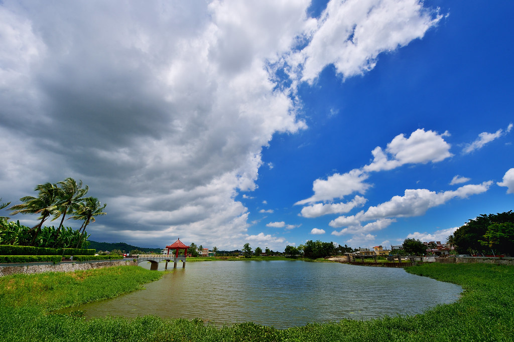
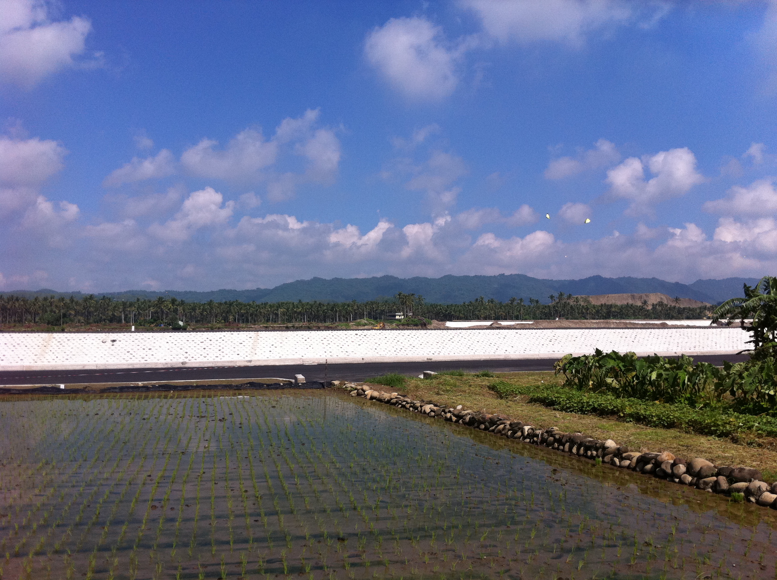
美濃中正湖

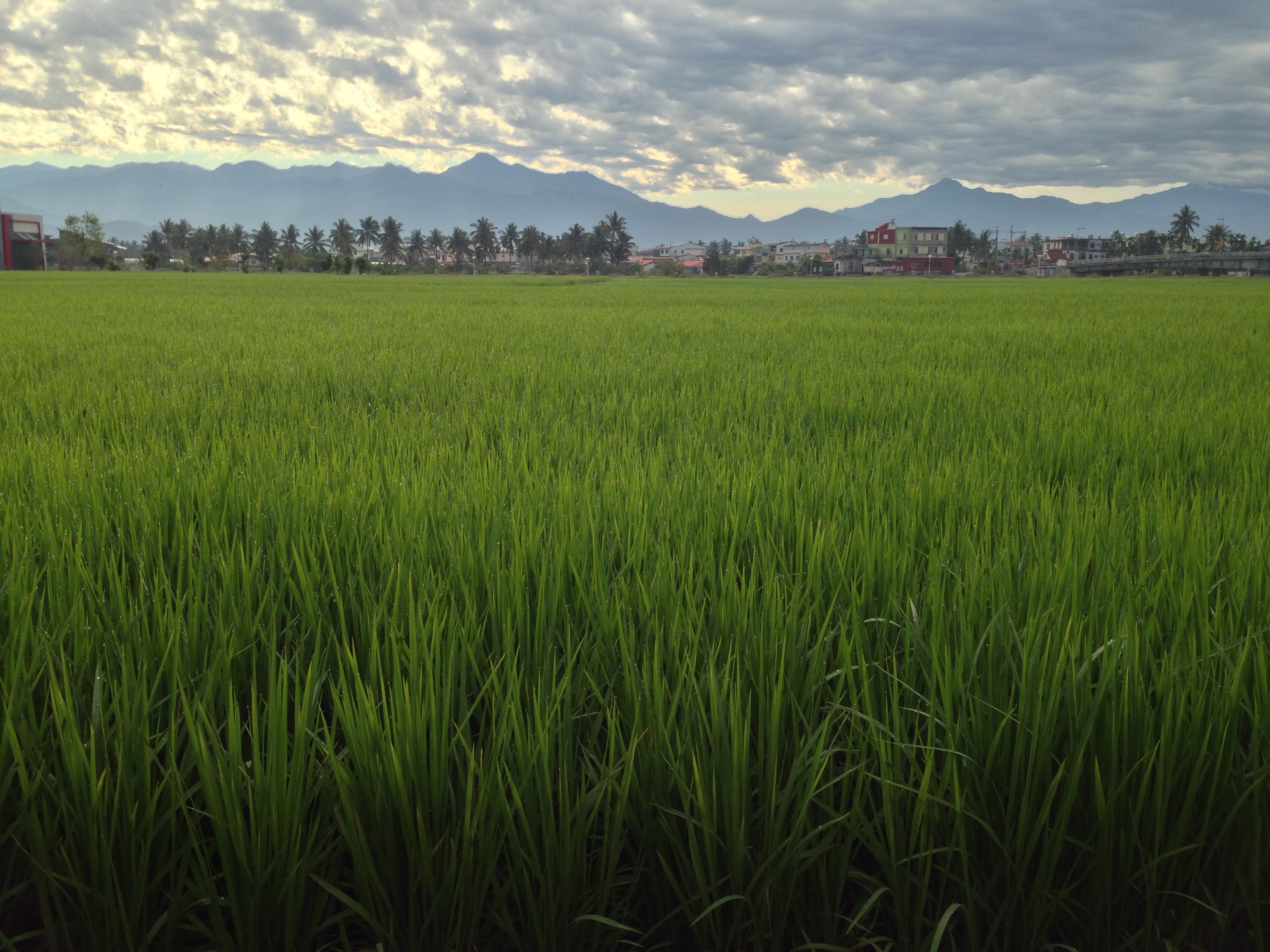
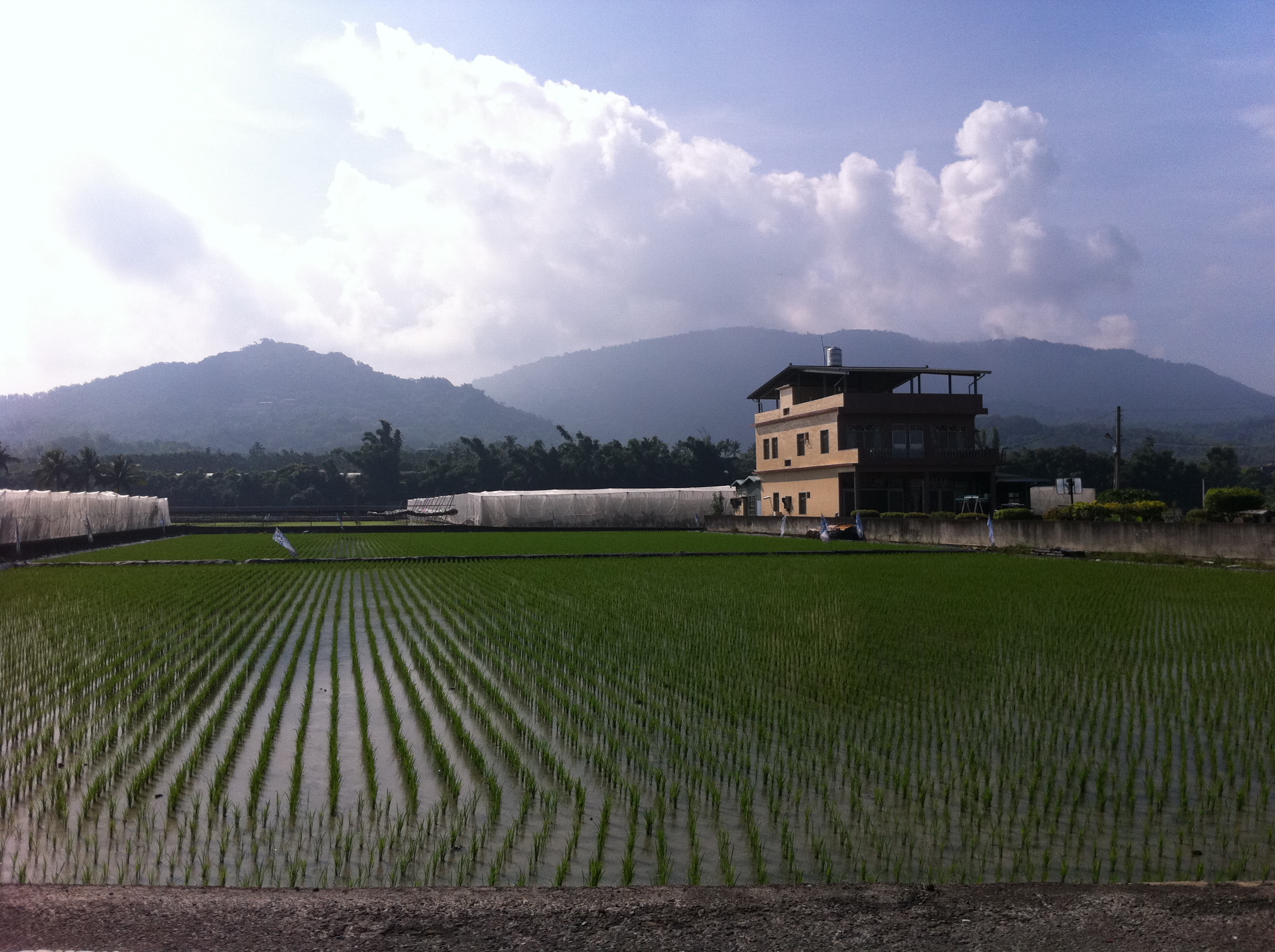
美濃河堤旁晚霞稻田-1
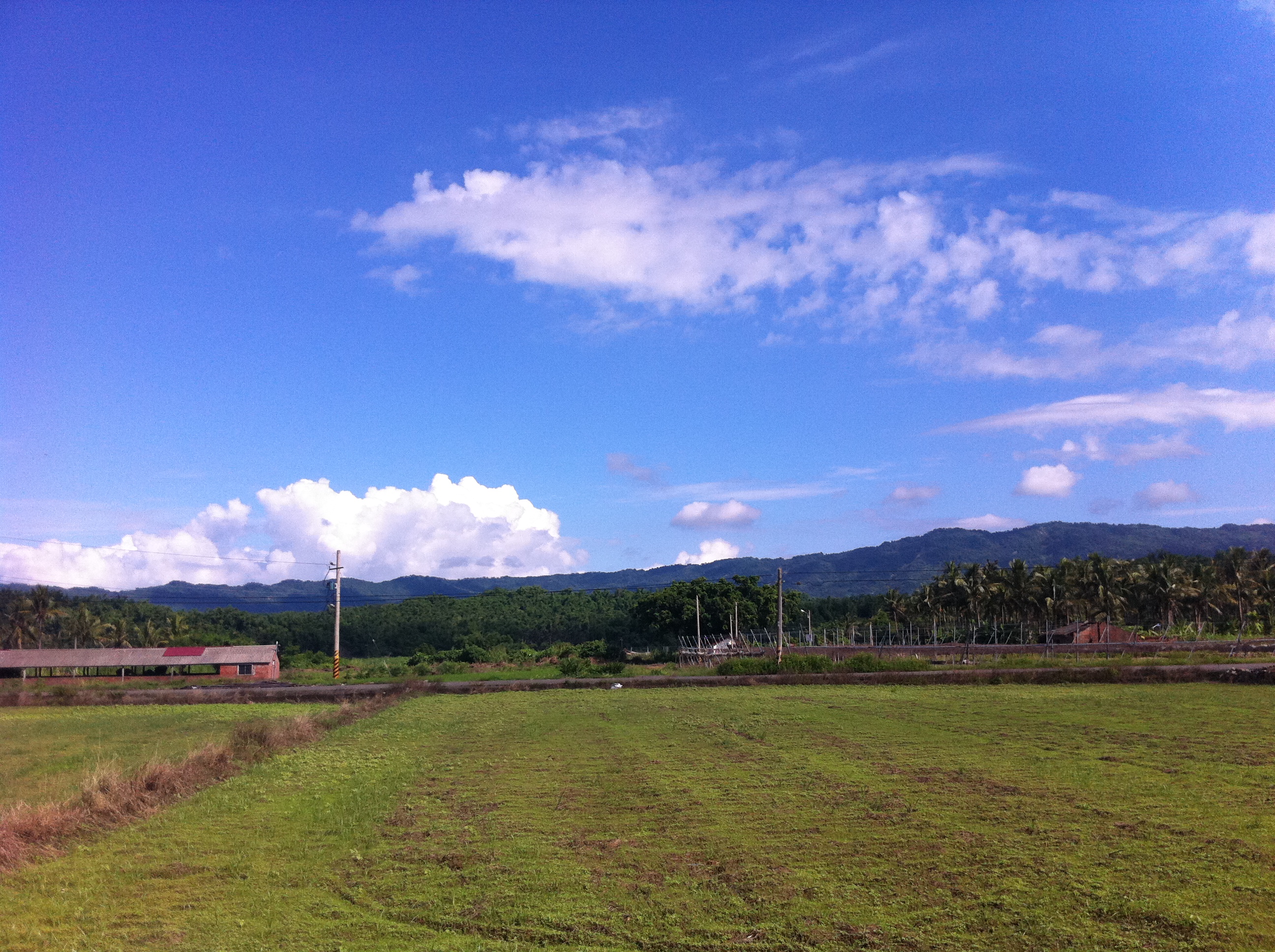
美濃,TAIWAN

南化水庫, Nanhua Reservoir

C360_2014-06-25-09-56-10-671

2016-May-01 尾寮山登山步道

| Peace & Serenity | This is another photo I took during a trip to the tiny town of Meinong (in southern Taiwan) where I woke before daybreak to catch the sunrise from this lake/reservoir. The morning air was still, humid, and muggy; the sky was hazy
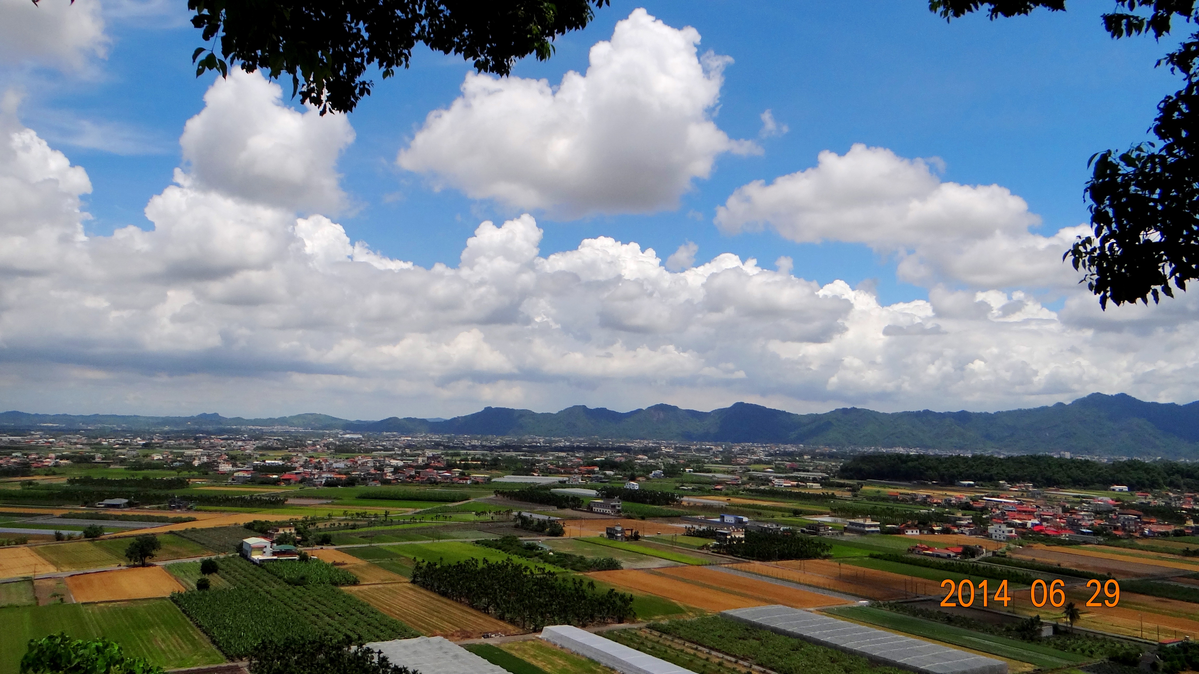
140629獅山瞰美濃

美濃。中正湖

IMG_1624.jpg

IMG_1733.jpg
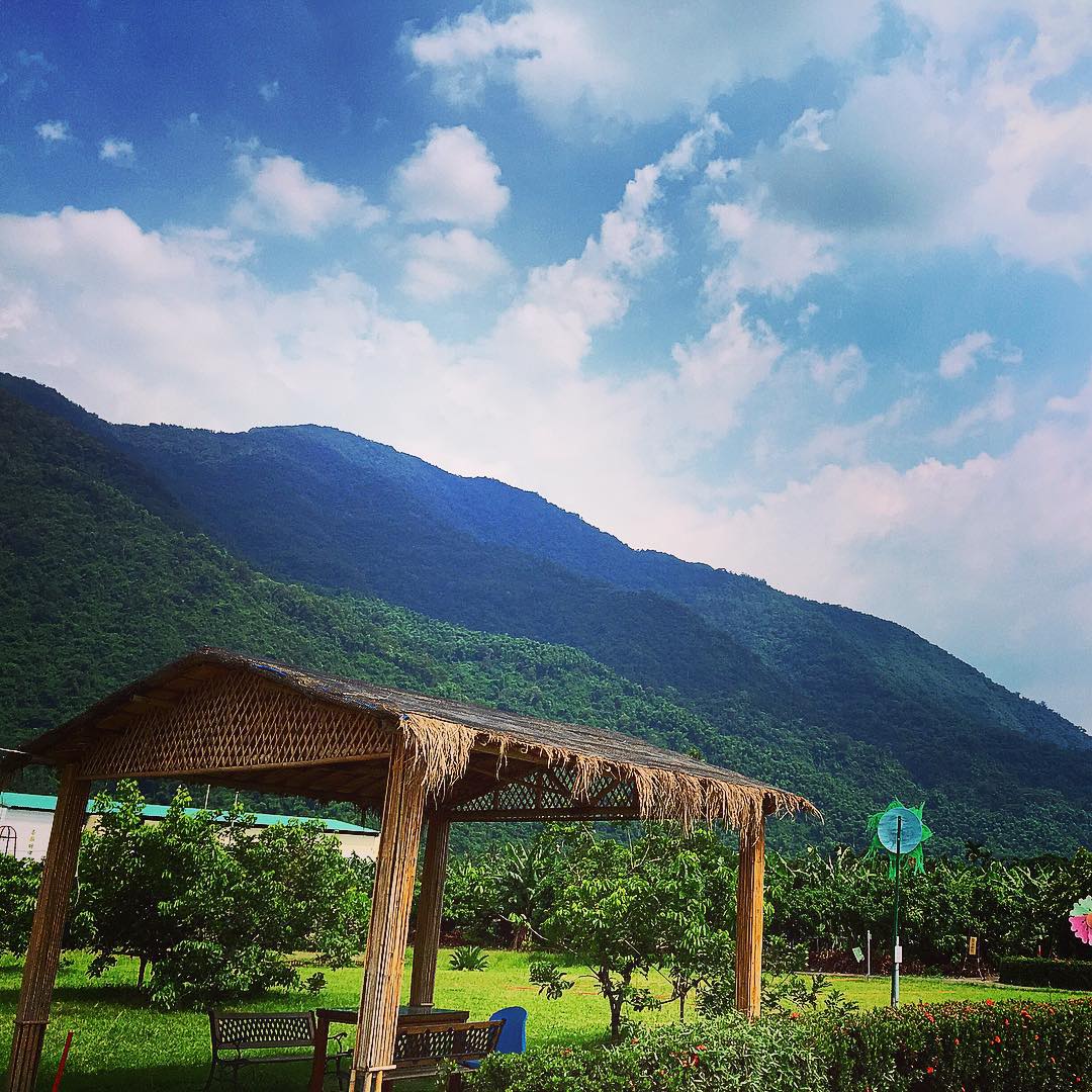
美麗的山腳下,有一群可愛小朋友~
IMG_1748.jpg
IMG_1644.jpg

白天的螢火蟲
IMG_1803.jpg
IMG_1734.jpg
Topographic Map of Taiwan, 高雄市美濃區廣林里
Find elevation by address:

Places in Taiwan, 高雄市美濃區廣林里:
Places near Taiwan, 高雄市美濃區廣林里:
文武里
新興里
新威里
No. 21, Qiliu Rd, Liugui District, Kaohsiung City, Taiwan
Taiwan, Kaohsiung City, Liugui District, 舊庄巷52號
No. 39, Qiliu Rd, Liugui District, Kaohsiung City, Taiwan
No. 13, Minzhi Rd, Liugui District, Kaohsiung City, Taiwan
六龜里
Liugui District
興龍里
新豐村
Taiwan, Kaohsiung City, Maolin District, 茂林林道83號
No. 18, Xinfa Rd, Liugui District, Kaohsiung City, Taiwan
茂林里
33-1
No. 1, Minhe Rd, Gaoshu Township, Pingtung County, Taiwan
菜寮村
青葉村
Taiwan, Kaohsiung City, Maolin District, 多納巷48號
Maolin District
Recent Searches:
- Elevation of 10370, West 107th Circle, Westminster, Jefferson County, Colorado, 80021, USA
- Elevation of 611, Roman Road, Old Ford, Bow, London, England, E3 2RW, United Kingdom
- Elevation of 116, Beartown Road, Underhill, Chittenden County, Vermont, 05489, USA
- Elevation of Window Rock, Colfax County, New Mexico, 87714, USA
- Elevation of 4807, Rosecroft Street, Kempsville Gardens, Virginia Beach, Virginia, 23464, USA
- Elevation map of Matawinie, Quebec, Canada
- Elevation of Sainte-Émélie-de-l'Énergie, Matawinie, Quebec, Canada
- Elevation of Rue du Pont, Sainte-Émélie-de-l'Énergie, Matawinie, Quebec, J0K2K0, Canada
- Elevation of 8, Rue de Bécancour, Blainville, Thérèse-De Blainville, Quebec, J7B1N2, Canada
- Elevation of Wilmot Court North, 163, University Avenue West, Northdale, Waterloo, Region of Waterloo, Ontario, N2L6B6, Canada
- Elevation map of Panamá Province, Panama
- Elevation of Balboa, Panamá Province, Panama
- Elevation of San Miguel, Balboa, Panamá Province, Panama
- Elevation of Isla Gibraleón, San Miguel, Balboa, Panamá Province, Panama
- Elevation of 4655, Krischke Road, Schulenburg, Fayette County, Texas, 78956, USA
- Elevation of Carnegie Avenue, Downtown Cleveland, Cleveland, Cuyahoga County, Ohio, 44115, USA
- Elevation of Walhonding, Coshocton County, Ohio, USA
- Elevation of Clifton Down, Clifton, Bristol, City of Bristol, England, BS8 3HU, United Kingdom
- Elevation map of Auvergne-Rhône-Alpes, France
- Elevation map of Upper Savoy, Auvergne-Rhône-Alpes, France