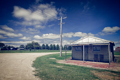
Elevation of Tablelands Rd, Red Range NSW, Australia
Location: Australia > New South Wales > Glen Innes Severn Shire Council > Red Range >
Longitude: 151.969487
Latitude: -29.814124
Elevation: 1093m / 3586feet
Barometric Pressure: 89KPa
Related Photos:
Topographic Map of Tablelands Rd, Red Range NSW, Australia
Find elevation by address:

Places near Tablelands Rd, Red Range NSW, Australia:
Red Range
Yarrowmount
Glen Innes Severn Shire Council
Skeleton Creek Road
123 Warra Forest Rd
Mount Mitchell
737 Aqua Park Rd
Wards Mistake
Guyra Shire Council
Thalgarrah
Armidale Regional Council
Clarence Valley Council
Armidale Dumaresq Council
Tyringham
Ebor
7630 Armidale Rd
2413 Tyringham Rd
Blaxlands Creek
Fernbrook
247 Deer Vale Rd
Recent Searches:
- Elevation of Corso Fratelli Cairoli, 35, Macerata MC, Italy
- Elevation of Tallevast Rd, Sarasota, FL, USA
- Elevation of 4th St E, Sonoma, CA, USA
- Elevation of Black Hollow Rd, Pennsdale, PA, USA
- Elevation of Oakland Ave, Williamsport, PA, USA
- Elevation of Pedrógão Grande, Portugal
- Elevation of Klee Dr, Martinsburg, WV, USA
- Elevation of Via Roma, Pieranica CR, Italy
- Elevation of Tavkvetili Mountain, Georgia
- Elevation of Hartfords Bluff Cir, Mt Pleasant, SC, USA


