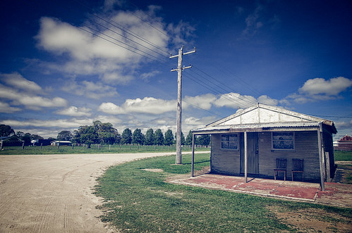
Elevation of Red Range NSW, Australia
Location: Australia > New South Wales > Glen Innes Severn Shire Council >
Longitude: 151.9684322
Latitude: -29.8078404
Elevation: 1078m / 3537feet
Barometric Pressure: 0KPa
Related Photos:
Topographic Map of Red Range NSW, Australia
Find elevation by address:

Places in Red Range NSW, Australia:
Places near Red Range NSW, Australia:
1000 Tablelands Rd
Yarrowmount
Glen Innes Severn Shire Council
Skeleton Creek Road
123 Warra Forest Rd
Mount Mitchell
737 Aqua Park Rd
Wards Mistake
Guyra Shire Council
Thalgarrah
Armidale Regional Council
Clarence Valley Council
Armidale Dumaresq Council
Tyringham
7630 Armidale Rd
Ebor
2413 Tyringham Rd
Blaxlands Creek
Fernbrook
247 Deer Vale Rd
Recent Searches:
- Elevation map of Greenland, Greenland
- Elevation of Sullivan Hill, New York, New York, 10002, USA
- Elevation of Morehead Road, Withrow Downs, Charlotte, Mecklenburg County, North Carolina, 28262, USA
- Elevation of 2800, Morehead Road, Withrow Downs, Charlotte, Mecklenburg County, North Carolina, 28262, USA
- Elevation of Yangbi Yi Autonomous County, Yunnan, China
- Elevation of Pingpo, Yangbi Yi Autonomous County, Yunnan, China
- Elevation of Mount Malong, Pingpo, Yangbi Yi Autonomous County, Yunnan, China
- Elevation map of Yongping County, Yunnan, China
- Elevation of North 8th Street, Palatka, Putnam County, Florida, 32177, USA
- Elevation of 107, Big Apple Road, East Palatka, Putnam County, Florida, 32131, USA
- Elevation of Jiezi, Chongzhou City, Sichuan, China
- Elevation of Chongzhou City, Sichuan, China
- Elevation of Huaiyuan, Chongzhou City, Sichuan, China
- Elevation of Qingxia, Chengdu, Sichuan, China
- Elevation of Corso Fratelli Cairoli, 35, Macerata MC, Italy
- Elevation of Tallevast Rd, Sarasota, FL, USA
- Elevation of 4th St E, Sonoma, CA, USA
- Elevation of Black Hollow Rd, Pennsdale, PA, USA
- Elevation of Oakland Ave, Williamsport, PA, USA
- Elevation of Pedrógão Grande, Portugal


