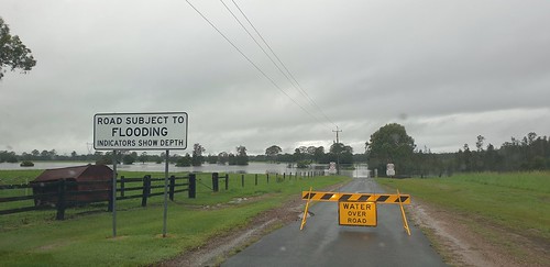
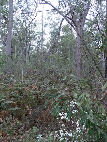
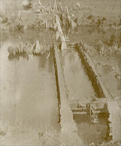
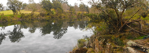
Elevation of Blaxlands Creek NSW, Australia
Location: Australia > New South Wales > Clarence Valley Council >
Longitude: 152.791918
Latitude: -29.863853
Elevation: 184m / 604feet
Barometric Pressure: 99KPa
Related Photos:
Topographic Map of Blaxlands Creek NSW, Australia
Find elevation by address:

Places near Blaxlands Creek NSW, Australia:
213 Clearview Rd
213 Clearview Rd
213 Clearview Rd
596 Clearview Rd
Coutts Crossing
Clarence Valley Council
40 Edward Ogilvie Dr
Grafton
23 Eight Mile Ln
Clarenza
492 Timber Top Rd
Glenreagh
Warragai Creek
Lowanna
7630 Armidale Rd
2122 Summerland Way
1080 Firth Heinz Rd
Coffs Harbour City Council
2413 Tyringham Rd
280d Upper Orara Rd
Recent Searches:
- Elevation of Corso Fratelli Cairoli, 35, Macerata MC, Italy
- Elevation of Tallevast Rd, Sarasota, FL, USA
- Elevation of 4th St E, Sonoma, CA, USA
- Elevation of Black Hollow Rd, Pennsdale, PA, USA
- Elevation of Oakland Ave, Williamsport, PA, USA
- Elevation of Pedrógão Grande, Portugal
- Elevation of Klee Dr, Martinsburg, WV, USA
- Elevation of Via Roma, Pieranica CR, Italy
- Elevation of Tavkvetili Mountain, Georgia
- Elevation of Hartfords Bluff Cir, Mt Pleasant, SC, USA


