Elevation of Tabernacle Rd, Mathews, VA, USA
Location: United States > Virginia > Mathews County > Westville > Mathews >
Longitude: -76.309911
Latitude: 37.4270659
Elevation: -10000m / -32808feet
Barometric Pressure: 295KPa
Elevation Map:
Satellite Map:
Related Photos:
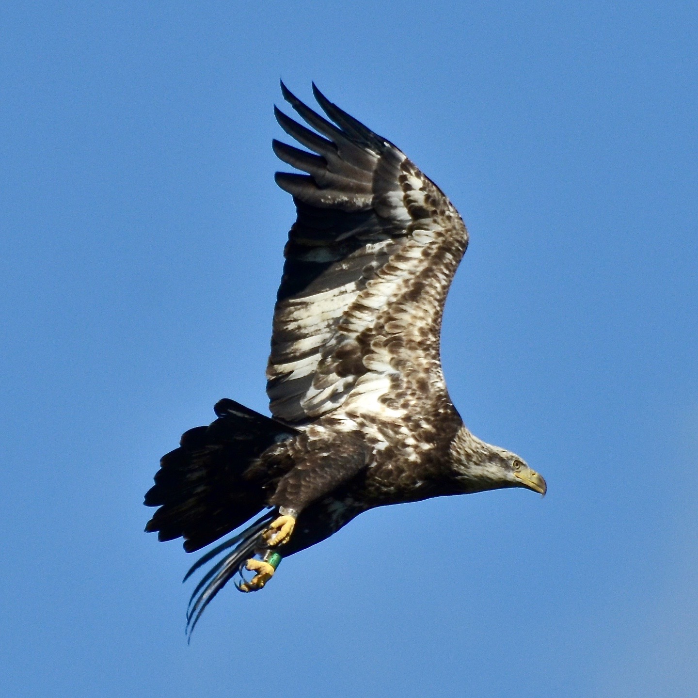
Bald Eagle, Virginia

Godfrey Bay on the Piankatank River

Bald Eagle, Virginia

Window with a View-Southwind Pizza-Mathews Virginia 1755

View from Lighthouse - Stingray Point Marina

New Point Comfort Nature Preserve

Uninstalled Twitter app from my phone on Friday to enjoy this view with friends & their families.... Surprisingly enough I survived! Happy to be back on Twitter but catching up on notifications might take some time..... Hope everyone is having an amazi

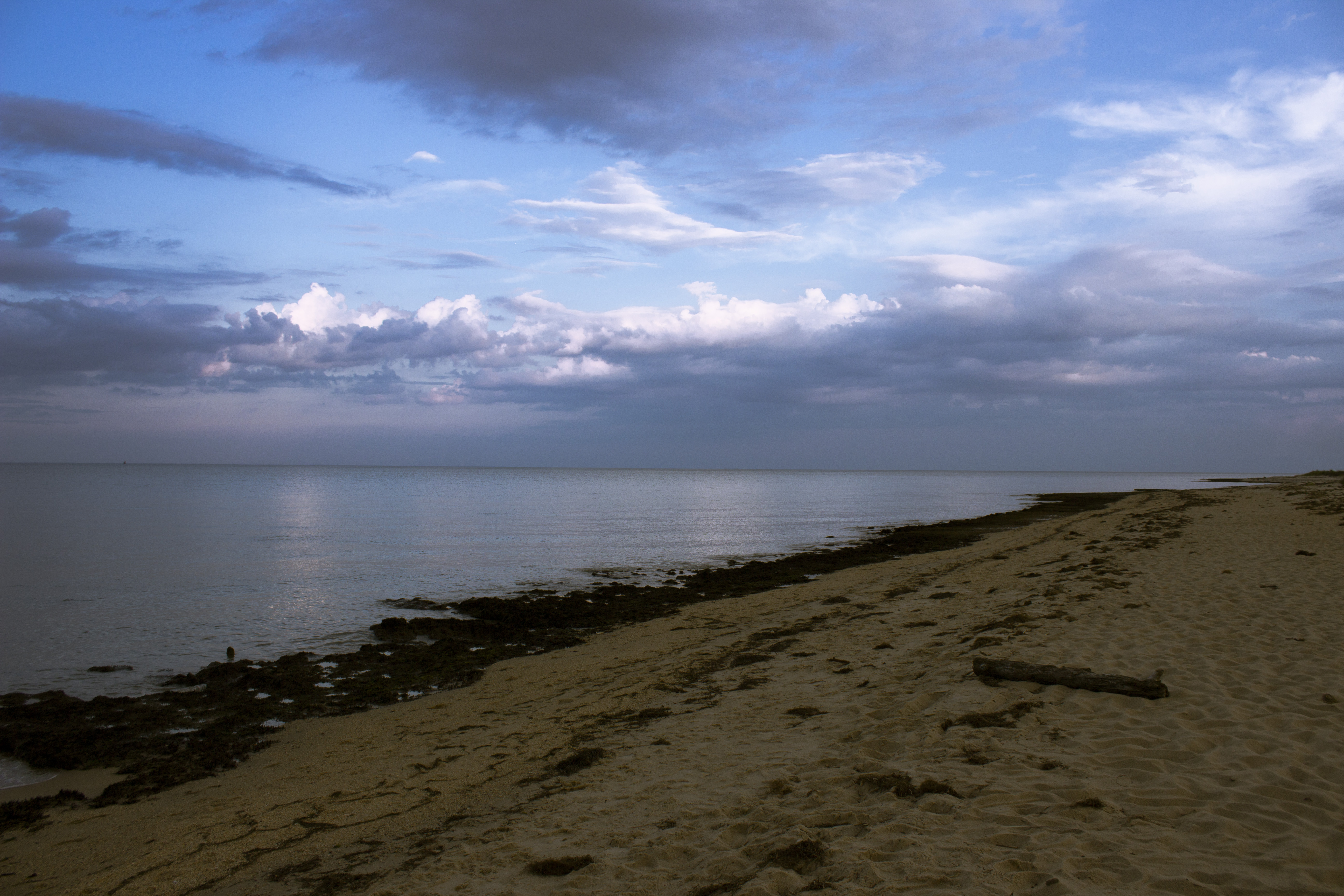
Big Weather over the Chesapeake Bay of Virginia. From Godfrey Bay, Mathews County. 7:26 a.m. April 13, 2019

Finally [Explored!]

Ware Neck 2

Stingray point

Sunset on Sturgeon Creek - Deltaville, VA

new point comfort 15

Low Tide at Hallieford Beach, Piankatank River, Mathews Virginia 4:30 p.m. 11/28/15

Bridge crossing Milford Haven to Gwynn's Island

Sturgeon Creek

Piering Into the Mist

Storm Off Stingray Point

FO - Mathews County Marsh - Diming

Gloucester, VA

Stormy: Godfrey Bay, Mathews County Virginia. 8:45 p.m. 7/8/16
The Getaway

Sunday Sunrise

Storm over Chesapeake Bay from Godfrey Bay, Mathews County Virginia 5:58 p.m. 2/25/17

Night Shoot at Mobjack Bay

Godfrey Bay, Cobbs Creek Virginia 5:44 p.m. 2/20/16

East River Virginia

Godfrey Bay at Misti Cove, Mathews County Virginia 6:53 a.m. 11/28/15
Topographic Map of Tabernacle Rd, Mathews, VA, USA
Find elevation by address:

Places near Tabernacle Rd, Mathews, VA, USA:
595 Tabernacle Rd
183 Main St
Mathews
90 Irvinville Ln
Glebe Road
251 Parrish House Ln
Mathews County
Port Haywood
331 Thurston Rd
215 Evans Rd
407 Kings Creek Ln
84 Jordan Ln
409 Sandberg Ln
East River Road
Bohannon
Susan
1104 Possum Point Rd
Mobjack
E River Rd, Foster, VA, USA
Aldendale Lane
Recent Searches:
- Elevation of Corso Fratelli Cairoli, 35, Macerata MC, Italy
- Elevation of Tallevast Rd, Sarasota, FL, USA
- Elevation of 4th St E, Sonoma, CA, USA
- Elevation of Black Hollow Rd, Pennsdale, PA, USA
- Elevation of Oakland Ave, Williamsport, PA, USA
- Elevation of Pedrógão Grande, Portugal
- Elevation of Klee Dr, Martinsburg, WV, USA
- Elevation of Via Roma, Pieranica CR, Italy
- Elevation of Tavkvetili Mountain, Georgia
- Elevation of Hartfords Bluff Cir, Mt Pleasant, SC, USA