Elevation of Aldendale Lane, Aldendale Ln, Chesapeake, VA, USA
Location: United States > Virginia > Mathews County > Chesapeake > Susan >
Longitude: -76.303779
Latitude: 37.3623291
Elevation: 2m / 7feet
Barometric Pressure: 101KPa
Elevation Map:
Satellite Map:
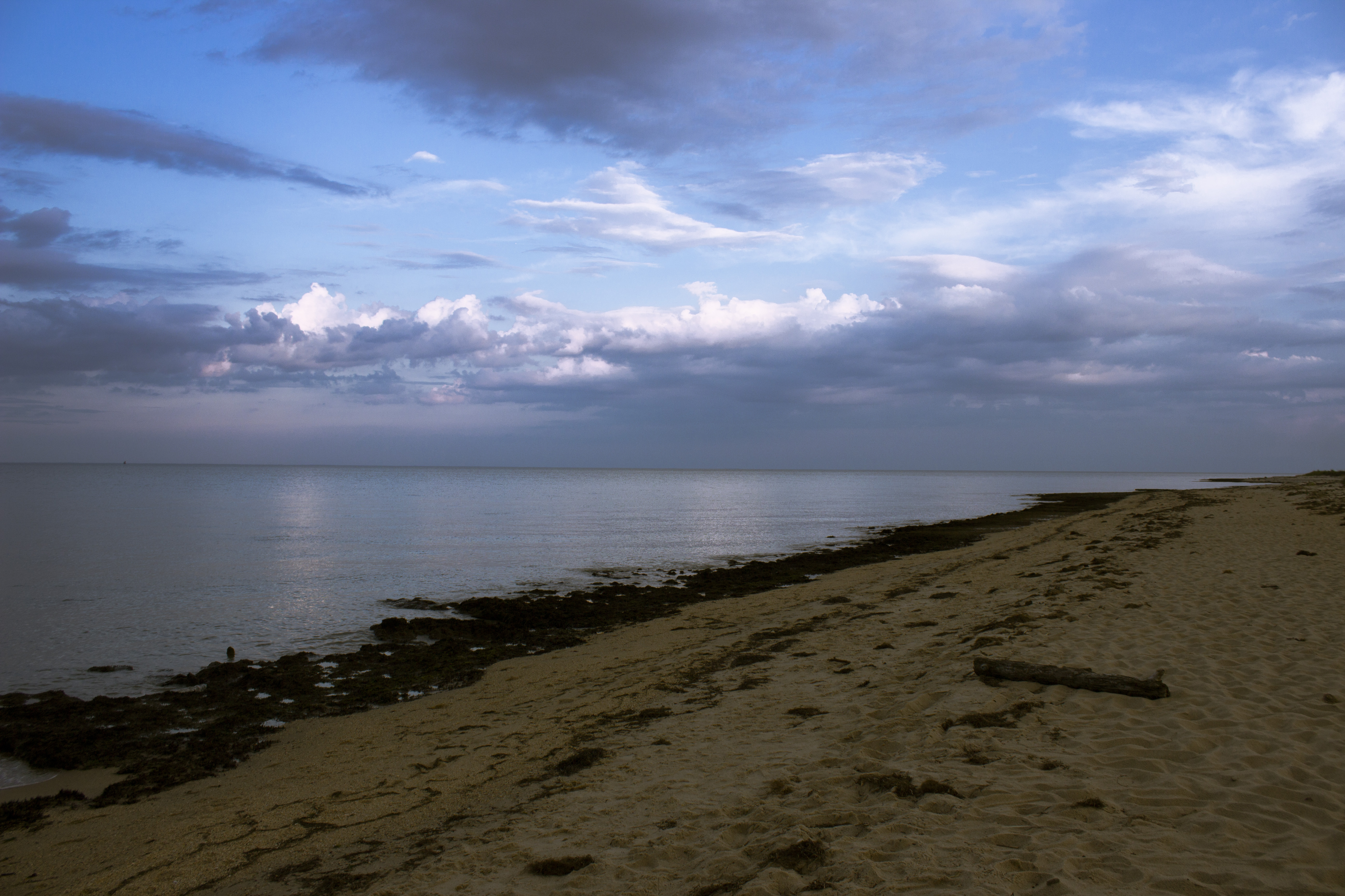
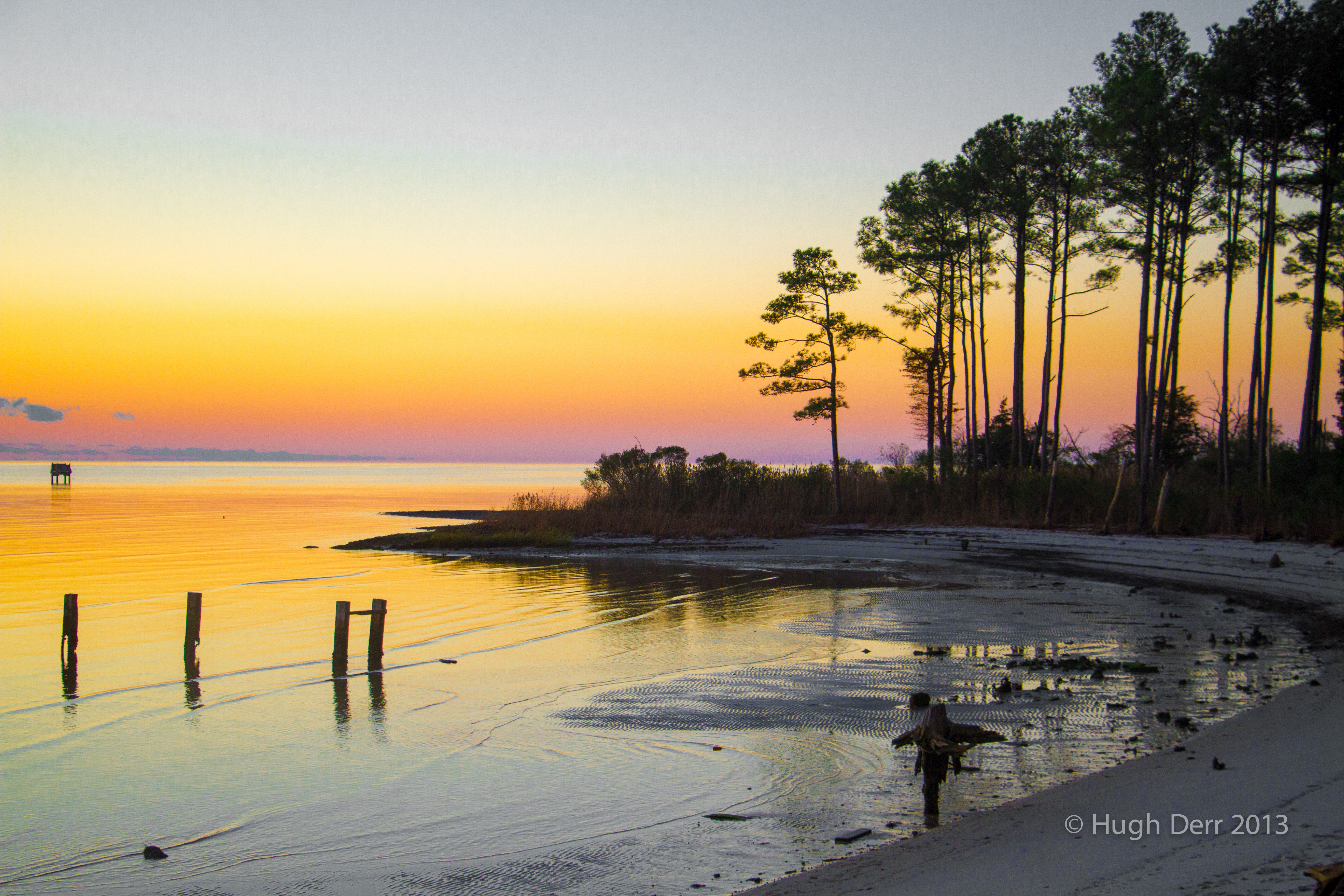
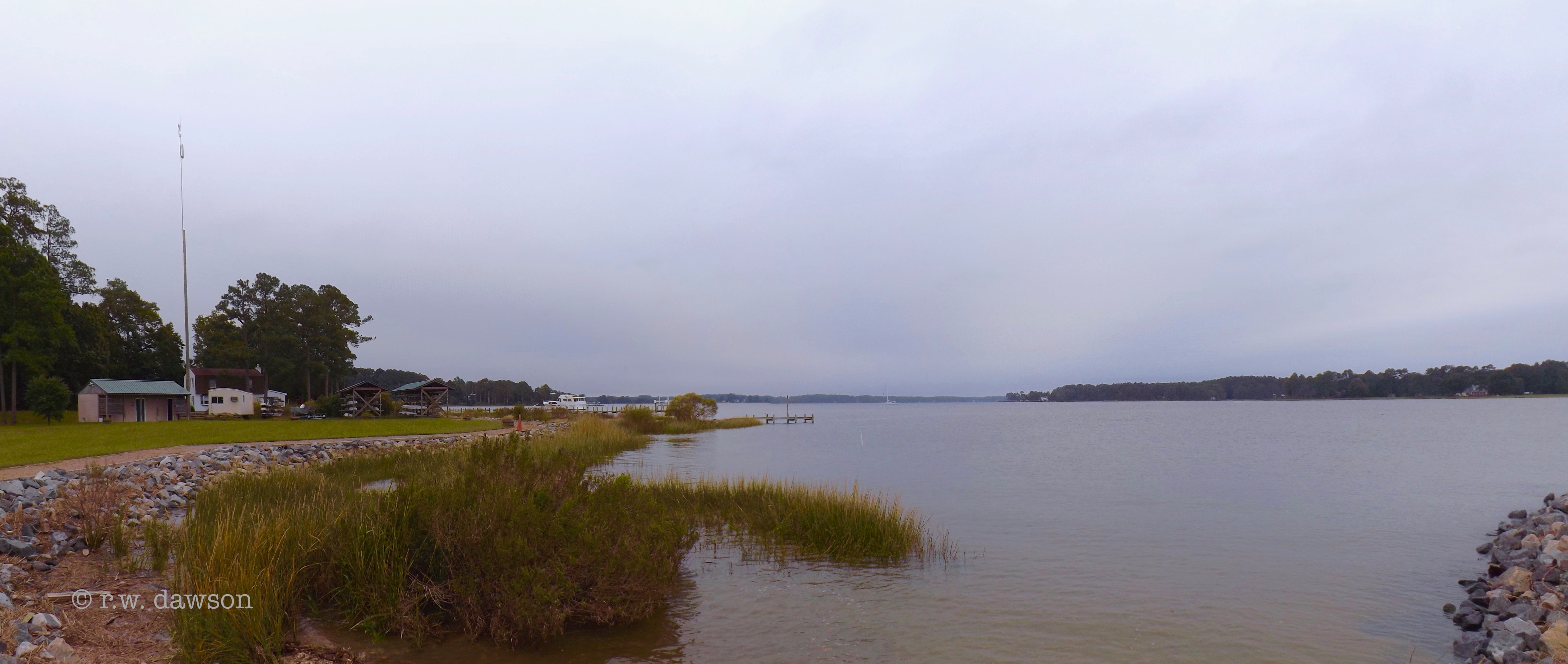
Related Photos:
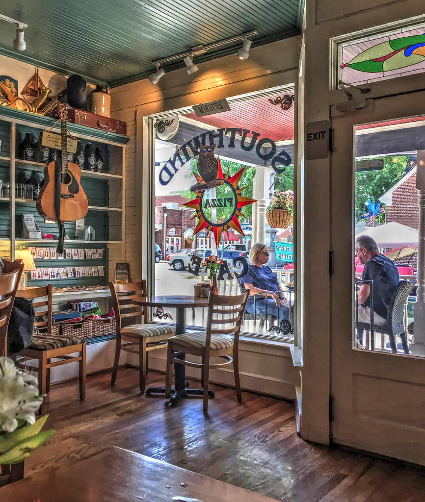
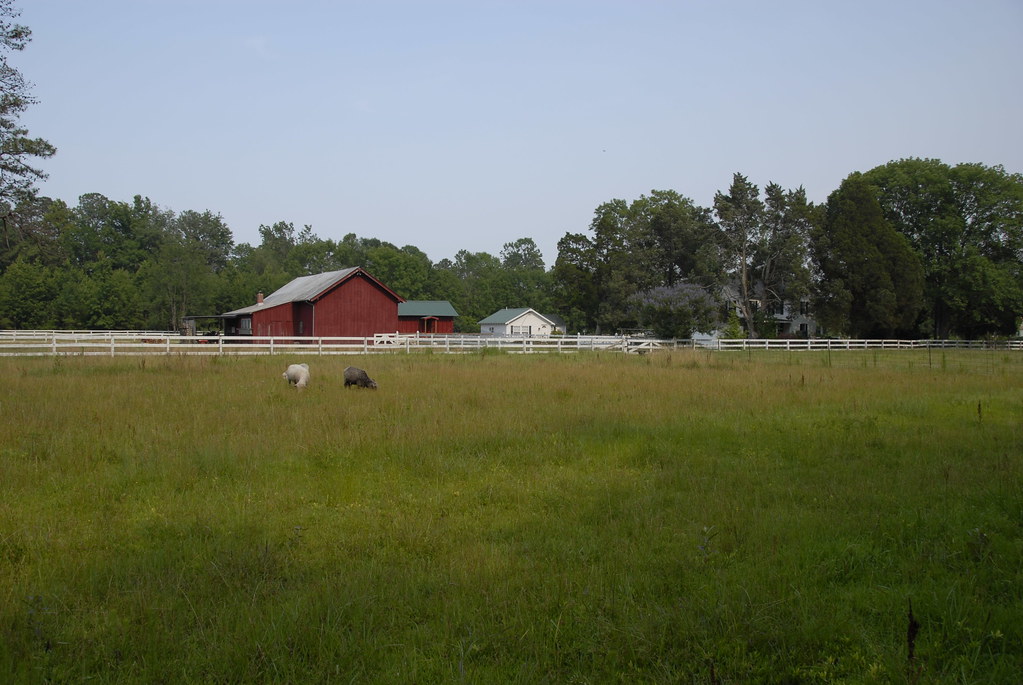
Window with a View-Southwind Pizza-Mathews Virginia 1755

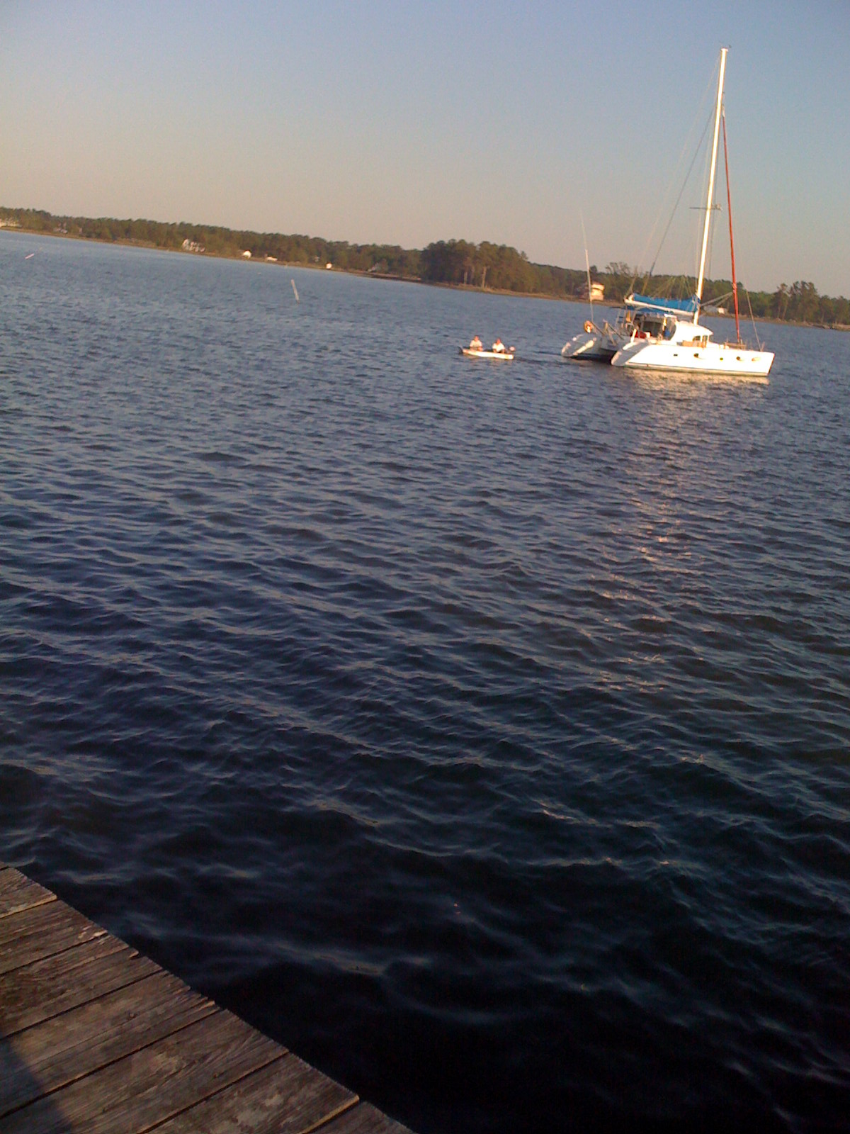
Liveaboard Sunset

West Front, Windrift, Gloucester

Rotting Kandi (pun intended)!
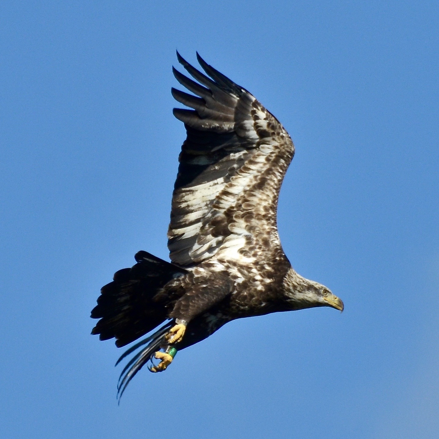
Bald Eagle, Virginia
nice view
Gale House
Gale House

New Point
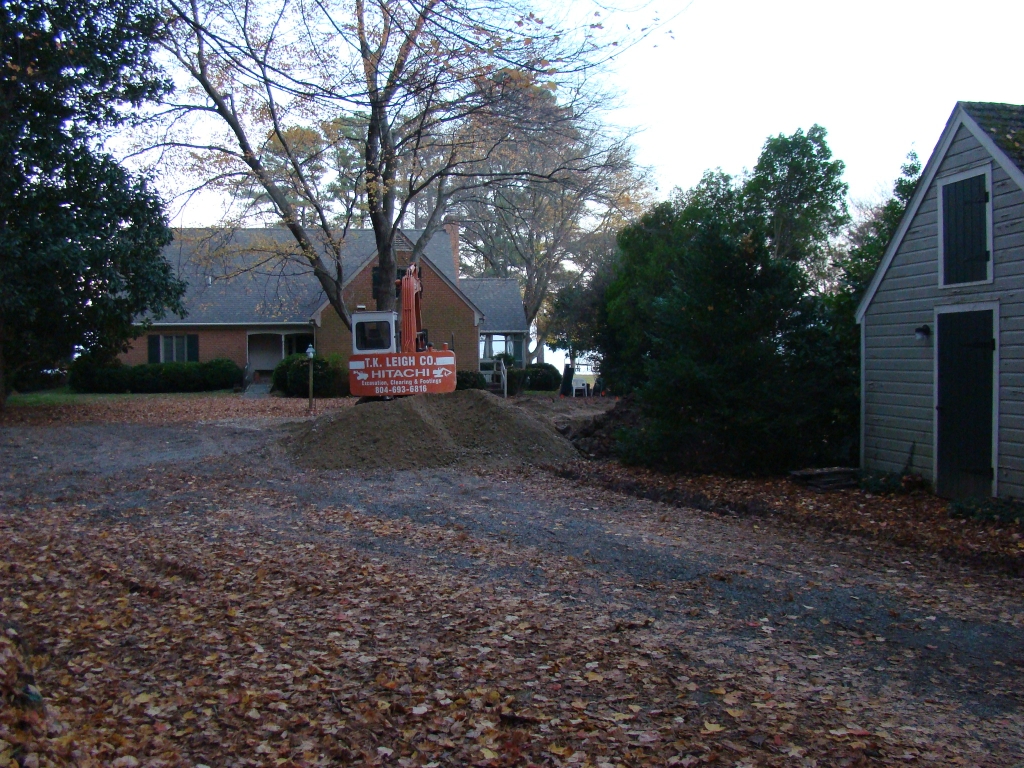
2009-11-20_1802
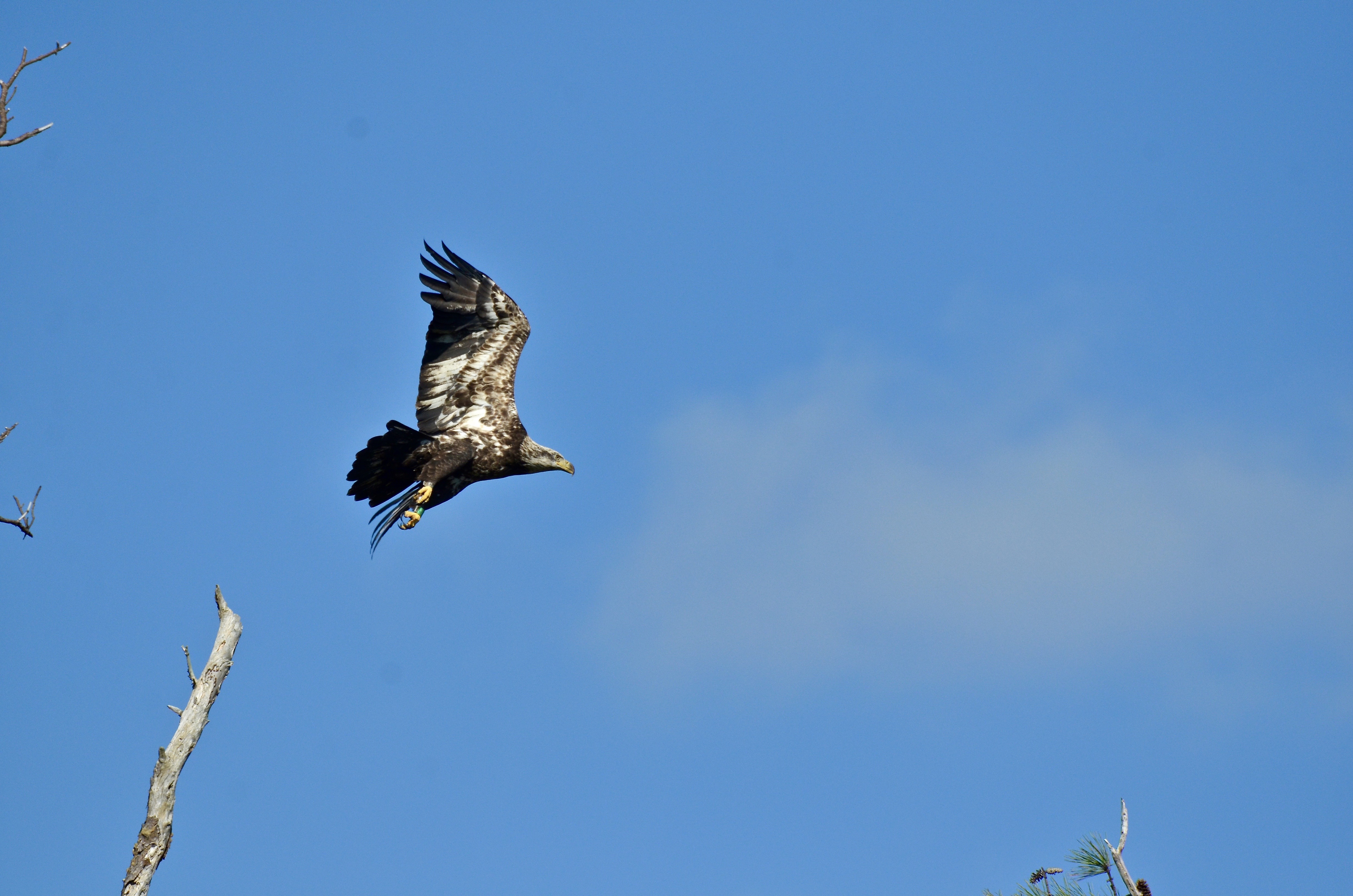
Bald Eagle, Virginia

getting the view
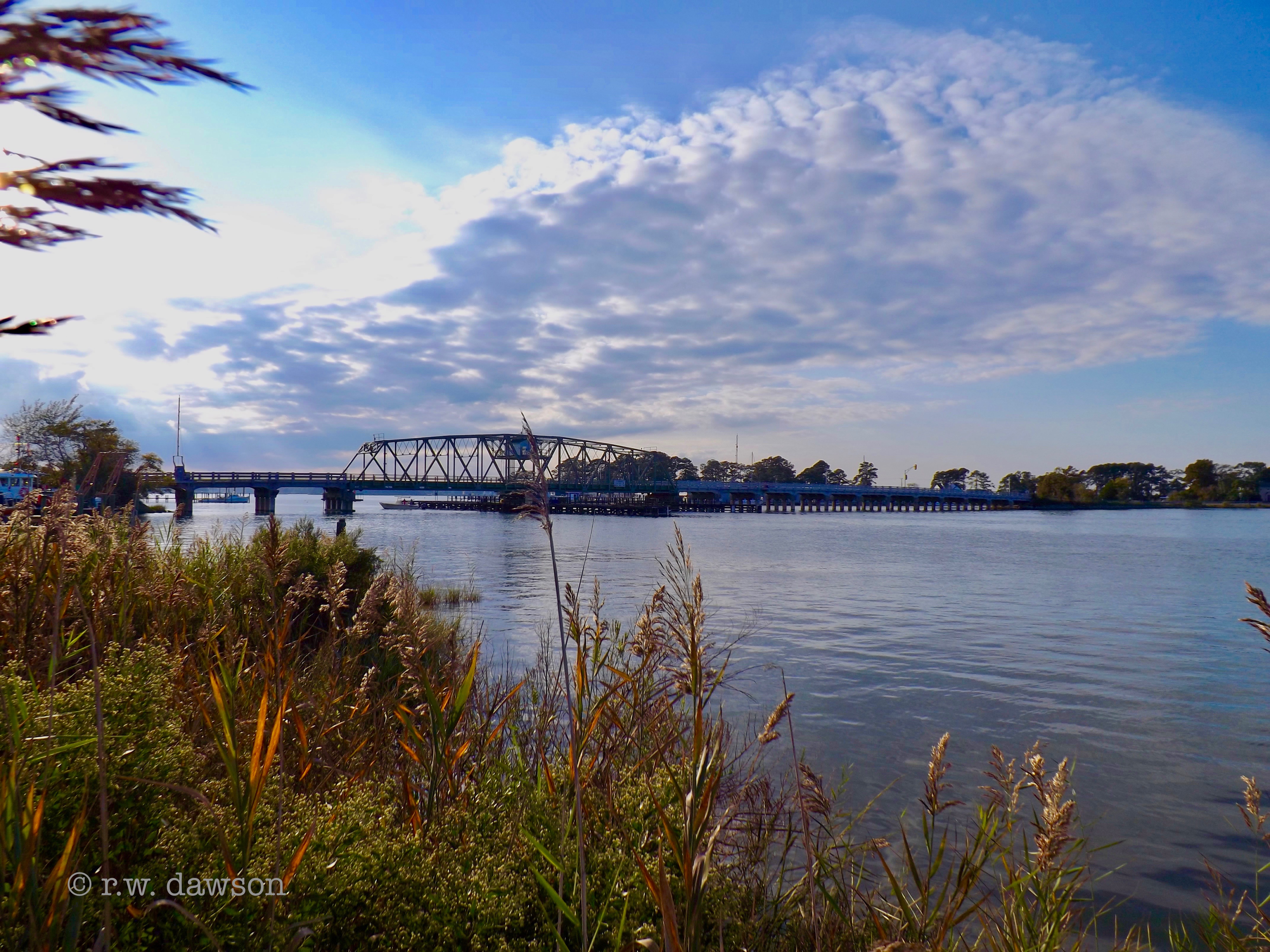
Bridge crossing Milford Haven to Gwynn's Island
The Getaway
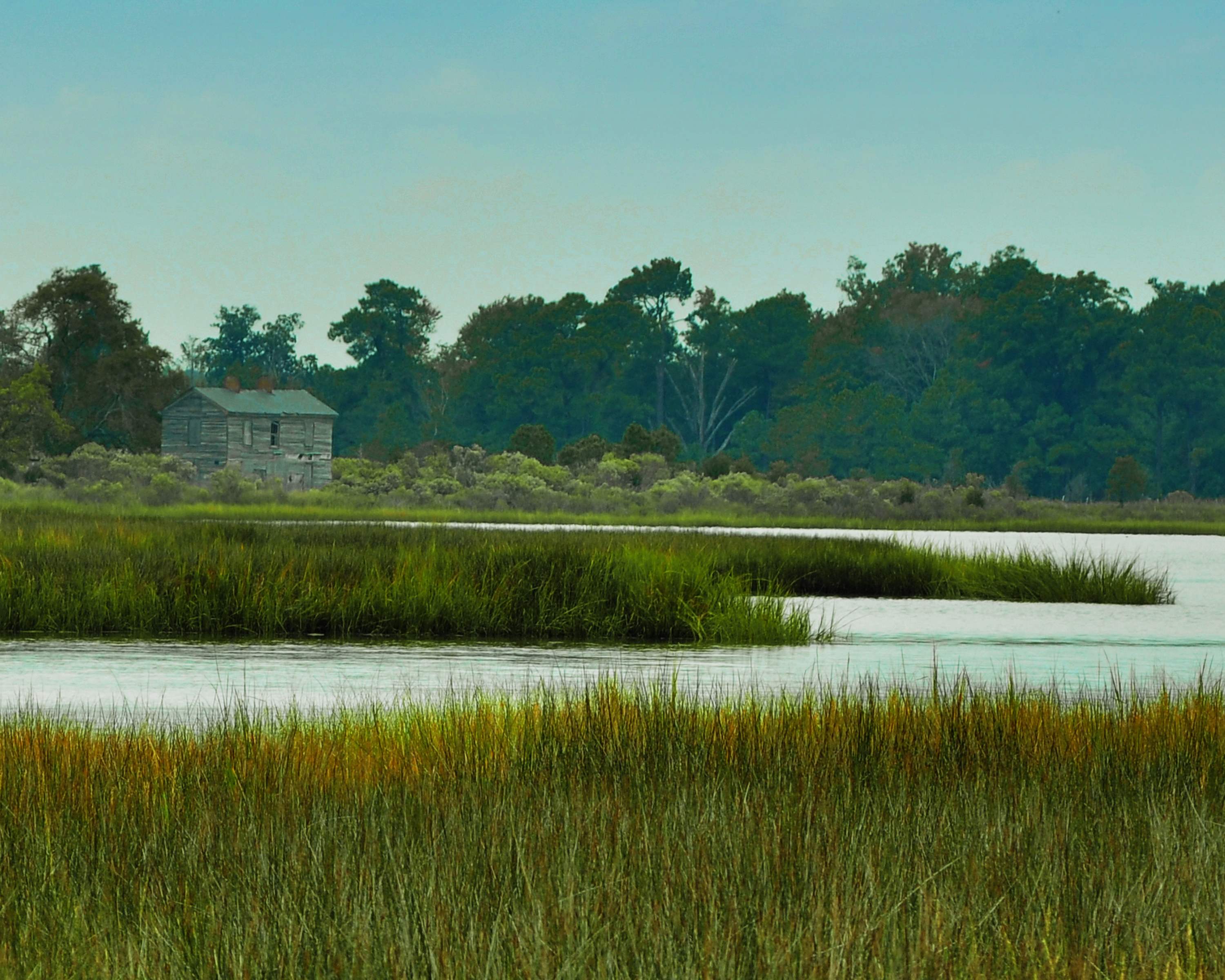
Ware Neck 2

Taking in the breeze
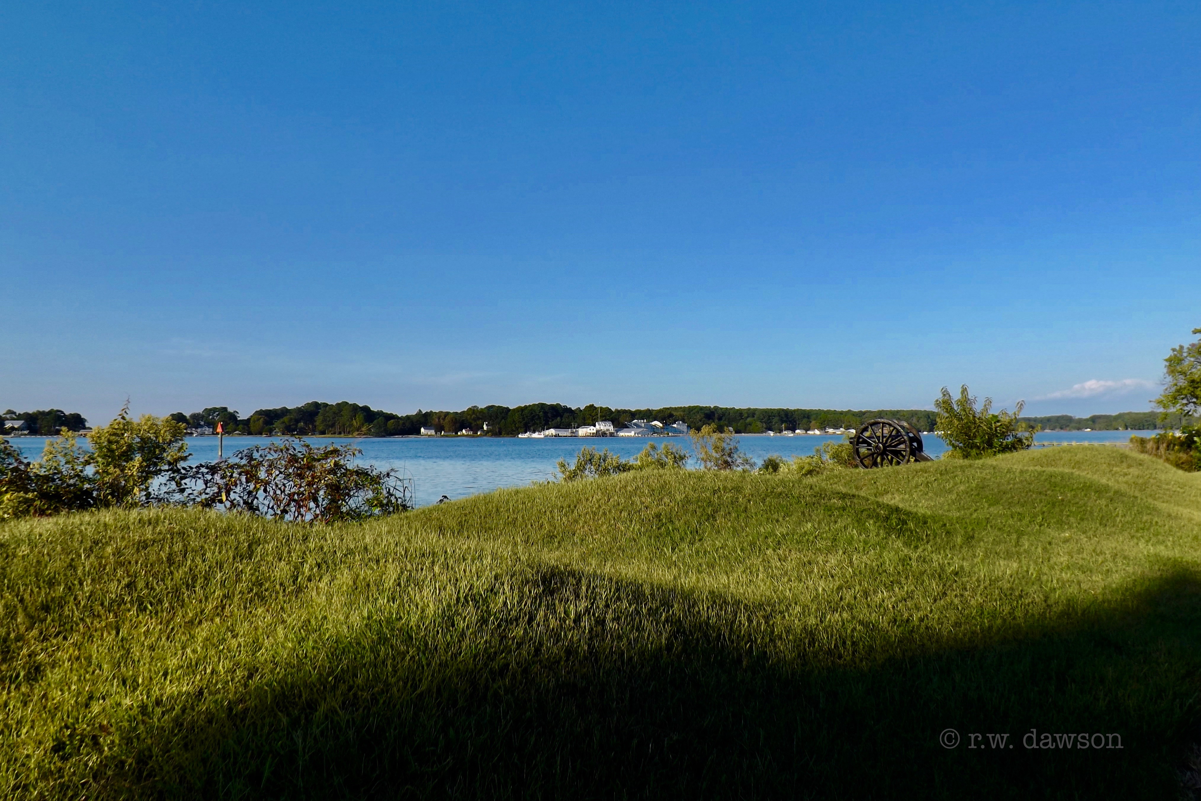
American Earth Works from the Battle of Cricket Hill

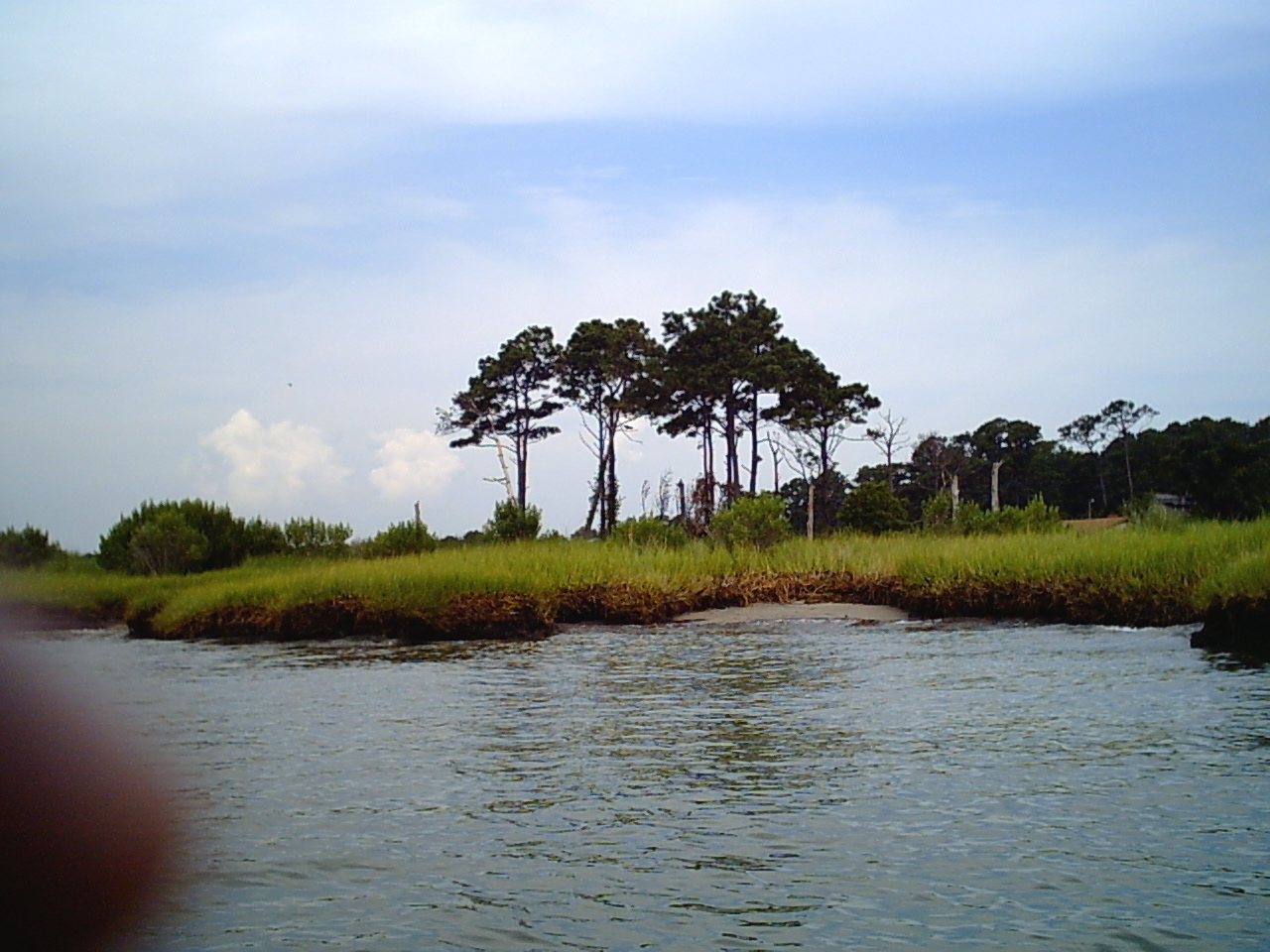
FO - Mathews County Marsh - Diming
East River Virginia
Some Trees
GLASS ROADcorel

none of my pleasures
Getting ready 020

Getting ready 021
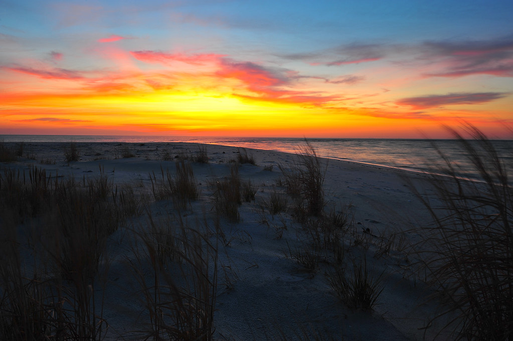
Sunrise at New Comfort Point
twisted in the maze of the palace
Gwynn's Island Beach House and Shoreline
Rain on the Bay

Contemplation of Waves

Splash Splosh Splash Splosh
New Pictures 236
Topographic Map of Aldendale Lane, Aldendale Ln, Chesapeake, VA, USA
Find elevation by address:

Places near Aldendale Lane, Aldendale Ln, Chesapeake, VA, USA:
Susan
1104 Possum Point Rd
Port Haywood
Mathews County
407 Kings Creek Ln
Mobjack
E River Rd, Foster, VA, USA
751 Tabernacle Rd
595 Tabernacle Rd
Bohannon
617 North River Rd
251 Parrish House Ln
90 Irvinville Ln
183 Main St
Mathews
East River Road
331 Thurston Rd
Glebe Road
84 Jordan Ln
215 Evans Rd
Recent Searches:
- Elevation of Corso Fratelli Cairoli, 35, Macerata MC, Italy
- Elevation of Tallevast Rd, Sarasota, FL, USA
- Elevation of 4th St E, Sonoma, CA, USA
- Elevation of Black Hollow Rd, Pennsdale, PA, USA
- Elevation of Oakland Ave, Williamsport, PA, USA
- Elevation of Pedrógão Grande, Portugal
- Elevation of Klee Dr, Martinsburg, WV, USA
- Elevation of Via Roma, Pieranica CR, Italy
- Elevation of Tavkvetili Mountain, Georgia
- Elevation of Hartfords Bluff Cir, Mt Pleasant, SC, USA