Elevation of Glebe Road, Glebe Rd, Mathews, VA, USA
Location: United States > Virginia > Mathews County > Westville > Mathews >
Longitude: -76.335824
Latitude: 37.4375866
Elevation: 4m / 13feet
Barometric Pressure: 101KPa
Elevation Map:
Satellite Map:
Related Photos:
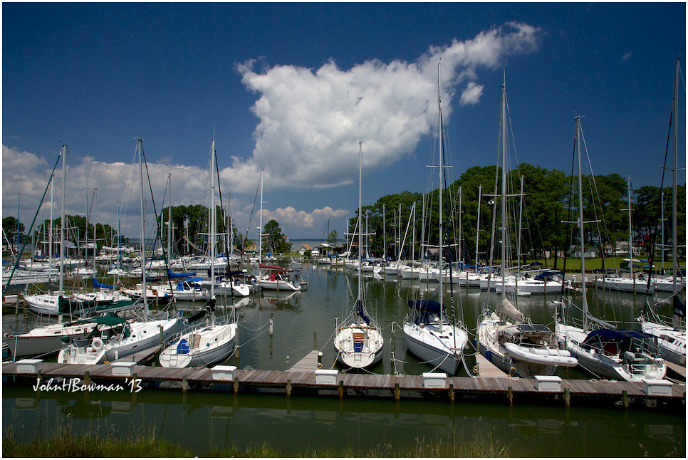
View from Lighthouse - Stingray Point Marina
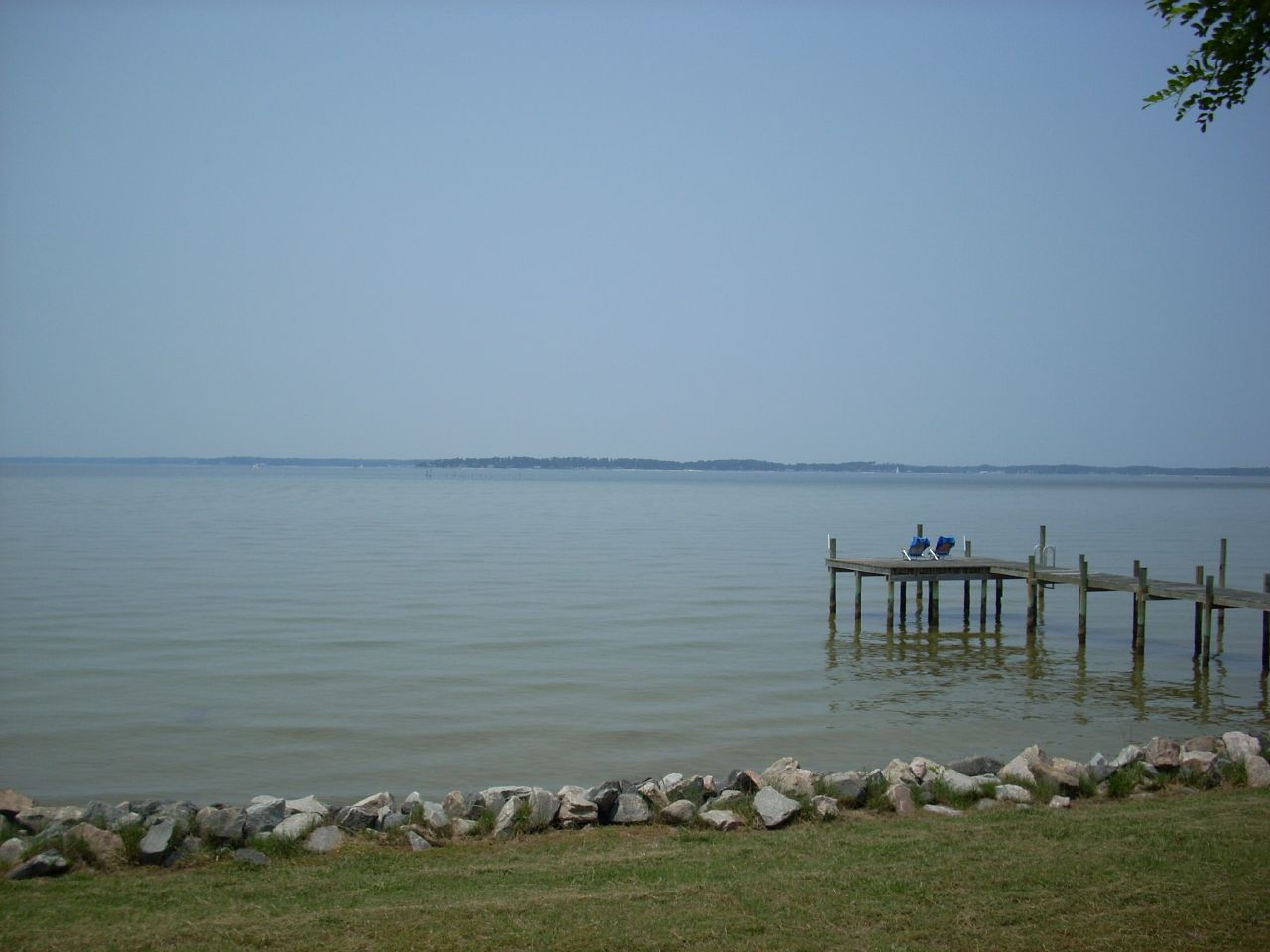
nice view
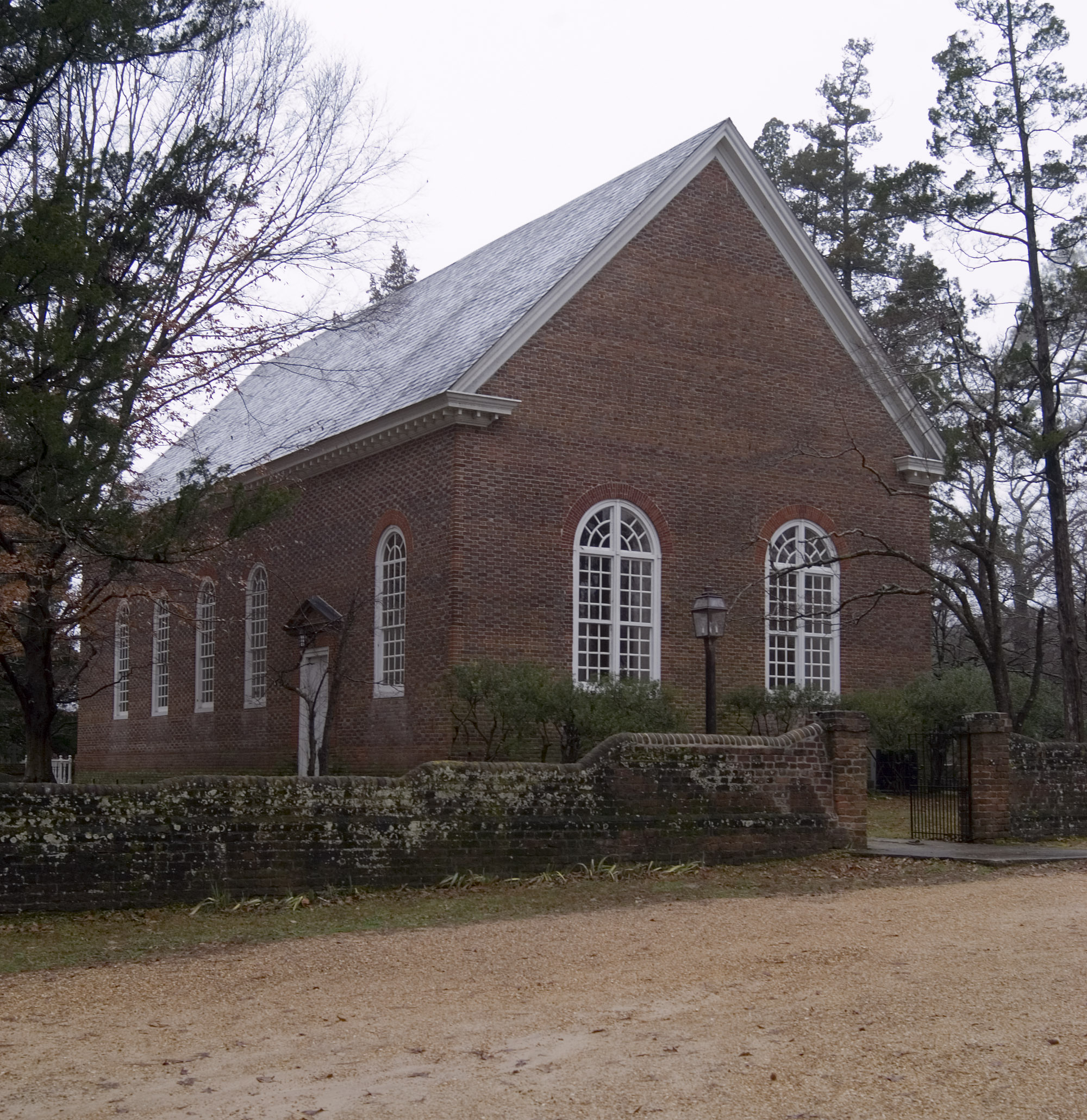
Ware Church, Gloucester County

New Point Comfort Nature Preserve

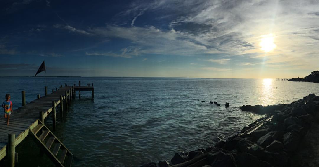
Grandparents View

New Point Comfort Lighthouse-Mathews Co Va (2)

getting the view
West Front, Windrift, Gloucester
Uninstalled Twitter app from my phone on Friday to enjoy this view with friends & their families.... Surprisingly enough I survived! Happy to be back on Twitter but catching up on notifications might take some time..... Hope everyone is having an amazi
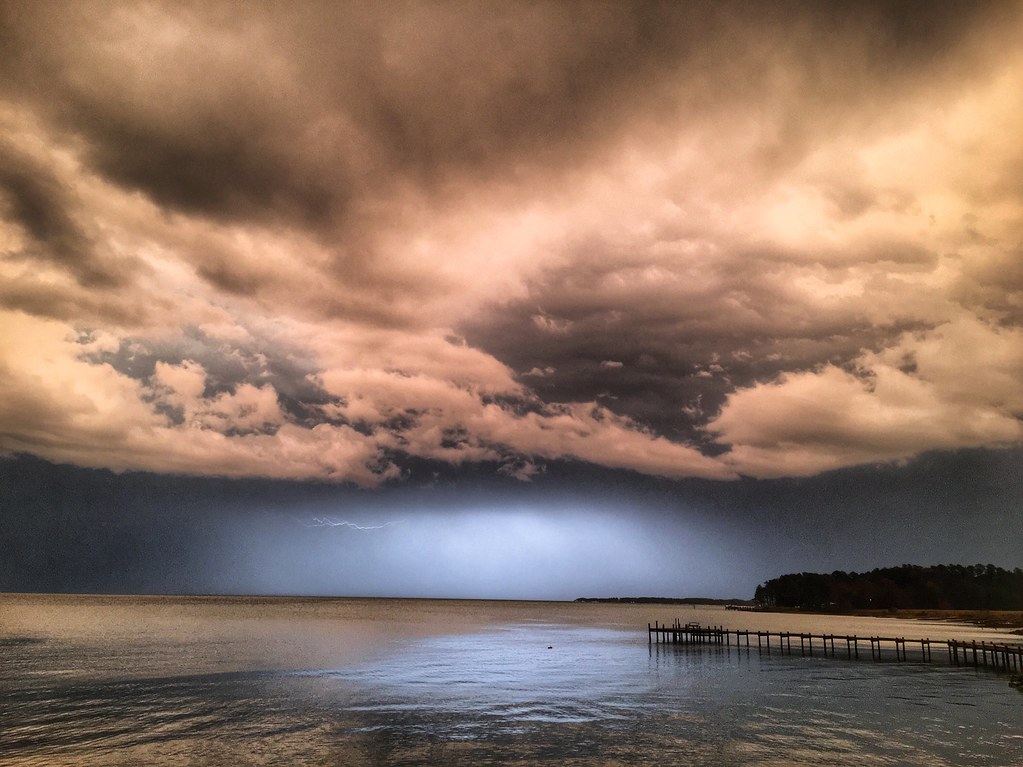
Storm over Chesapeake Bay from Godfrey Bay, Mathews County Virginia 5:58 p.m. 2/25/17

Sunset on Sturgeon Creek - Deltaville, VA
Finally [Explored!]

Storm Off Stingray Point
Stingray point
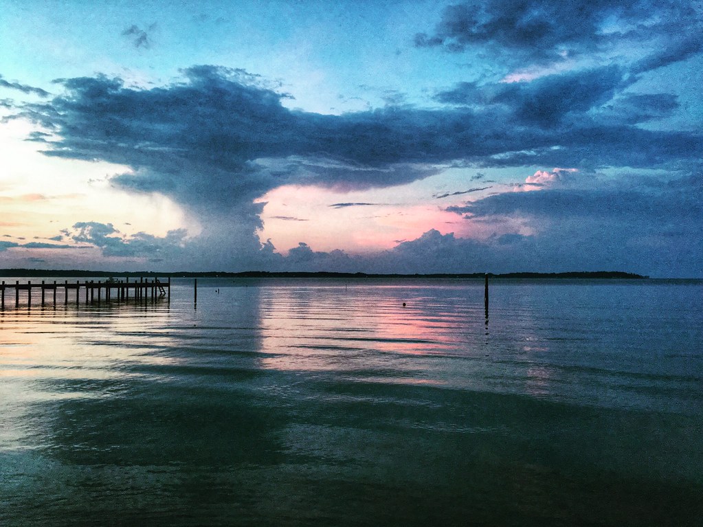
Stormy: Godfrey Bay, Mathews County Virginia. 8:45 p.m. 7/8/16

Sturgeon Creek

This Morning. Godfrey Bay, Cobbs Creek Virginia. 5:35 a.m. 7/9/16
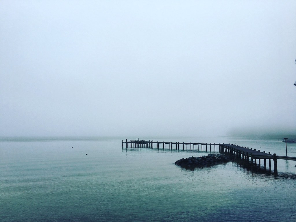
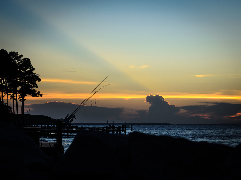
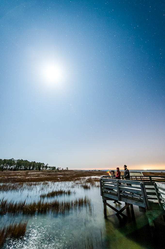
Piering Into the Mist
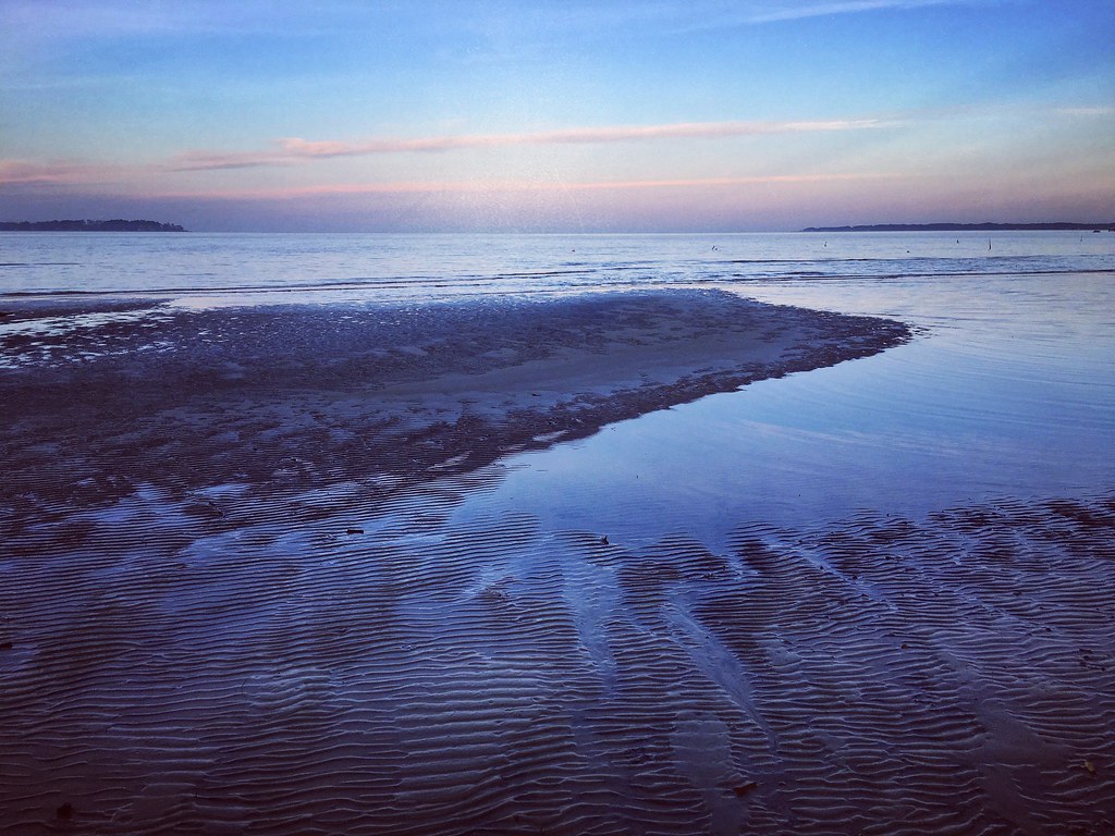
Low Tide at Hallieford Beach, Piankatank River, Mathews Virginia 4:30 p.m. 11/28/15
Godfrey Bay, Cobbs Creek Virginia 5:44 p.m. 2/20/16

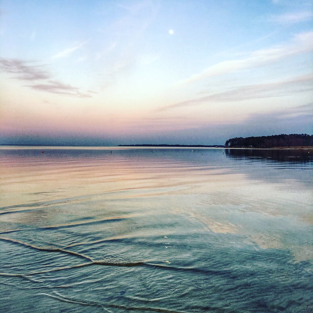
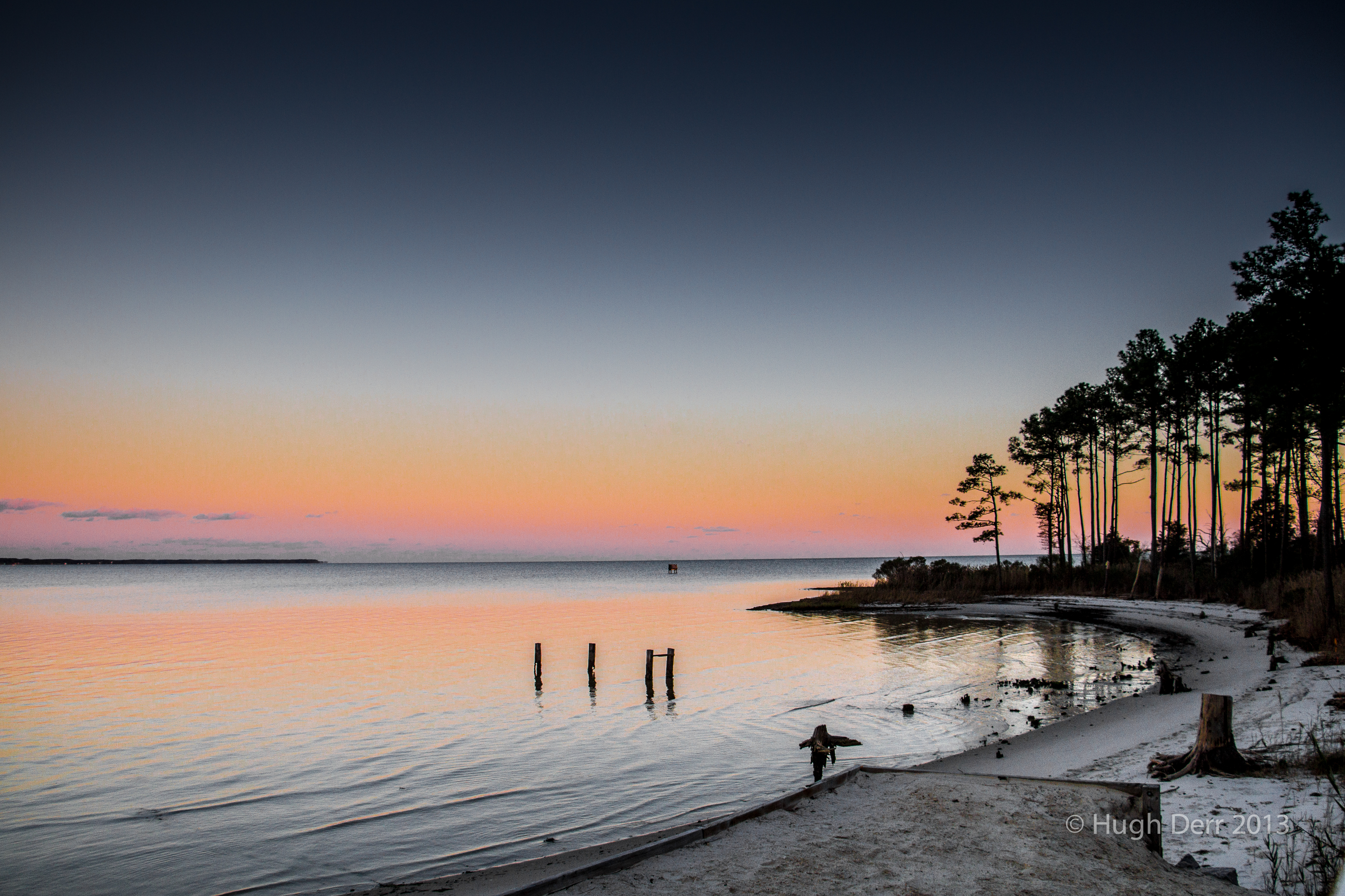
Sunset at Mobjack Bay
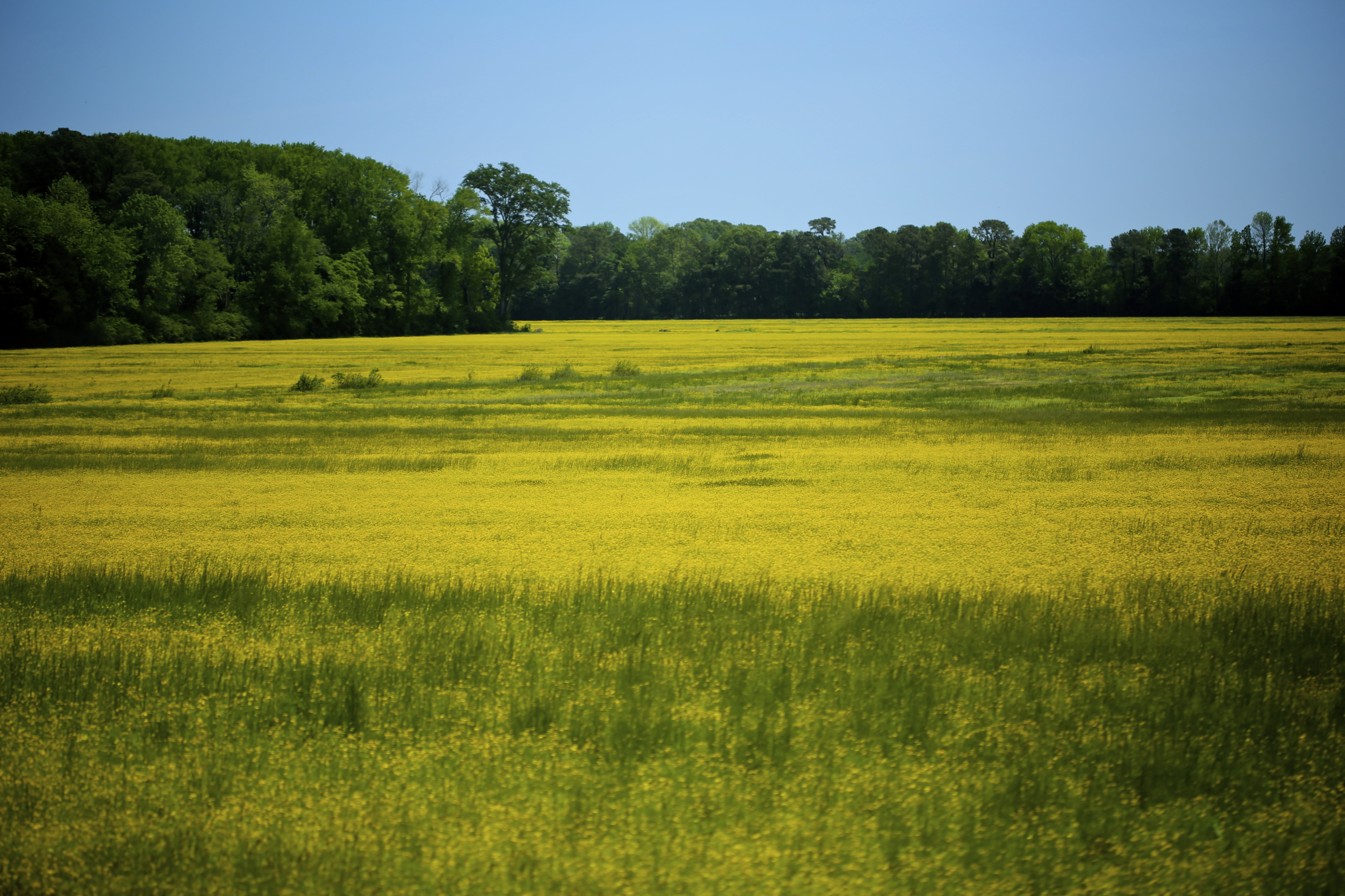
yellow fields
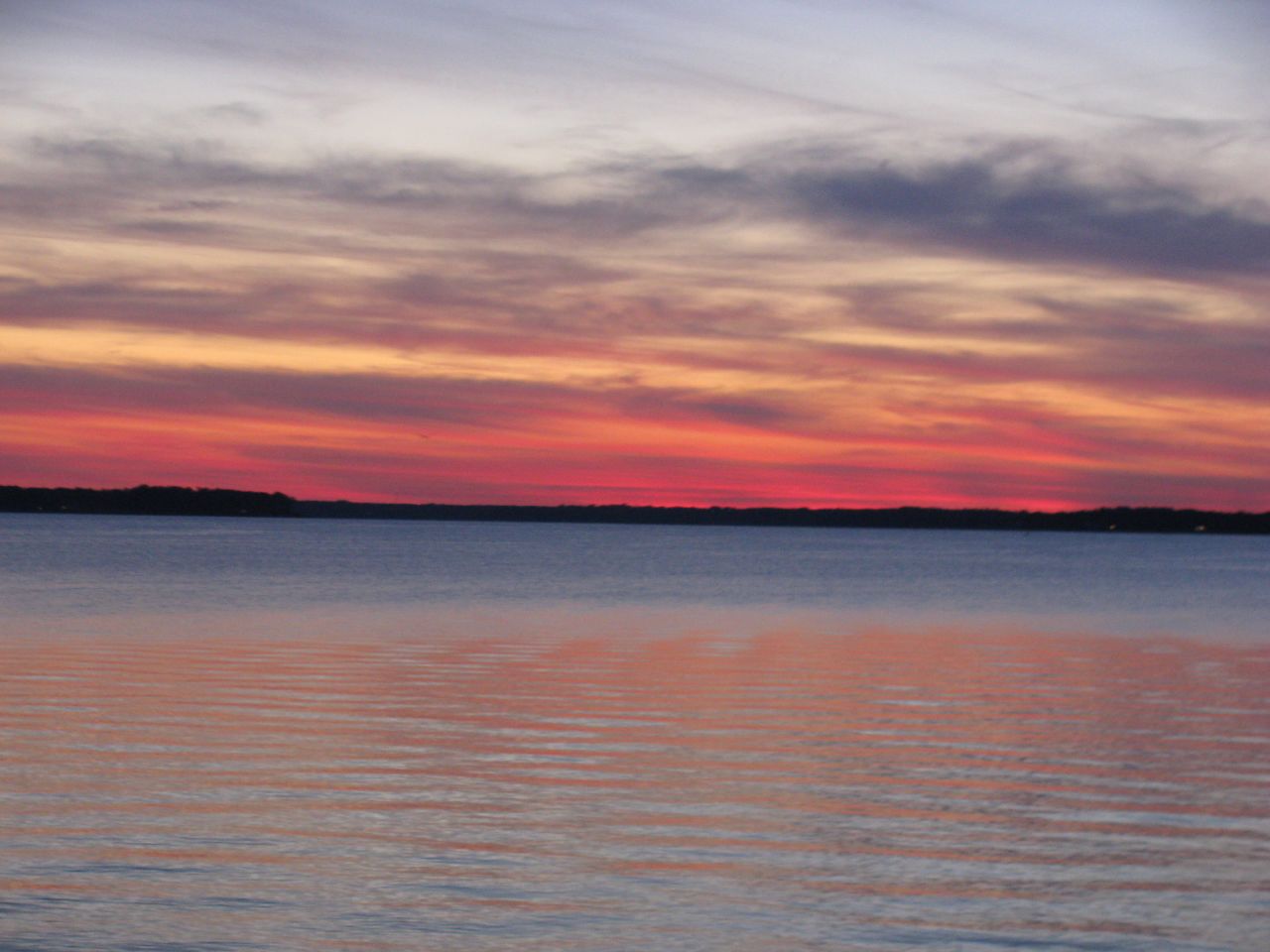
amazing colors

Fishing Bay, Deltaville, VA
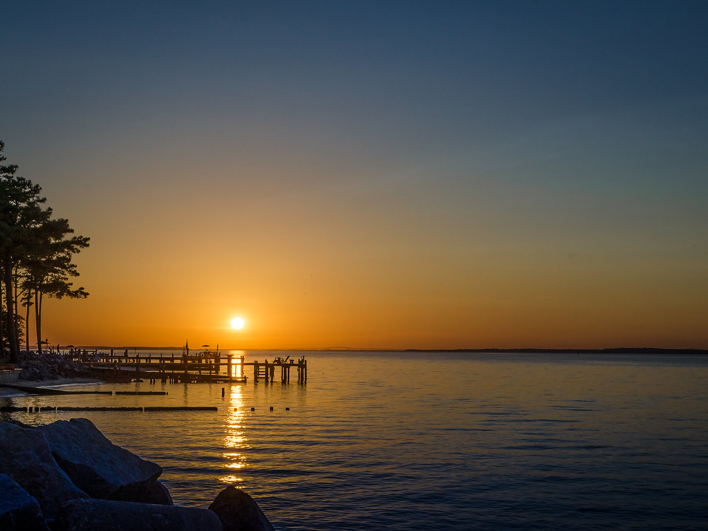
Sunday Sunrise
Stingray Point @ Night

new point comfort 15
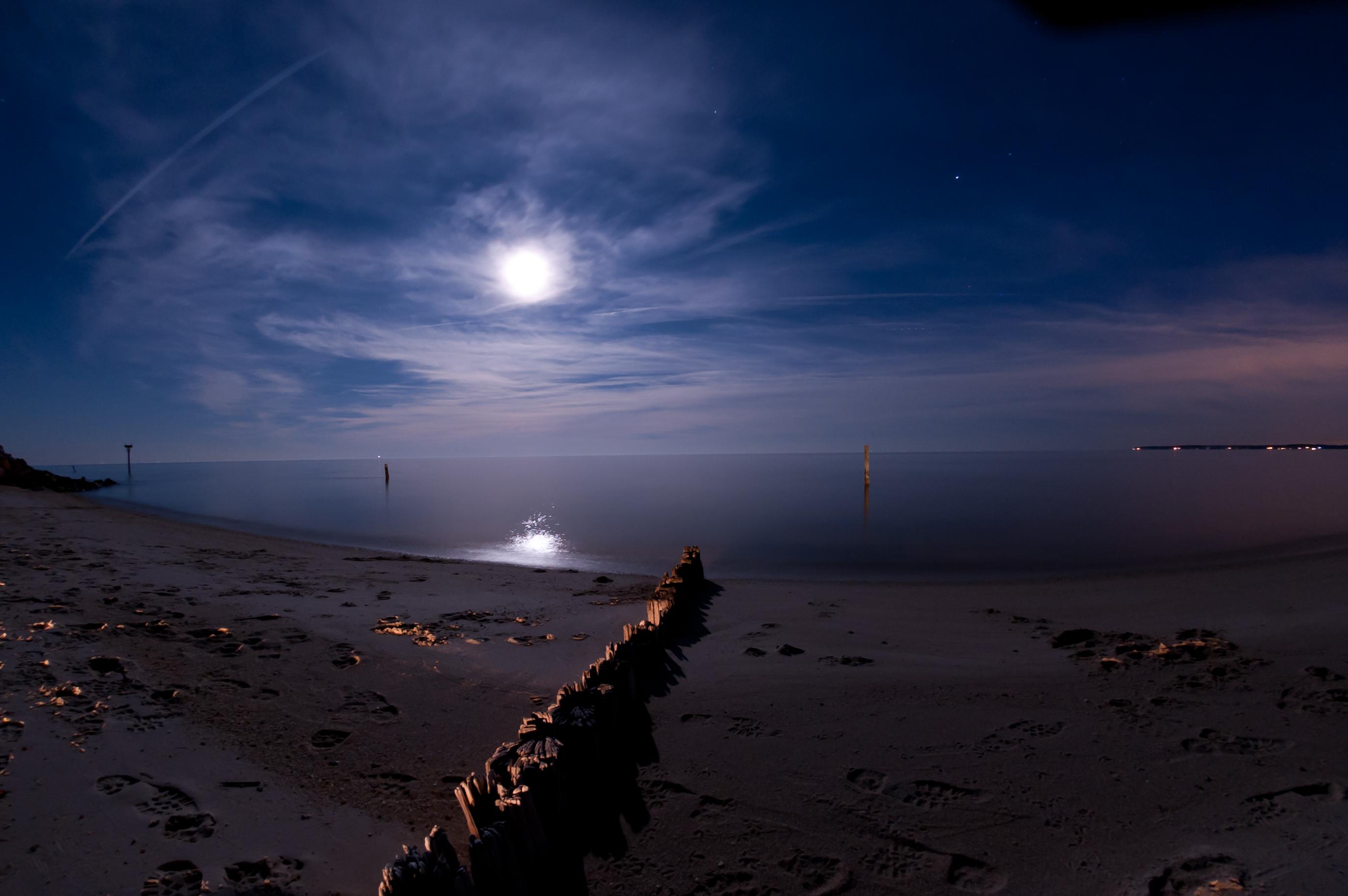
Night Photography at New Point Comfort
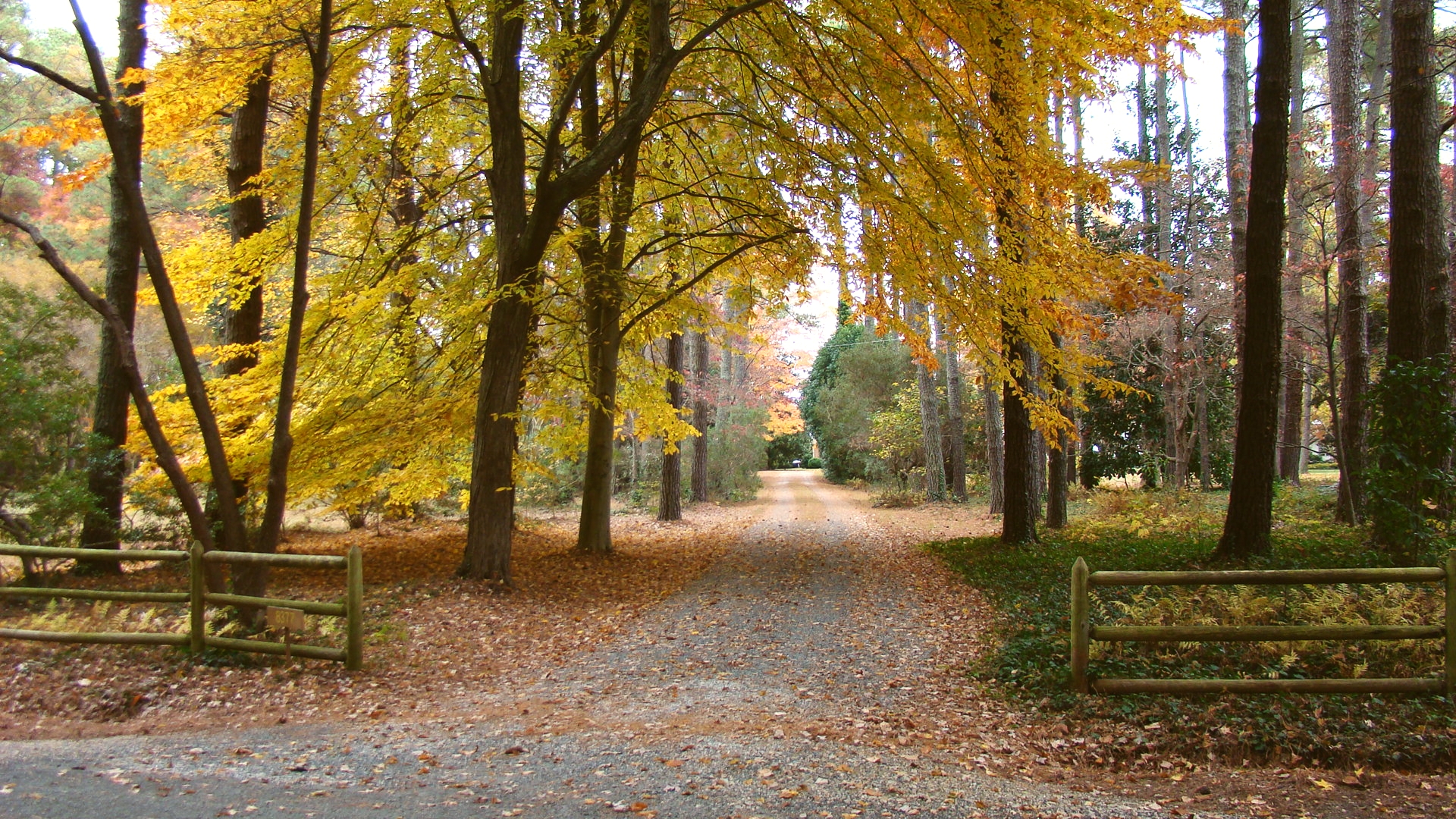
Puddledock driveway
Ware Neck 3
Topographic Map of Glebe Road, Glebe Rd, Mathews, VA, USA
Find elevation by address:

Places near Glebe Road, Glebe Rd, Mathews, VA, USA:
90 Irvinville Ln
Mathews
183 Main St
251 Parrish House Ln
331 Thurston Rd
215 Evans Rd
595 Tabernacle Rd
751 Tabernacle Rd
84 Jordan Ln
409 Sandberg Ln
East River Road
Bohannon
Mathews County
Port Haywood
617 North River Rd
407 Kings Creek Ln
E River Rd, Foster, VA, USA
Mobjack
Leaping Llama Lane
Susan
Recent Searches:
- Elevation of Corso Fratelli Cairoli, 35, Macerata MC, Italy
- Elevation of Tallevast Rd, Sarasota, FL, USA
- Elevation of 4th St E, Sonoma, CA, USA
- Elevation of Black Hollow Rd, Pennsdale, PA, USA
- Elevation of Oakland Ave, Williamsport, PA, USA
- Elevation of Pedrógão Grande, Portugal
- Elevation of Klee Dr, Martinsburg, WV, USA
- Elevation of Via Roma, Pieranica CR, Italy
- Elevation of Tavkvetili Mountain, Georgia
- Elevation of Hartfords Bluff Cir, Mt Pleasant, SC, USA