Elevation of Sycamore Rd, Pikeville, KY, USA
Location: United States > Kentucky > Pike County > Pikeville >
Longitude: -82.5462698
Latitude: 37.6297308
Elevation: 215m / 705feet
Barometric Pressure: 0KPa
Related Photos:

Butterfly Dreams

Pauley Bridge

Bald Cypresses

Cypress in Fall

Fall at Dewey Lake
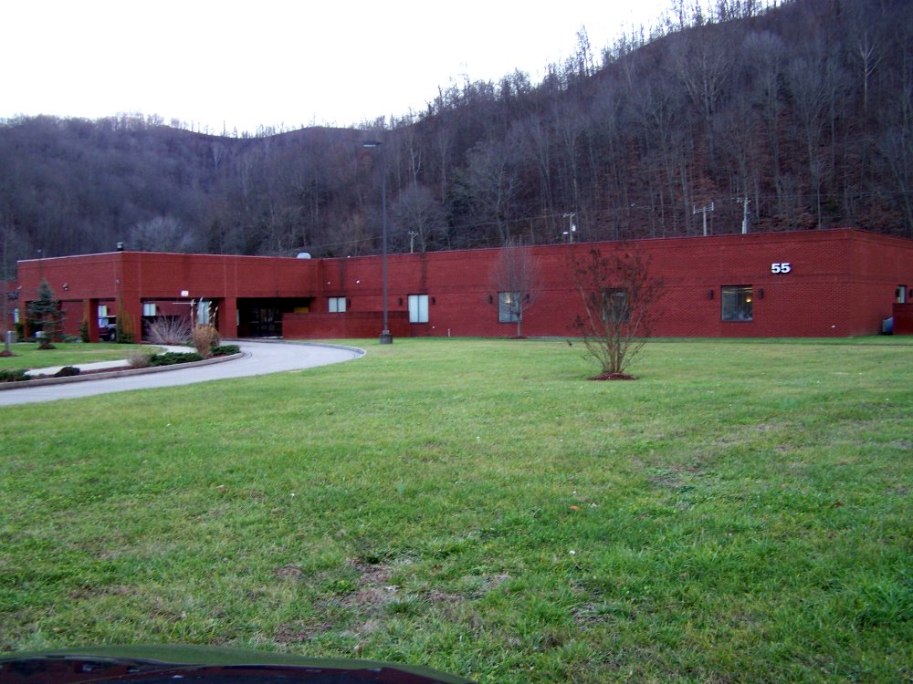
ACS Building Pikeville KY 1

Bridge 311-09

Bridge 547-09

US 119 Construction near Pikeville
US 119 Construction near Pikeville
Topographic Map of Sycamore Rd, Pikeville, KY, USA
Find elevation by address:

Places near Sycamore Rd, Pikeville, KY, USA:
7143 Joes Creek
32 R B Dr, Prestonsburg, KY, USA
N Mayo Trail, Pikeville, KY, USA
N Mayo Trail, Pikeville, KY, USA
2655 N Mayo Trail
German Bridge Campground
Ivel
US-23, Ivel, KY, USA
Pikeville
Martin County
9 Bob Amos Dr
Debord, KY, USA
Pike County
400 Harolds Branch
Island Creek Rd, Pikeville, KY, USA
Airport Road
Grethel
Usp Big Sandy
S Mayo Trail, Pikeville, KY, USA
Allen-banner Road
Recent Searches:
- Elevation map of Greenland, Greenland
- Elevation of Sullivan Hill, New York, New York, 10002, USA
- Elevation of Morehead Road, Withrow Downs, Charlotte, Mecklenburg County, North Carolina, 28262, USA
- Elevation of 2800, Morehead Road, Withrow Downs, Charlotte, Mecklenburg County, North Carolina, 28262, USA
- Elevation of Yangbi Yi Autonomous County, Yunnan, China
- Elevation of Pingpo, Yangbi Yi Autonomous County, Yunnan, China
- Elevation of Mount Malong, Pingpo, Yangbi Yi Autonomous County, Yunnan, China
- Elevation map of Yongping County, Yunnan, China
- Elevation of North 8th Street, Palatka, Putnam County, Florida, 32177, USA
- Elevation of 107, Big Apple Road, East Palatka, Putnam County, Florida, 32131, USA
- Elevation of Jiezi, Chongzhou City, Sichuan, China
- Elevation of Chongzhou City, Sichuan, China
- Elevation of Huaiyuan, Chongzhou City, Sichuan, China
- Elevation of Qingxia, Chengdu, Sichuan, China
- Elevation of Corso Fratelli Cairoli, 35, Macerata MC, Italy
- Elevation of Tallevast Rd, Sarasota, FL, USA
- Elevation of 4th St E, Sonoma, CA, USA
- Elevation of Black Hollow Rd, Pennsdale, PA, USA
- Elevation of Oakland Ave, Williamsport, PA, USA
- Elevation of Pedrógão Grande, Portugal