Elevation of Martin County, KY, USA
Location: United States > Kentucky >
Longitude: -82.518583
Latitude: 37.7833756
Elevation: 313m / 1027feet
Barometric Pressure: 98KPa
Elevation Map:
Satellite Map:
Related Photos:
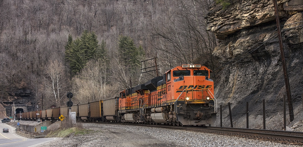
BNSF in catfish country
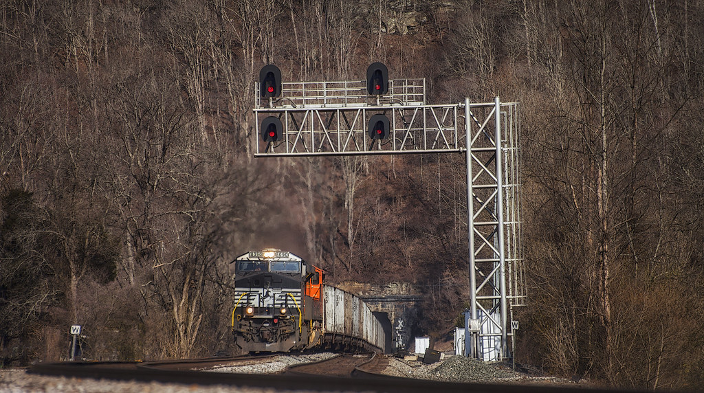
Long view to a short tunnel

Reunion_2007 158

_DSC4276.jpg

_DSC4010.jpg

_DSC3862.jpg

_DSC1220.jpg

_DSC3337.jpg

_DSC1298.jpg

_DSC1223.jpg
Topographic Map of Martin County, KY, USA
Find elevation by address:

Places in Martin County, KY, USA:
Places near Martin County, KY, USA:
Debord
32 Main St, Inez, KY, USA
Inez
Pilgrim
State Hwy, Pilgrim, KY, USA
Debord, KY, USA
Webb Street
Lovely
Kermit
Usp Big Sandy
899 Lick Branch Of Rockcastle Crek Rd
Airport Road
Stonecoal
Tug River Road
235 Sycamore Rd
German Bridge Campground
32 R B Dr, Prestonsburg, KY, USA
Loretta Lynn Homeplace
Highway 1690
7143 Joes Creek
Recent Searches:
- Elevation of Corso Fratelli Cairoli, 35, Macerata MC, Italy
- Elevation of Tallevast Rd, Sarasota, FL, USA
- Elevation of 4th St E, Sonoma, CA, USA
- Elevation of Black Hollow Rd, Pennsdale, PA, USA
- Elevation of Oakland Ave, Williamsport, PA, USA
- Elevation of Pedrógão Grande, Portugal
- Elevation of Klee Dr, Martinsburg, WV, USA
- Elevation of Via Roma, Pieranica CR, Italy
- Elevation of Tavkvetili Mountain, Georgia
- Elevation of Hartfords Bluff Cir, Mt Pleasant, SC, USA