Elevation of Kermit, WV, USA
Location: United States > West Virginia > Mingo County > Kermit Harvey >
Longitude: -82.409313
Latitude: 37.8437074
Elevation: 193m / 633feet
Barometric Pressure: 99KPa
Elevation Map:
Satellite Map:
Related Photos:
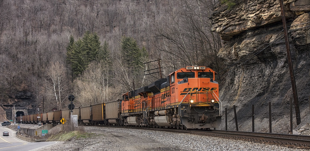
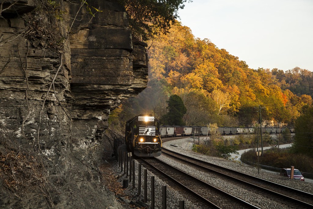
BNSF in catfish country
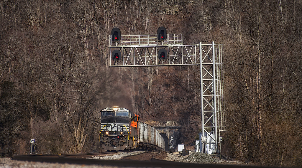
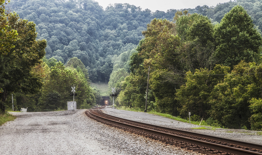
Long view to a short tunnel
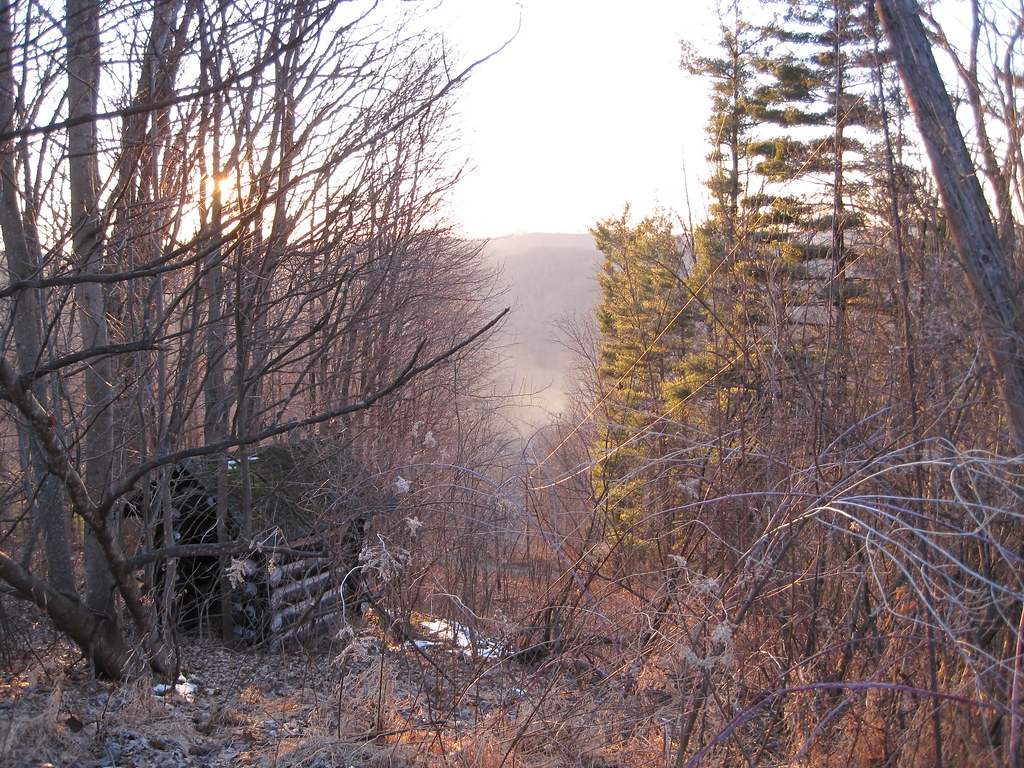
View from Tick Ridge
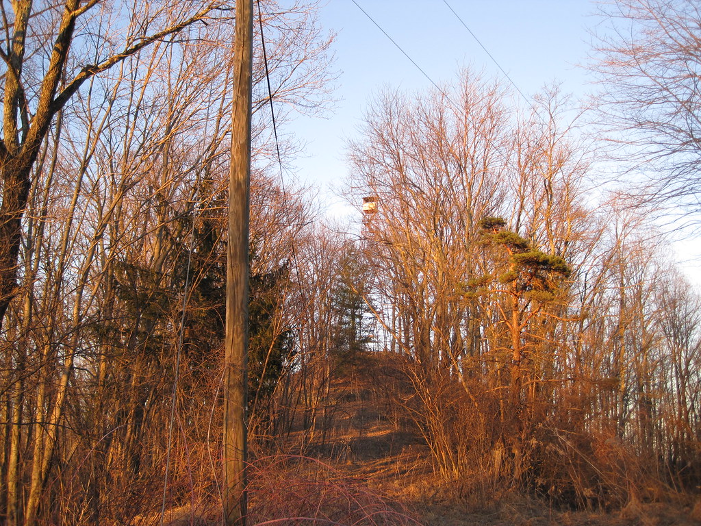
Tick Ridge Fire Tower

Reunion_2007 158

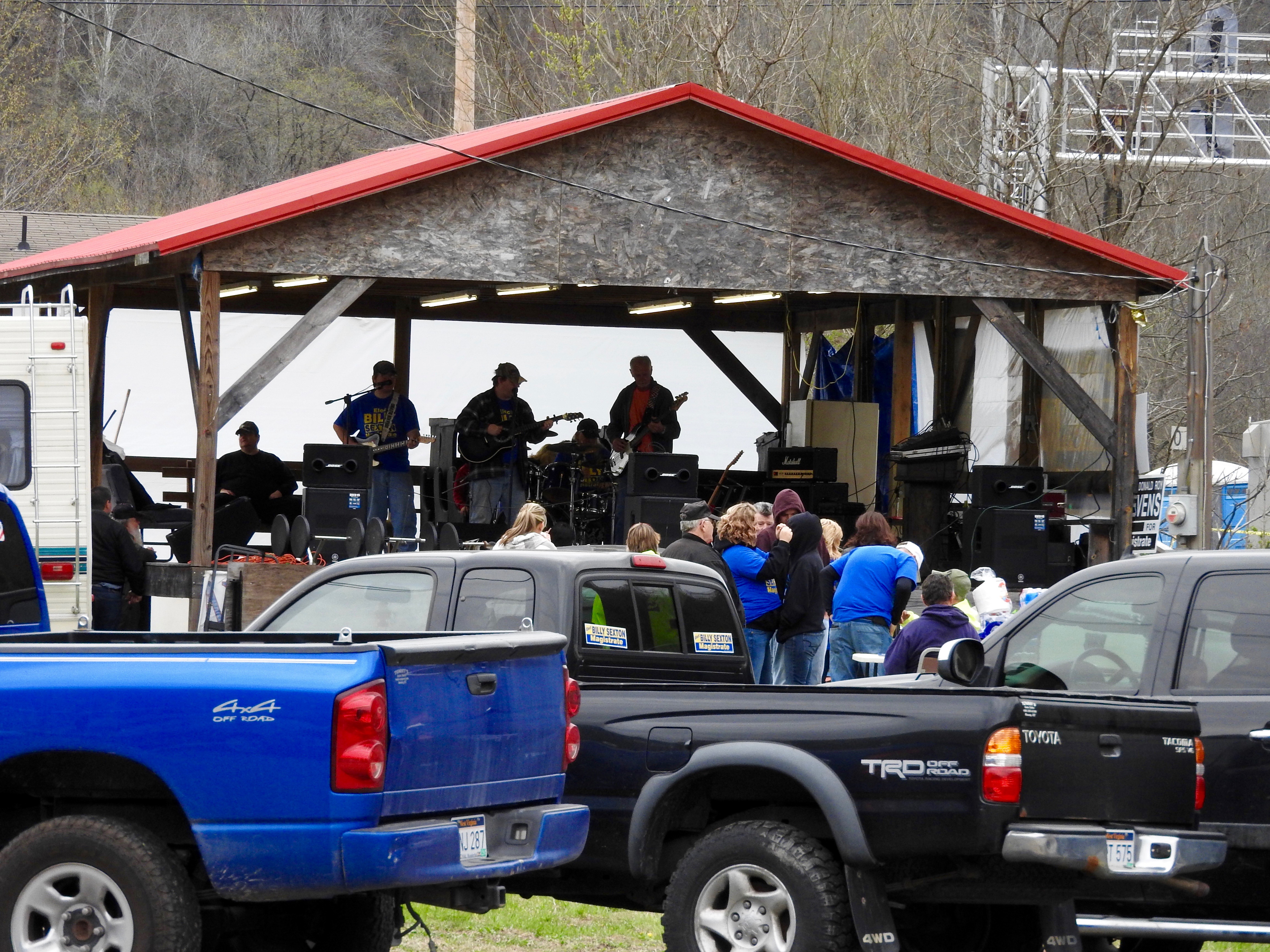
Wild and Wonderful; WV
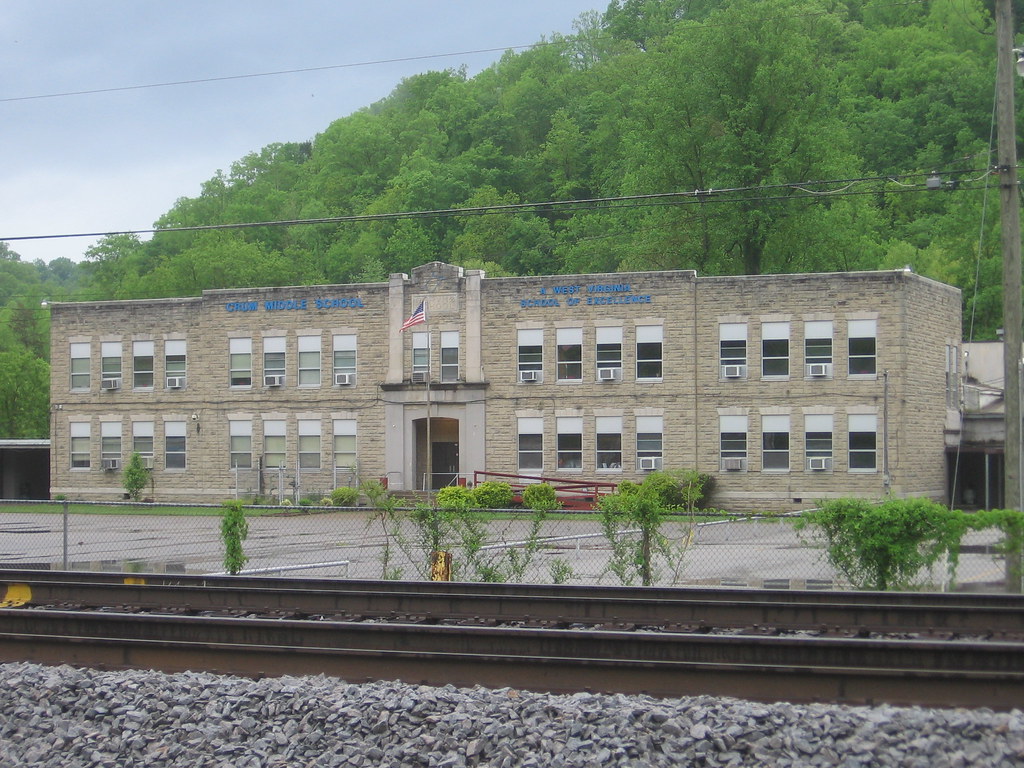
Crum Middle School
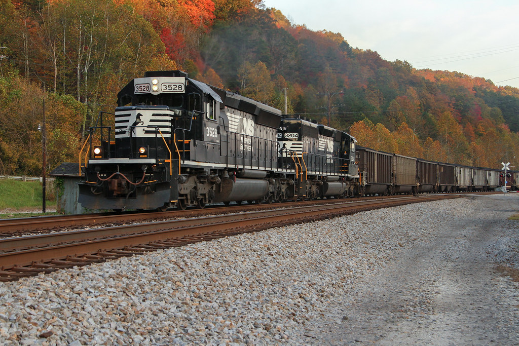
NS 80G @ Crum, WV
Nolan Toll Bridge
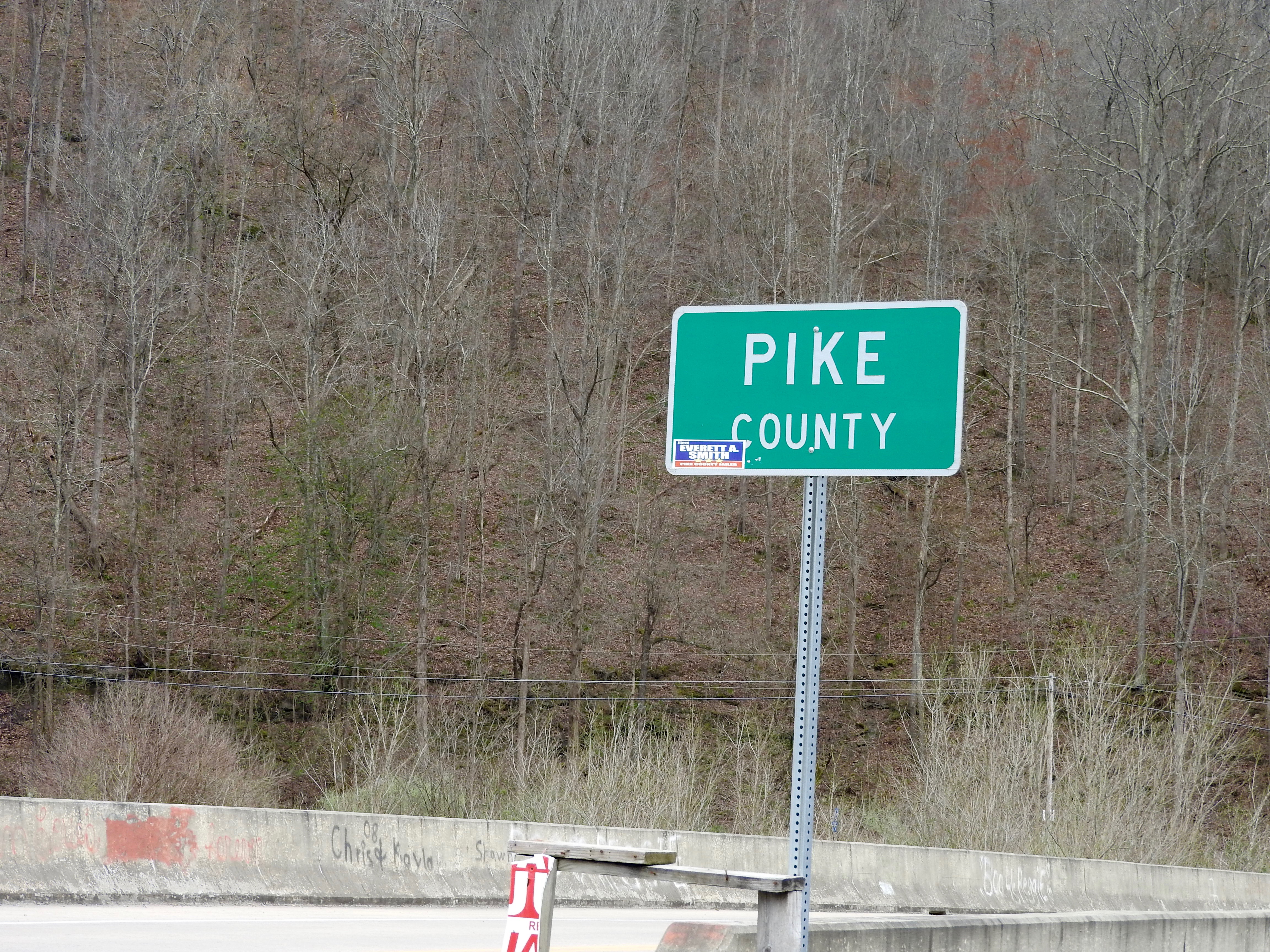
Pike County Line
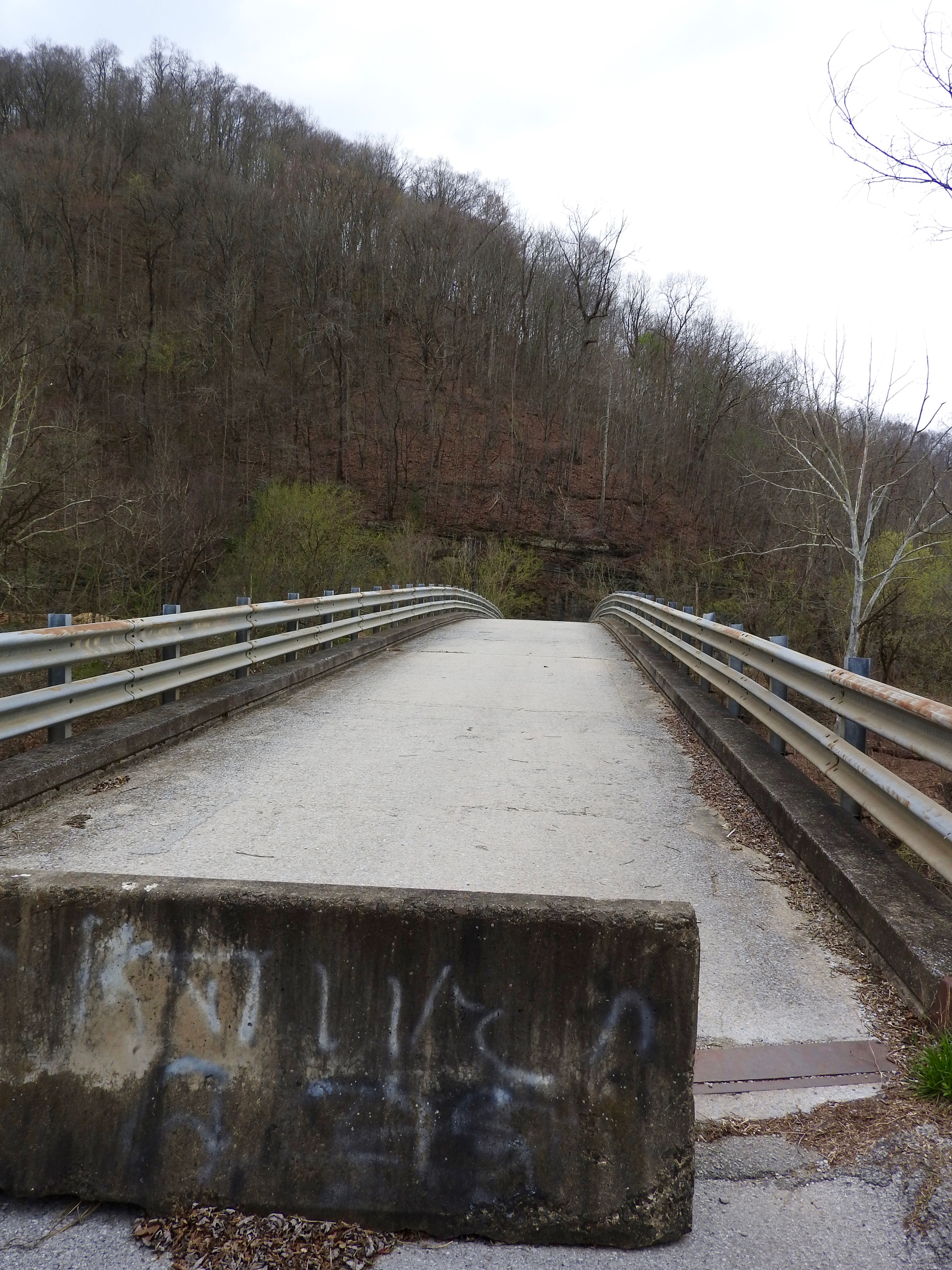
Nolan Toll Bridge
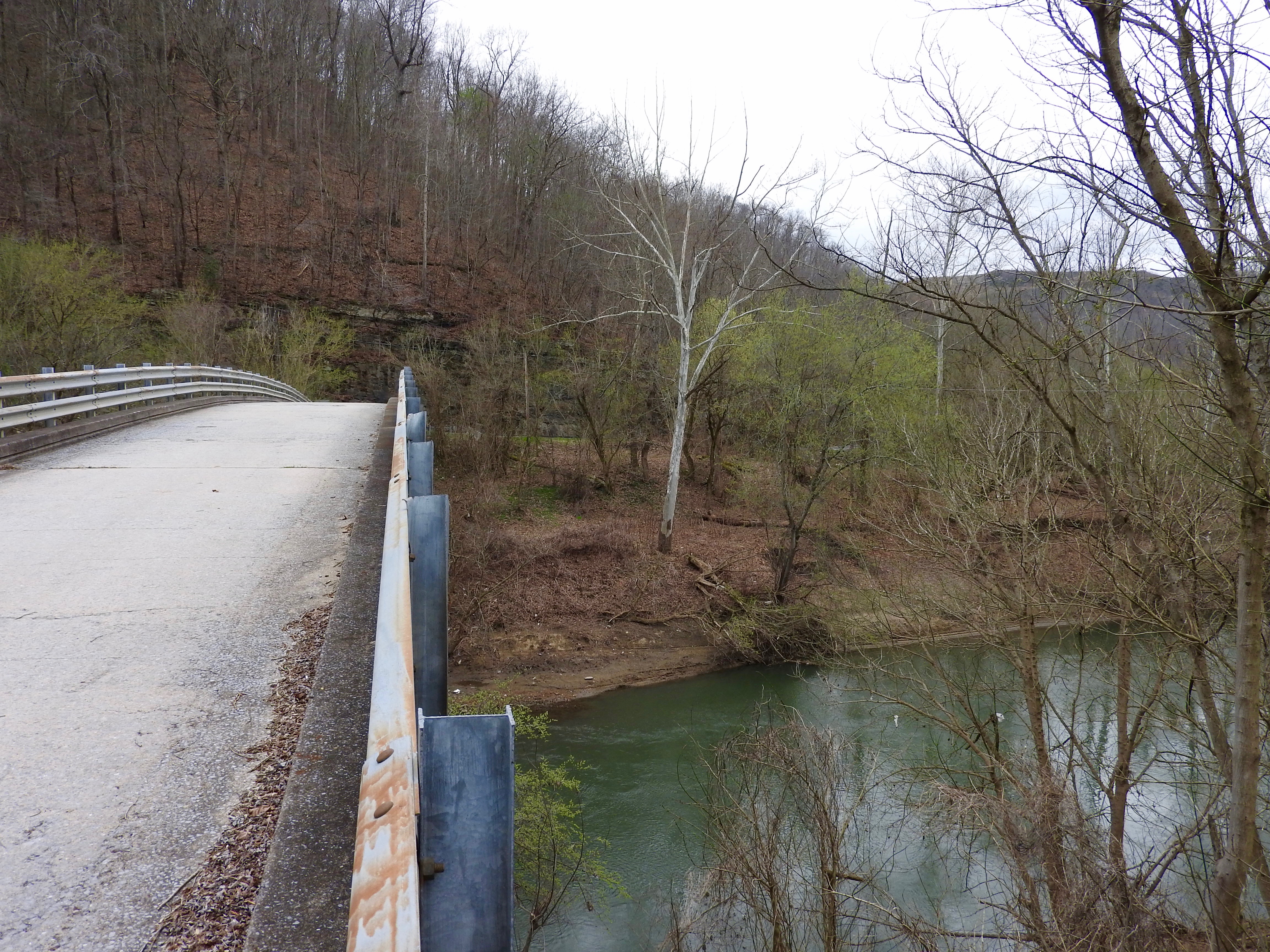
Nolan Toll Bridge
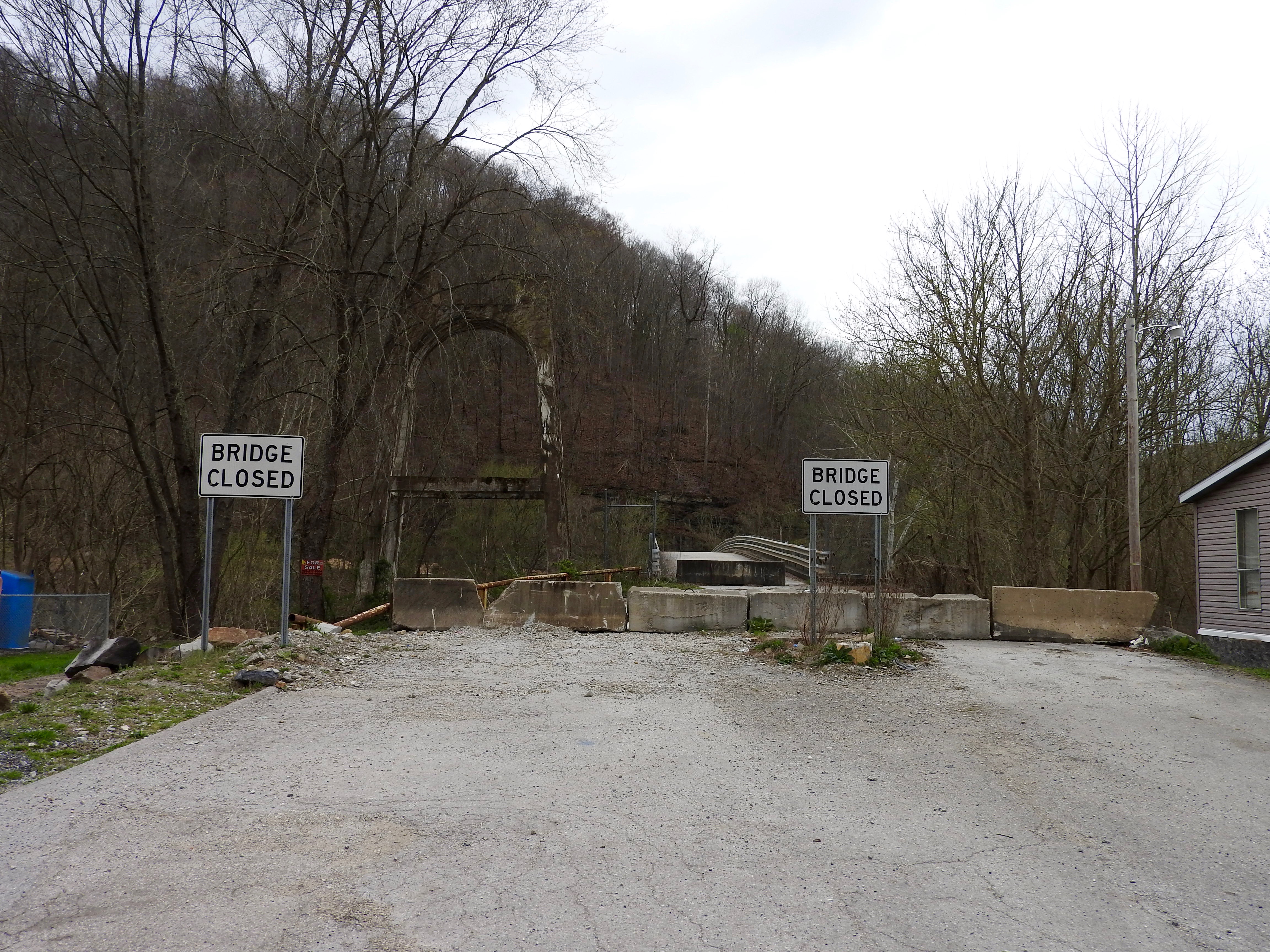
Nolan Toll Bridge
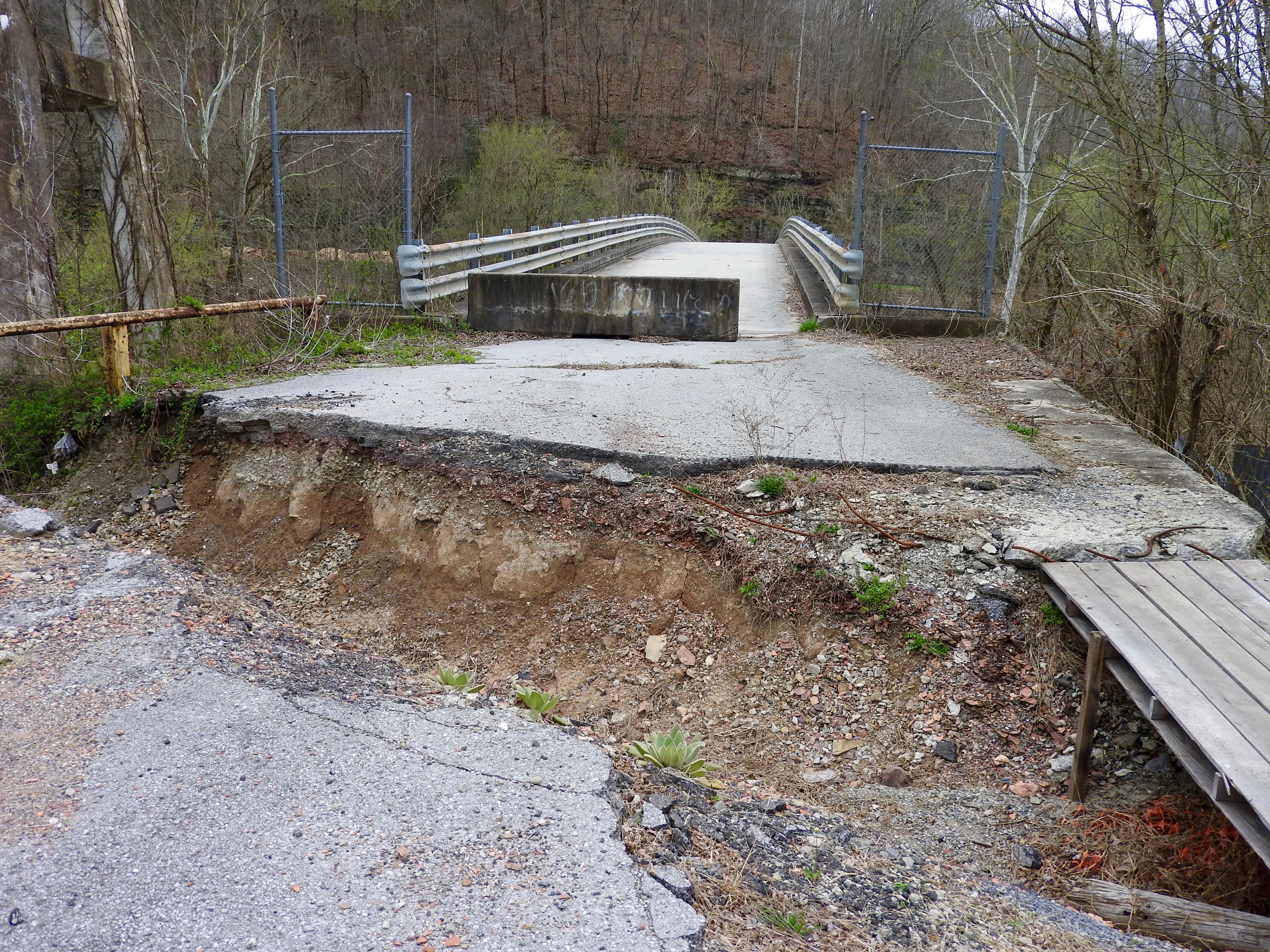
Nolan Toll Bridge

Norfolk and Western 611 Webb, WV 1994
NS 80G @ Naugatuck
NS 80G @ Grey Eagle
NS 80G @ Nolan
NS 746 @ Nolan
NS 80T
wait for it

Norfolk Southern

Norfolk Southern

Norfolk Southern

Norfolk Southern
Topographic Map of Kermit, WV, USA
Find elevation by address:

Places near Kermit, WV, USA:
Lovely
Webb Street
Stonecoal
Pilgrim
State Hwy, Pilgrim, KY, USA
872 Wv-65
872 Wv-65
13 Ajax Branch, Williamson, WV, USA
Tug River Road
Martin County
Inez
32 Main St, Inez, KY, USA
Debord
77 Laurel Crk, Lenore, WV, USA
899 Lick Branch Of Rockcastle Crek Rd
21 Deskins Dr, Williamson, WV, USA
Tug Hardee
Winifrede St, Borderland, WV, USA
22 Breeden Crk, Breeden, WV, USA
440 Hurricane Branch Rd
Recent Searches:
- Elevation of Corso Fratelli Cairoli, 35, Macerata MC, Italy
- Elevation of Tallevast Rd, Sarasota, FL, USA
- Elevation of 4th St E, Sonoma, CA, USA
- Elevation of Black Hollow Rd, Pennsdale, PA, USA
- Elevation of Oakland Ave, Williamsport, PA, USA
- Elevation of Pedrógão Grande, Portugal
- Elevation of Klee Dr, Martinsburg, WV, USA
- Elevation of Via Roma, Pieranica CR, Italy
- Elevation of Tavkvetili Mountain, Georgia
- Elevation of Hartfords Bluff Cir, Mt Pleasant, SC, USA