Elevation of Kermit Harvey, WV, USA
Location: United States > West Virginia > Mingo County >
Longitude: -82.2365981
Latitude: 37.9128139
Elevation: 340m / 1115feet
Barometric Pressure: 0KPa
Related Photos:
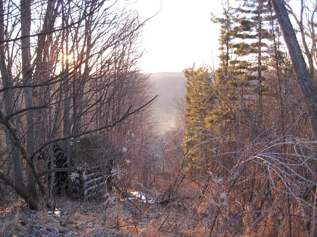
View from Tick Ridge
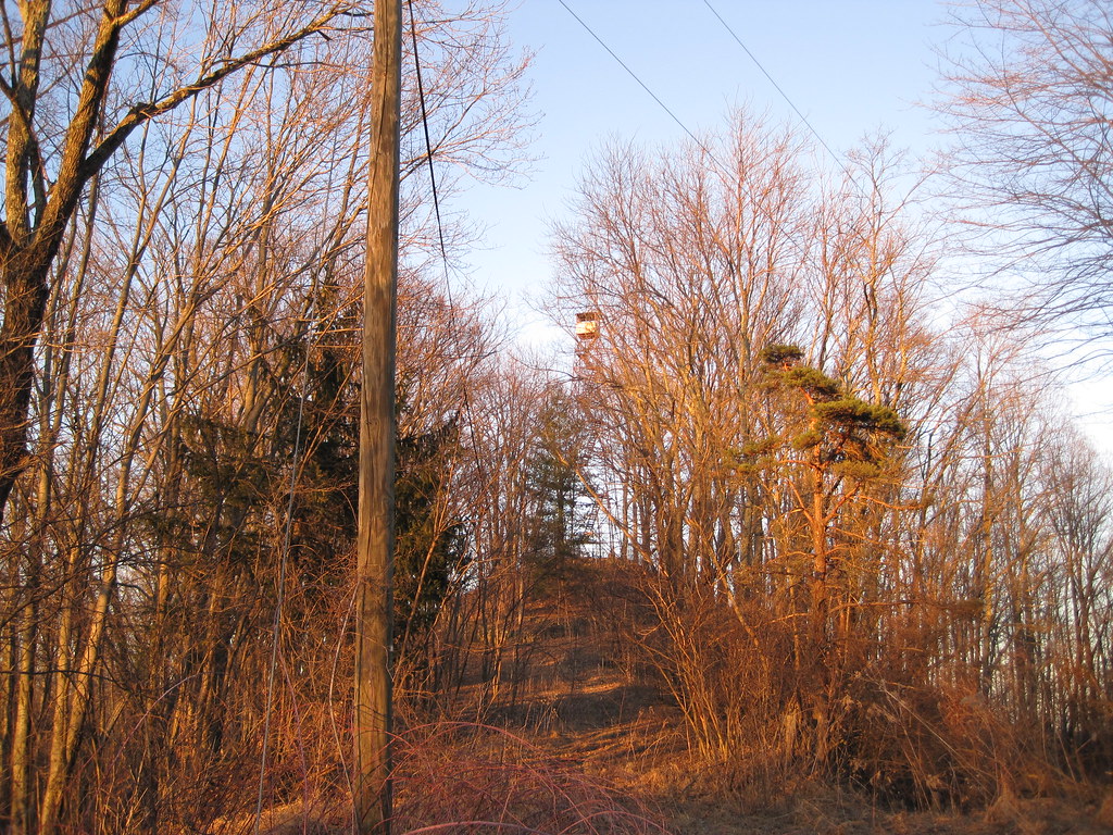
Tick Ridge Fire Tower
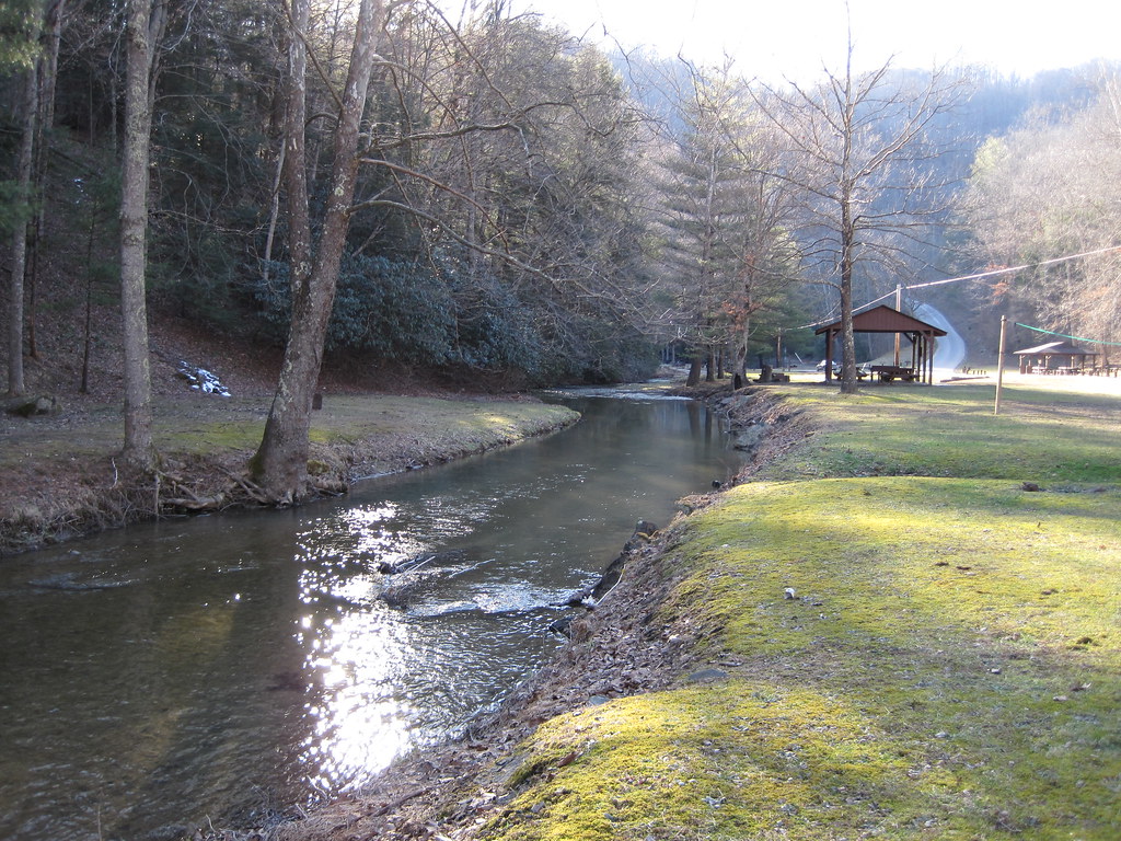
Laurel Fork
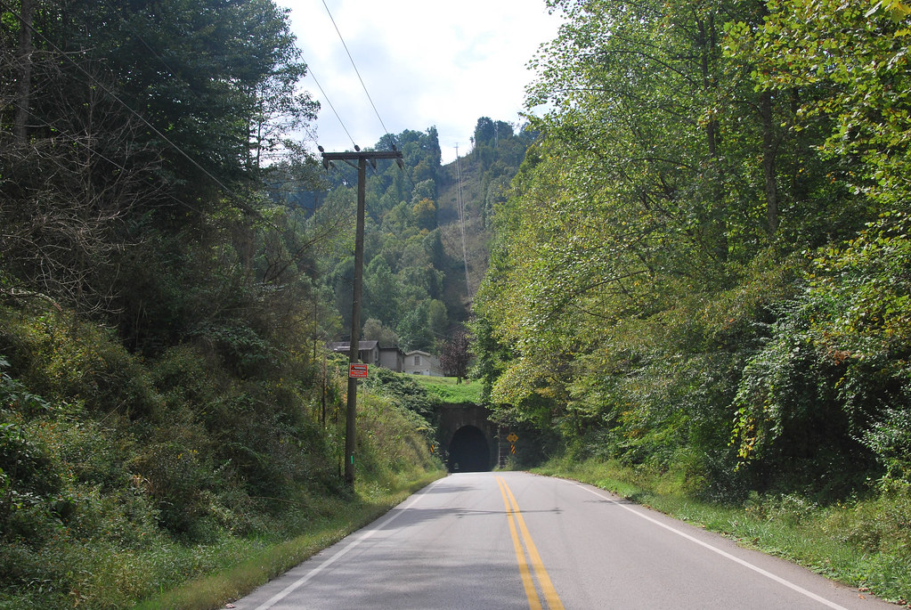
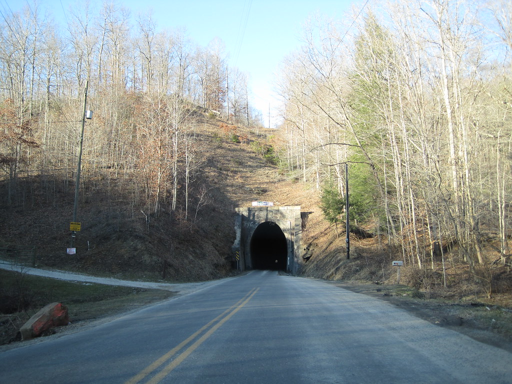
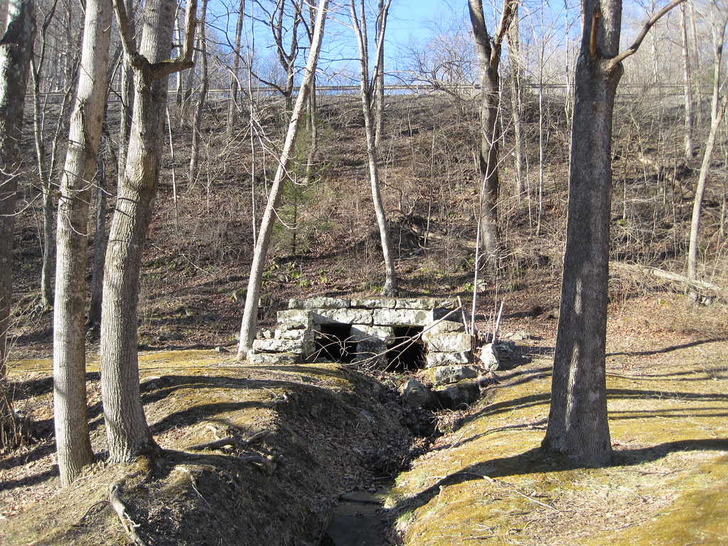
Dingess Tunnel
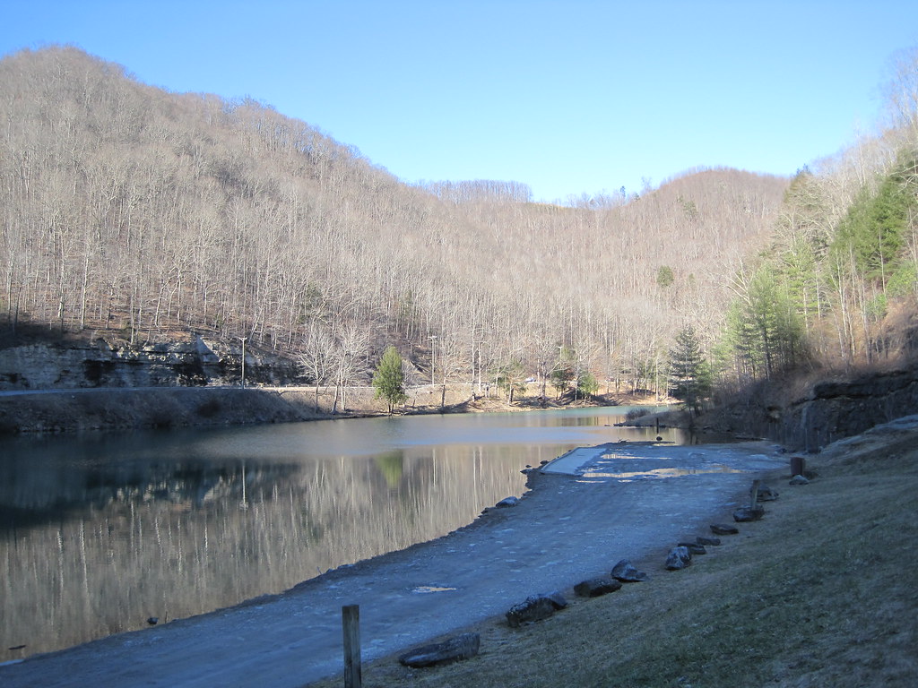
Laurel Lake

Bench At The Lake

Picnic Pringles
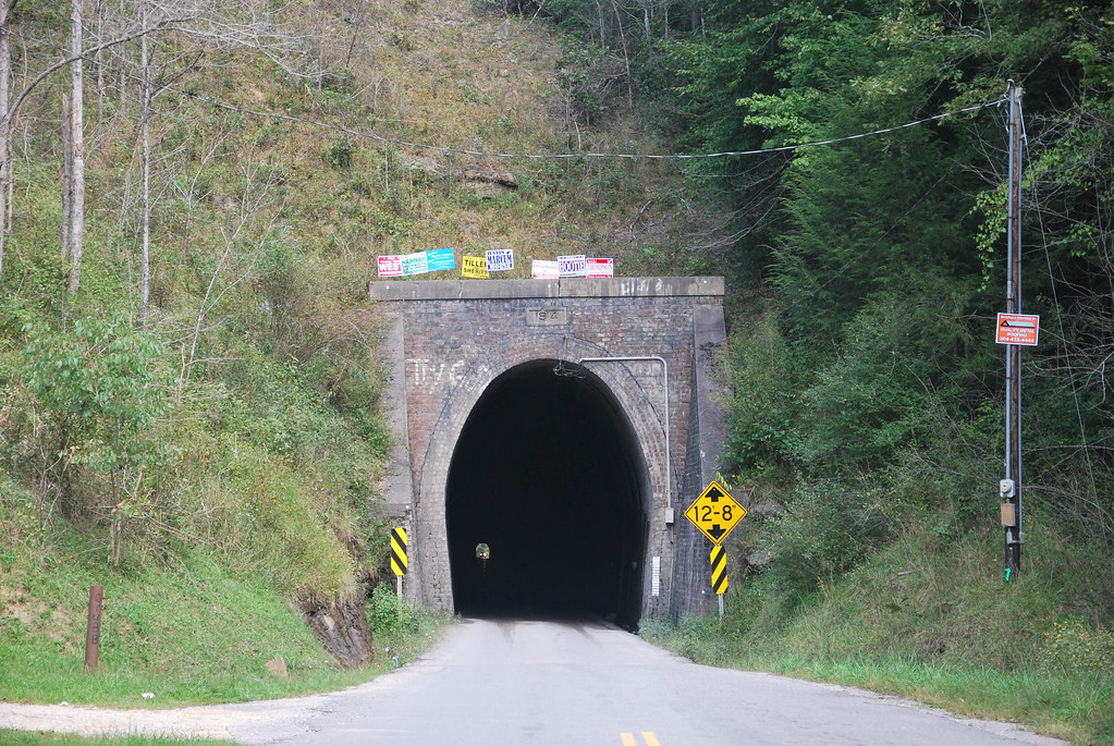
Dingess Tunnel
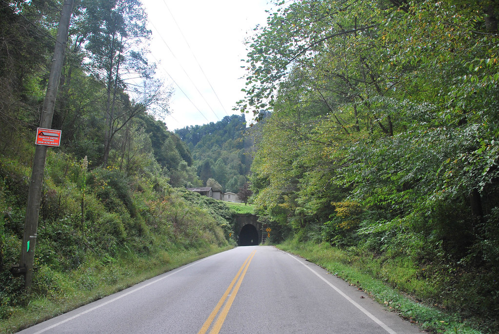
Dingess Tunnel

Sunoco station (3/4)

Sunoco station (2/4)

Sunoco station (1/4)
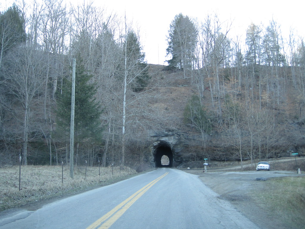
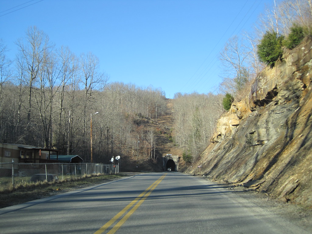
Breeden Tunnel
Dingess Tunnel

Dingess Tunnel
Dingess Tunnel
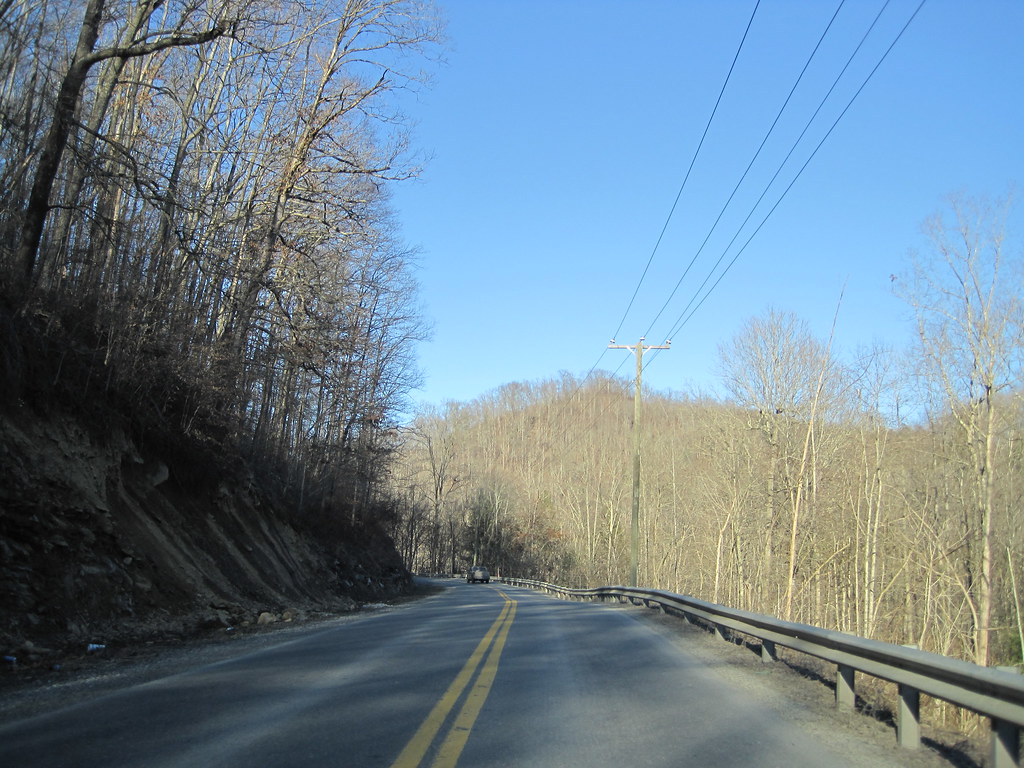
Mingo CR 3/5
Mingo CR 3/5
N&W Twelvepole Line Stone Culvert
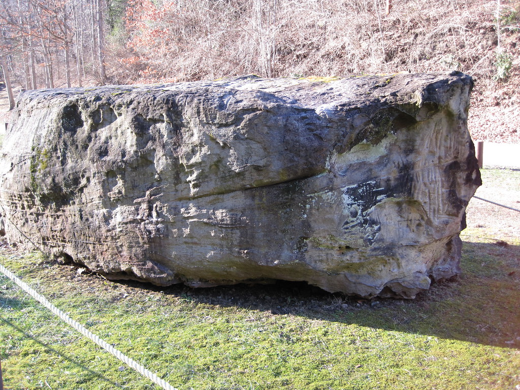
Dingess Petroglyphs
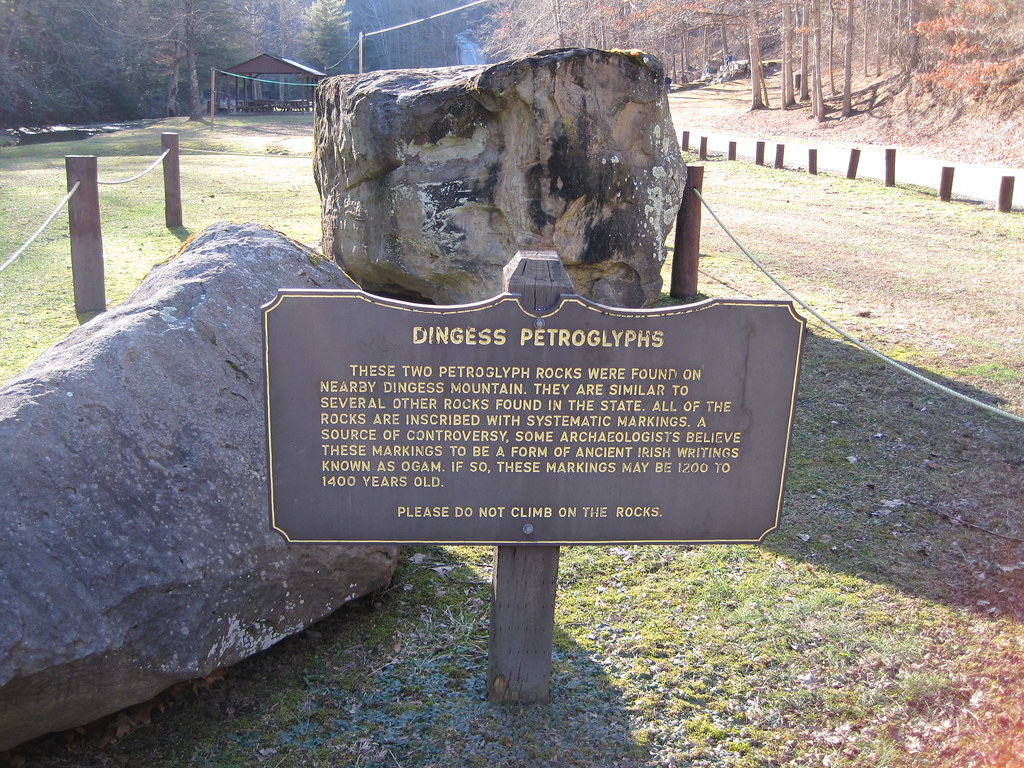
Dingess Petroglyphs
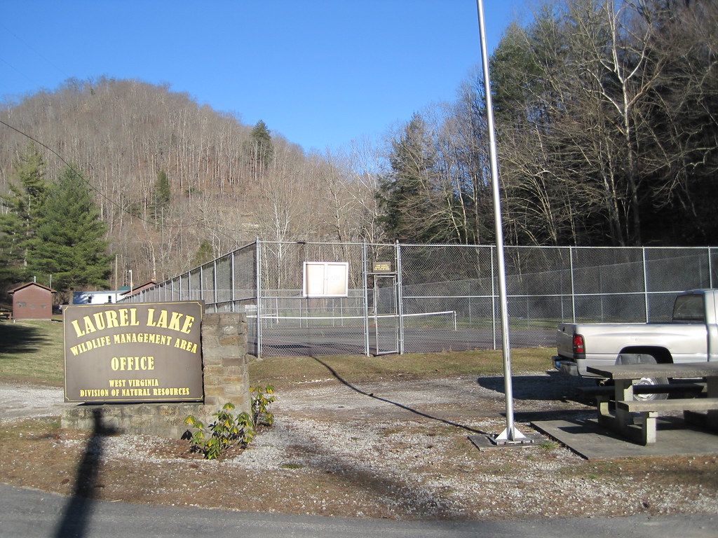
Laurel Lake WMA

Laurel Fork
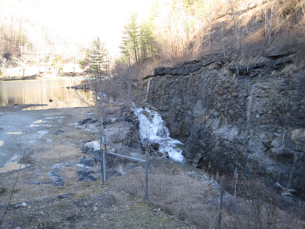
Laurel Lake Spillway
Topographic Map of Kermit Harvey, WV, USA
Find elevation by address:

Places in Kermit Harvey, WV, USA:
Places near Kermit Harvey, WV, USA:
91 Dingess Rd, Dingess, WV, USA
22 Breeden Crk, Breeden, WV, USA
Dingess
77 Laurel Crk, Lenore, WV, USA
13 Ajax Branch, Williamson, WV, USA
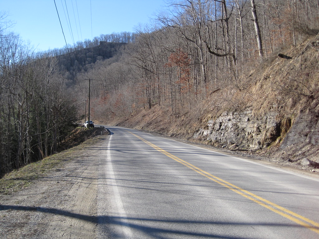
872 Wv-65
872 Wv-65
Mingo County
Tug Hardee
Shively, WV, USA
48 Old Delta 48 Rd, Holden, WV, USA
Stonecoal
Lower Curry Cemetery
Kermit
Lovely
Webb Street
Lee
Holden
21 Deskins Dr, Williamson, WV, USA
Mount Gay-shamrock
Recent Searches:
- Elevation map of Greenland, Greenland
- Elevation of Sullivan Hill, New York, New York, 10002, USA
- Elevation of Morehead Road, Withrow Downs, Charlotte, Mecklenburg County, North Carolina, 28262, USA
- Elevation of 2800, Morehead Road, Withrow Downs, Charlotte, Mecklenburg County, North Carolina, 28262, USA
- Elevation of Yangbi Yi Autonomous County, Yunnan, China
- Elevation of Pingpo, Yangbi Yi Autonomous County, Yunnan, China
- Elevation of Mount Malong, Pingpo, Yangbi Yi Autonomous County, Yunnan, China
- Elevation map of Yongping County, Yunnan, China
- Elevation of North 8th Street, Palatka, Putnam County, Florida, 32177, USA
- Elevation of 107, Big Apple Road, East Palatka, Putnam County, Florida, 32131, USA
- Elevation of Jiezi, Chongzhou City, Sichuan, China
- Elevation of Chongzhou City, Sichuan, China
- Elevation of Huaiyuan, Chongzhou City, Sichuan, China
- Elevation of Qingxia, Chengdu, Sichuan, China
- Elevation of Corso Fratelli Cairoli, 35, Macerata MC, Italy
- Elevation of Tallevast Rd, Sarasota, FL, USA
- Elevation of 4th St E, Sonoma, CA, USA
- Elevation of Black Hollow Rd, Pennsdale, PA, USA
- Elevation of Oakland Ave, Williamsport, PA, USA
- Elevation of Pedrógão Grande, Portugal