Elevation of Sycamore, KS, USA
Location: United States > Kansas > Butler County >
Longitude: -96.642433
Latitude: 38.023685
Elevation: 450m / 1476feet
Barometric Pressure: 96KPa
Elevation Map:
Satellite Map:
Related Photos:
Teeter Rock Enhanced Panorama
Roadside Views
Roadside Views
Roadside Views
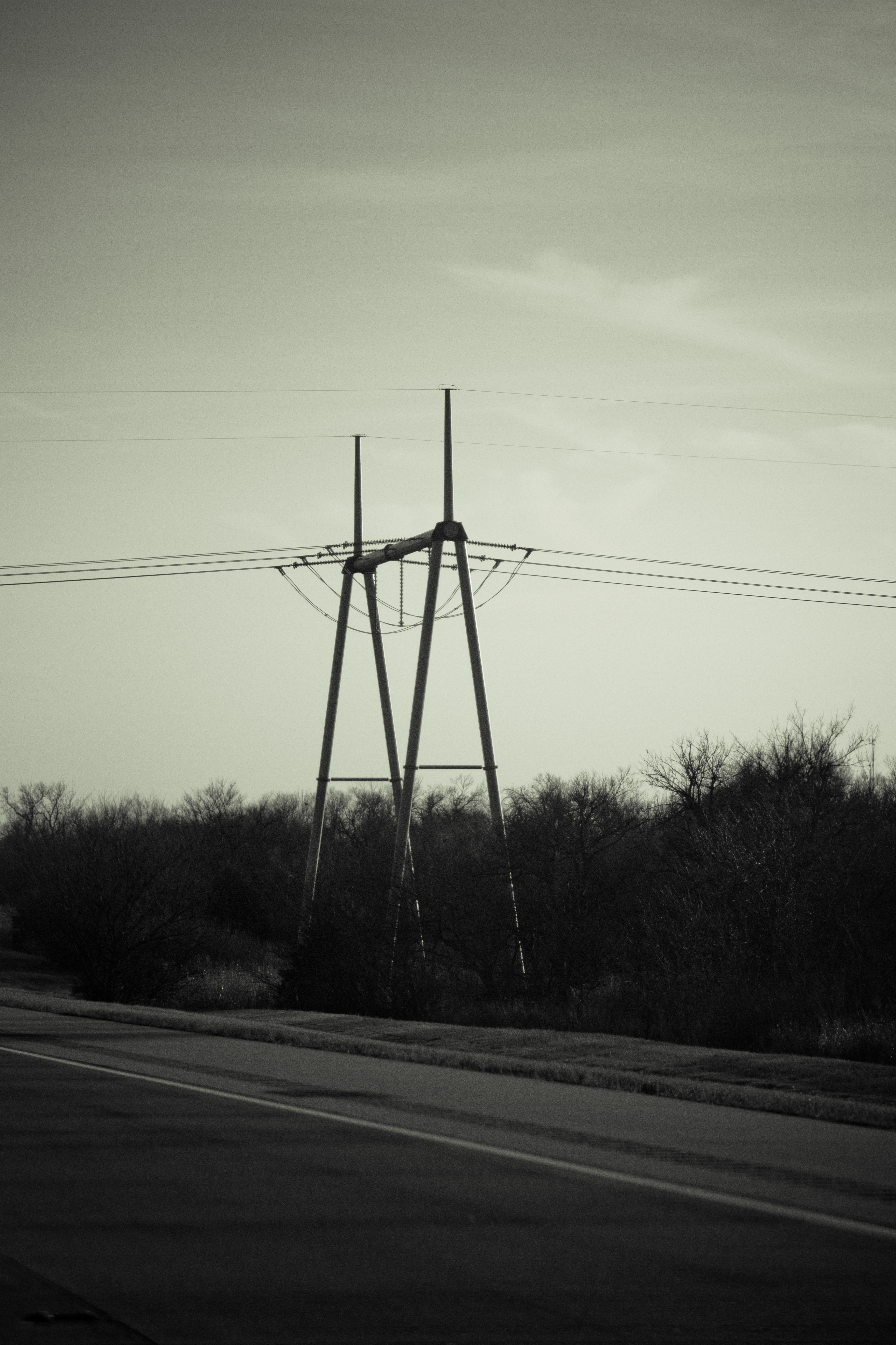
Roadside Views
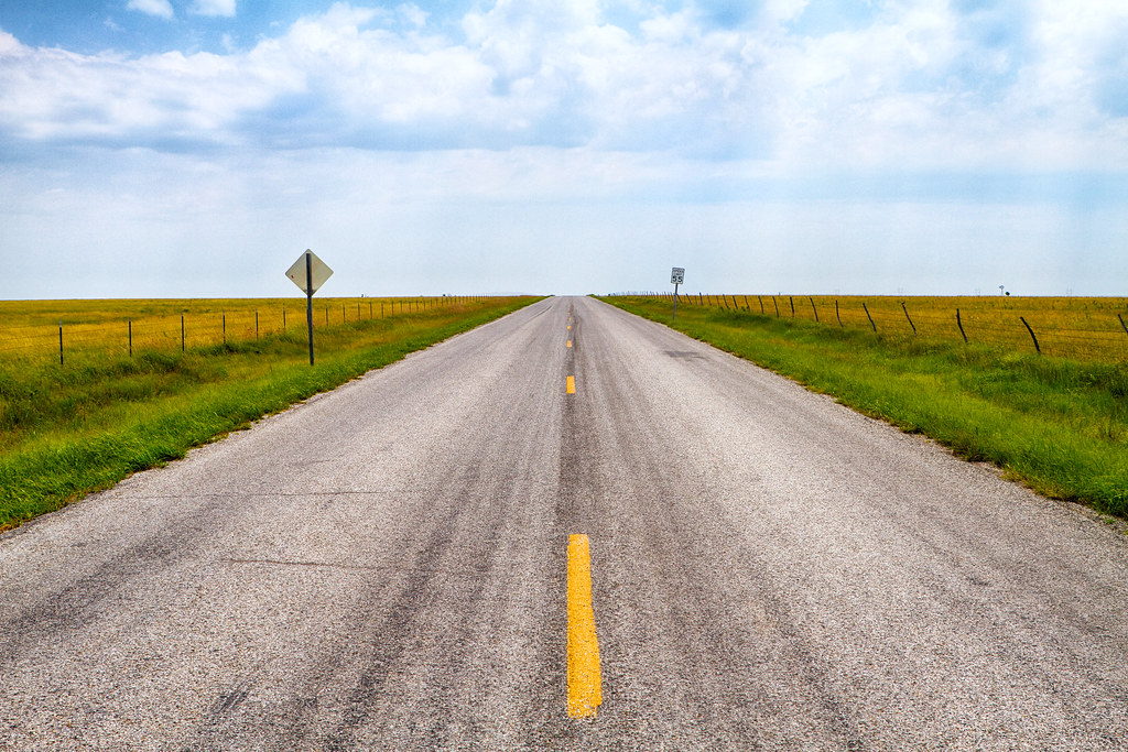
Road to Nowhere
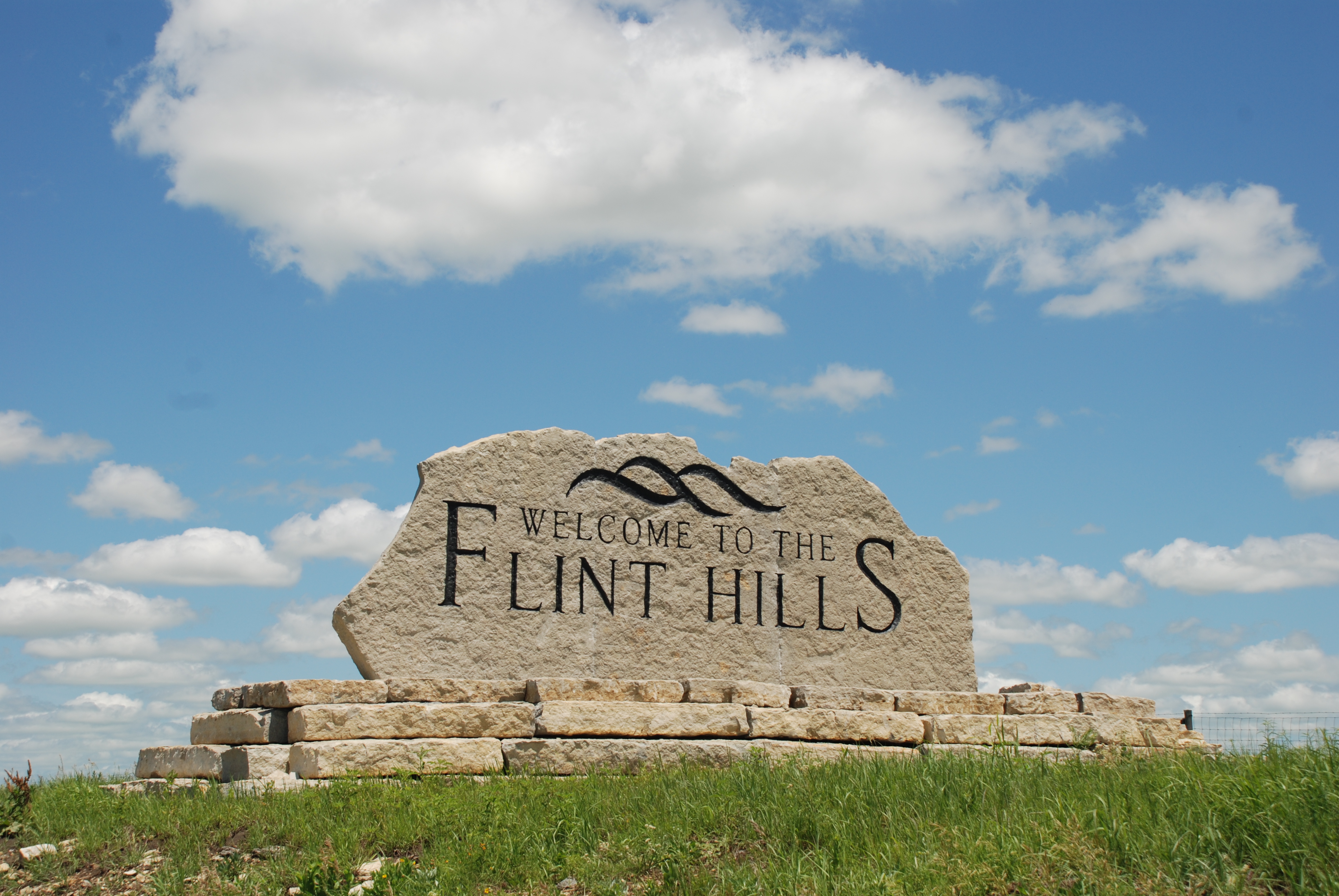
The Flint Hills Welcome Mat
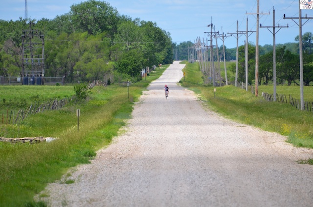
2013DirtyKanza 15209
Flint_hills_panorama.jpg
photo-3
You've heard of squatters haven't you???
The house that Steven can't find
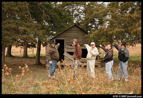
Oh, you mean this house!
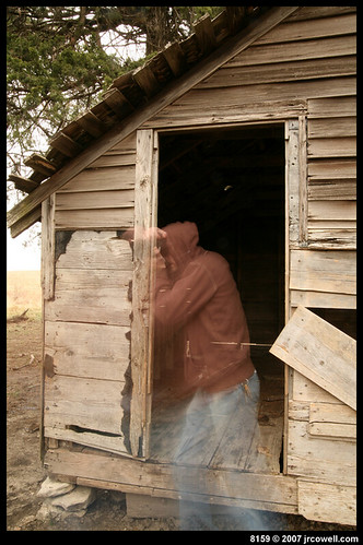
Dustin • The Ghost Photographer

There's ghosts in those hills
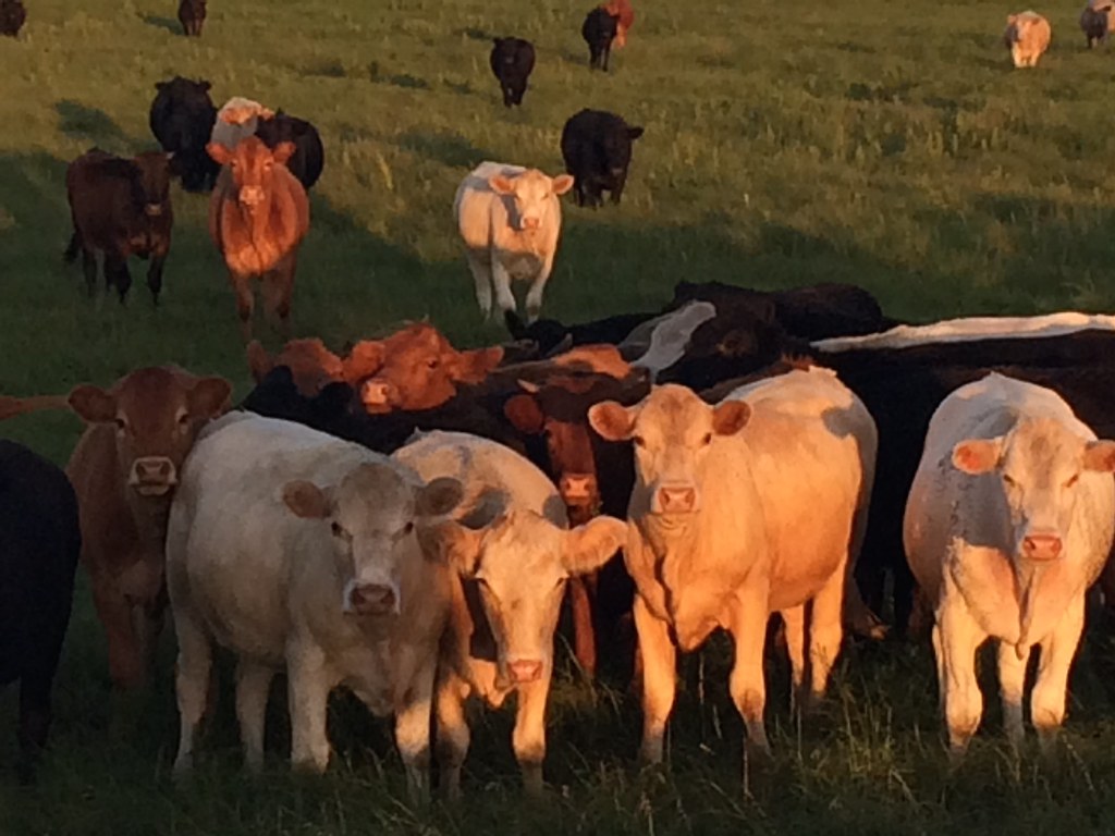
Open Range
Topographic Map of Sycamore, KS, USA
Find elevation by address:

Places in Sycamore, KS, USA:
Places near Sycamore, KS, USA:
Cassoday
NE th St, Cassoday, KS, USA
Bocook St, Matfield Green, KS, USA
Matfield Green
Matfield
Lincoln
NW Trumbell Rd, Burns, KS, USA
Burns
Broadway St, Burns, KS, USA
Milton
Chase County
Clements
Falls
W 7th St, Florence, KS, USA
Florence
Cottonwood Falls
S Pine St, Cottonwood Falls, KS, USA
Janesville
Center
Centre
Recent Searches:
- Elevation of Corso Fratelli Cairoli, 35, Macerata MC, Italy
- Elevation of Tallevast Rd, Sarasota, FL, USA
- Elevation of 4th St E, Sonoma, CA, USA
- Elevation of Black Hollow Rd, Pennsdale, PA, USA
- Elevation of Oakland Ave, Williamsport, PA, USA
- Elevation of Pedrógão Grande, Portugal
- Elevation of Klee Dr, Martinsburg, WV, USA
- Elevation of Via Roma, Pieranica CR, Italy
- Elevation of Tavkvetili Mountain, Georgia
- Elevation of Hartfords Bluff Cir, Mt Pleasant, SC, USA