Elevation of Sycamore Ct, Banning, CA, USA
Location: United States > California > Riverside County > Banning >
Longitude: -116.91866
Latitude: 33.9348226
Elevation: 798m / 2618feet
Barometric Pressure: 92KPa
Elevation Map:
Satellite Map:
Related Photos:

View from Buff Rd LE
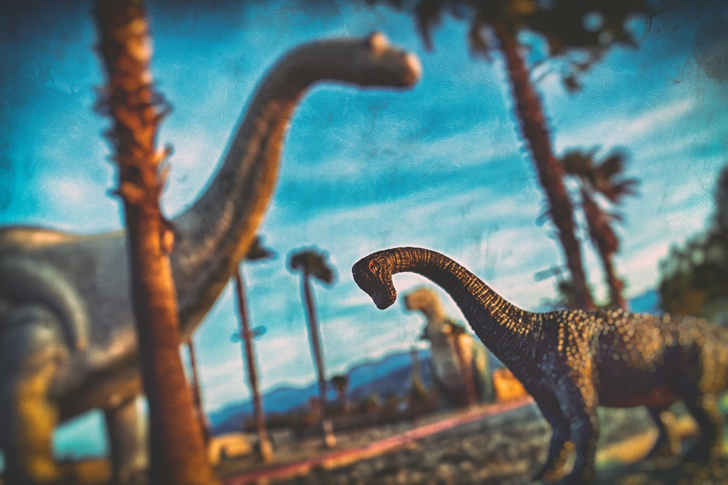
Trends Gone Bad
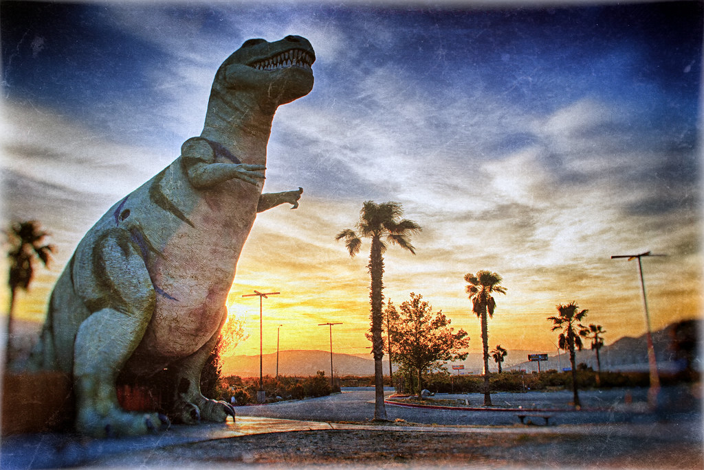
65 Million Years Ago
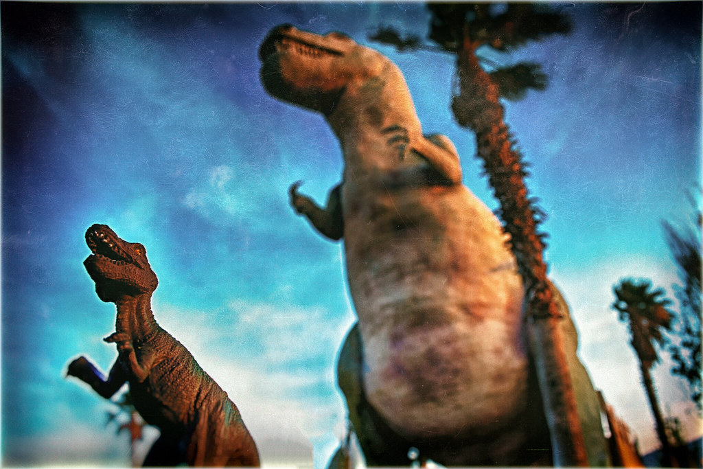
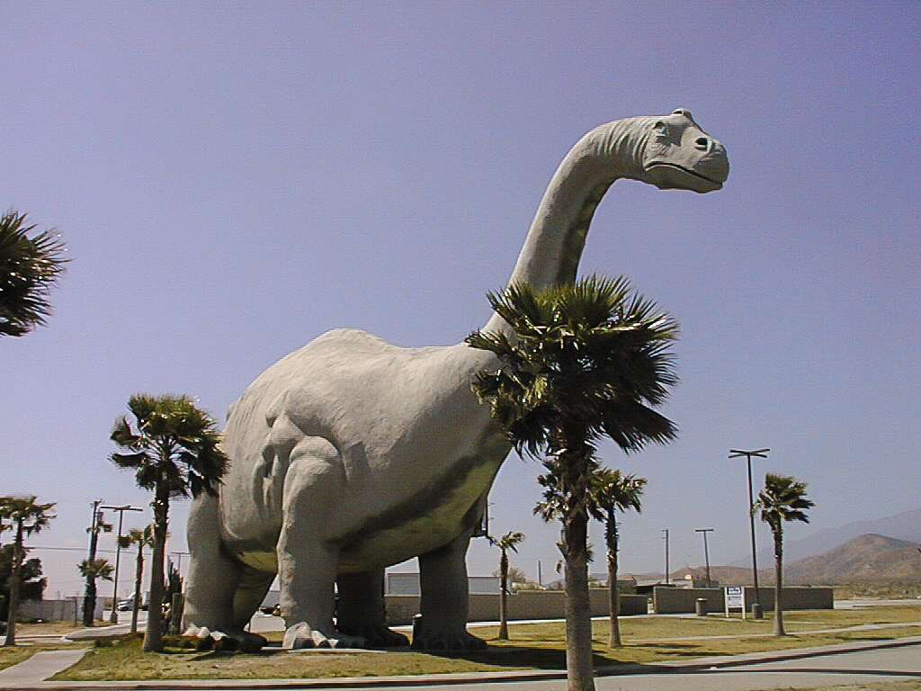
Auditioning For Godzilla

Burn Baby Burn

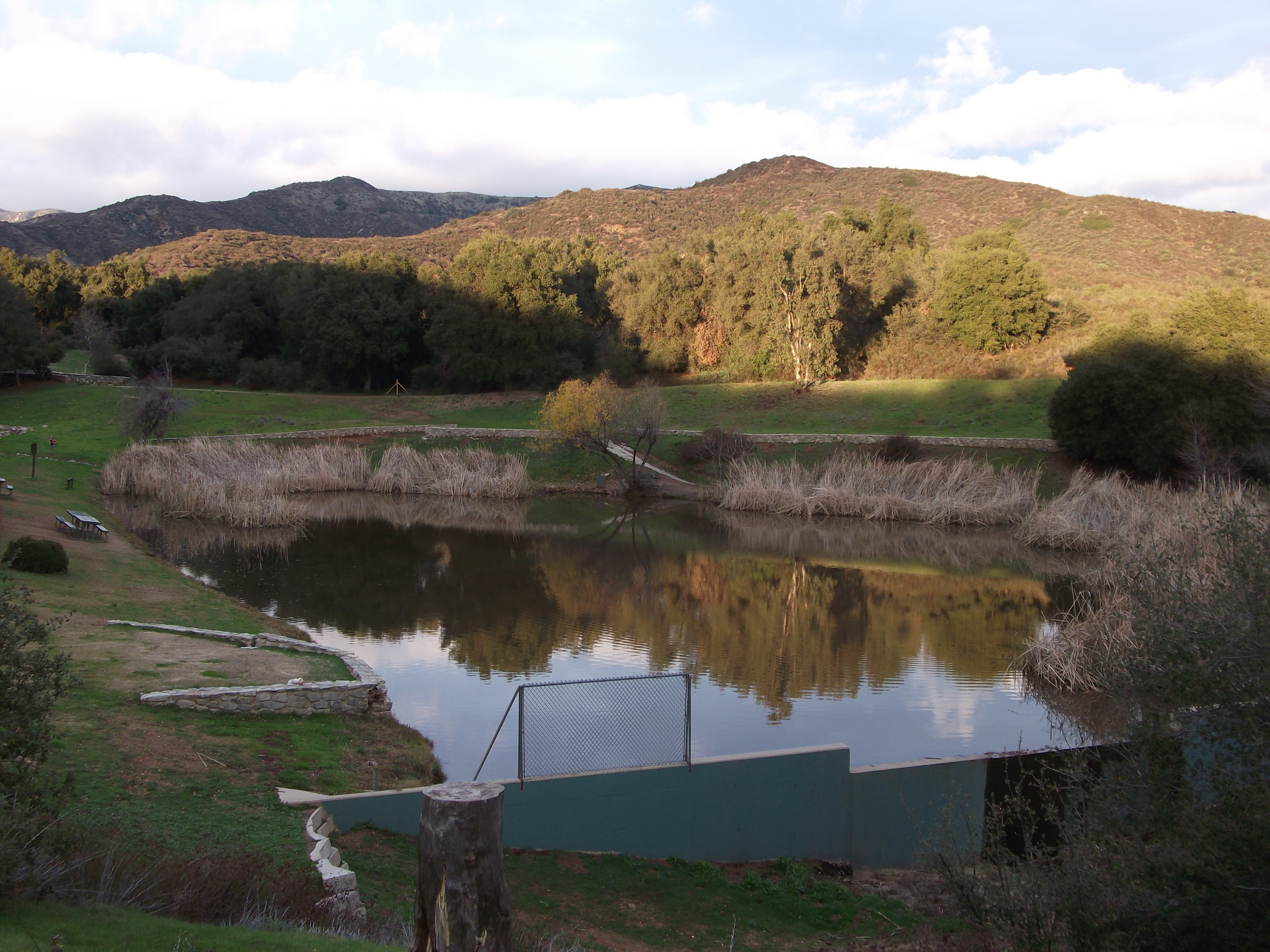
Bogart Park_0068
.

the view from here [7:52]
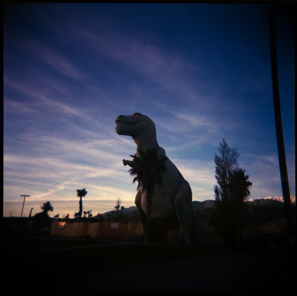
The Red Eye of Rexie
Dinosaurs 2003

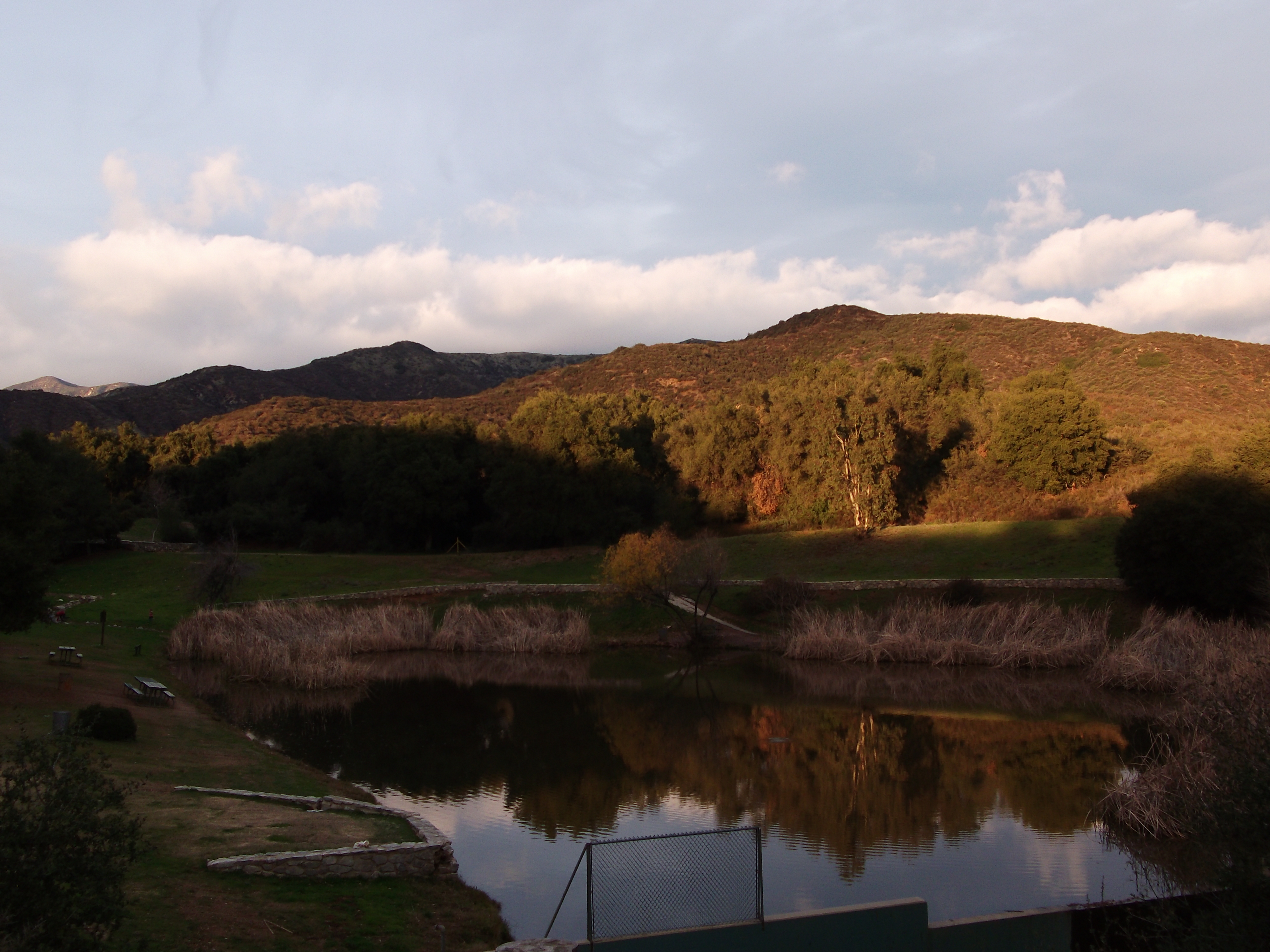
Bogart Park_0059
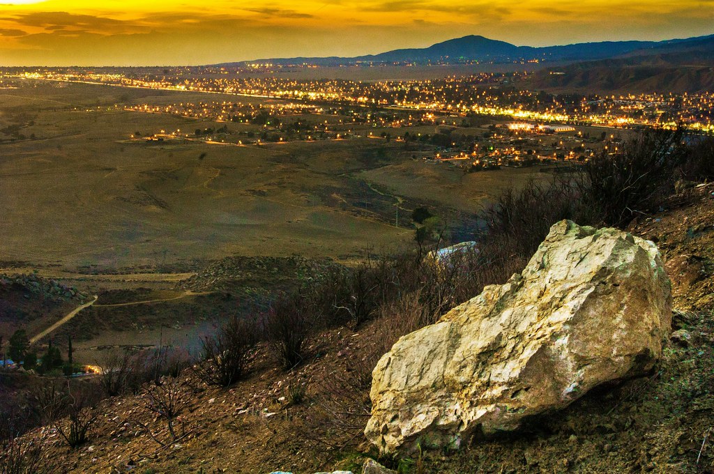
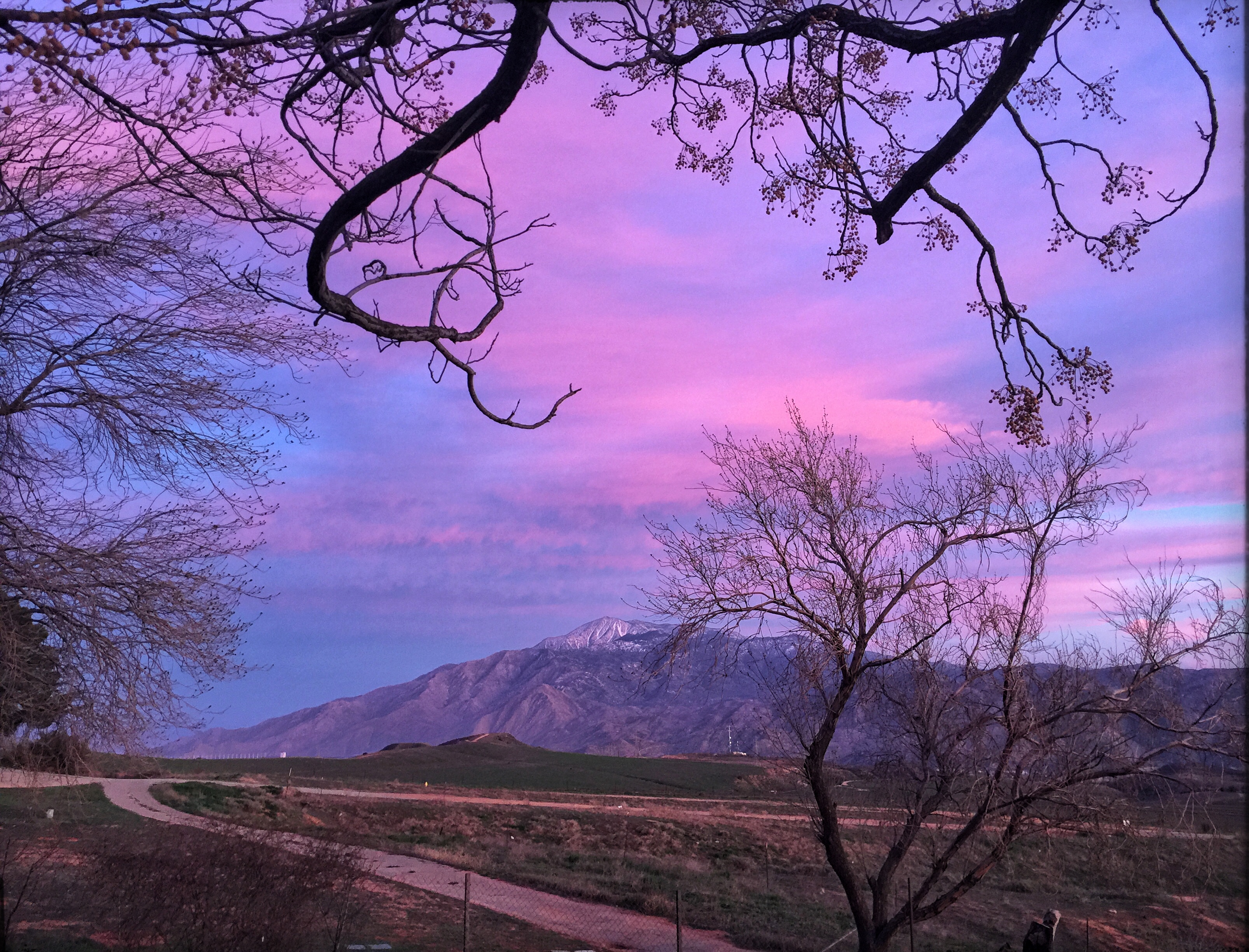
Sunset View 243

Bogart Park_0041

Bogart Park_0039

Bogart Park_0003
clearing storm. cabazon, ca. 2005.
Bogart Park_0069

trucks with clearing storm. cabazon, ca. 2005.
Bogart Park_0070

Morongo Casino, Resort & Spa
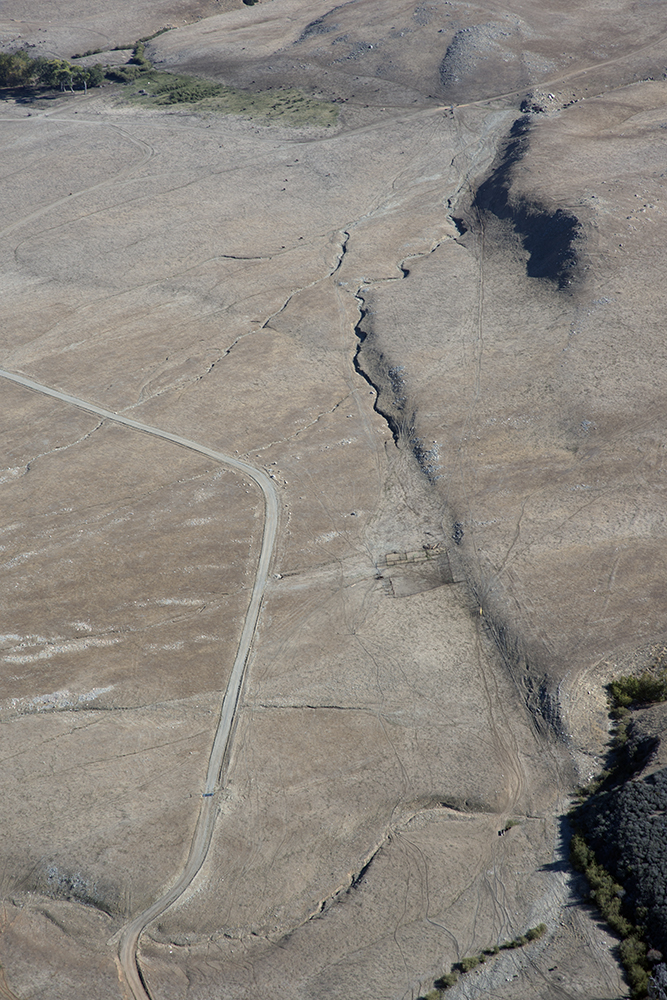
Aerial view of the San Andreas Fault, Burro Flats, Riverside County, California

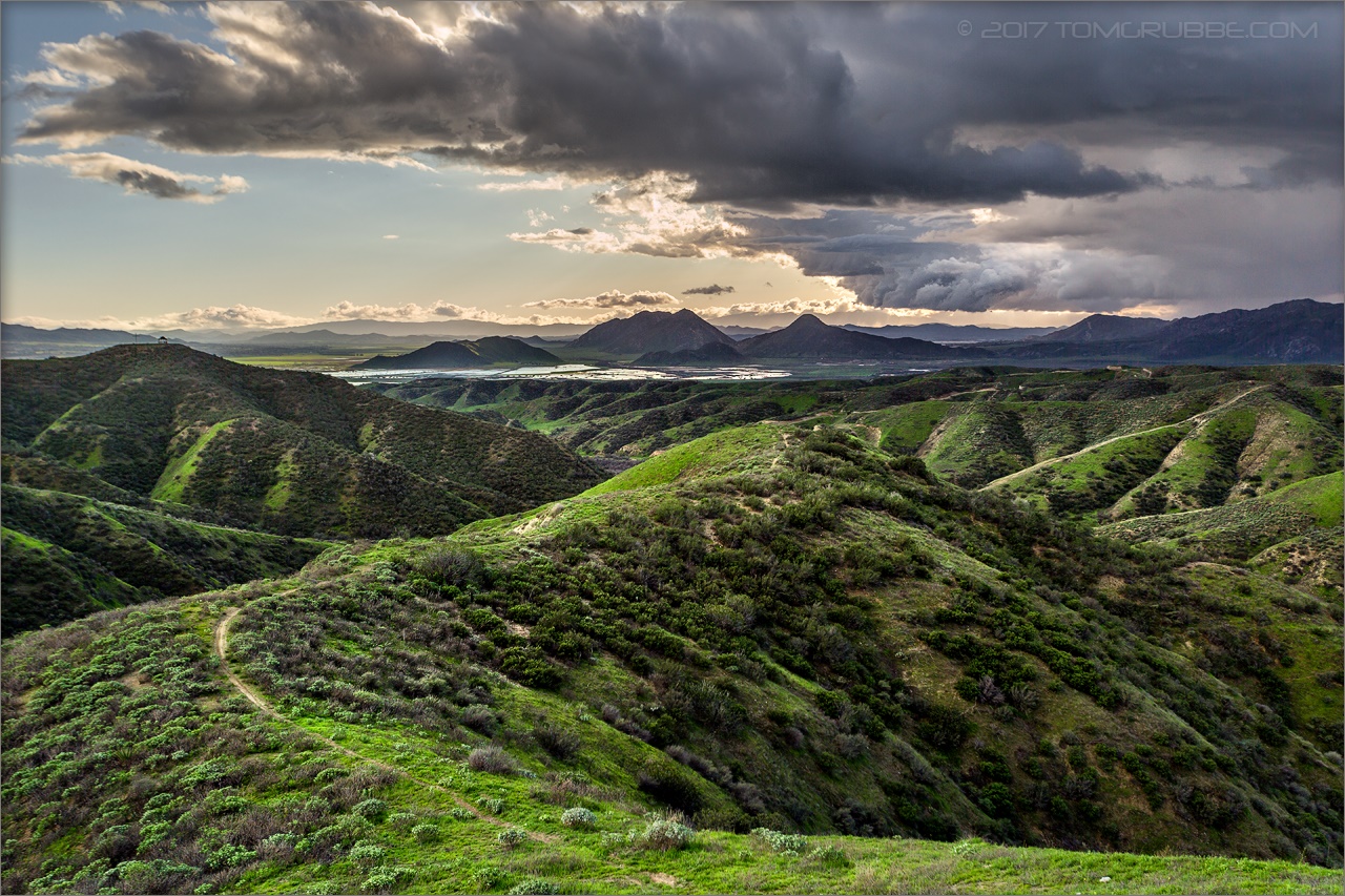
Hills from Jack Rabbit Trail

Lonely Tree

Bastille Day, 2014

Yucaipa California
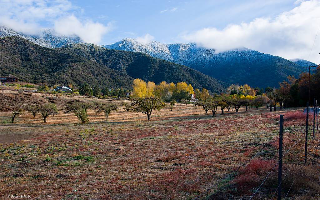
Autumn day in apple country
Jack Rabbit Trail Road
Banning Road

Yucaipa California

Fallen Apples, Oak Glen, CA 11-8-14
Romy in the field
A Rainbow

Tree of Many Colors, Oak Glen, CA 11-13
Valentine's Day, 2016
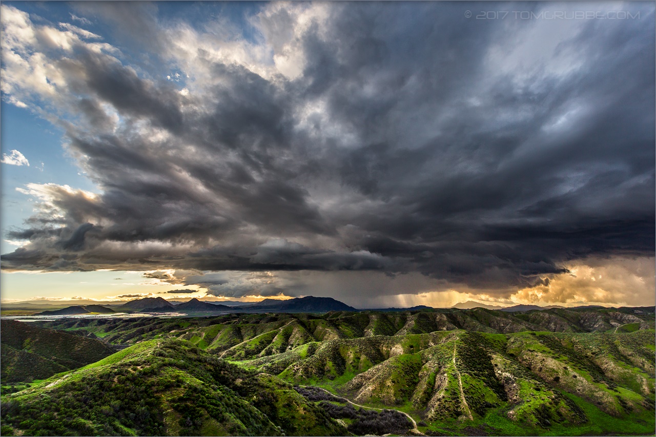
Jack Rabbit Storm
Spring Trail

Morning Sunrise #MorningSunrise #Sunrise #AmateurPhotographer #AmateurPhotography #BOBthePhotography
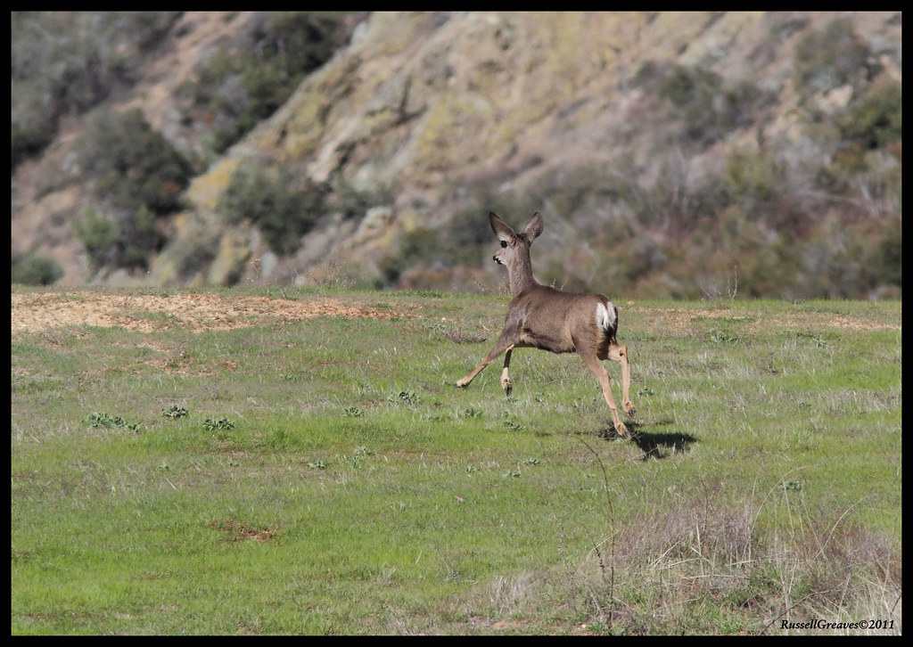
Deers out and about

#latergram #clouds #mountains #windmills #train #scenery #landscape #beautiful #beautifulsight
Topographic Map of Sycamore Ct, Banning, CA, USA
Find elevation by address:

Places near Sycamore Ct, Banning, CA, USA:
3565 Red Bluff Ln
4133 W Wilson St
1593 G Ct
3800 W Wilson St
4175 Hillside Dr
4175 Mockingbird Ln
5600 W Wilson St
274 N Highland Springs Ave
274 N Highland Springs Ave
560 W Wilson St
40957 Cypress Point Dr
10245 Bluff St
10245 Bluff St
1569 N San Gorgonio Ave
Highland Springs Resort
Banning Bench
10640 Bel Air Dr
Ruby Lane
10448 Chisholm Trail
41120 Ute Trail
Recent Searches:
- Elevation of Corso Fratelli Cairoli, 35, Macerata MC, Italy
- Elevation of Tallevast Rd, Sarasota, FL, USA
- Elevation of 4th St E, Sonoma, CA, USA
- Elevation of Black Hollow Rd, Pennsdale, PA, USA
- Elevation of Oakland Ave, Williamsport, PA, USA
- Elevation of Pedrógão Grande, Portugal
- Elevation of Klee Dr, Martinsburg, WV, USA
- Elevation of Via Roma, Pieranica CR, Italy
- Elevation of Tavkvetili Mountain, Georgia
- Elevation of Hartfords Bluff Cir, Mt Pleasant, SC, USA