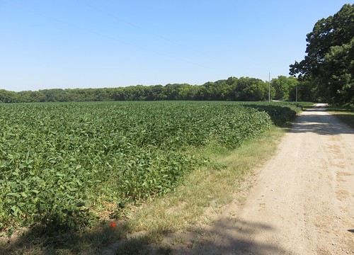
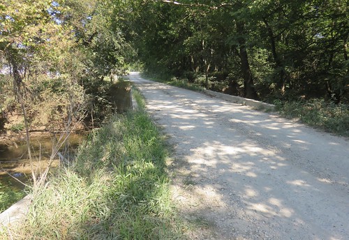
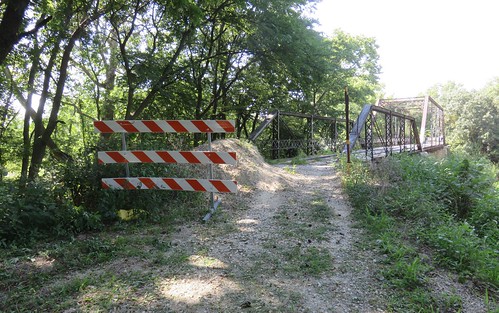
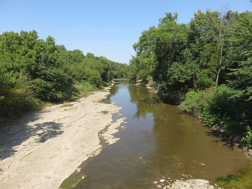
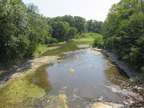
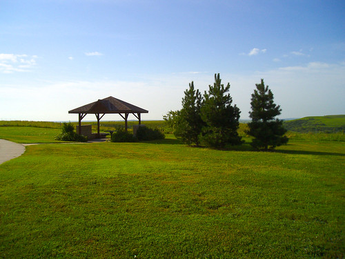
Elevation of SW Haverhill Rd, Leon, KS, USA
Location: United States > Kansas > Butler County > Little Walnut > Leon >
Longitude: -96.881991
Latitude: 37.578694
Elevation: 403m / 1322feet
Barometric Pressure: 97KPa
Related Photos:
Topographic Map of SW Haverhill Rd, Leon, KS, USA
Find elevation by address:

Places near SW Haverhill Rd, Leon, KS, USA:
SW th St, Leon, KS, USA
Bloomington
SW th Terrace, Douglass, KS, USA
SW rd St, Augusta, KS, USA
Douglass
Walnut
7th Street
210 Us-400
Osage St, Augusta, KS, USA
S Chestnut St, Douglass, KS, USA
Douglass
Augusta
Little Walnut
Leon
N Olive St, Leon, KS, USA
1717 State St
Lily Lake School
Augusta
SW 40th St, El Dorado, KS, USA
6686 Sw Buffalo Rd
Recent Searches:
- Elevation of Corso Fratelli Cairoli, 35, Macerata MC, Italy
- Elevation of Tallevast Rd, Sarasota, FL, USA
- Elevation of 4th St E, Sonoma, CA, USA
- Elevation of Black Hollow Rd, Pennsdale, PA, USA
- Elevation of Oakland Ave, Williamsport, PA, USA
- Elevation of Pedrógão Grande, Portugal
- Elevation of Klee Dr, Martinsburg, WV, USA
- Elevation of Via Roma, Pieranica CR, Italy
- Elevation of Tavkvetili Mountain, Georgia
- Elevation of Hartfords Bluff Cir, Mt Pleasant, SC, USA

