Elevation of SW 40th St, El Dorado, KS, USA
Location: United States > Kansas > Butler County > El Dorado >
Longitude: -96.882817
Latitude: 37.76711
Elevation: 390m / 1280feet
Barometric Pressure: 97KPa
Elevation Map:
Satellite Map:
Related Photos:

History on the side of the road

Atchison, Topeka & Santa Fe Railway, Kansas, Augusta (3,360b)
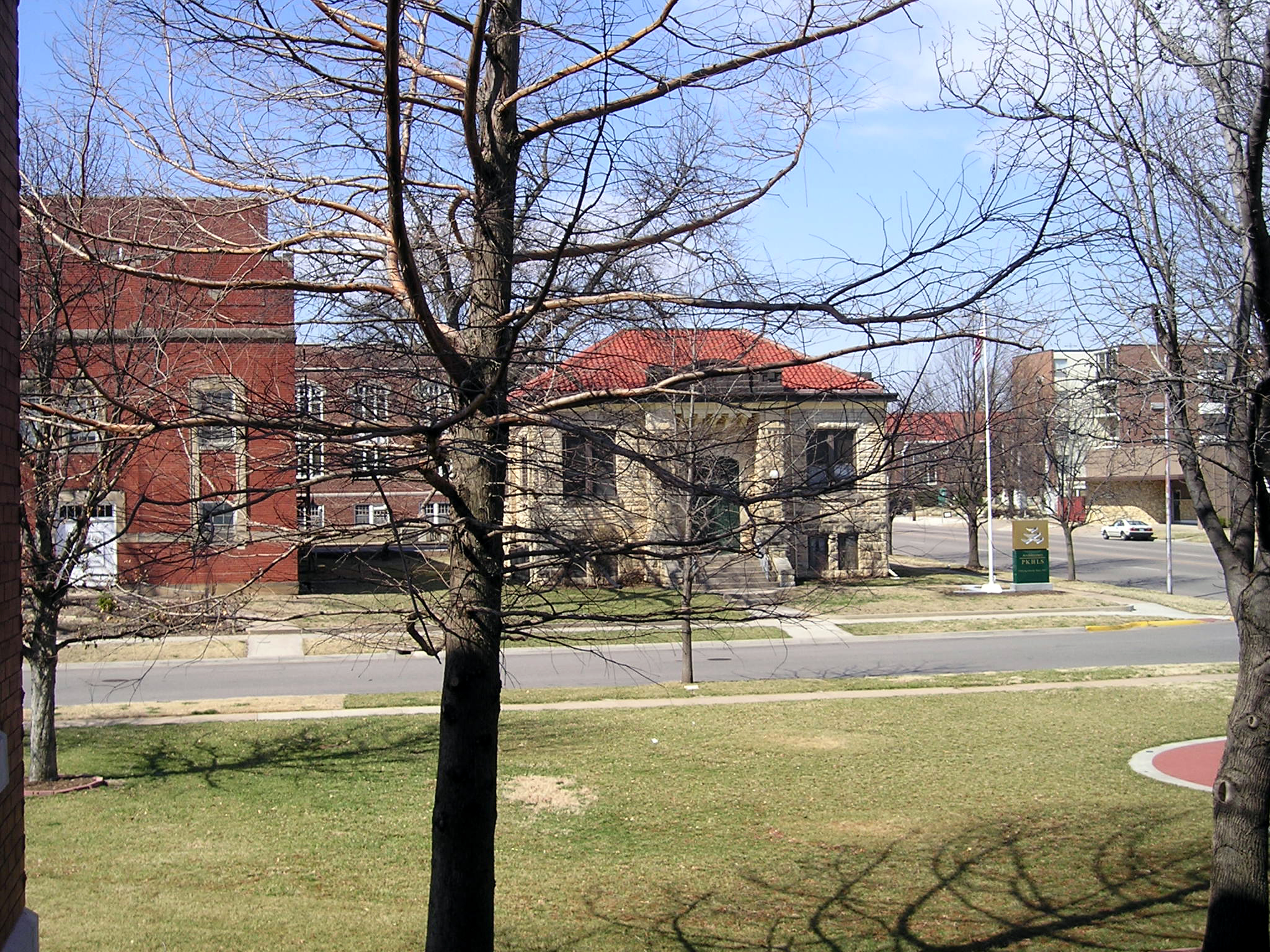
El Dorado Carnegie Library (Old)

Linear Trail Viewed from Dam
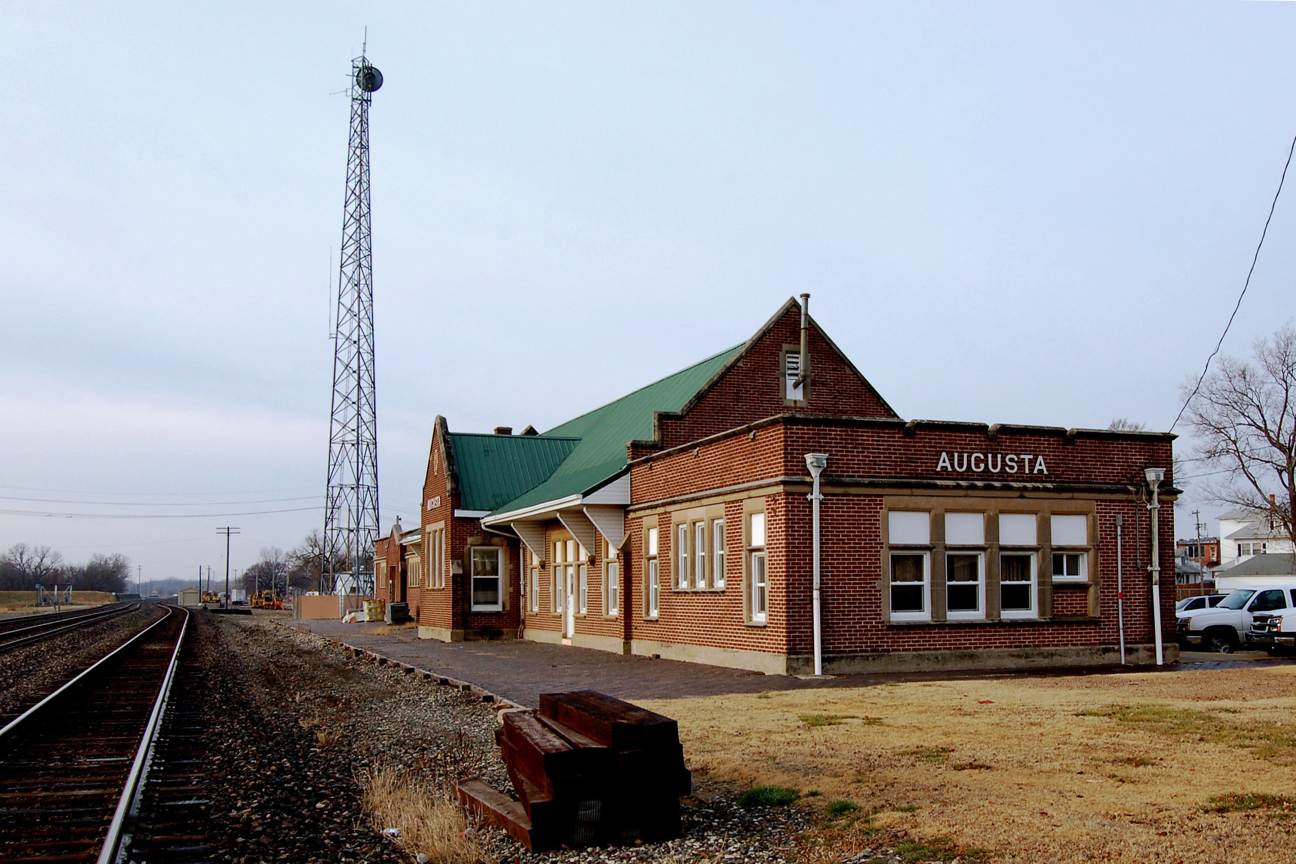
Atchison, Topeka & Santa Fe Railway, Kansas, Augusta (3,360)
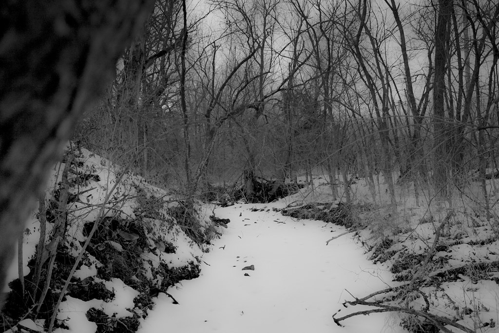
Cold Creek

Newer Rexall sign
Oil Museum
Earth Day Activities in Great Bend

Big Oak Campground

Kansas Highway Reading
Topographic Map of SW 40th St, El Dorado, KS, USA
Find elevation by address:

Places near SW 40th St, El Dorado, KS, USA:
El Dorado
37 SE 30th St, El Dorado, KS, USA
3-2-1 Kawasaki
Anitas Mexican Restaurant El Dorado Ks
708 S Star St
W Central Ave, El Dorado, KS, USA
El Dorado
622 State St
Seven K Co
120 Woodland St
Sunlight Child Advocacy Center
201 Sw Morley Rd
SE Bluestem Rd, El Dorado, KS, USA
Prospect
Towanda
Butler County
402 Highland St
Prospect
High St, Towanda, KS, USA
Towanda
Recent Searches:
- Elevation of Corso Fratelli Cairoli, 35, Macerata MC, Italy
- Elevation of Tallevast Rd, Sarasota, FL, USA
- Elevation of 4th St E, Sonoma, CA, USA
- Elevation of Black Hollow Rd, Pennsdale, PA, USA
- Elevation of Oakland Ave, Williamsport, PA, USA
- Elevation of Pedrógão Grande, Portugal
- Elevation of Klee Dr, Martinsburg, WV, USA
- Elevation of Via Roma, Pieranica CR, Italy
- Elevation of Tavkvetili Mountain, Georgia
- Elevation of Hartfords Bluff Cir, Mt Pleasant, SC, USA