Elevation of S Chestnut St, Douglass, KS, USA
Location: United States > Kansas > Butler County >
Longitude: -97.012606
Latitude: 37.519384
Elevation: 371m / 1217feet
Barometric Pressure: 97KPa
Elevation Map:
Satellite Map:
Related Photos:
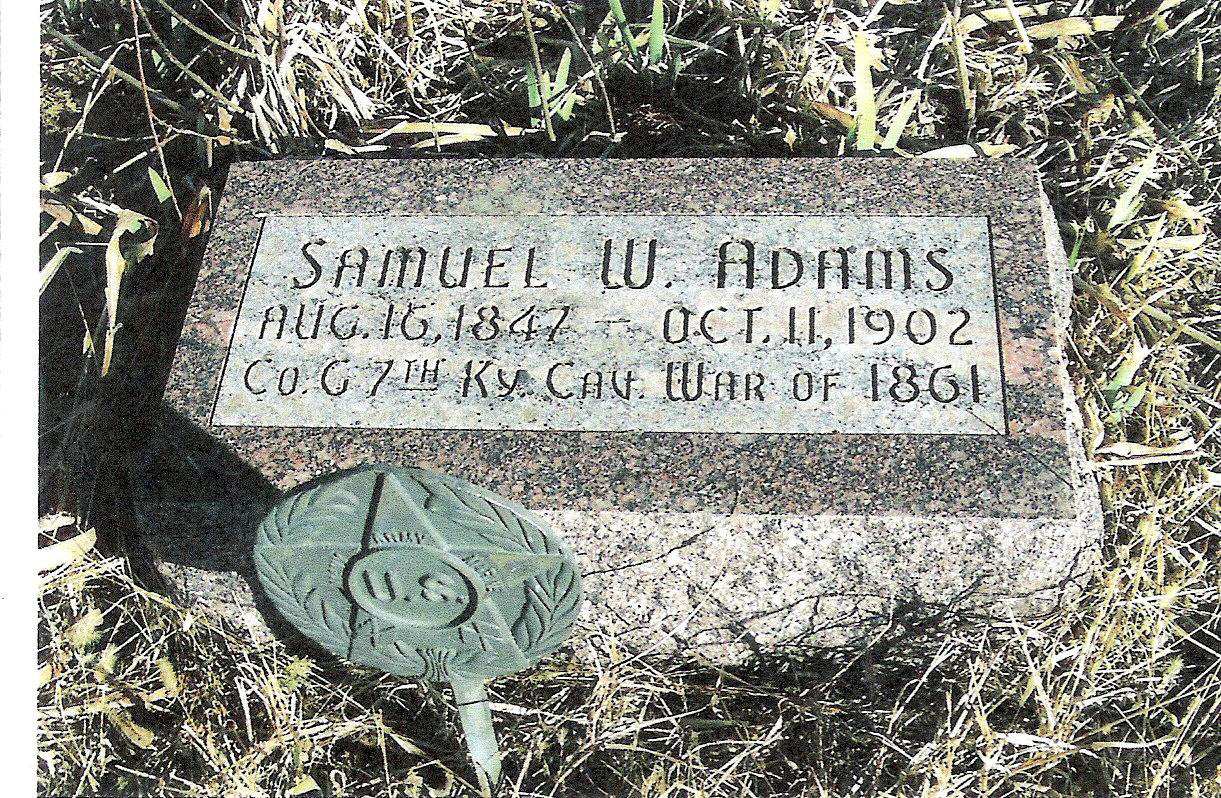
Samuel W. Adams
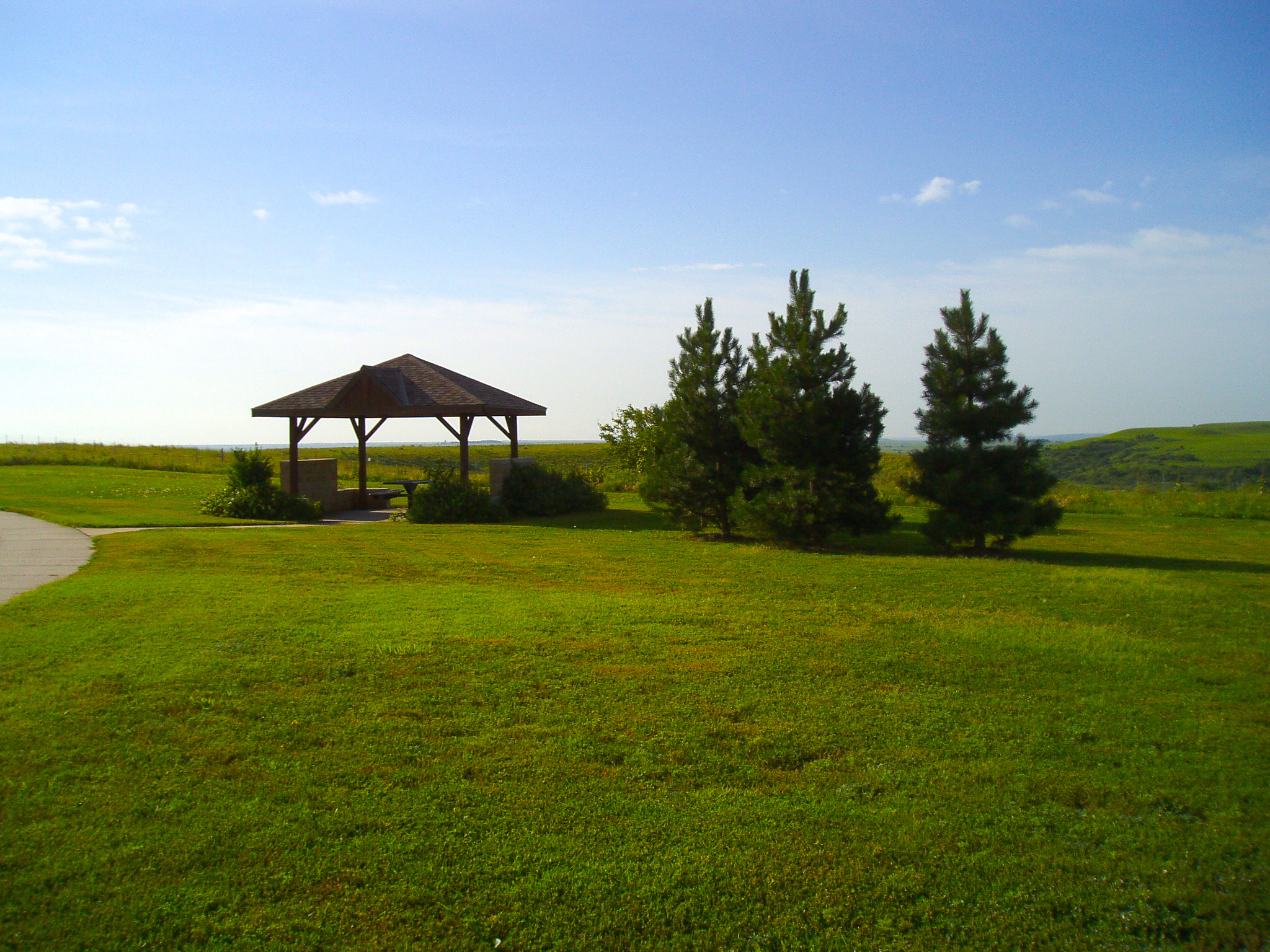
Kansas Rest Stop

Melissa Kelly Imagery
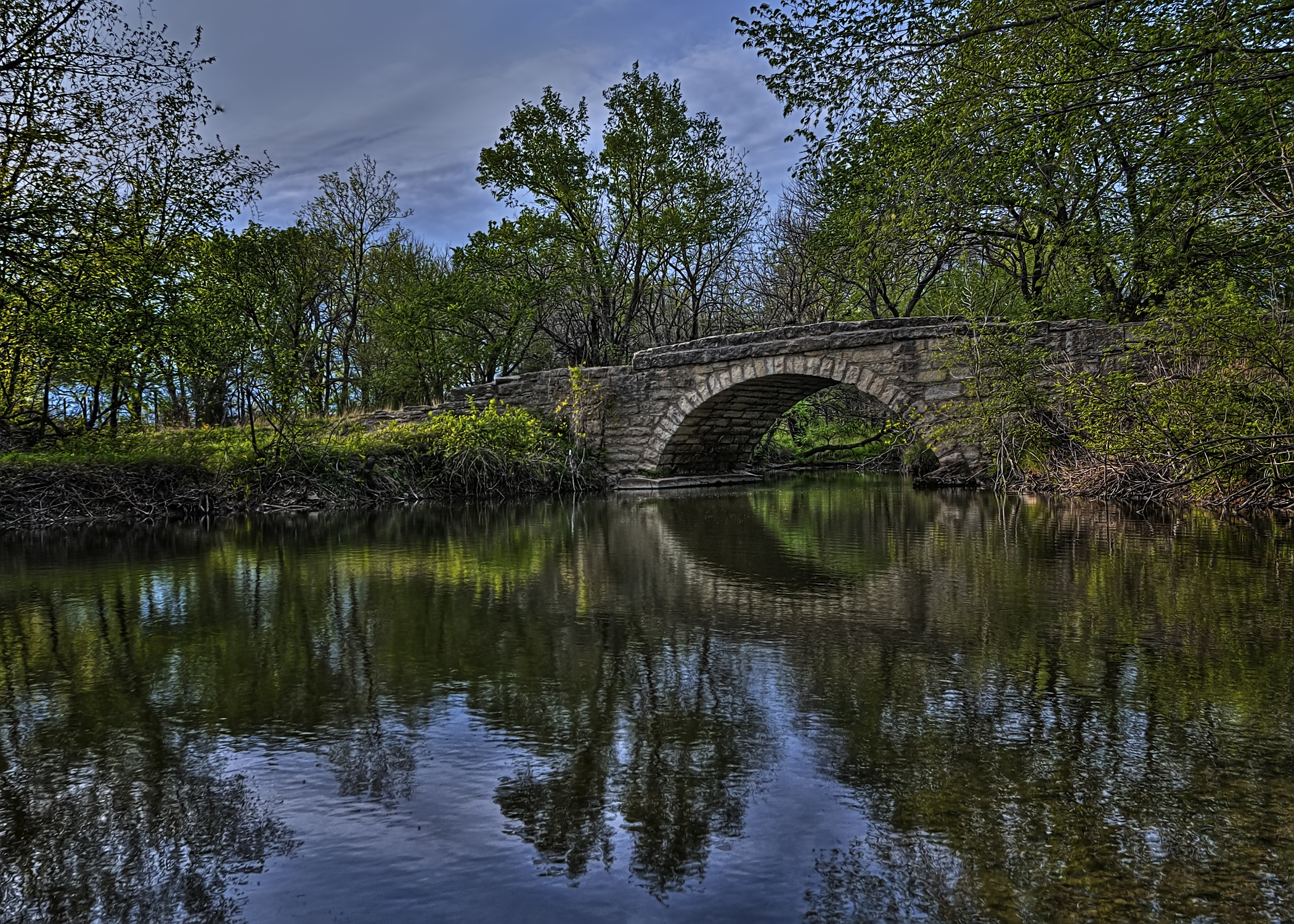
Bridge Over Pole Cat Creek
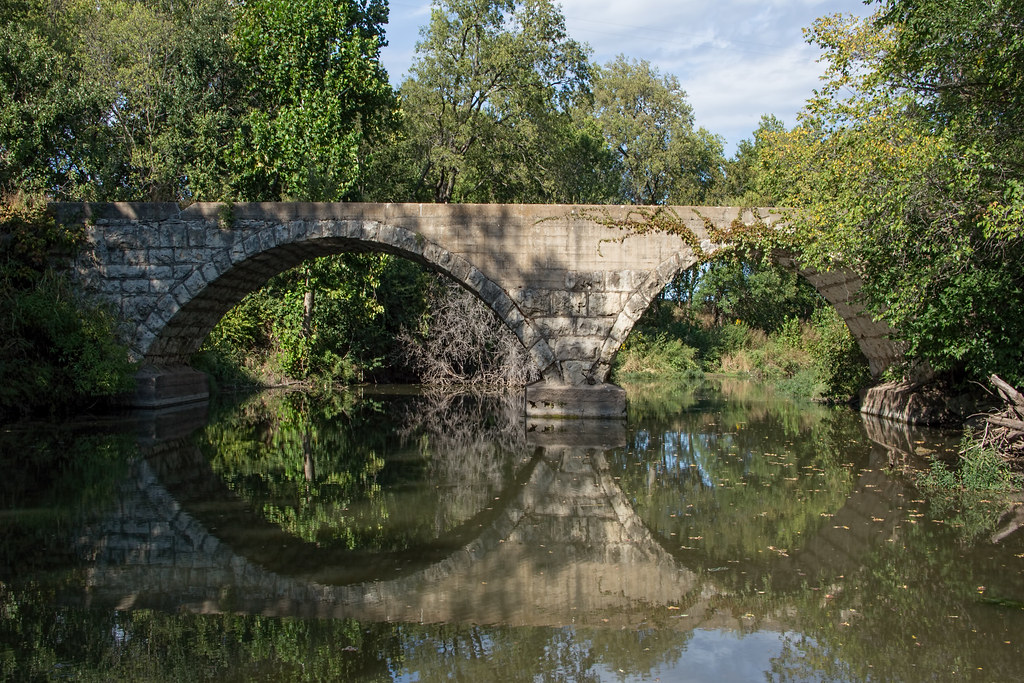
Rock Creek Bridge
Butler County SO

Rose Hill PD

I've ALWAYS been curious to THIS answer, MYSELF !!!
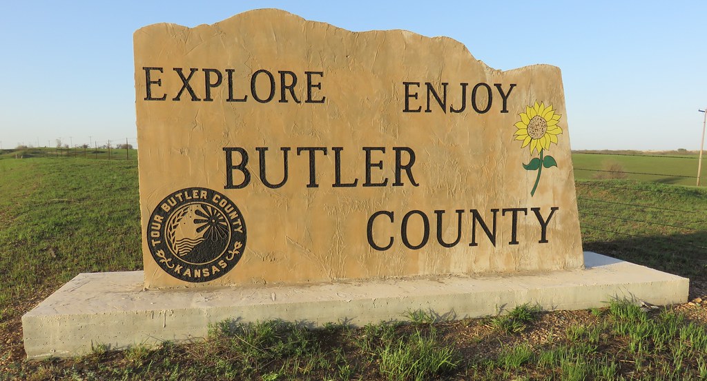
Butler County Welcome Sign (Butler County, Kansas)
The Cathedral of Ceres

Jason Hoffman
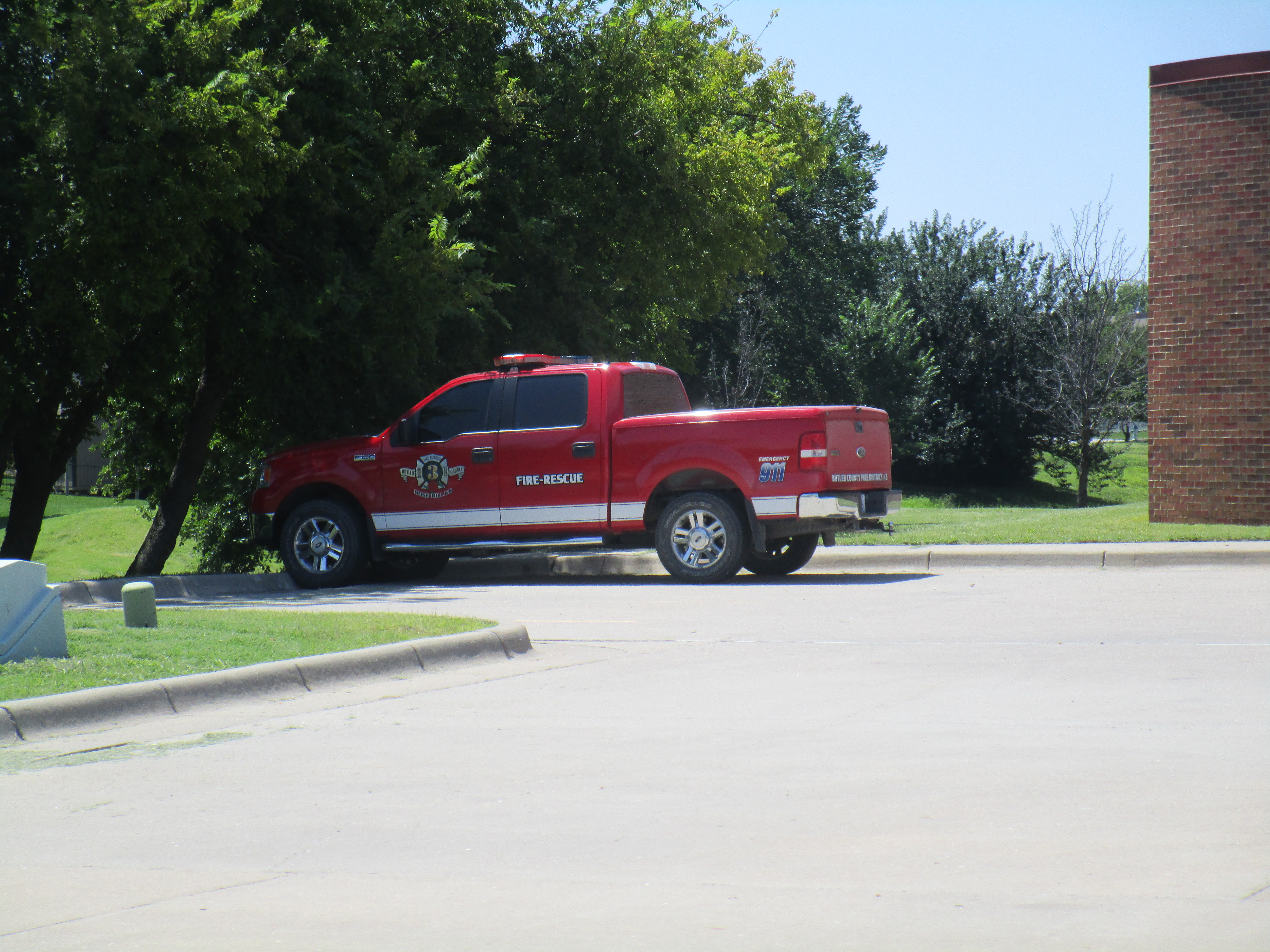
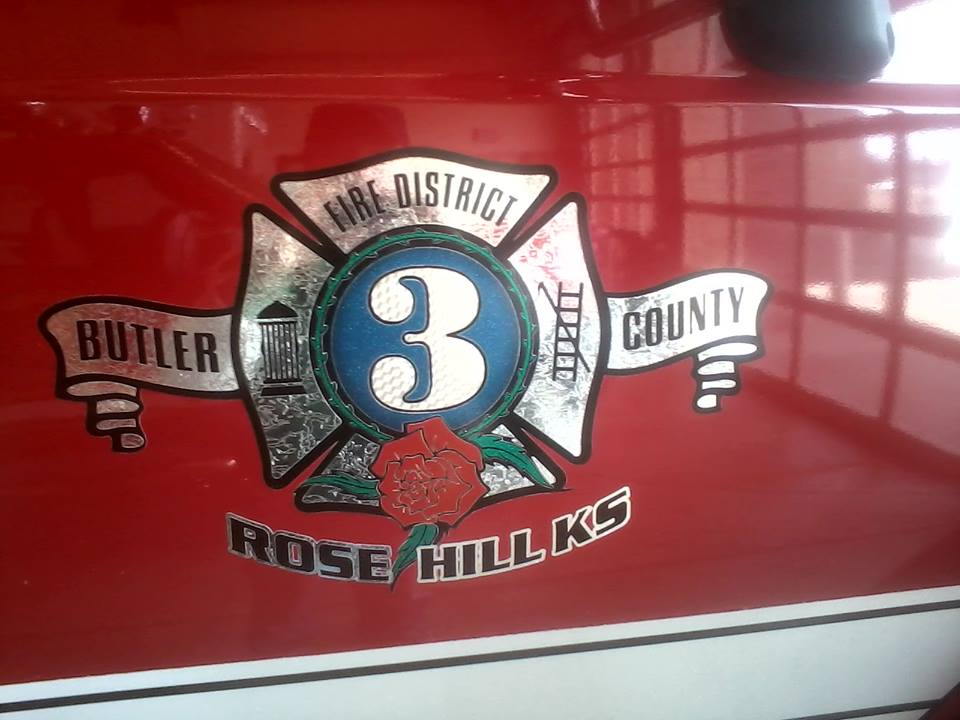
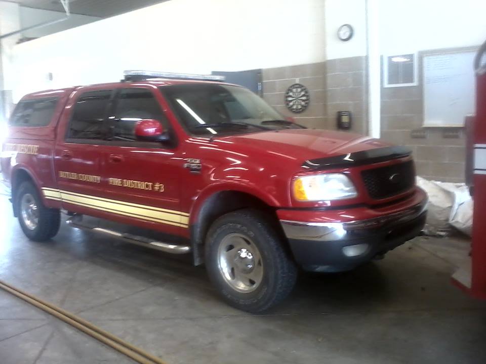
Butler County FD #3
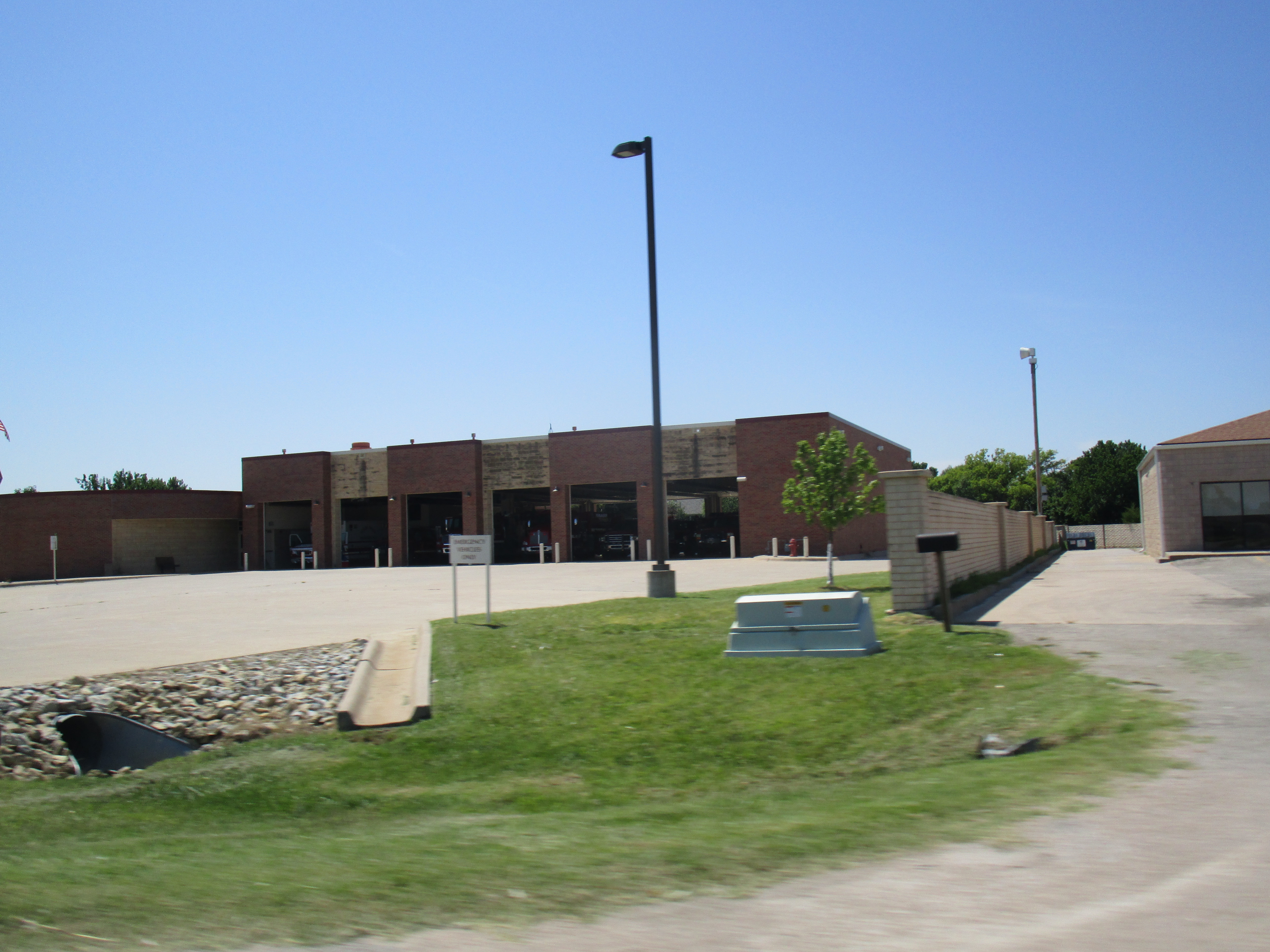
Butler County FD #3
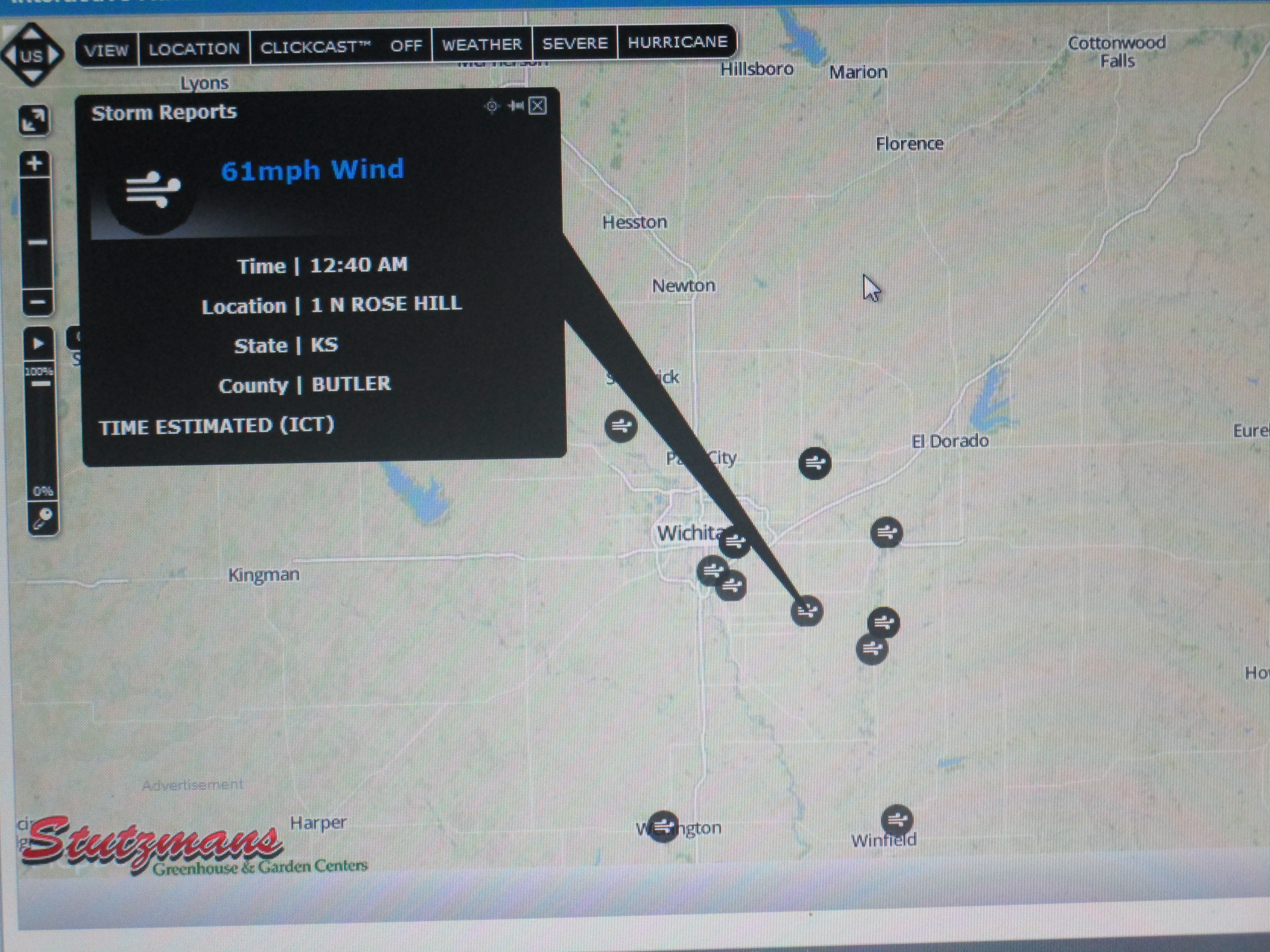
MY NWS Wichita Storm Report
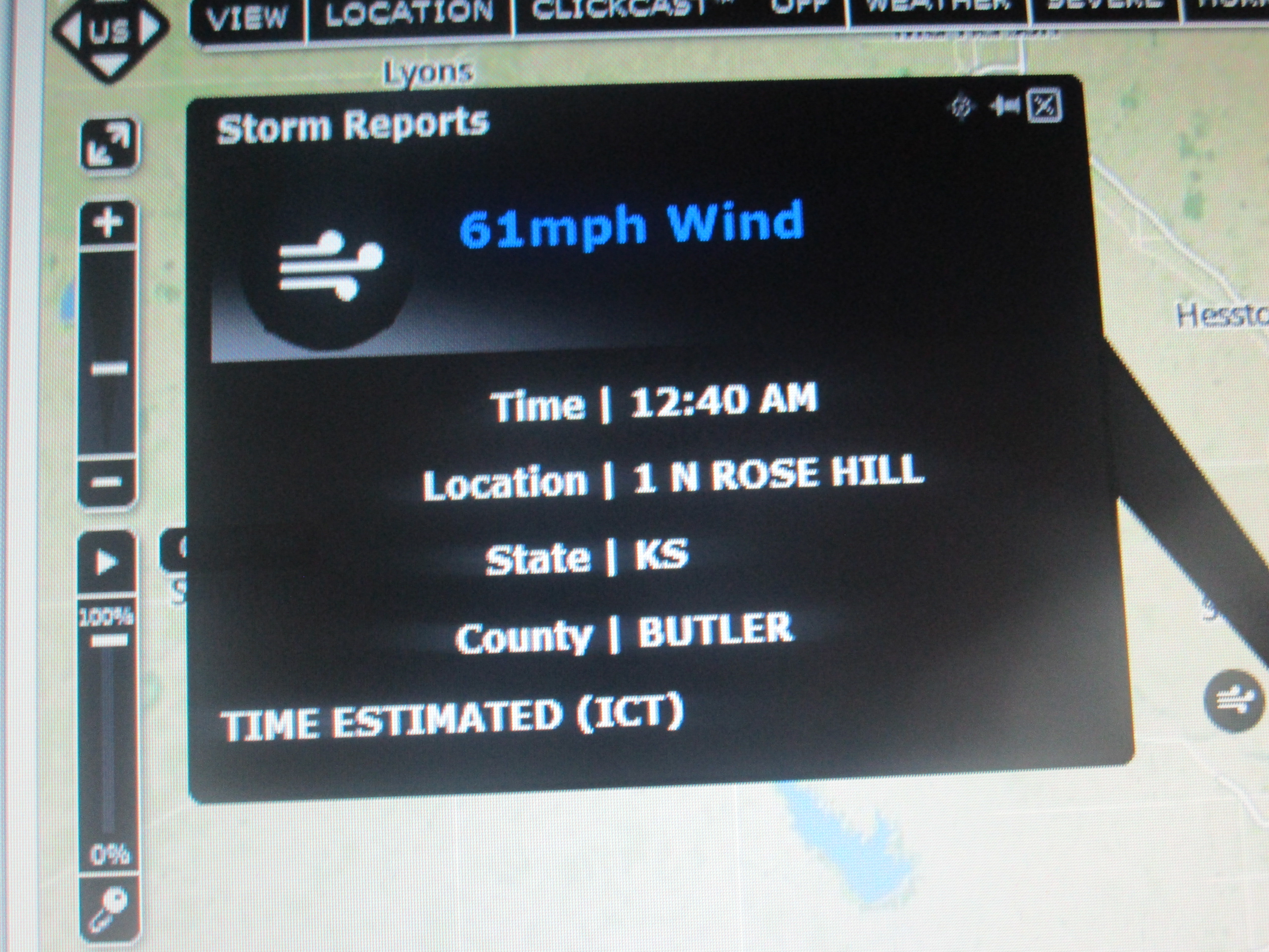
MY NWS Wichita Storm Report
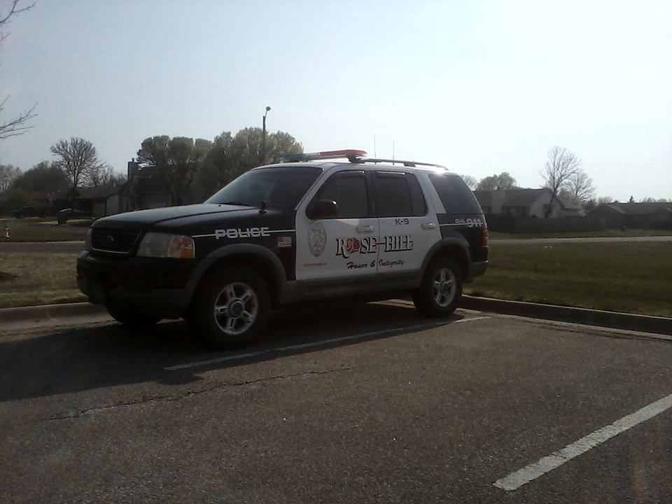
Rose Hill PD
BCFD #3
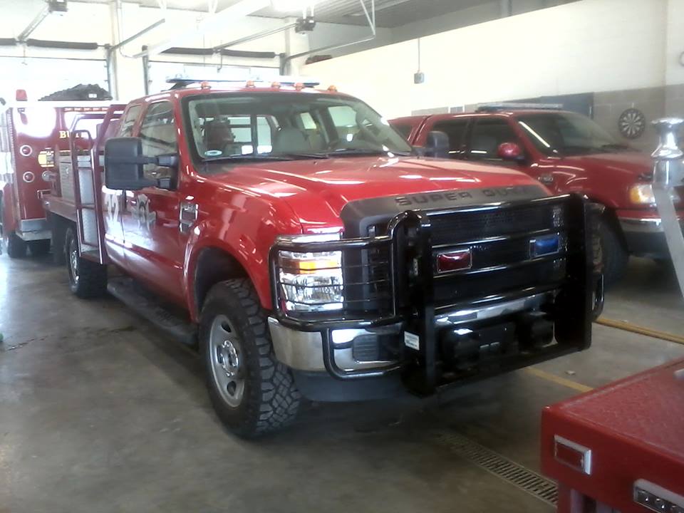
BCFD #3
BCFD #3
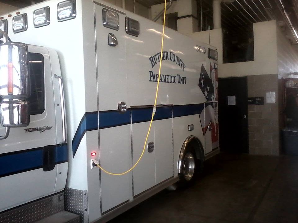
Butler County EMS
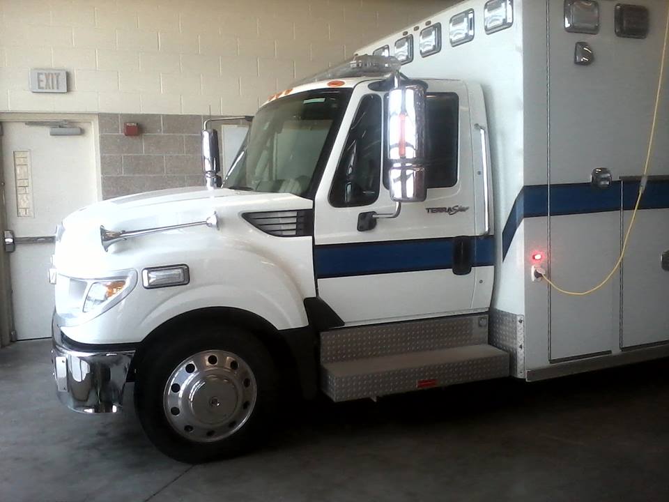
Butler County EMS
BCFD #3
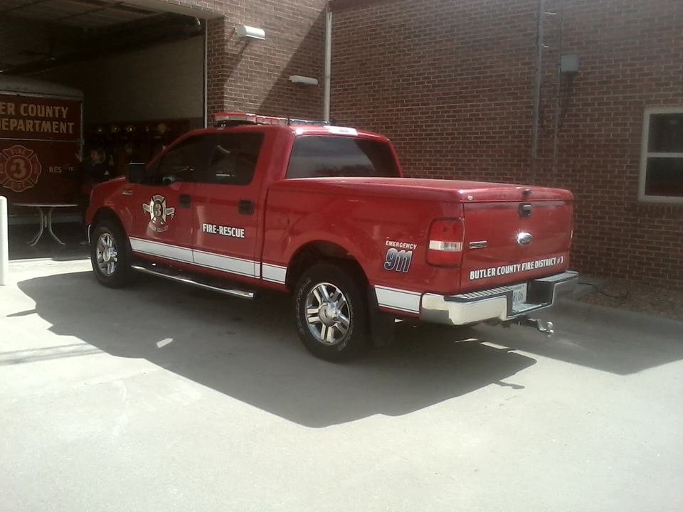
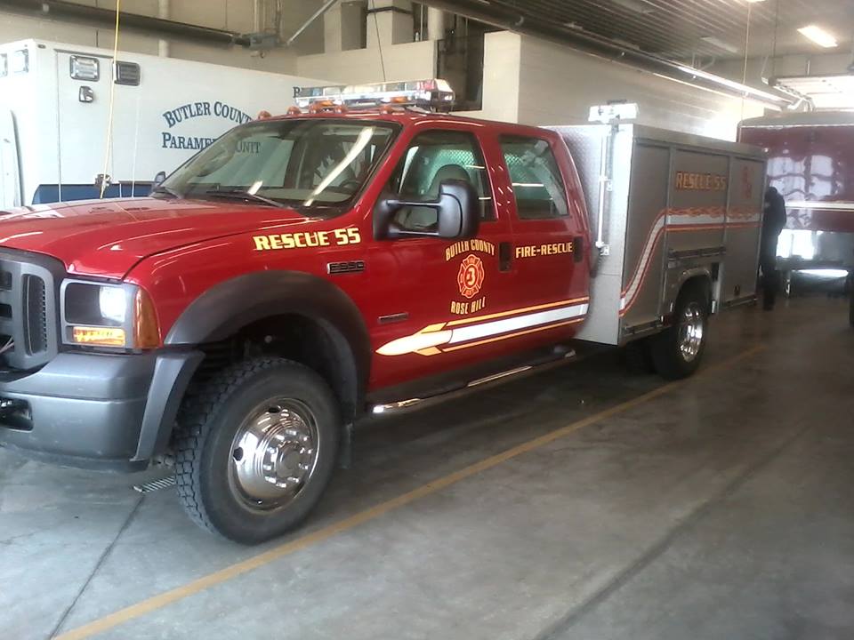
Butler County Fire #3

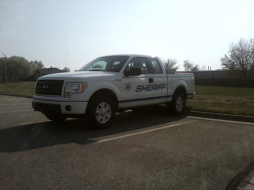
Butler County Sheriff
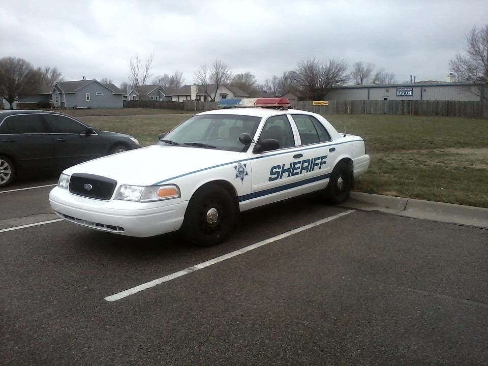
Butler County Sheriff
Topographic Map of S Chestnut St, Douglass, KS, USA
Find elevation by address:

Places near S Chestnut St, Douglass, KS, USA:
Douglass
Douglass
SW rd St, Augusta, KS, USA
Walnut
SW th Terrace, Douglass, KS, USA
Bloomington
16889 Sw Haverhill Rd
SW th St, Leon, KS, USA
210 Us-400
7th Street
Augusta
Osage St, Augusta, KS, USA
Lily Lake School
Augusta
1717 State St
6686 Sw Buffalo Rd
Salem
Main St, Winfield, KS, USA
Cowley County
Towanda
Recent Searches:
- Elevation of Corso Fratelli Cairoli, 35, Macerata MC, Italy
- Elevation of Tallevast Rd, Sarasota, FL, USA
- Elevation of 4th St E, Sonoma, CA, USA
- Elevation of Black Hollow Rd, Pennsdale, PA, USA
- Elevation of Oakland Ave, Williamsport, PA, USA
- Elevation of Pedrógão Grande, Portugal
- Elevation of Klee Dr, Martinsburg, WV, USA
- Elevation of Via Roma, Pieranica CR, Italy
- Elevation of Tavkvetili Mountain, Georgia
- Elevation of Hartfords Bluff Cir, Mt Pleasant, SC, USA