Elevation of Sutter's Mill Replica, Coloma Rd, Coloma, CA, USA

Location: United States > California > El Dorado County > Placerville >

Longitude: -120.89230

Latitude: 38.8034066

Elevation: -10000m / -32808feet

Barometric Pressure: 295KPa

Elevation Map:

elevation map of Sutter's Mill Replica, Coloma Rd, Coloma, CA, USA

Satellite Map:

Satellite map of Sutter's Mill Replica, Coloma Rd, Coloma, CA, USA

Related Photos:

sign neonsign neon robinsonsdrugs rexall placerville 042017 nikon interesting
Robinson's Pharmacy
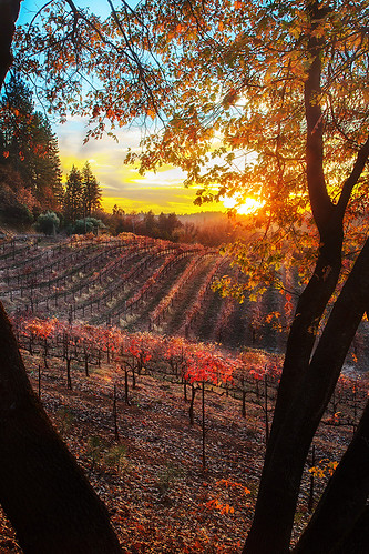
sunset color fall vineyard winery placerville wtd boegerwinery obiewalks
Boeger Winery sunset view
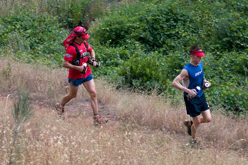
california red race running run racing psycho runner ultramarathon trailrun trailrunning panningshot westernstates100 endurancerun teampsycho
psycho runner
fence project happy day el hills friday 1000 945 dorado hff
Day 945: ElDorado_9950d
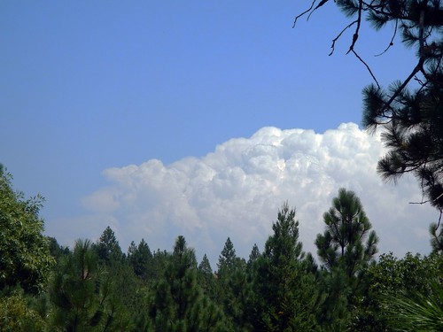
california trees northerncalifornia clouds edited pines sierranevada pinetrees thunderclouds oaktrees thunderstorms ponderosapines 25july2013
Thunderclouds Over the Crest
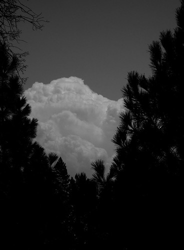
california northerncalifornia dark edited pines thunderstorm grayscale sierranevada pinetrees thunderclouds ponderosapines 25july2013
Dark Thunderclouds
California Highway Patrol Crown Victoria K-9 front view
aerialview aerialphotography landscape river sacramento sacramentophotography eldoradohills california unitedstates us
Sacramento River, CA
aerialview aerialphotography landscape river sacramento sacramentophotography eldoradohills california unitedstates us
Sacramento River, CA
aerialview aerialphotography landscape river sacramento sacramentophotography eldoradohills california unitedstates us
Sacramento River, CA
california railroad house tree brick abandoned window stone canon hotel photo cool oak stage ghost steps landmark eerie haunted spooky photograph restore historical restoration boarded 1860 bayley 50d
The Old Bayley House 2674
camping riley arr trailer rv coloma suttersmill colomaca southforkoftheamericanriver americanriverresort 9682742
RV Camping..
ham amateur radio portable
W6SAE, SOTA W6/NS-357
ham amateur radio portable
W6SAE, SOTA W6/NS-357
ham amateur radio portable
W6SAE, SOTA W6/NS-357
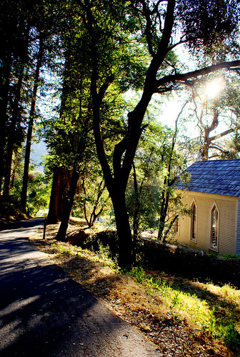
statepark morning trees sky church nature forest gold town site claire cabin woods catholic unitedstates path sony ghost stjohns historic alpha dslr discovery daybreak coloma johnmarshall suttersmill calfornia toney wellpreserved sonya200 mygearandme mygearandmepremium ringexcellence clairetoney
Morning Services
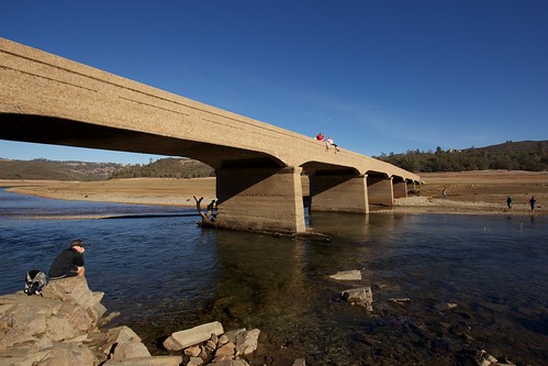
california bridge blue sky people water clouds amazing rocks sitting clear drought disaster exposed lowwater catastrophe supports americanriver folsomlake oldsalmonfallsbridge
Old Salmon Falls Bridge... Now a Bridge Again
race running run runner ultramarathon endurancerace westernstates100
Western States runner
railroad railway crew castiron shay locomotive placerville railfan eldoradocounty steamlocomotive shaylocomotive eldoradocountyhistoricalmuseum diamondandcaldor eldoradowestern eldoradowesternrailway logginglocomotive
Outside the barn
canon eos dirty subaru tamron forrester strobist 40d 1750mmf28 kylechaisson
Mom's Dirty Car
nikon d200 carshow 2010 nikond200 gardenvalley gardenvalleycarshow
GVCarShow-6
goldcountry autum leaves 365 2017
moss and mist
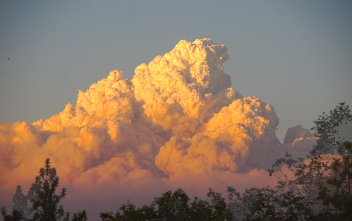
cloud northerncalifornia fire foliage placerville wildfire eldoradocounty pyrocumulus kingfire
Hell in our backyard
mf tmy2 rodinal fuji gsw690iii coloma ca film analog
land of milk and honey
ca gold rush exploration 49er suttersmillcoloma
Sutter's Mill, Coloma, California Gold Rush Historic Site
sunset color fall vineyard day winery clear placerville wtd boegerwinery obiewalks pwfall
Boeger Winery in the Fall
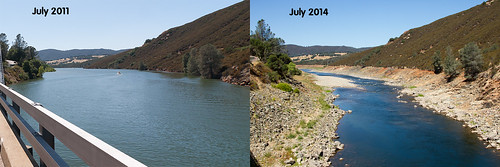
bridge people lake water contrast river landscape photo high team bed stream background south low folsom salmon dry fork falls american drought difference comparison exposed equality inequality parched
Salmon Falls Comparison 2011 and 2014
sunset color fall vineyard winery placerville wtd boegerwinery obiewalks
Sunset Vineyard
tree water rock waterfall hiking hike coloma eldoradocounty dutchcreekwaterfall
Dutch Creek Waterfall
california sunset cloud tree northerncalifornia foliage ranchoroberts eldoradocounty
Tonight's Sunset
california bridge water architecture night sunrise landscape lumix unitedstates outdoor panasonic hdr eldoradohills m43 mirrorless microfourthirds m43ftw dreyerpicturescom
Sunrise over Old Salmon Falls Hidden Bridge, Folsom Dam, California
sunset color fall vineyard day winery clear placerville wtd boegerwinery obiewalks pwfall
Fall vineyard sunset
california sunset tree northerncalifornia foliage ranchoroberts eldoradocounty
Tonight's Sunset
hiking cronanranch eldoradocounty california northerncalifornia outdoors landscape
Cronan Ranch Regional Trails Park
nevada eldorado sierra rockcreek eldoradonationalforest enf
Rock Creek, El Dorado Co
california bridge water architecture night sunrise landscape lumix unitedstates outdoor panasonic eldoradohills m43 mirrorless microfourthirds m43ftw dreyerpicturescom
Sunrise over Old Salmon Falls Hidden Bridge, Folsom Dam, California
california bridge water architecture night sunrise landscape lumix unitedstates outdoor panasonic hdr eldoradohills m43 mirrorless microfourthirds m43ftw dreyerpicturescom
Sunrise over Old Salmon Falls Hidden Bridge, Folsom Dam, California
california park ca rock bug gold mine hard historic placerville goldrush goldbug
gold bug mine ore cart tracks, Placerville, California
petrescue georgetownfire lowermainfire
untitled047-27.jpg