Elevation of Bacchi Rd, Lotus, CA, USA
Location: United States > California > El Dorado County > Coloma > Lotus >

Longitude: -120.91752

Latitude: 38.8162685

Elevation: 245m / 804feet

Barometric Pressure: 98KPa

Elevation Map:

elevation map of Bacchi Rd, Lotus, CA, USA
Satellite Map:

Satellite map of Bacchi Rd, Lotus, CA, USA
Related Photos:

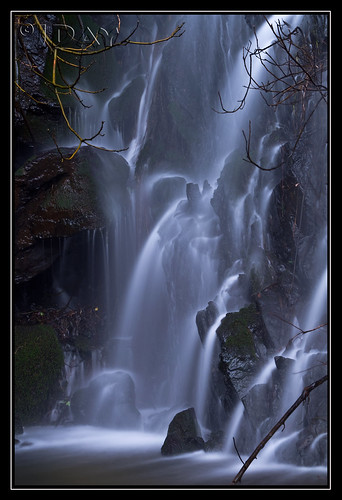
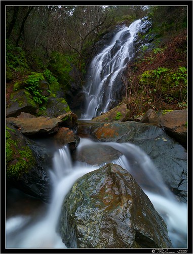
ca usa water rock moss auburn falls trail february 2010 americanriver sierranevadafoothills auburnsra blackholeofcalcuttafalls
Grotto of the Falls
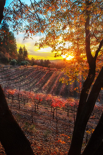
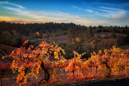
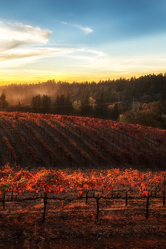
sunset color fall vineyard winery placerville wtd boegerwinery obiewalks
Boeger Winery sunset view
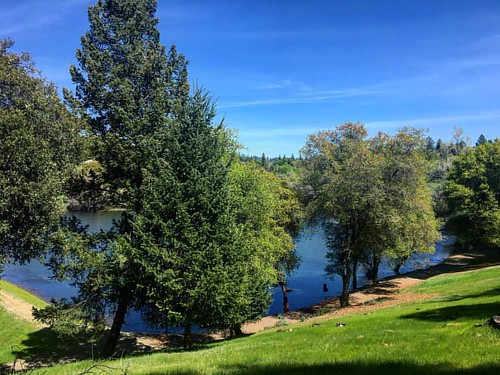
instagramapp square squareformat iphoneography uploaded:by=instagram
Green. Blue. Good book. Good view. Perfect weather. #california #sunshine #view #peace #quiet
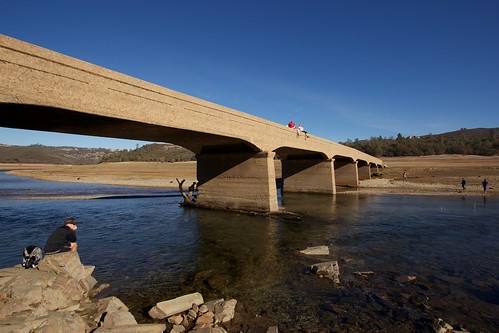
california bridge blue sky people water clouds amazing rocks sitting clear drought disaster exposed lowwater catastrophe supports americanriver folsomlake oldsalmonfallsbridge
Old Salmon Falls Bridge... Now a Bridge Again
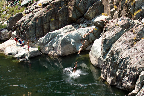
dive diving american river north fork kid kids jumping jump water stream rock rocks boulders cold freezing hot day cooling off clone action sports extreme cloning photoshop sequence summer fun play acting activity vacation canon 50d photo photograph multiplicity sport
Summer Insanity 2737
The view from Agard
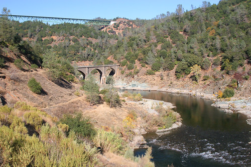
railroad bridge mountain 20d forest canon river concrete photo stream famous hill canyon photograph sacramento foresthill nohands placercounty americanriver quarries casch familygetty
Two Famous Bridges 0935
fence project happy day el hills friday 1000 945 dorado hff
Day 945: ElDorado_9950d
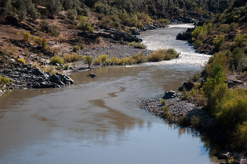
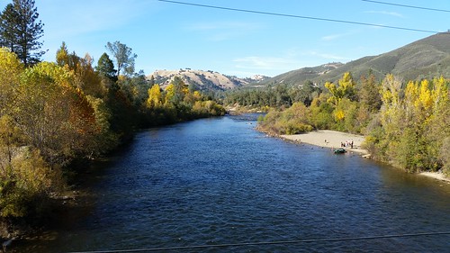
sky nature water grass clouds river outside outdoors hiking folsom hike hills american sacramento
American River
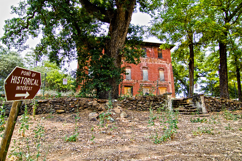
california railroad house tree brick abandoned window stone canon hotel photo cool oak stage ghost steps landmark eerie haunted spooky photograph restore historical restoration boarded 1860 bayley 50d
The Old Bayley House 2674
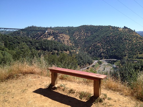
california hiking may 2014 auburnstaterecreationarea
Bench with a View, Stagecoach Trail 2014
california travel panorama photography view folsom auburn sacramento skyridge
Auburn Overlook
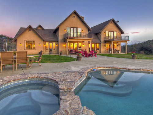
exterior eldoradohillsca realestatephotography
Exterior Rear
camping riley arr trailer rv coloma suttersmill colomaca southforkoftheamericanriver americanriverresort 9682742
RV Camping..
auburn dji outdoor phantom4pro sacramento aerial airialview dreyerpicturescom drone river water
American River - Forest Hill, CA
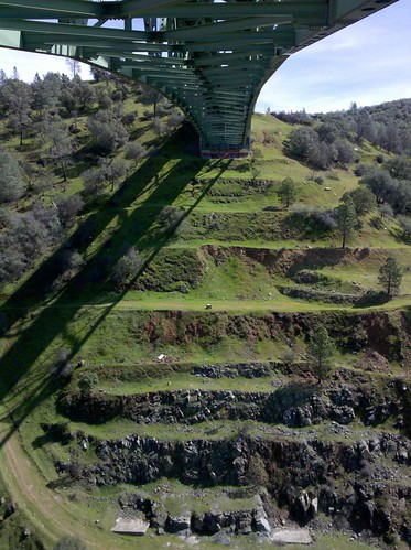
View from the bridge
auburn foresthillbridge 2011
View towards east abutment
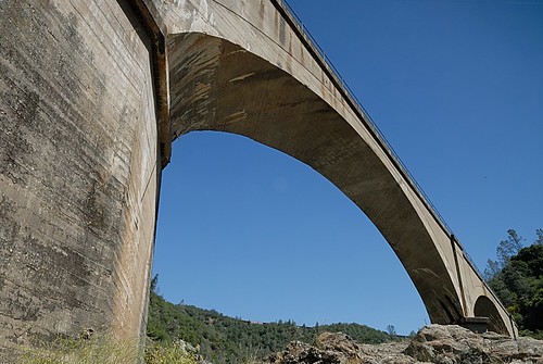
california nikon auburn 1755mmf28g d200 placercounty americanriver nohandsbridge mountainquarriesbridge americanriverconfluence viewfrombeneath 1755mmf28gdx
View from beneath - Mountain Quarries Bridge
railroad bridge mountain 20d forest canon river landscape concrete photo famous hill auburn canyon photograph sacramento nohands placercounty rocklin quarries casch familygetty
No Hands Bridge 0940
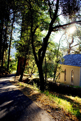
statepark morning trees sky church nature forest gold town site claire cabin woods catholic unitedstates path sony ghost stjohns historic alpha dslr discovery daybreak coloma johnmarshall suttersmill calfornia toney wellpreserved sonya200 mygearandme mygearandmepremium ringexcellence clairetoney
Morning Services
california nikon d100 placercounty foresthillbridge auburnstaterecreationarea 35105mmf3545af inplacercounty
Foresthill Bridge view, Auburn State Recreation Area
instagramapp square squareformat iphoneography uploaded:by=instagram
Sometimes you get off the bike and take a hike around the lake... #lakeview #california #perfectday #hiking #trails #homestate #hearthealth #cardio #hikecalifornia #sunshine #peace #quiet #reflection
california coloma
finding gold in the valley of Coloma
Donner Pass, CA
northerncalifornia spring hiking eldoradocounty californa auburnstaterecreationarea
Spring in California
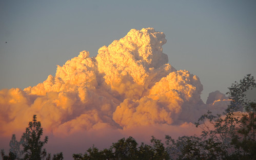
cloud northerncalifornia fire foliage placerville wildfire eldoradocounty pyrocumulus kingfire
Hell in our backyard
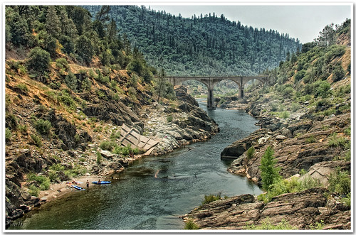
california bridge river interestingness explore 16 placercounty americanriver goldcountry nohandsbridge sfchronicle96hrs
No Hands Bridge
northerncalifornia landscape nikon d800
Foresthill Bridge
2010 - March
sunset color fall vineyard day winery clear placerville wtd boegerwinery obiewalks pwfall
Boeger Winery in the Fall
california longexposure motion fern water rock waterfall moss movement wideangle auburn landmark olympus e3 ultrawide placercounty zd nd8 ndgrad p121f olympuse3 918mm
Black Hole of Calcutta
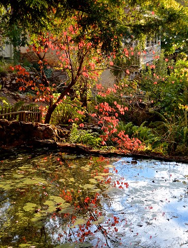
applehill pond classiccar
Boeger Winery pond
American River
ranch northerncalifornia coloma eldoradocounty highway49 ranchland canong11 lightroom4 topazsw
Forty Acres and a Mule
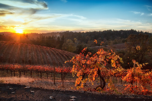
sunset color fall vineyard day winery clear placerville wtd boegerwinery obiewalks pwfall
Fall vineyard sunset
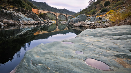
california thanksgiving ca bridge autumn reflection fall pool river puddle hands no auburn pools norcal nohands americanriver nohandsbridge
No Hands Bridge - Auburn, CA
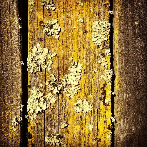
instagramapp square squareformat iphoneography uploaded:by=instagram hefe
#lichen
sunset color fall vineyard winery placerville wtd boegerwinery obiewalks
Sunset Vineyard
Morning on the river.
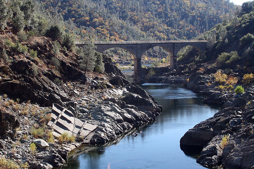
No Hands Bridge
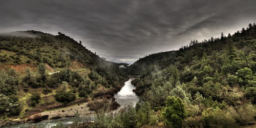
ca landscape cool hdr americanriver
Middle Fork tonemapped
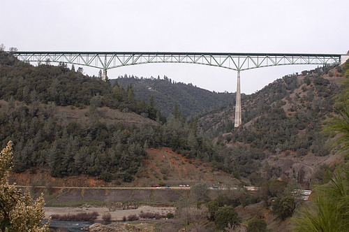
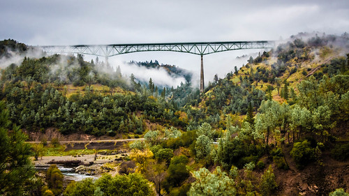
california ca bridge tower water forest river movie landscape geotagged steel hill topv999 structures bridges engineering auburn location structure rivers xxx topv9999 base basejumping engineer foresthill span 28135mm confluence footings stunt spans northfork highest americanriver tallest facts goldcountry discoverychannel foundations reshoot civilengineering foresthillbridge middlefork landscapephotography basejump steeltruss californiagoldcountry landscapephotos auburndam basejumpers stuntjunkies
Foresthill Bridge Over the North Fork of the American River