Elevation of Sunset Hills Dr SE, Turner, OR, USA
Location: United States > Oregon > Marion County > Turner >
Longitude: -122.97869
Latitude: 44.7948957
Elevation: 204m / 669feet
Barometric Pressure: 99KPa
Elevation Map:
Satellite Map:
Related Photos:
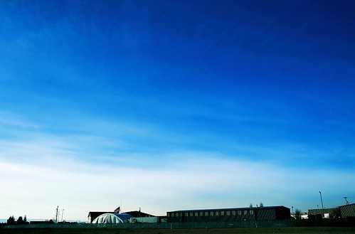
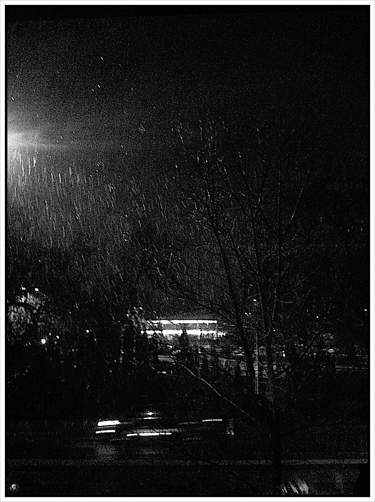
Over My Head

The Sky Is On Fire

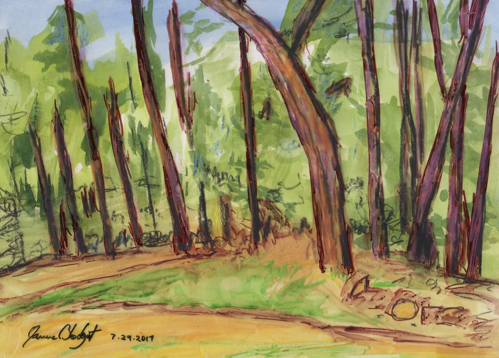
Springtime in the Woods
Whitton Farm

Evening Color
Midway Ave
View from the back patio
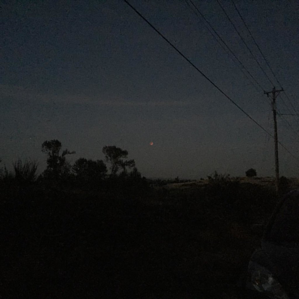
Our view of the blood moon. #lunareclipse
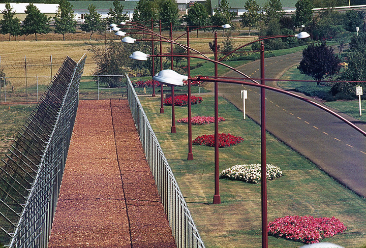
View from Guard Tower
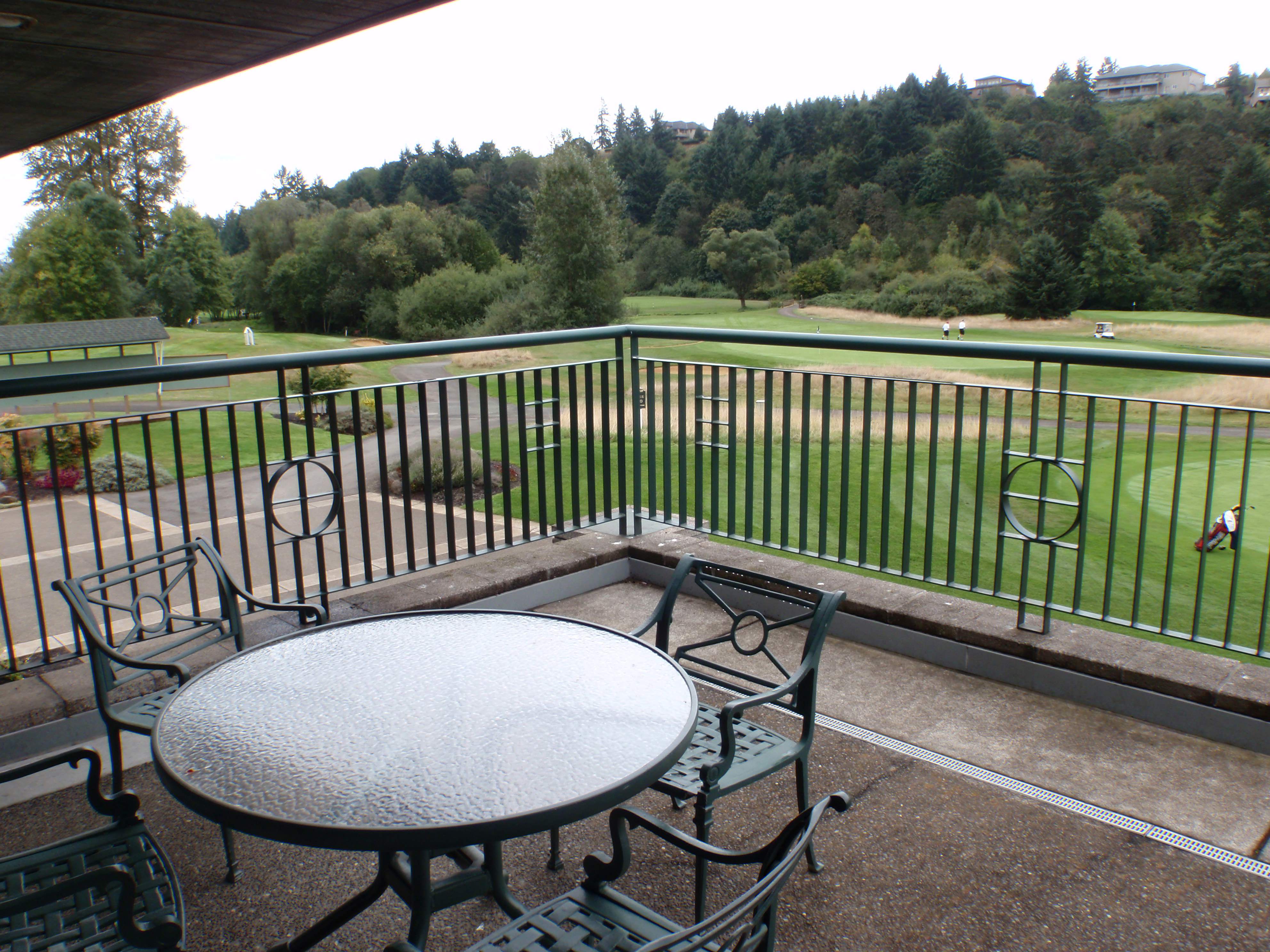
Lakeview Restaurant & Lounge at Creekside Golf Club

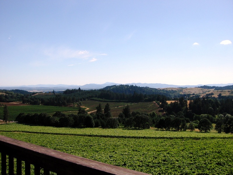
Willamette Valley Vineyard View
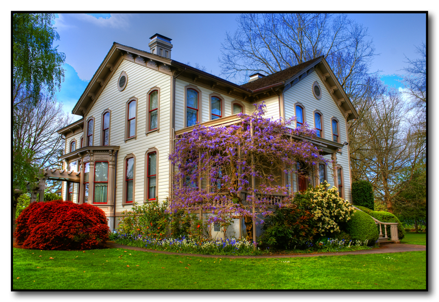
Bush House
View out office window
Another View from Deck @ Willamette Valley
T-Shirt Project
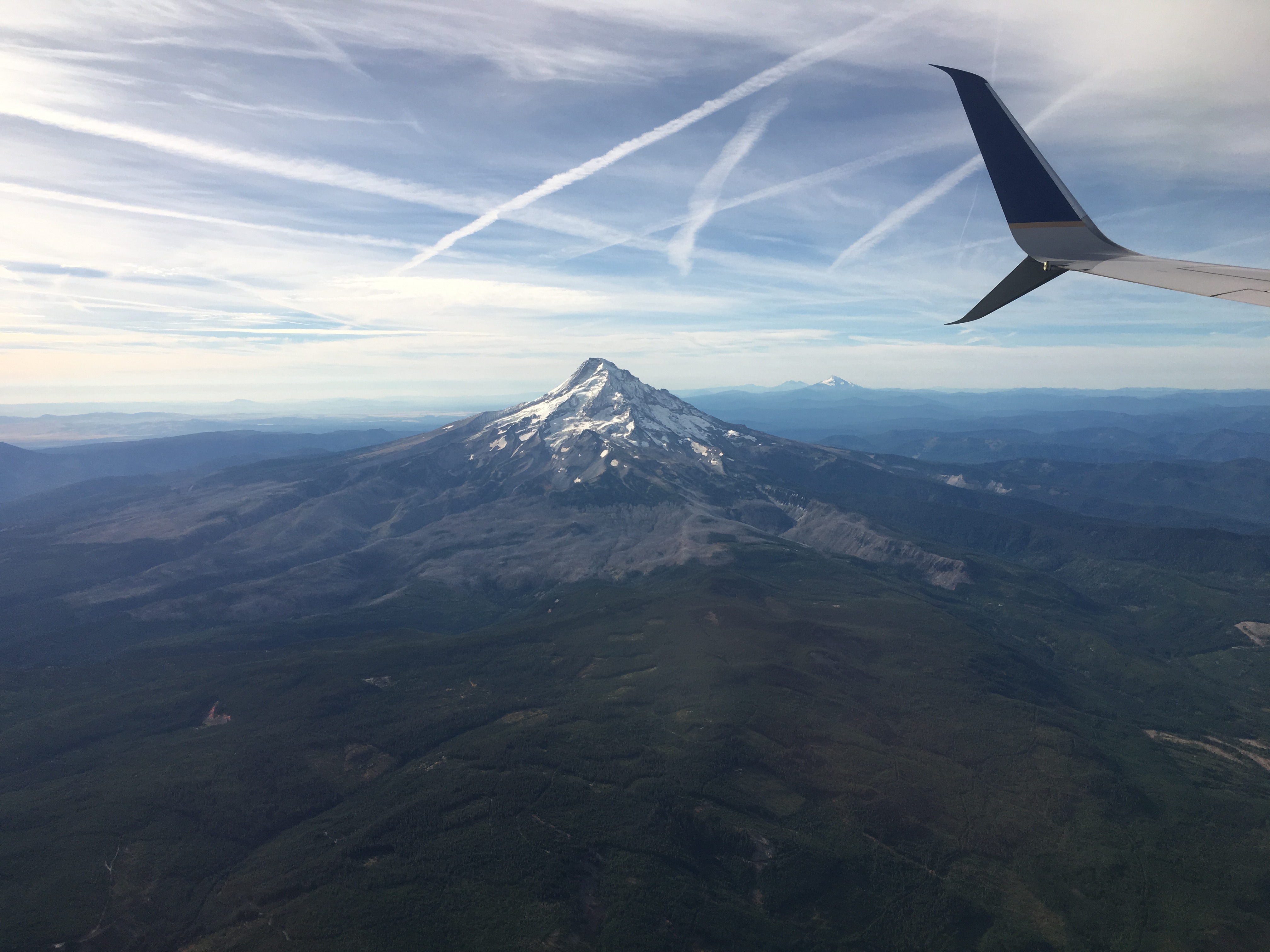
Flying over Oregon
View from Ankeny Hill
Interior Roof of Jordan Bridge

Gold at the End of the Rainbow, Bush Park, Salem, Oregon.

And The Race Is On
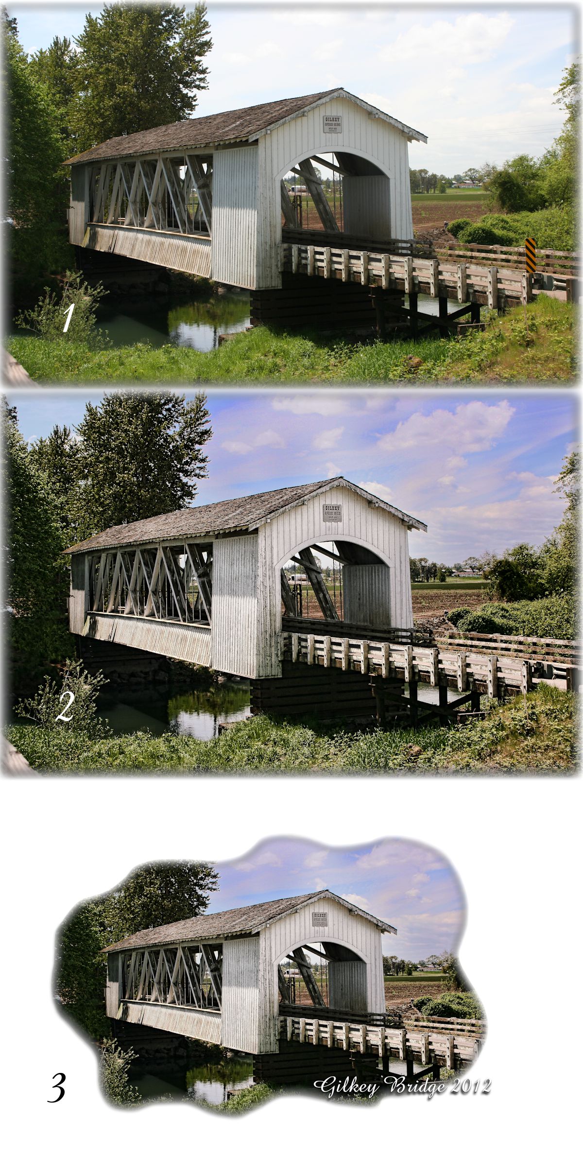
Stayton-Jordan Bridge View

Into the dark, deep, beautiful blue sky, we spread our wings...

Rolling Ridge

On The Inside
Wee Three Trees

Cascade Sunrise

The Grass is Greener

Summer’s End
Eagle Marsh from Ankeny Hill Overlook
Happy Trails to You
Green Slough

Willamette River

Minto Island Winter Trees

Kayak on Wirth Lake
Path in the woods

Crescent moon peeking through the trees

Willamette Valley Vineyards

Vanishing Wilderness

Water reflection
Yellow Columbine

wheat fields #oregon #silverfalls #hiking #nature #vscocam #vsco #vscotravel

Home Detour
Topographic Map of Sunset Hills Dr SE, Turner, OR, USA
Find elevation by address:

Places near Sunset Hills Dr SE, Turner, OR, USA:
3711 Rainbow Ridge Dr Se
9558 39th Ave Se
4981 Shadow Hills Dr Se
Pacific Ridge Lane Southeast
Marion
5952 A St Se
673 Scenic Heights Dr Se
Jefferson
North Sunrise Drive
436 Sunrise Dr S
46544 Jefferson Hwy
46544 Jefferson Hwy
46544 Jefferson Hwy
46544 Jefferson Hwy
46544 Jefferson Hwy
38247 Jefferson-scio Dr
39119 Shilling Dr
40030 Stayton Scio Loop
Scio
1207 W Ida St
Recent Searches:
- Elevation of Corso Fratelli Cairoli, 35, Macerata MC, Italy
- Elevation of Tallevast Rd, Sarasota, FL, USA
- Elevation of 4th St E, Sonoma, CA, USA
- Elevation of Black Hollow Rd, Pennsdale, PA, USA
- Elevation of Oakland Ave, Williamsport, PA, USA
- Elevation of Pedrógão Grande, Portugal
- Elevation of Klee Dr, Martinsburg, WV, USA
- Elevation of Via Roma, Pieranica CR, Italy
- Elevation of Tavkvetili Mountain, Georgia
- Elevation of Hartfords Bluff Cir, Mt Pleasant, SC, USA