Elevation map of Marion County, OR, USA
Location: United States > Oregon >
Longitude: -122.59274
Latitude: 44.8446393
Elevation: 605m / 1985feet
Barometric Pressure: 94KPa
Elevation Map:
Satellite Map:
Related Photos:

Abiqua Extinguishes the Sun

Farmfield View
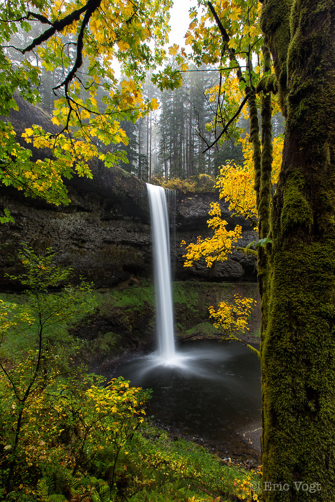
South Silver Falls
The beginning is always today…

Liquid Cooled Lava House

Abiqua Falls ~ Morning Glow

Butte Creek Falls, Autumn Study #1
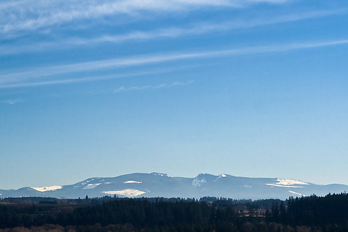
In The Distance
Winter, Middle North Falls, Silver Falls in sliver

Middle North Falls, spring study

Arrival at the Amphitheater
Middle North Falls

Abiqua Creek Study #2

South Falls, Autumn Study 2009
My Personal Roadmap

Abiqua Falls

Abiqua Falls

Middle North Falls - Full

North Falls
Beautiful Butte

Middle North Falls

It’s Yellow Fever

March behind South Falls

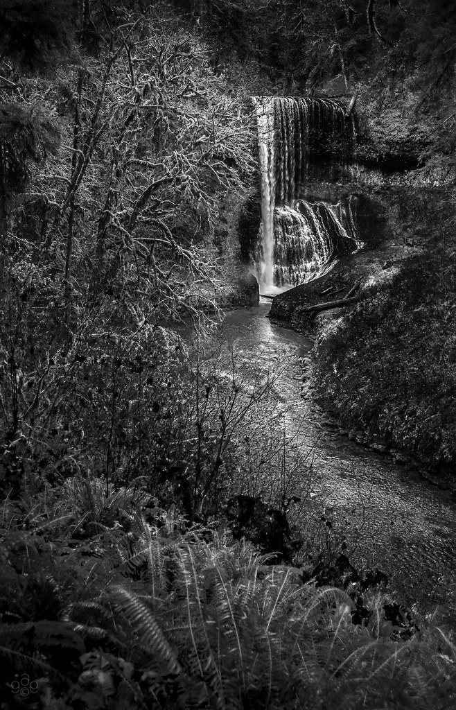
Where the ferns live

How did they get down there?
A Pool for the Wood Spirits

Streaming Through Autumn
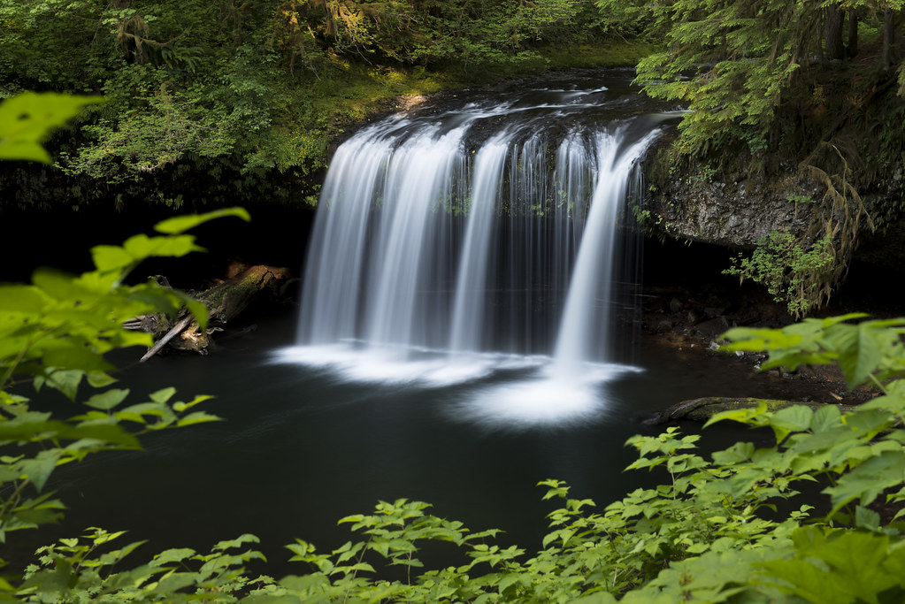
Upper Butte Creek Falls

Gold and Silver
Your Highness

Abiqua Falls
Upper Butte Falls

God sleeps in the minerals, awakens in plants, walks in animals, and thinks in man...
Basaltic Amphitheater, Abiqua Falls, Oregon

North Falls

Whitewashed Treasure

lower south falls

One more of Abiqua Falls
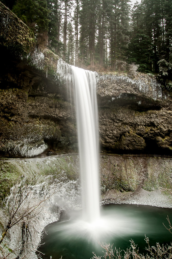
South Silver Falls [Explored]
Topographic Map of Marion County, OR, USA
Find elevation by address:

Places in Marion County, OR, USA:
Salem
Silverton
Scotts Mills
Detroit
Stayton
Keizer
Turner
Sublimity
Jefferson
Lyons
Mehama
Hubbard
Saint Paul
Marion
Aurora
Aumsville
Four Corners
Lancaster Dr NE, Salem, OR, USA
Windsor Island Rd N, Salem, OR, USA
Gold Butte
Drake Crossing
Macleay
Mount Angel
Pratum
National Forest Development Road 810
Gervais
Places near Marion County, OR, USA:
Silver Falls State Park
Silver Falls Oregon State Park Fee Station
19436 Neal Rd Se
Schafer Lane Southeast
Drake Crossing
17761 Jasper Ln Se
2154 Crooked Finger Rd Ne
2254 Crooked Finger Rd Ne
Moss Lane
3524 Crooked Finger Rd Ne
3530 Crooked Finger Rd Ne
3500 Crooked Finger Rd Ne
North Abiqua Road
Crooked Finger Road Northeast
3676 Briar Knob Loop
Briar Knob Loop
18317 Calinda Dr Ne
42601 S Sawtell Rd
33806 N Fork Rd
35146 N Fork Rd
Recent Searches:
- Elevation of Corso Fratelli Cairoli, 35, Macerata MC, Italy
- Elevation of Tallevast Rd, Sarasota, FL, USA
- Elevation of 4th St E, Sonoma, CA, USA
- Elevation of Black Hollow Rd, Pennsdale, PA, USA
- Elevation of Oakland Ave, Williamsport, PA, USA
- Elevation of Pedrógão Grande, Portugal
- Elevation of Klee Dr, Martinsburg, WV, USA
- Elevation of Via Roma, Pieranica CR, Italy
- Elevation of Tavkvetili Mountain, Georgia
- Elevation of Hartfords Bluff Cir, Mt Pleasant, SC, USA