Elevation of Salem, OR, USA
Location: United States > Oregon > Marion County >
Longitude: -123.03509
Latitude: 44.9428975
Elevation: 48m / 157feet
Barometric Pressure: 101KPa
Elevation Map:
Satellite Map:
Related Photos:

A Fisheye View

Autumn's last gasp

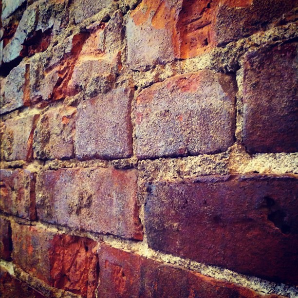
A Bridge Above

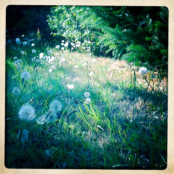
Springtime in the Woods

Chemeketa and Church

Evening Color
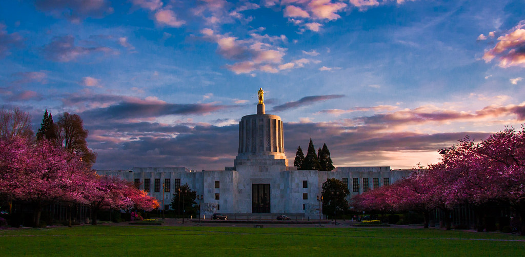
Sunset on the Oregon State Capitol

"There's a Church in the Valley by the Wildwood"

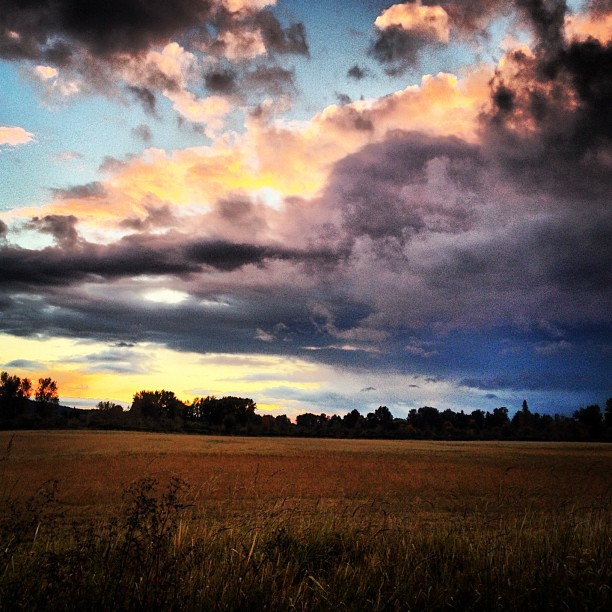
The Sky Is On Fire
Midway Ave

Gold at the End of the Rainbow, Bush Park, Salem, Oregon.

Willamette Valley Vineyard View

State Street - Salem, Oregon

Cristom Vineyards
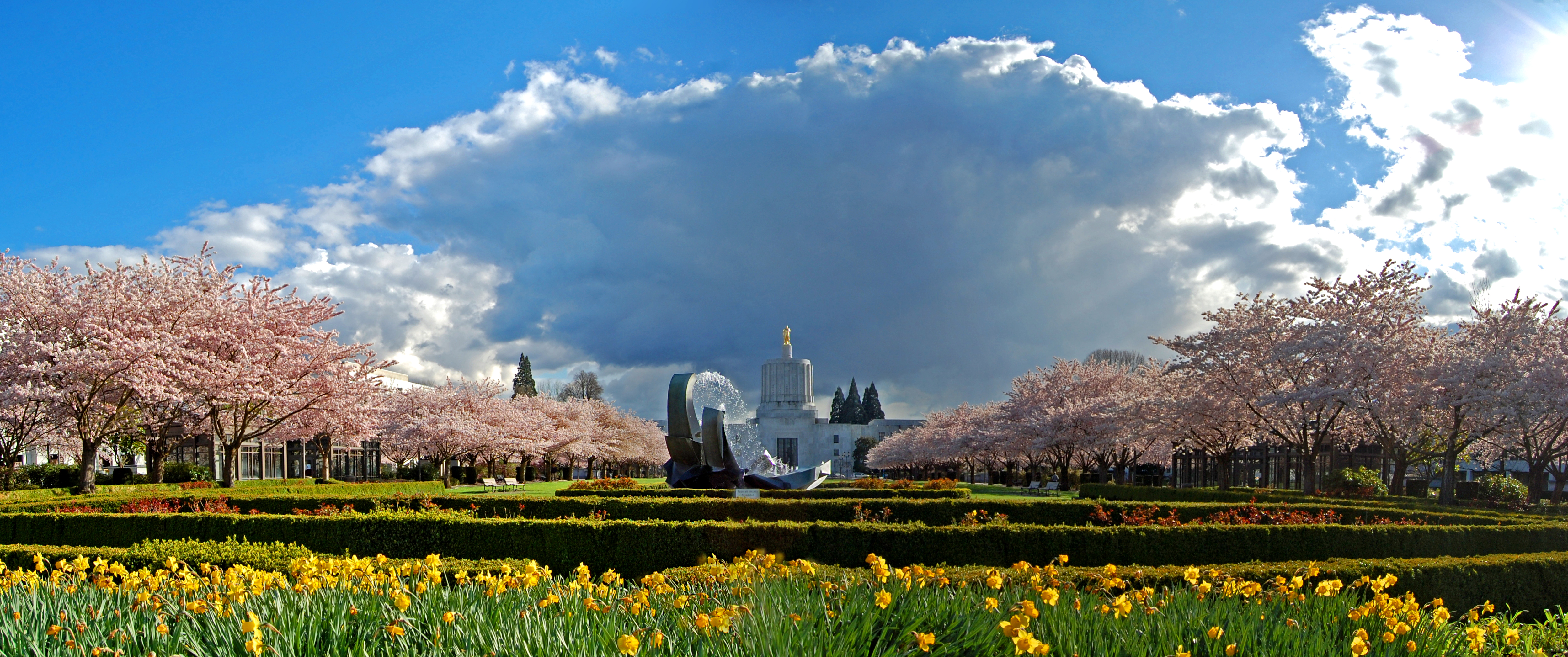
Salem Cherry Blossoms Panorama
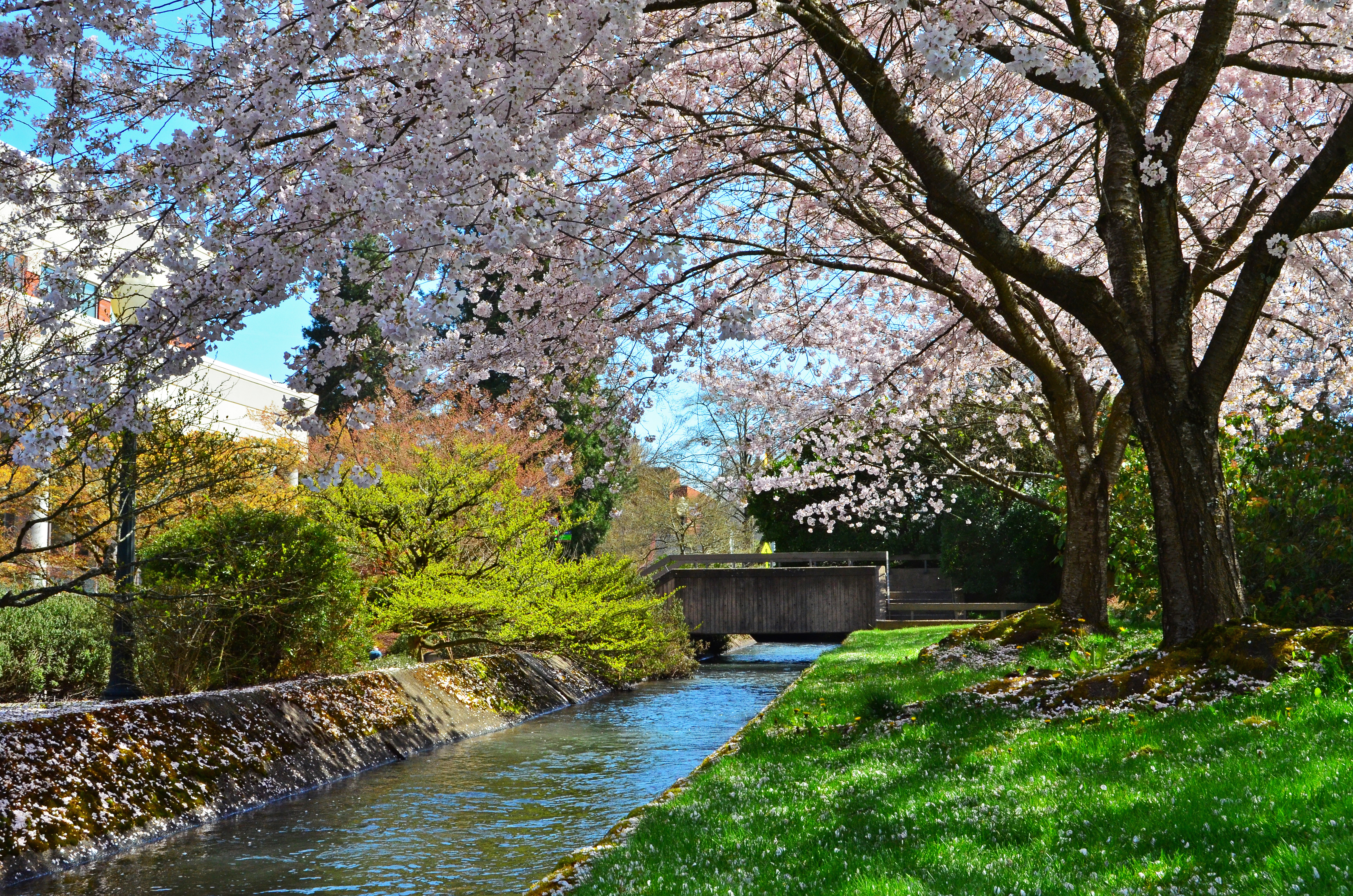
Sakura At Willamette University
View out office window
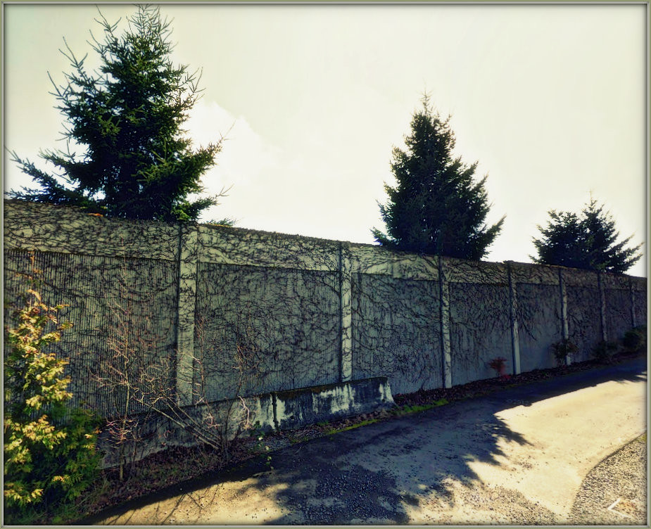
Prison View

View from Willamette Valley Vineyards

City View Cemetery

Oregon State Capitol

Into the dark, deep, beautiful blue sky, we spread our wings...
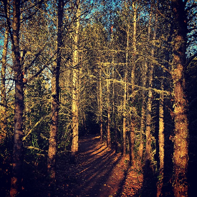
Tree Path

The Off-Season

Wheatfeild Trees

Autumn season in Willamette Valley in Oregon #oregon #autumn# harvest #wineries #willamettevalley #wine.
Wee Three Trees

Crescent moon peeking through the trees

HSOYF!
Sunset in October

Willamette River
Prepping for German class

wllamette-at-minto-2
Path in the woods
bees knees.

South Falls.
43635870_376920130805-3361-1dnna1c

The Golden Sea
Bethel Heights

Water reflection
Pulling Down The House
Willamette River
Topographic Map of Salem, OR, USA
Find elevation by address:

Places in Salem, OR, USA:
West Salem
South Gateway
Sunnyslope
Faye Wright
Croisan-illahe
Morningside
South Salem
Northeast Salem
Southeast Mill Creek
Northeast Neighbors
Central Area
North Lancaster
Southeast Salem
Grant
Highland
Wallace Rd NW, Salem, OR, USA
Liberty Rd S, Salem, OR, USA
Bethel Heights Rd NW, Salem, OR, USA
Jade St NE, Salem, OR, USA
Jory Hill Road South
Plow Court Northeast
Shawn Court Northeast
80th Avenue Northeast
Tumalo Drive Southeast
Rainbow Drive Southeast
Liberty Road South
Radiance Avenue Southeast
Fairview Avenue Southeast
Salem, OR, USA
State Street
Bunker Hill Road South
Andrea Drive Northwest & Eola Drive Northwest
Deer Lake Court Southeast
Salem, OR, USA
Northgate
46th Place Southeast
Places near Salem, OR, USA:
530 Center St Ne
170 High St Ne
685 Court St Ne
Marion County Circuit Court
Central Area
760 Church St Ne
900 Court St Ne
Gilbert House Children's Museum
The Grand Hotel In Salem
315 Winter St Se
Pringle Park Plaza Hair Design
500 Summer St Ne
Court Street Northeast
550 Capitol St Ne
Salem City Hall
Salem Health - Hospital
Salem Health - Hospital: Emergency Room
Grant
1050 Summer St Ne
1400 Broadway St Ne
Recent Searches:
- Elevation of Corso Fratelli Cairoli, 35, Macerata MC, Italy
- Elevation of Tallevast Rd, Sarasota, FL, USA
- Elevation of 4th St E, Sonoma, CA, USA
- Elevation of Black Hollow Rd, Pennsdale, PA, USA
- Elevation of Oakland Ave, Williamsport, PA, USA
- Elevation of Pedrógão Grande, Portugal
- Elevation of Klee Dr, Martinsburg, WV, USA
- Elevation of Via Roma, Pieranica CR, Italy
- Elevation of Tavkvetili Mountain, Georgia
- Elevation of Hartfords Bluff Cir, Mt Pleasant, SC, USA