Elevation of Stayton Scio Loop, Scio, OR, USA
Location: United States > Oregon > Linn County > Scio >
Longitude: -122.84130
Latitude: 44.742477
Elevation: 142m / 466feet
Barometric Pressure: 100KPa
Elevation Map:
Satellite Map:
Related Photos:

My Personal Roadmap

Jordan Creek, Study #1
T-Shirt Project

Balcony View
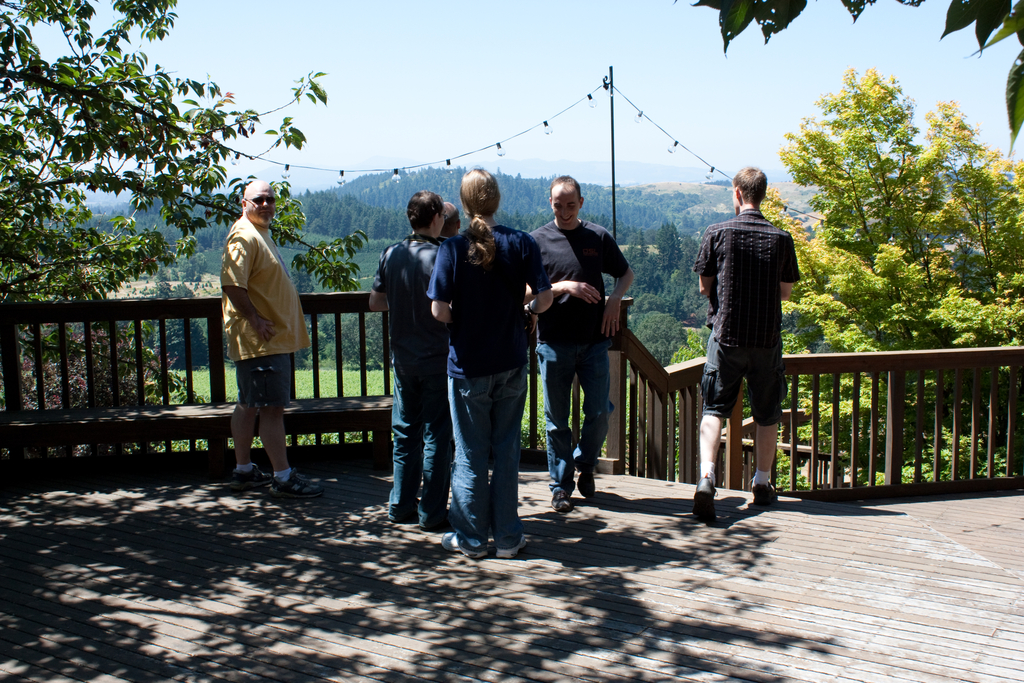
Checking out the view

Farmfield View

Thistle Cones blown over by the strong winds....

Over My Head
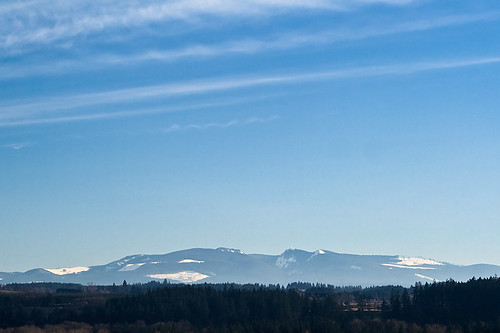
In The Distance

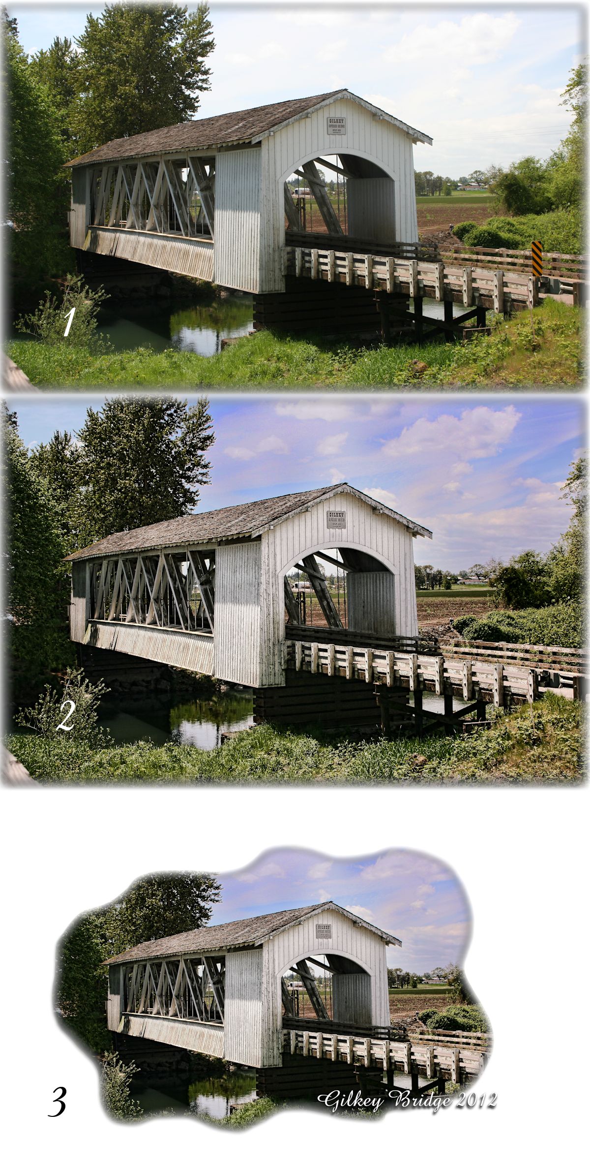
Gilkey Bridge

Hawthorn Berries.

Willamette Valley Vineyard View

Jordan Creek, Study #2

View from Willamette Valley Vineyards
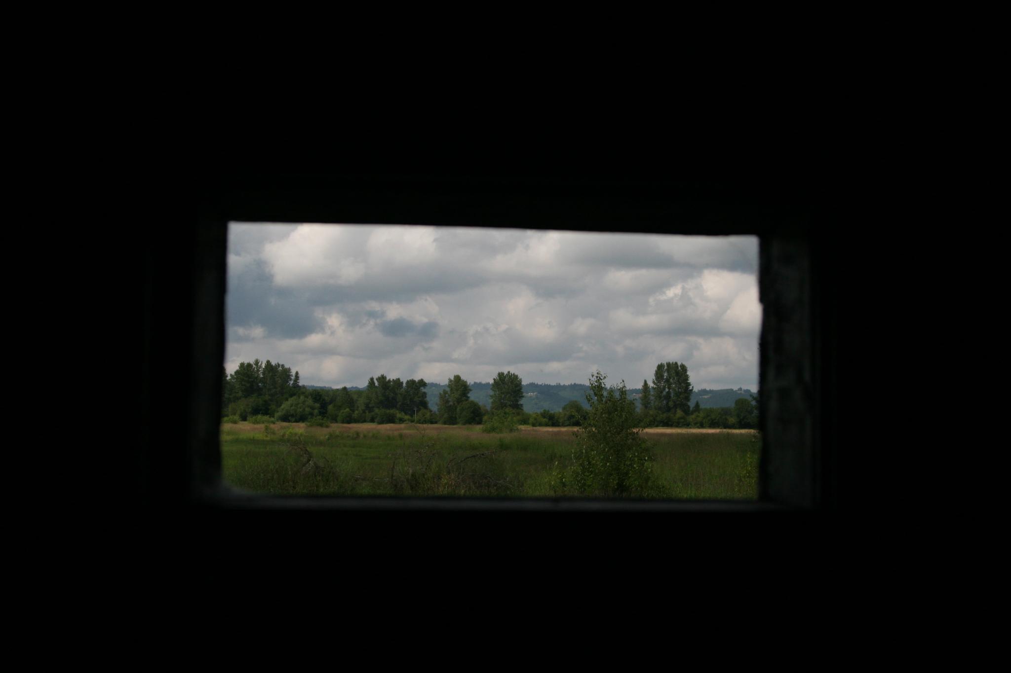
Out the Ankeny viewing port

Larwood Covered Bridge

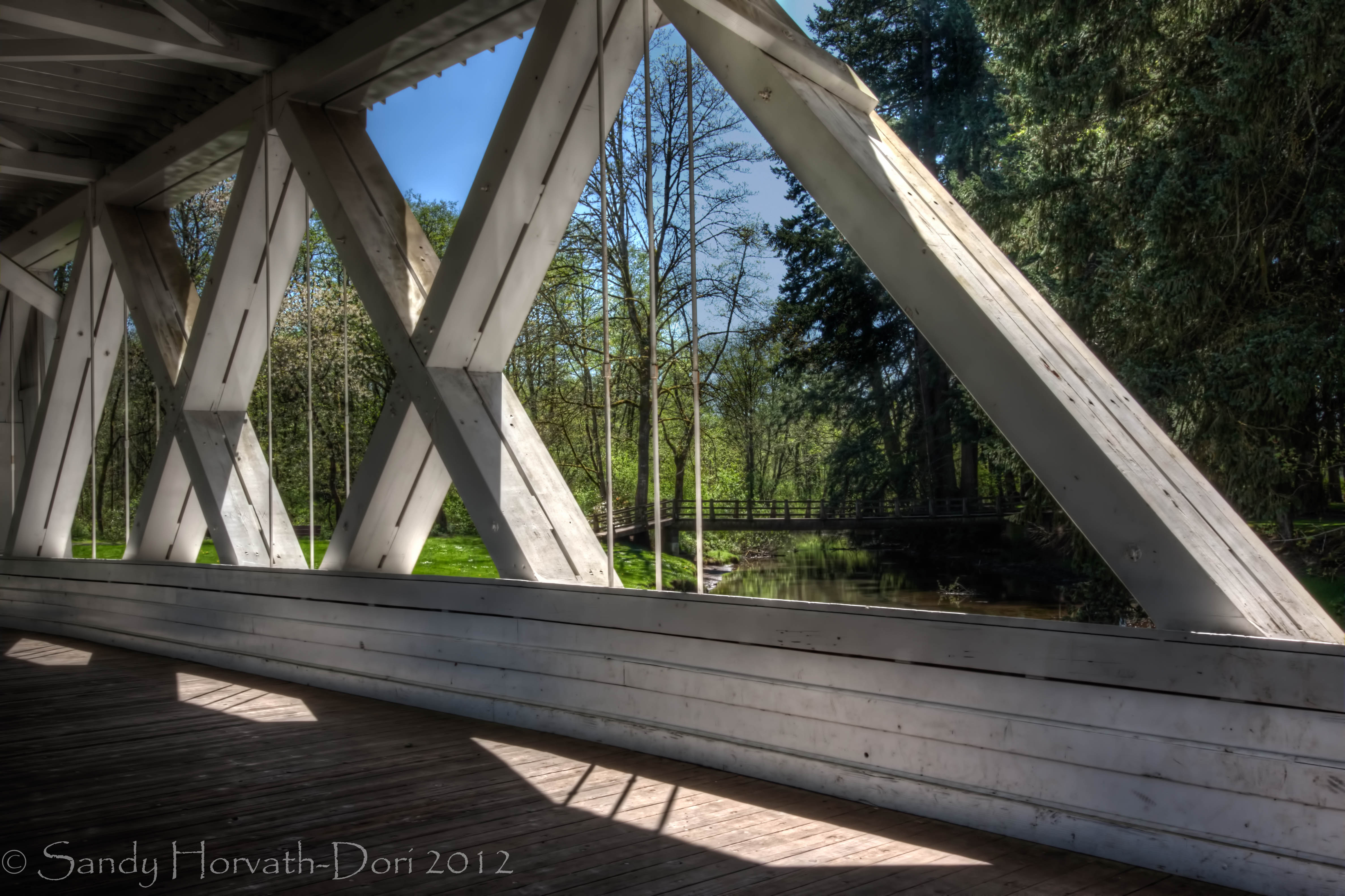
Interior Roof of Jordan Bridge

Field & Trees
Stayton-Jordan Bridge View

At The End Of The Day

A View of Thomas Creek from Hannah Bridge

It’s Yellow Fever

Pole Position

Autumn season in Willamette Valley in Oregon #oregon #autumn# harvest #wineries #willamettevalley #wine.

Midsummer Light

Surrounded By Grain

Salem Ditch

Willamette Valley Vineyards

Vanishing Wilderness

The Power Of Framing

Evidence Of Travel
Earthly Dendrites

82/365

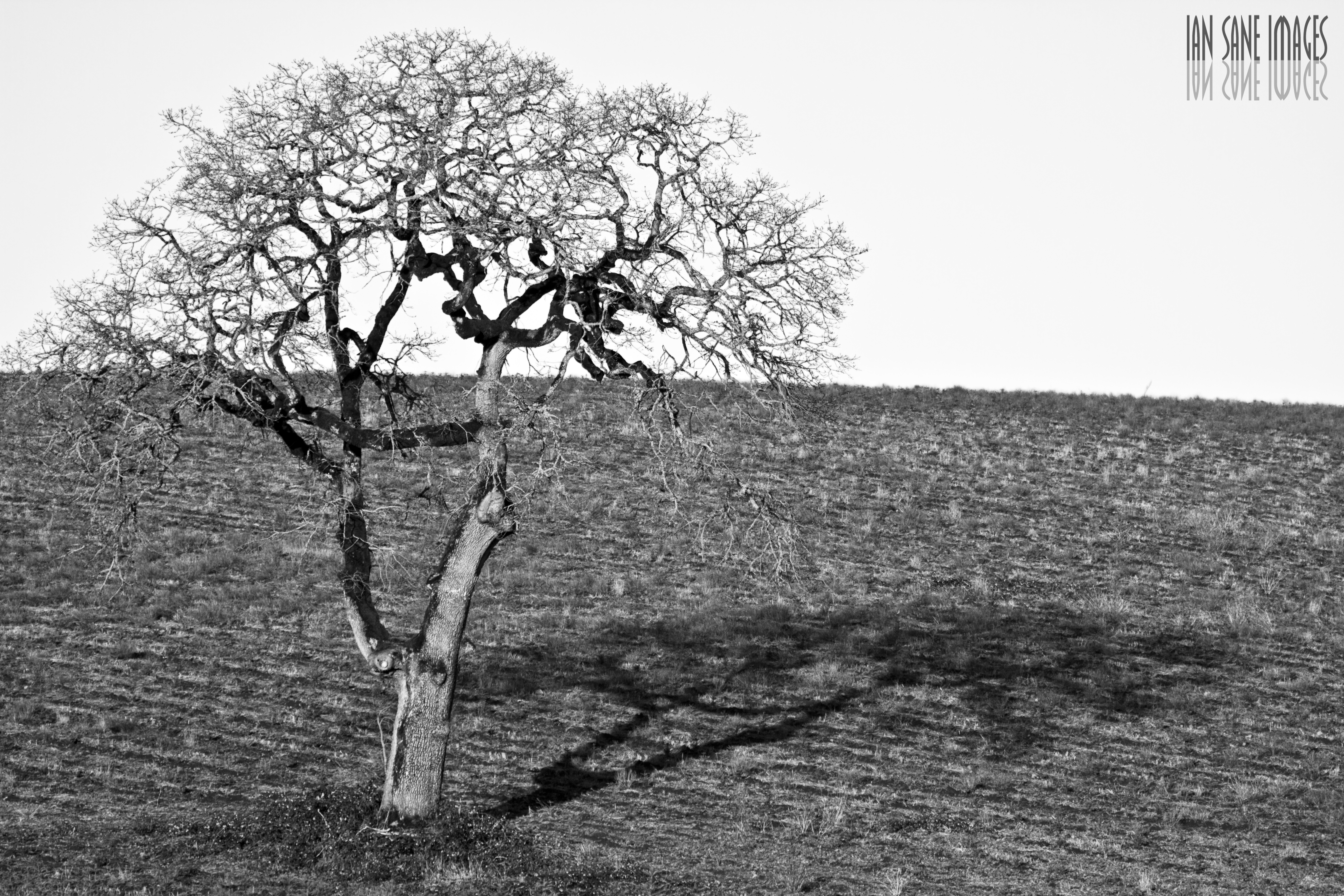
The Off-Season

Rock Spotting

Willamette Valley Vineyards
Topographic Map of Stayton Scio Loop, Scio, OR, USA
Find elevation by address:

Places near Stayton Scio Loop, Scio, OR, USA:
39119 Shilling Dr
Scio
38247 Jefferson-scio Dr
1207 W Ida St
37800 Farris Rd
41728 Kingston Jordan Rd
Stayton
1305 N Douglas Ave
Bc Nelson Dds, Dentist
Kingston-Lyons Dr SE, Stayton, OR, USA
1175 Deerfield Ct
Kingston-Lyons Dr SE, Stayton, OR, USA
5952 A St Se
Marion
38345 Sledge Rd
4981 Shadow Hills Dr Se
Rogers Mountain
Old Mehama Road Southeast
4075 Sunset Hills Dr Se
3711 Rainbow Ridge Dr Se
Recent Searches:
- Elevation of Corso Fratelli Cairoli, 35, Macerata MC, Italy
- Elevation of Tallevast Rd, Sarasota, FL, USA
- Elevation of 4th St E, Sonoma, CA, USA
- Elevation of Black Hollow Rd, Pennsdale, PA, USA
- Elevation of Oakland Ave, Williamsport, PA, USA
- Elevation of Pedrógão Grande, Portugal
- Elevation of Klee Dr, Martinsburg, WV, USA
- Elevation of Via Roma, Pieranica CR, Italy
- Elevation of Tavkvetili Mountain, Georgia
- Elevation of Hartfords Bluff Cir, Mt Pleasant, SC, USA