Elevation of Sunset Creek Ln, Lenoir, NC, USA
Location: United States > North Carolina > Caldwell County > Lenoir > Lenoir >
Longitude: -81.6706766
Latitude: 35.9167527
Elevation: 365m / 1198feet
Barometric Pressure: 0KPa
Related Photos:

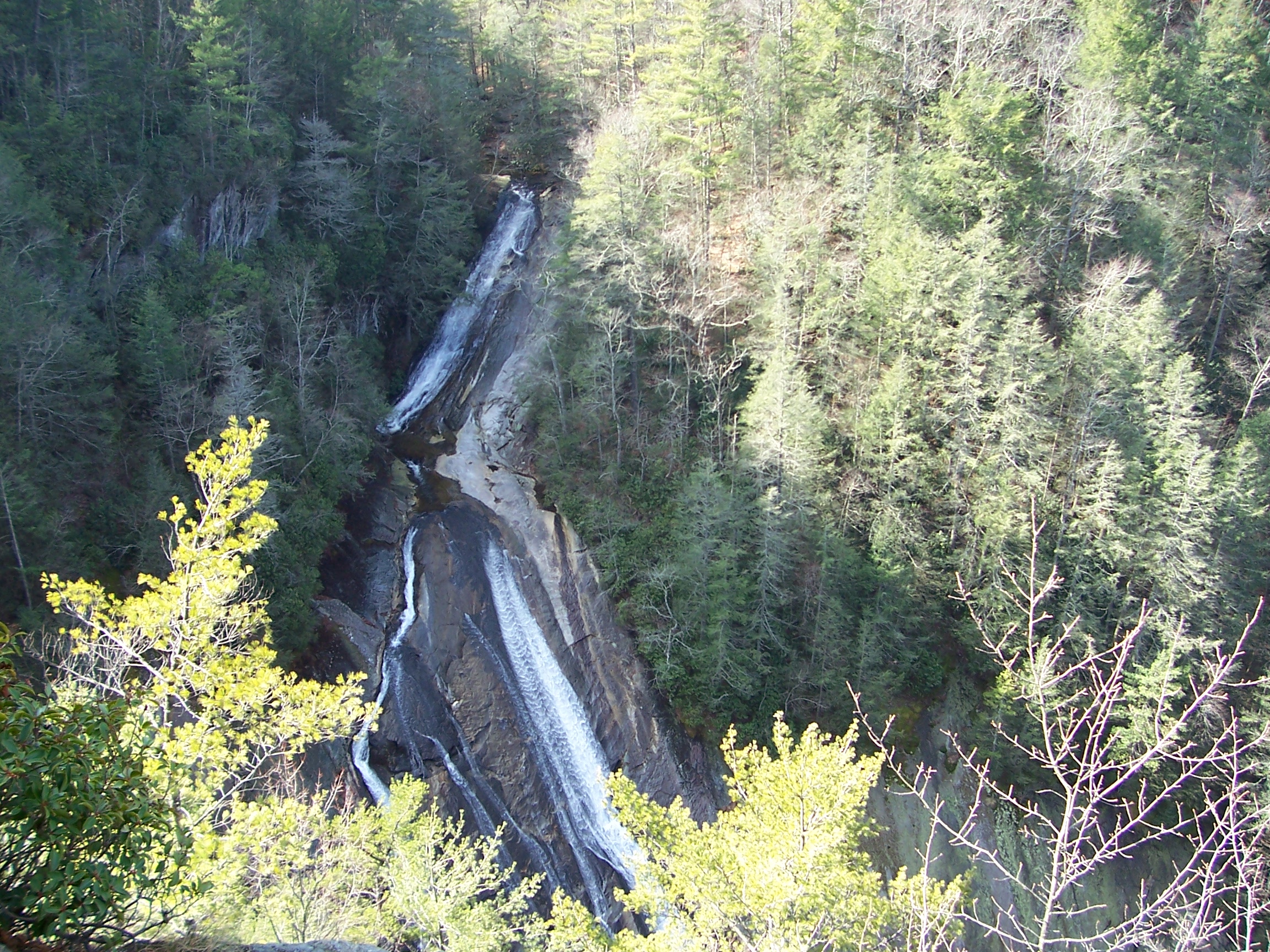
Bard Falls

Moonset Over the Blue Ridge Mountains 48/52
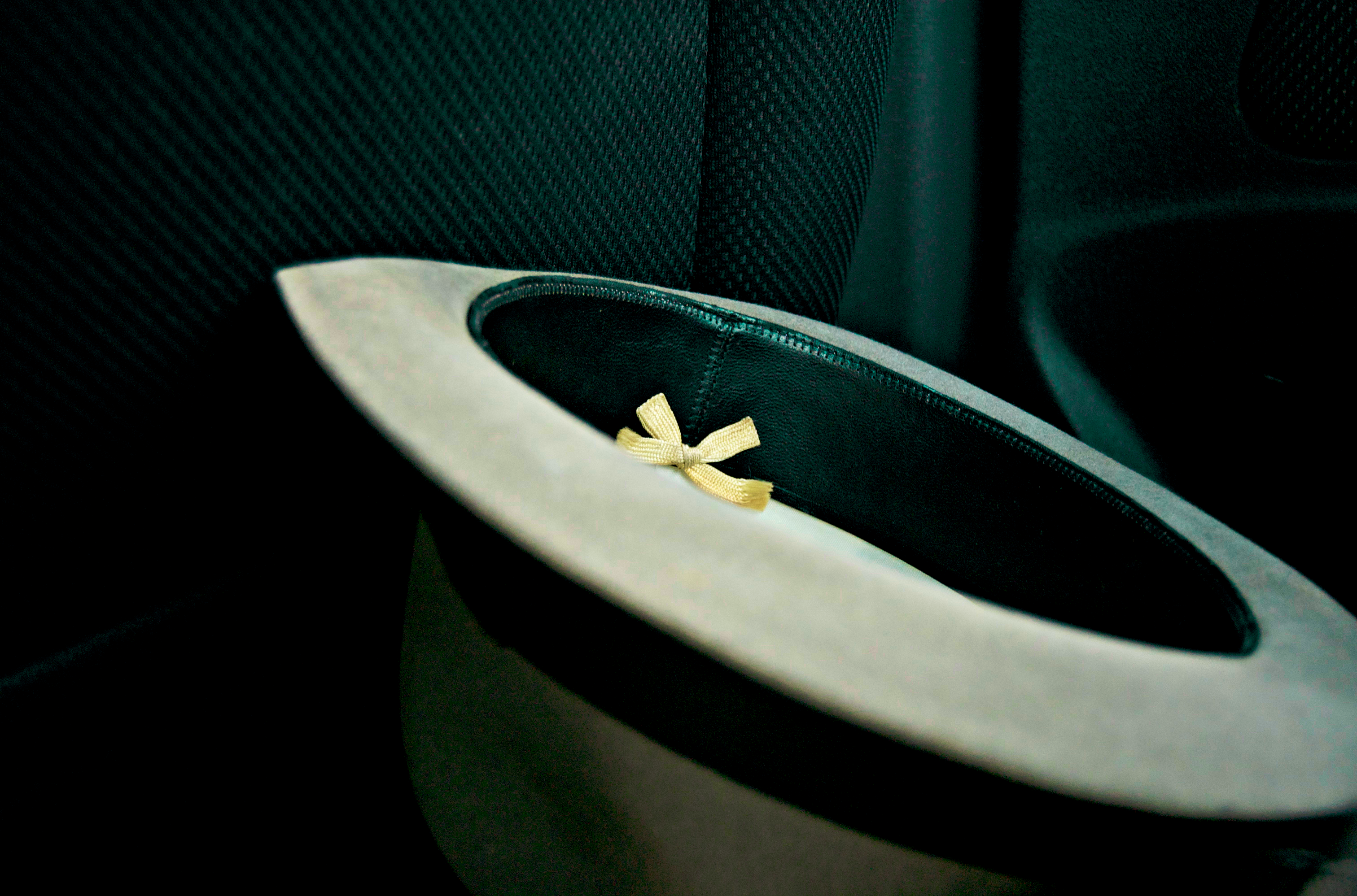
[Full View] Old Hat, Downtown Lenoir, Jonathan Cox Photoshoot
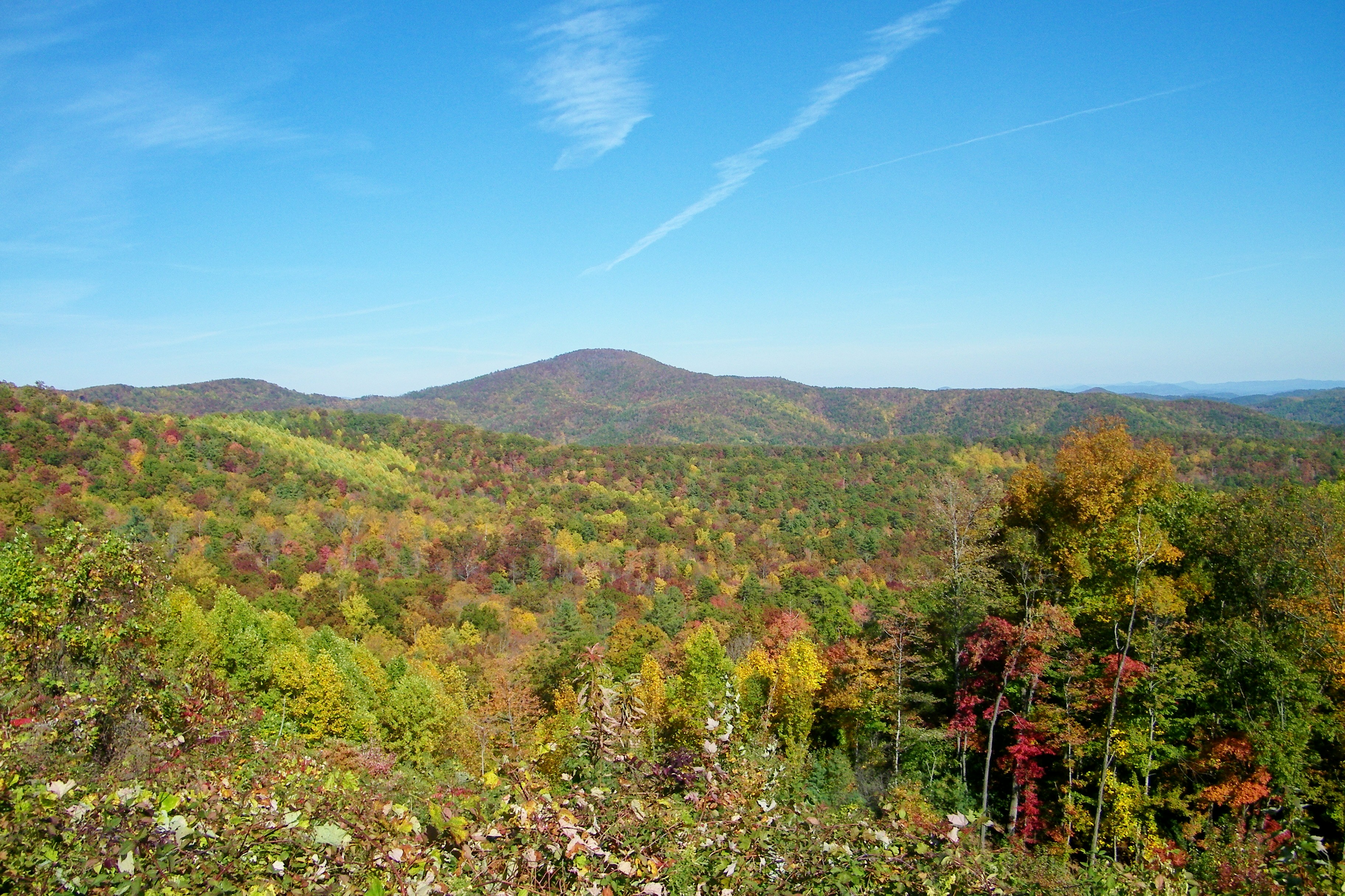
Brown Mountain Overlook

South Harper Creek Falls

Aisle view of the cross

The Rock 272/365

Brown Mountain OHV Trail

Brown Mountain Overlook

Smitty's View

131128-6111 Brown Mountain Overlook
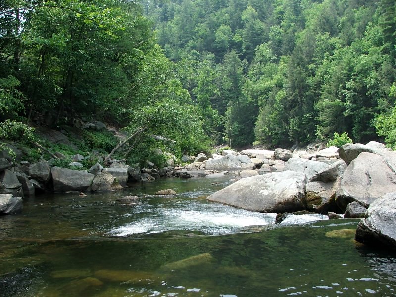
Wilson's Creek near Lenoir, NC
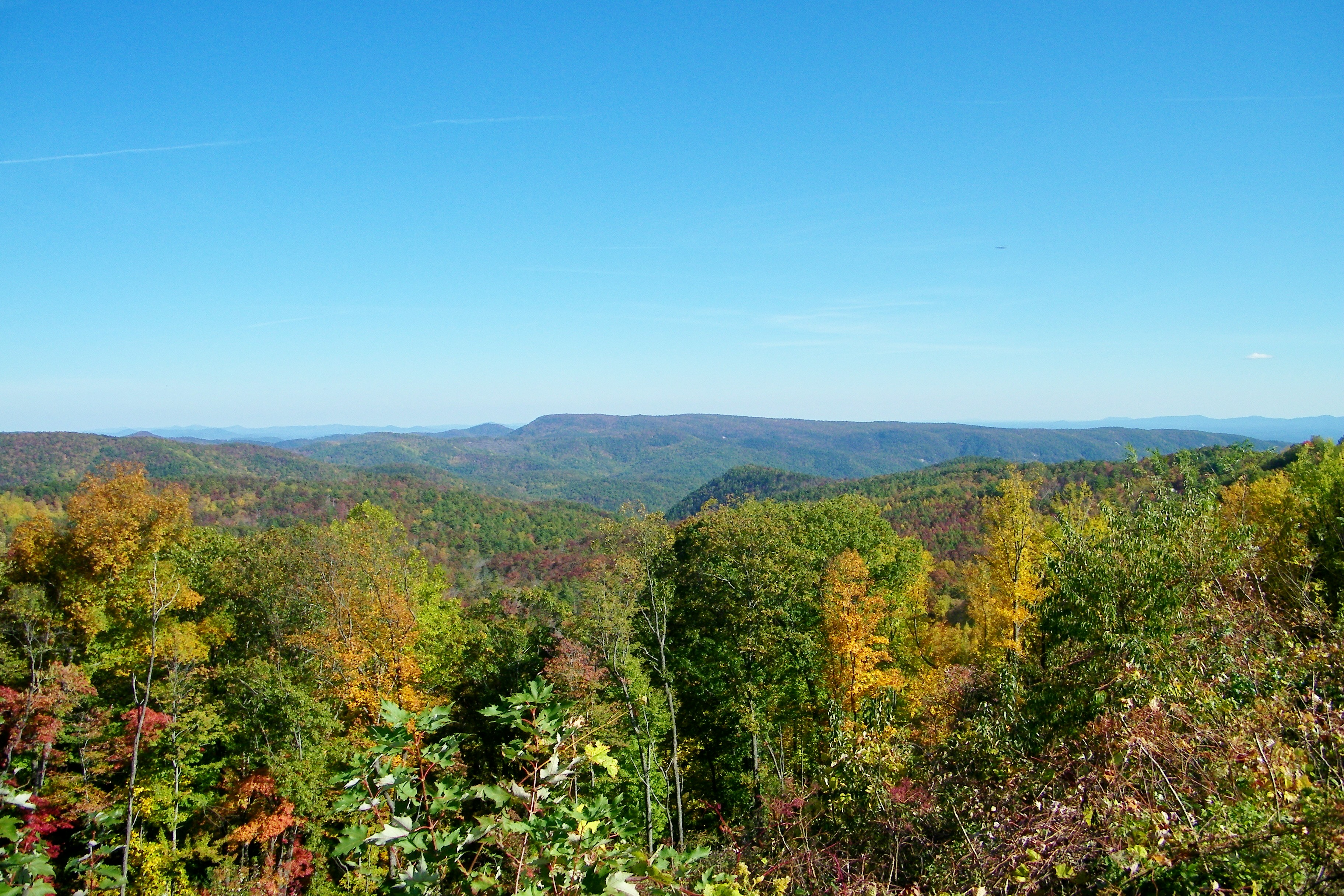
Brown Mountain Overlook

2346 View Brown Mountain Img_13507

Smokey Creek Hunting Club
South Harper Creek Falls

linville gorge wilderness mountains at sunset

Brown Mountain Overlook
091227-128 Brown Mountain

Mt. Mitchell

2347 View Brown Mountain Img_13508

Enchanted Valley

Fall Farm Morning

Bard Falls

Irish Creek 273/365

Bard Falls III

Wilson Creek, Pisgah National Forest, North Carolina

Brown Mountain Beach Road, Pisgah National Forest, North Carolina

Wilson Creek Trail, Pisgah National Forest, North Carolina

Wilson Creek Wild and Scenic River, North Carolina

Smyrna Baptist Church, Brown Mountain Beach Road, North Carolina

Waterfall on Thorps Creek

2014-05-18 15.54.07

091227-125 Brown Mountain
Topographic Map of Sunset Creek Ln, Lenoir, NC, USA
Find elevation by address:

Places near Sunset Creek Ln, Lenoir, NC, USA:
The Coves Mountain River Club
2002 Johns Ridge Pkwy
2020 Johns Ridge Pkwy
5499 Cedar Cove Way
5499 Cedar Cove Way
5499 Cedar Cove Way
5499 Cedar Cove Way
5499 Cedar Cove Way
5499 Cedar Cove Way
5499 Cedar Cove Way
1397 Johns Ridge Pkwy
5611 Collette Ridge Cir
5611 Collette Ridge Cir
Collettsville
1292 Whispering Pines Ct
Equestrian Drive
Highland River Road
Narrow Gauge Drive
1705 High Country Rd
1500 Red Cedar Way
Recent Searches:
- Elevation of 10370, West 107th Circle, Westminster, Jefferson County, Colorado, 80021, USA
- Elevation of 611, Roman Road, Old Ford, Bow, London, England, E3 2RW, United Kingdom
- Elevation of 116, Beartown Road, Underhill, Chittenden County, Vermont, 05489, USA
- Elevation of Window Rock, Colfax County, New Mexico, 87714, USA
- Elevation of 4807, Rosecroft Street, Kempsville Gardens, Virginia Beach, Virginia, 23464, USA
- Elevation map of Matawinie, Quebec, Canada
- Elevation of Sainte-Émélie-de-l'Énergie, Matawinie, Quebec, Canada
- Elevation of Rue du Pont, Sainte-Émélie-de-l'Énergie, Matawinie, Quebec, J0K2K0, Canada
- Elevation of 8, Rue de Bécancour, Blainville, Thérèse-De Blainville, Quebec, J7B1N2, Canada
- Elevation of Wilmot Court North, 163, University Avenue West, Northdale, Waterloo, Region of Waterloo, Ontario, N2L6B6, Canada
- Elevation map of Panamá Province, Panama
- Elevation of Balboa, Panamá Province, Panama
- Elevation of San Miguel, Balboa, Panamá Province, Panama
- Elevation of Isla Gibraleón, San Miguel, Balboa, Panamá Province, Panama
- Elevation of 4655, Krischke Road, Schulenburg, Fayette County, Texas, 78956, USA
- Elevation of Carnegie Avenue, Downtown Cleveland, Cleveland, Cuyahoga County, Ohio, 44115, USA
- Elevation of Walhonding, Coshocton County, Ohio, USA
- Elevation of Clifton Down, Clifton, Bristol, City of Bristol, England, BS8 3HU, United Kingdom
- Elevation map of Auvergne-Rhône-Alpes, France
- Elevation map of Upper Savoy, Auvergne-Rhône-Alpes, France