Elevation of High Country Rd, Lenoir, NC, USA
Location: United States > North Carolina > Caldwell County > Lenoir > Lenoir >
Longitude: -81.6680771
Latitude: 35.8928033
Elevation: 400m / 1312feet
Barometric Pressure: 0KPa
Related Photos:
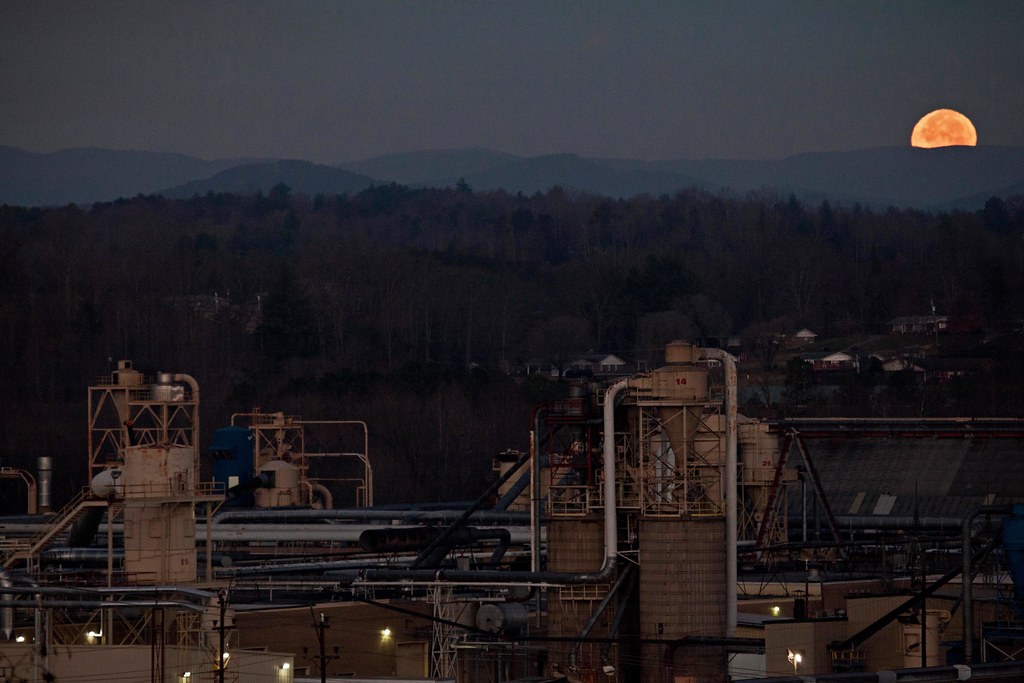
Moonset Over the Blue Ridge Mountains 48/52
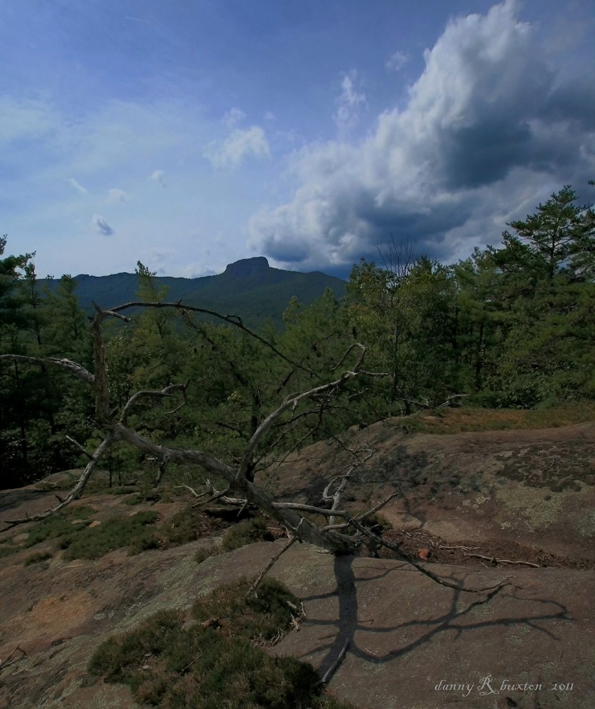
The Rock 272/365
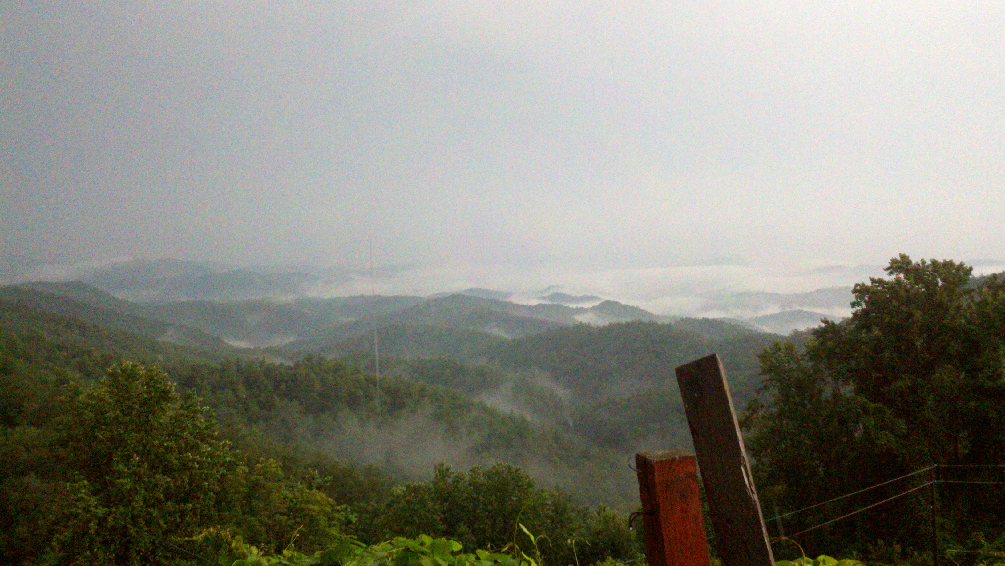
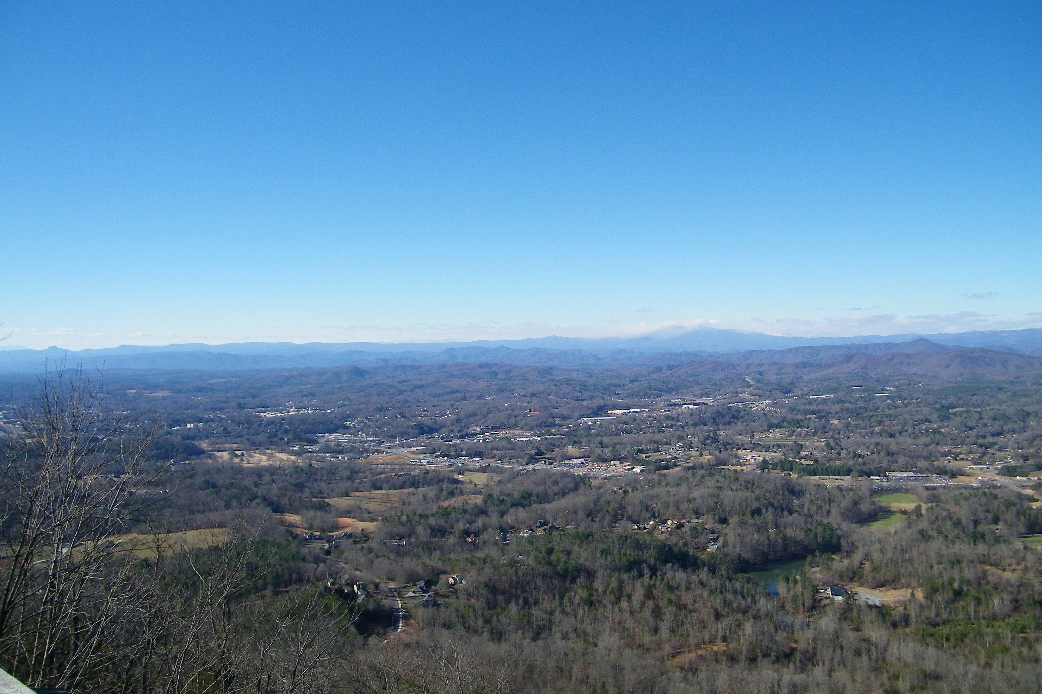
The view of the Blue Ridge Mountains just outside Blowing Rock NC.

Butterfly Bush

[Full View] Old Hat, Downtown Lenoir, Jonathan Cox Photoshoot
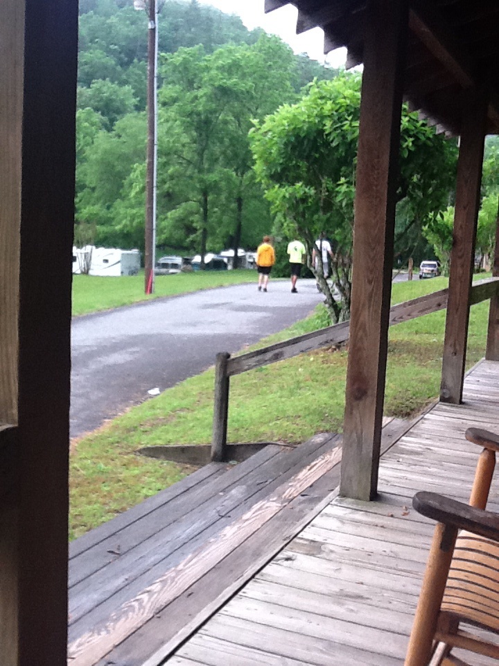
View from the porch
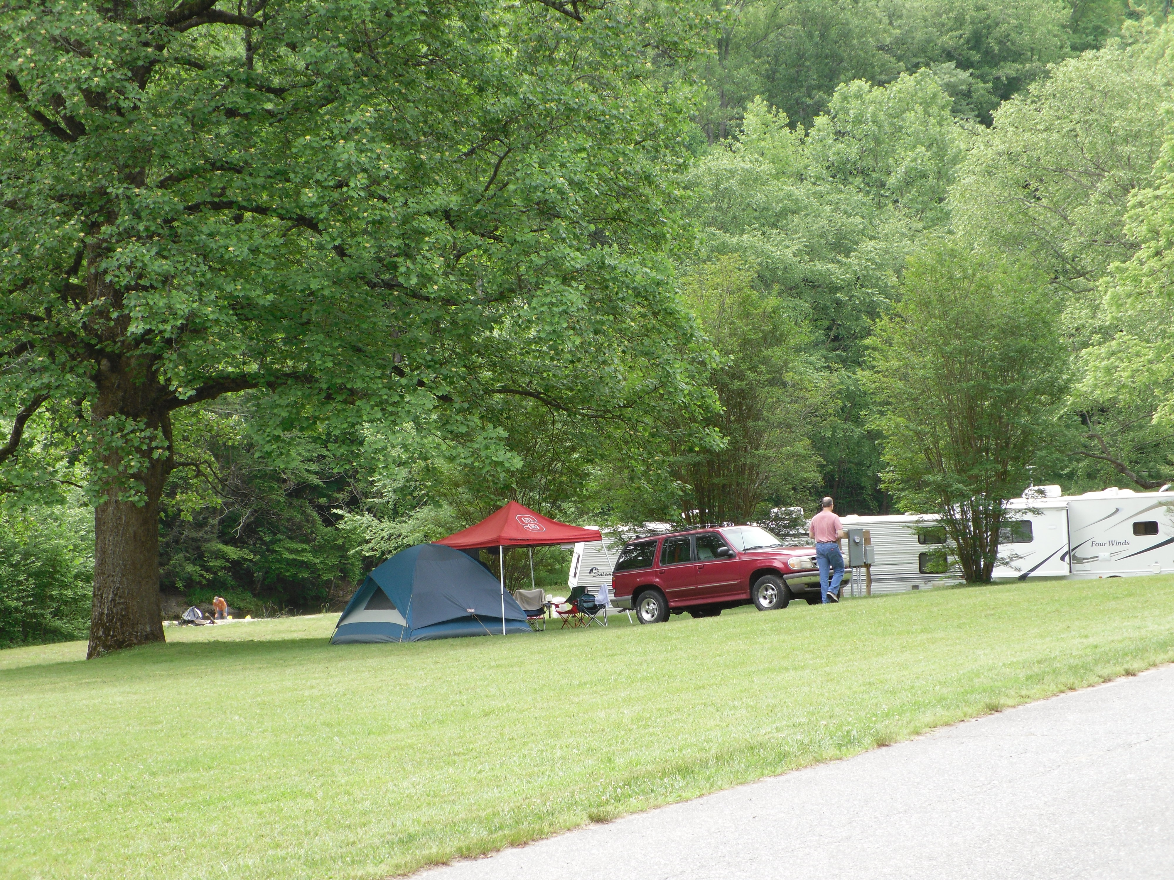
View of Tent City
Friday Cabin View
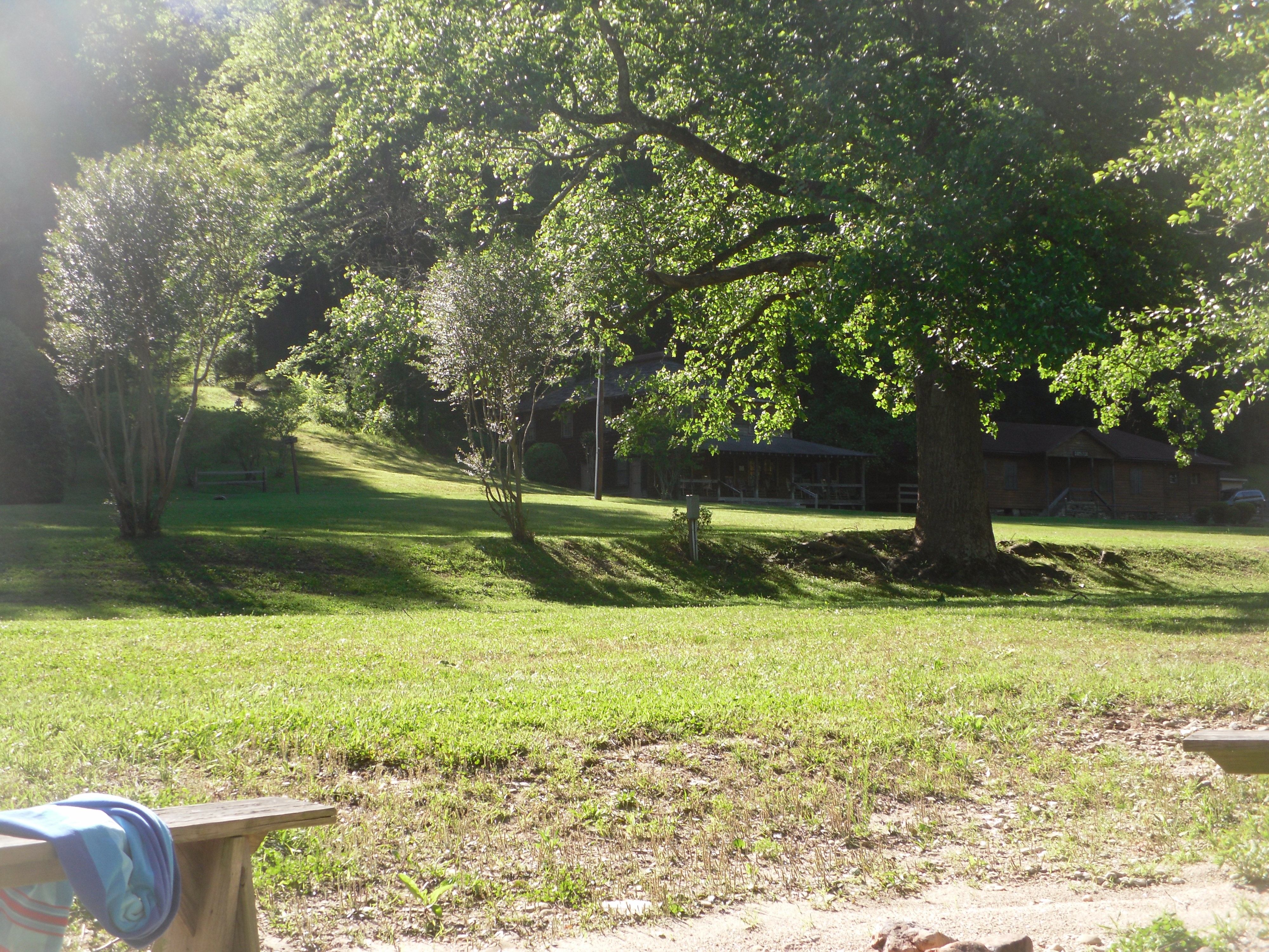
Green view
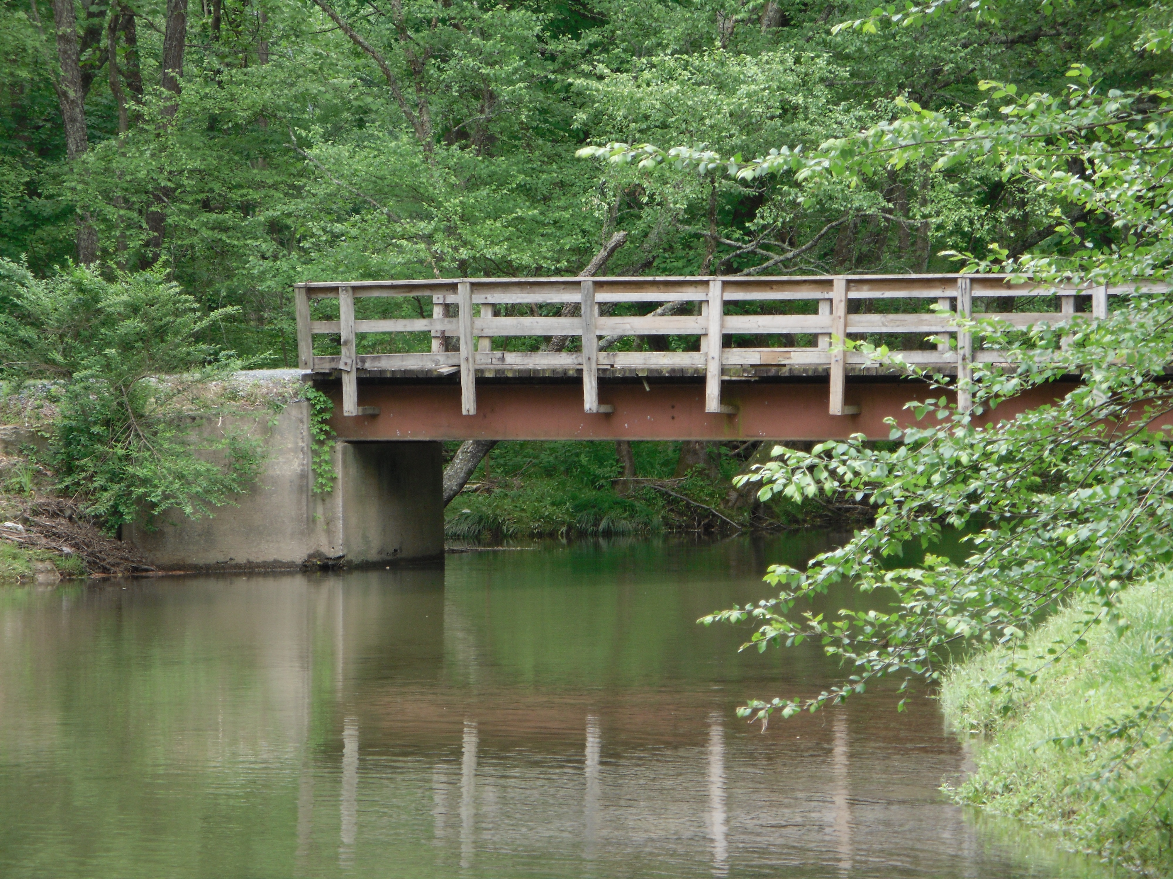
Bridge view
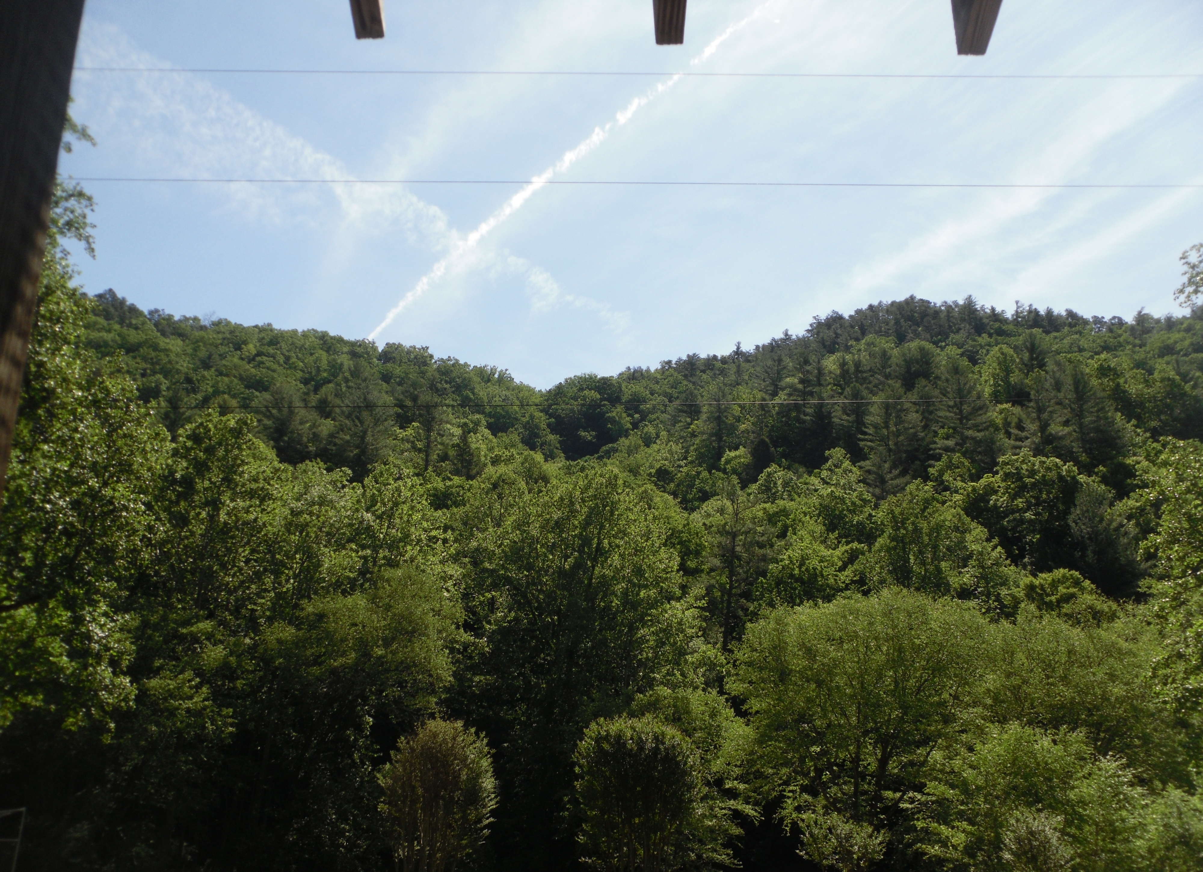
Mountain View
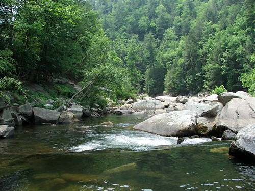
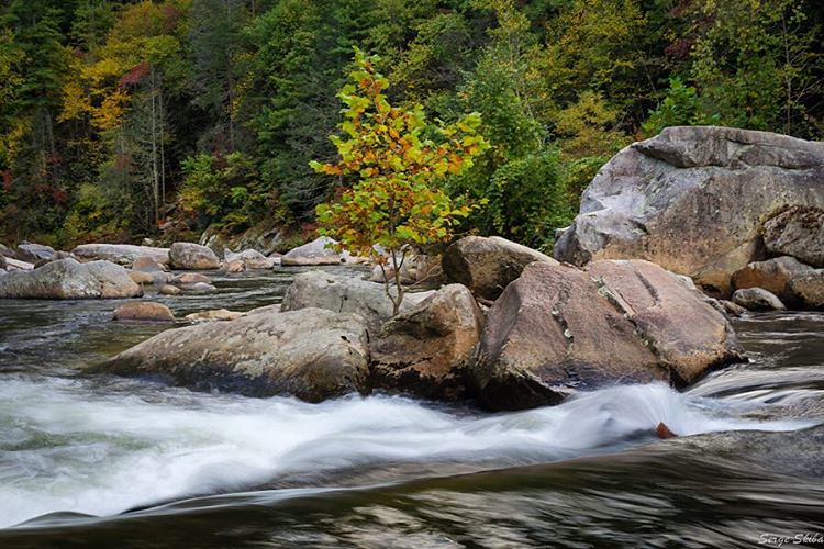
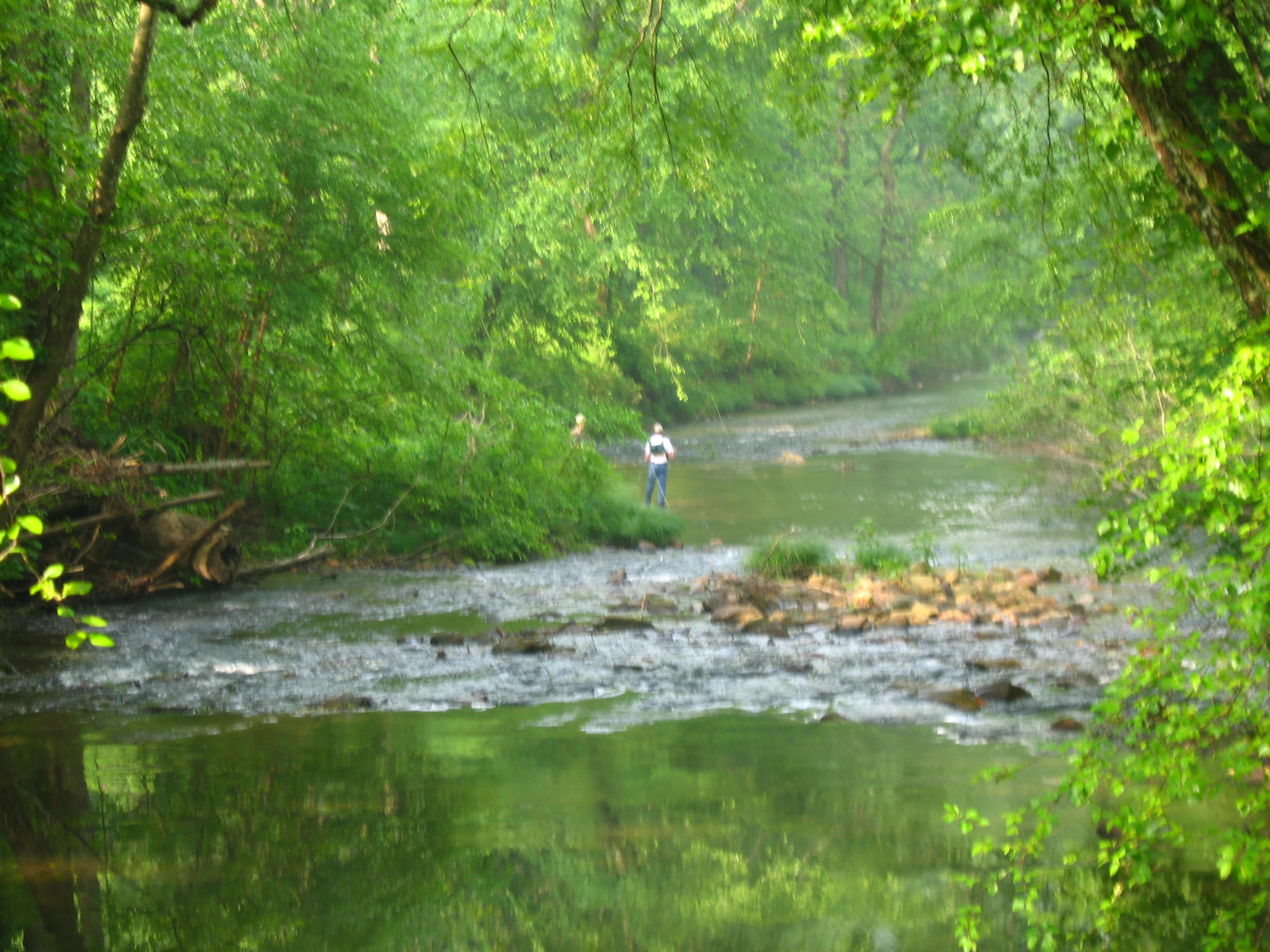
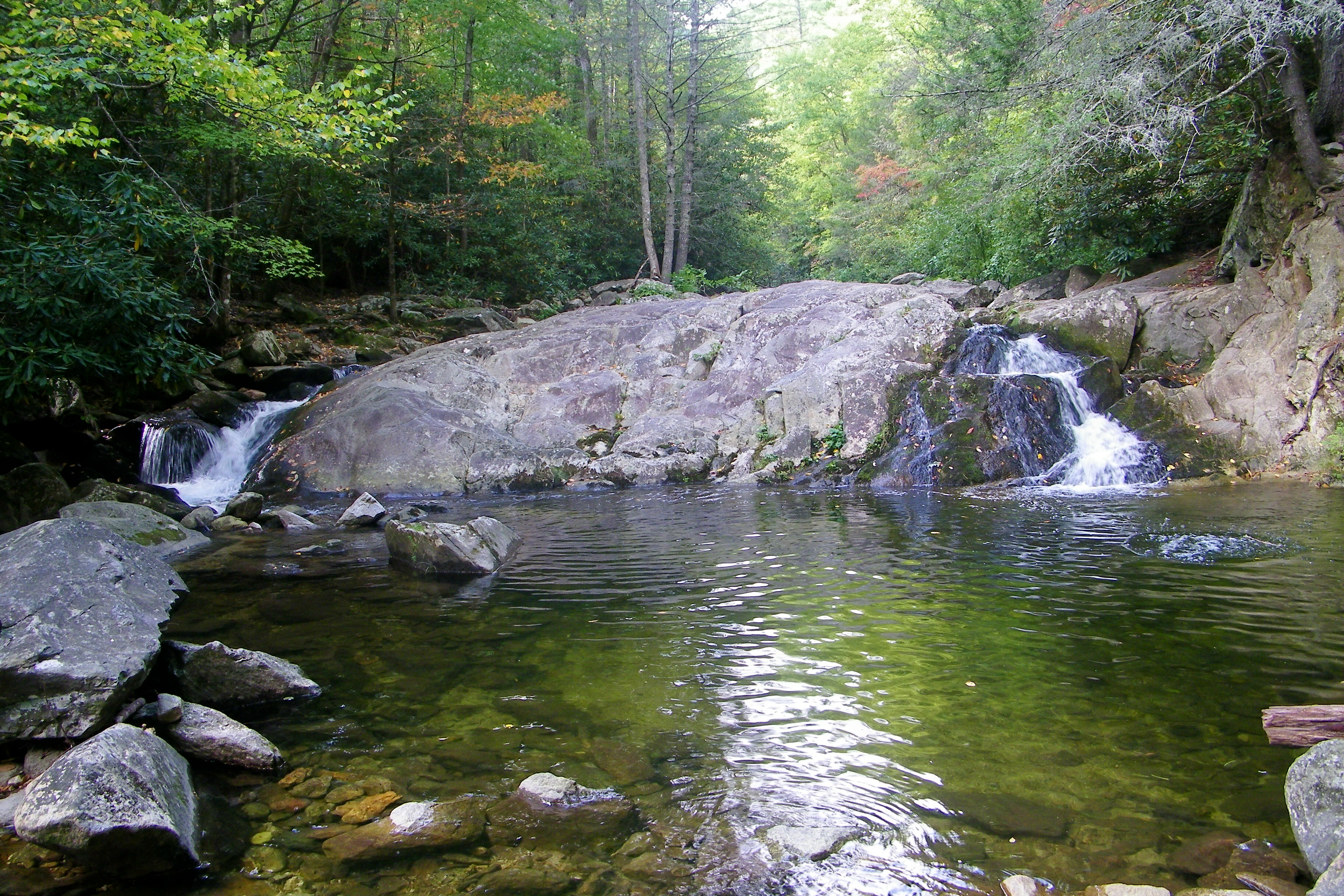
Wilson's Creek near Lenoir, NC
Hibriten Mountain
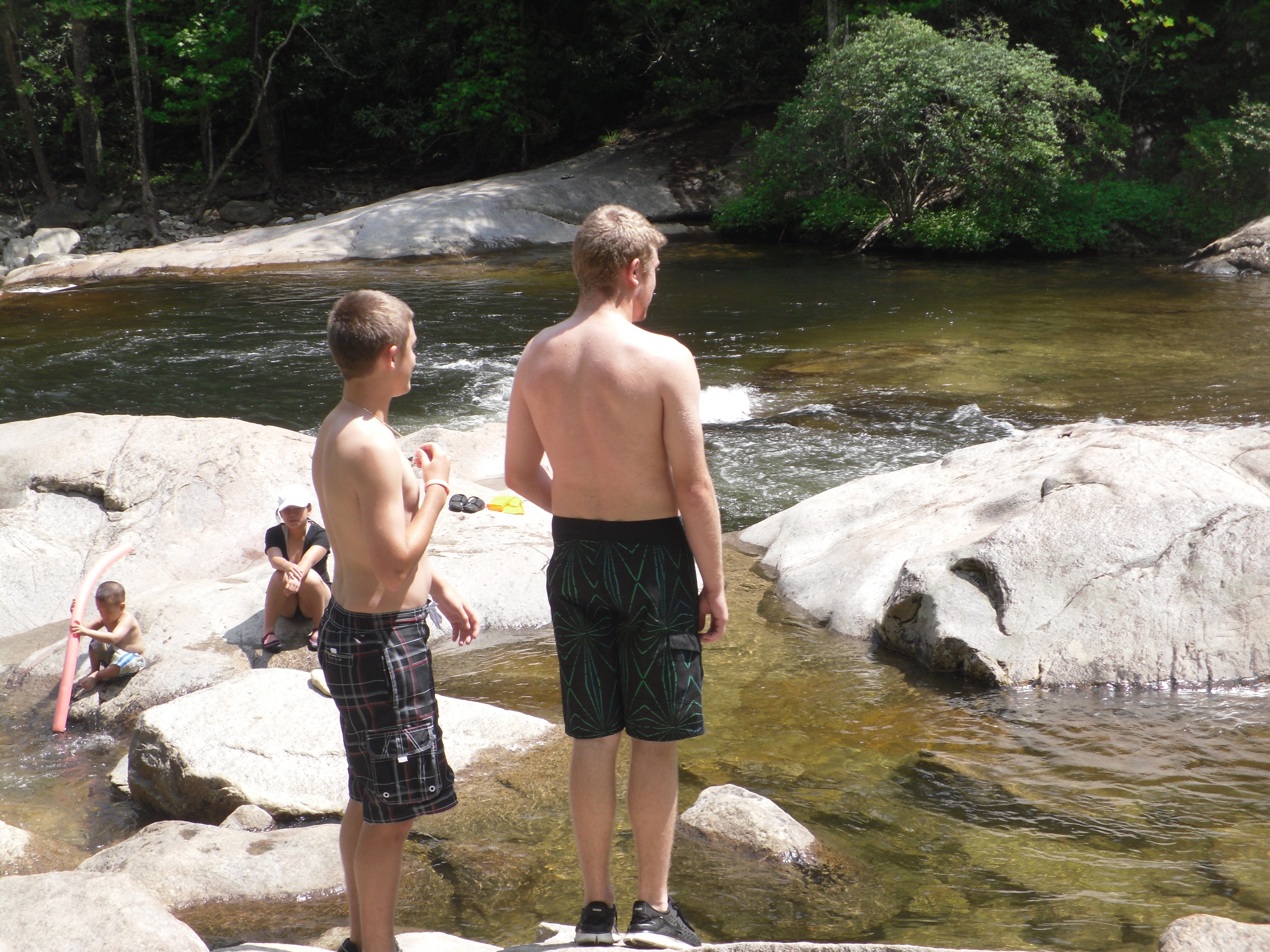
Jon and Trent view the river
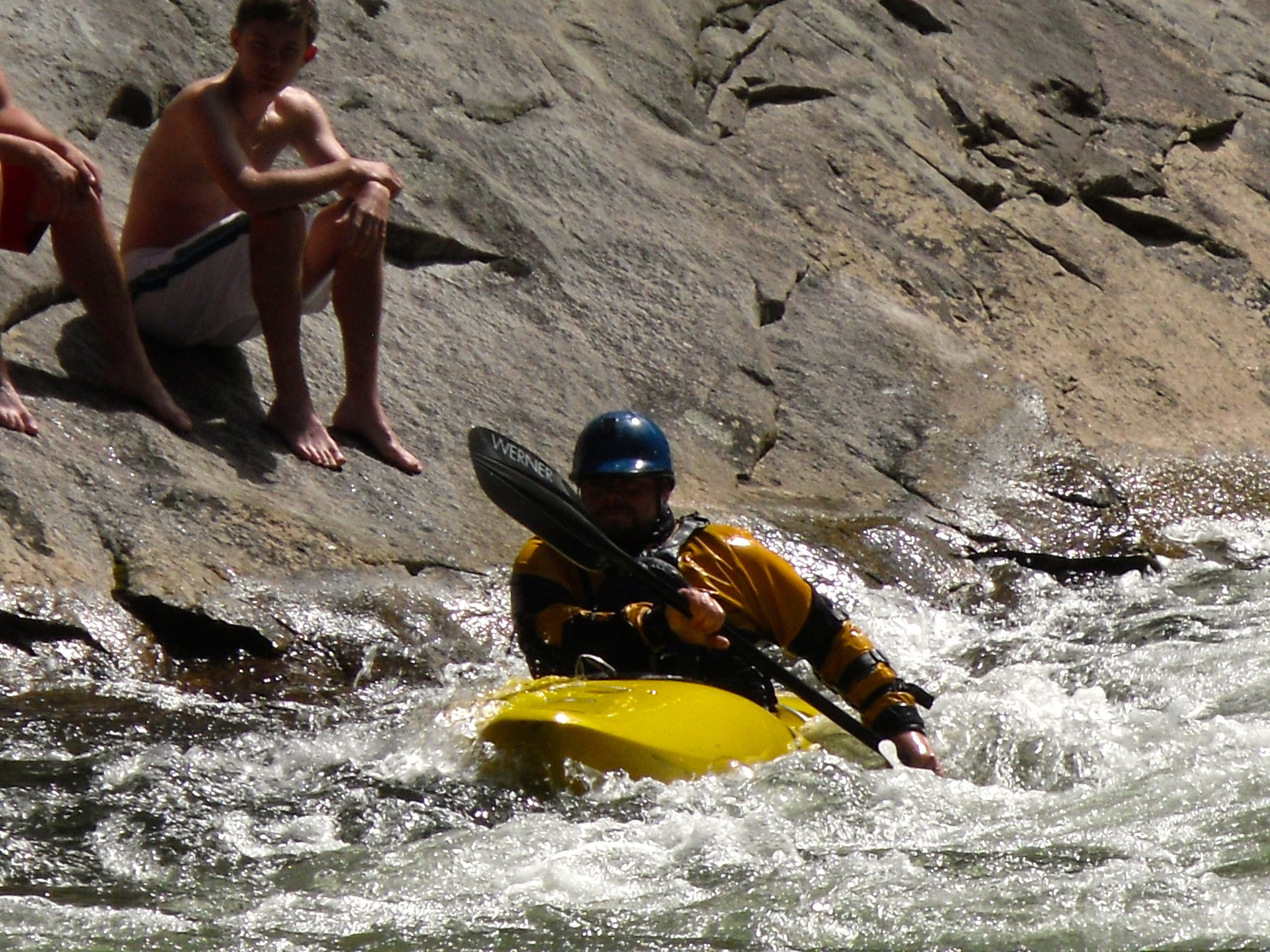
Close view of the kayaker

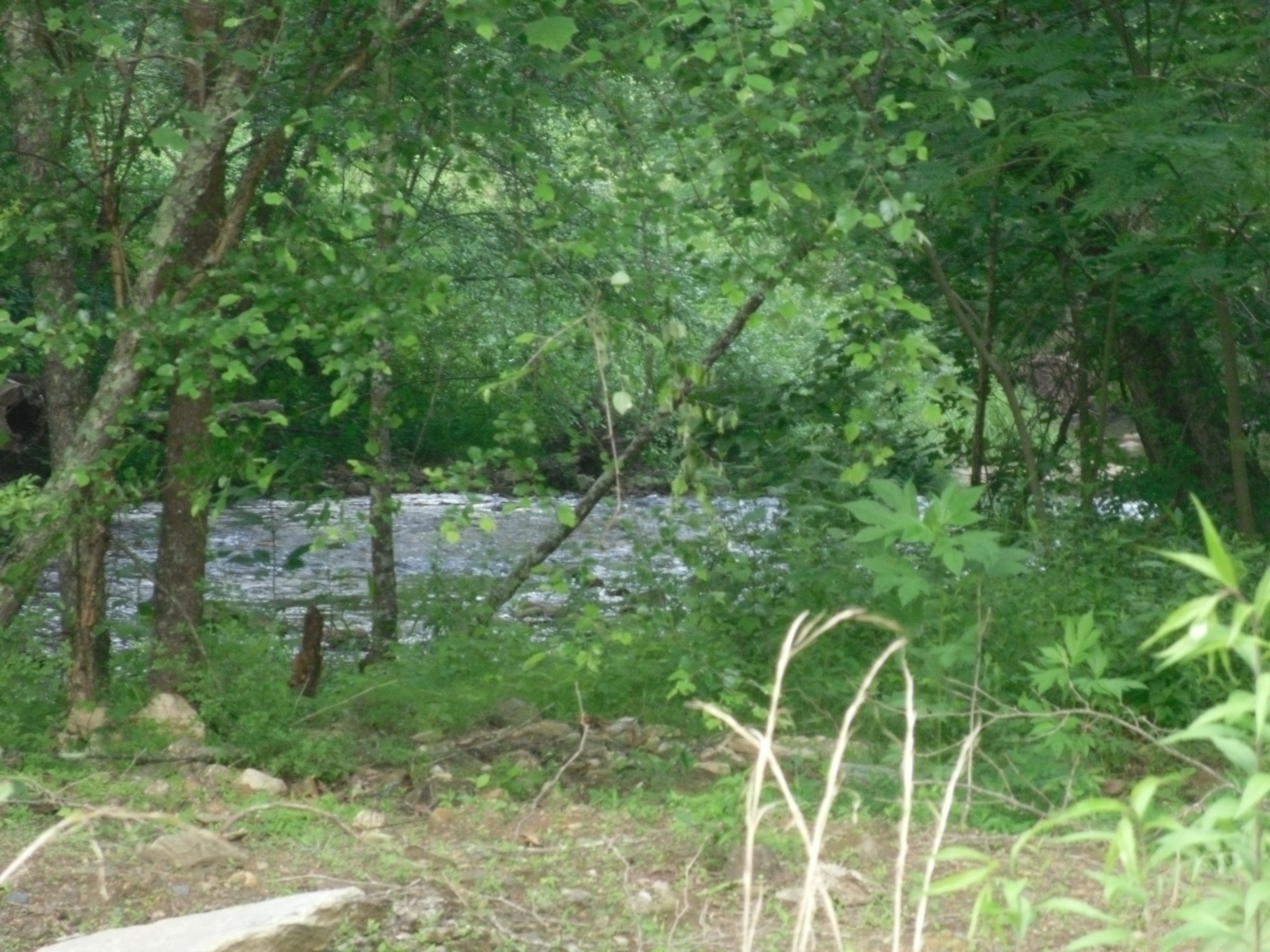
View up Wilson Creek
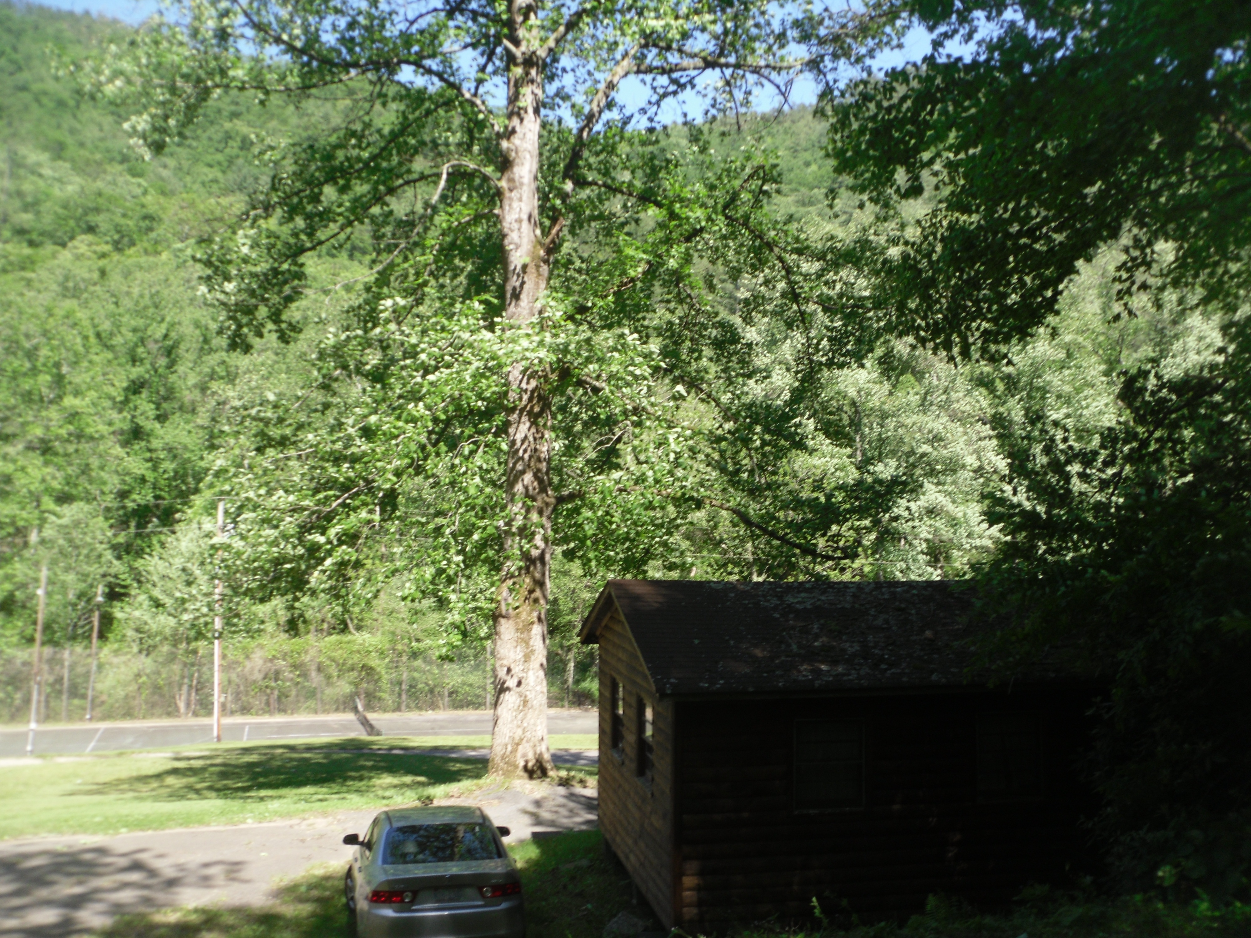
View up the hill
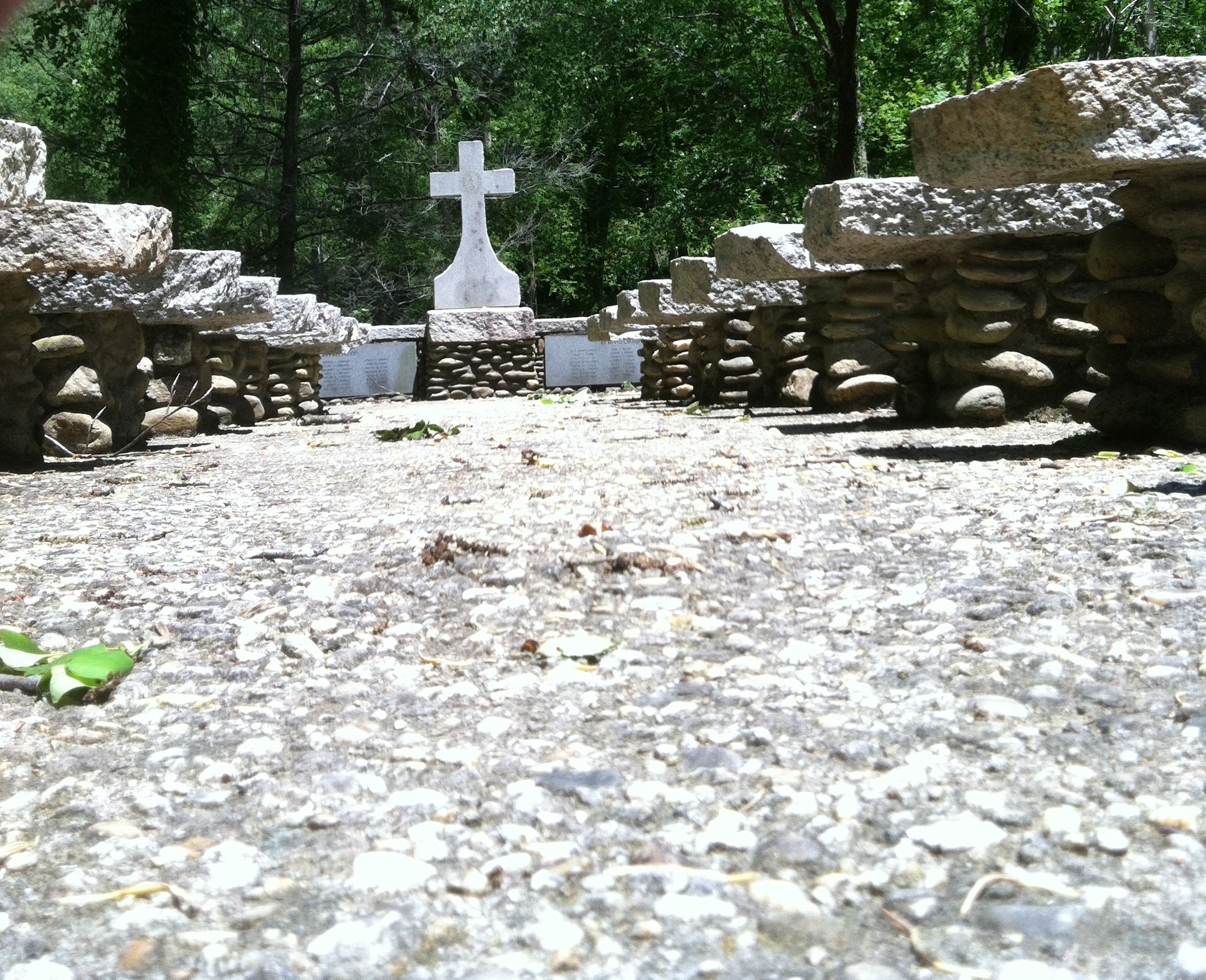
Aisle view of the cross
Bell view
Camp view from the river
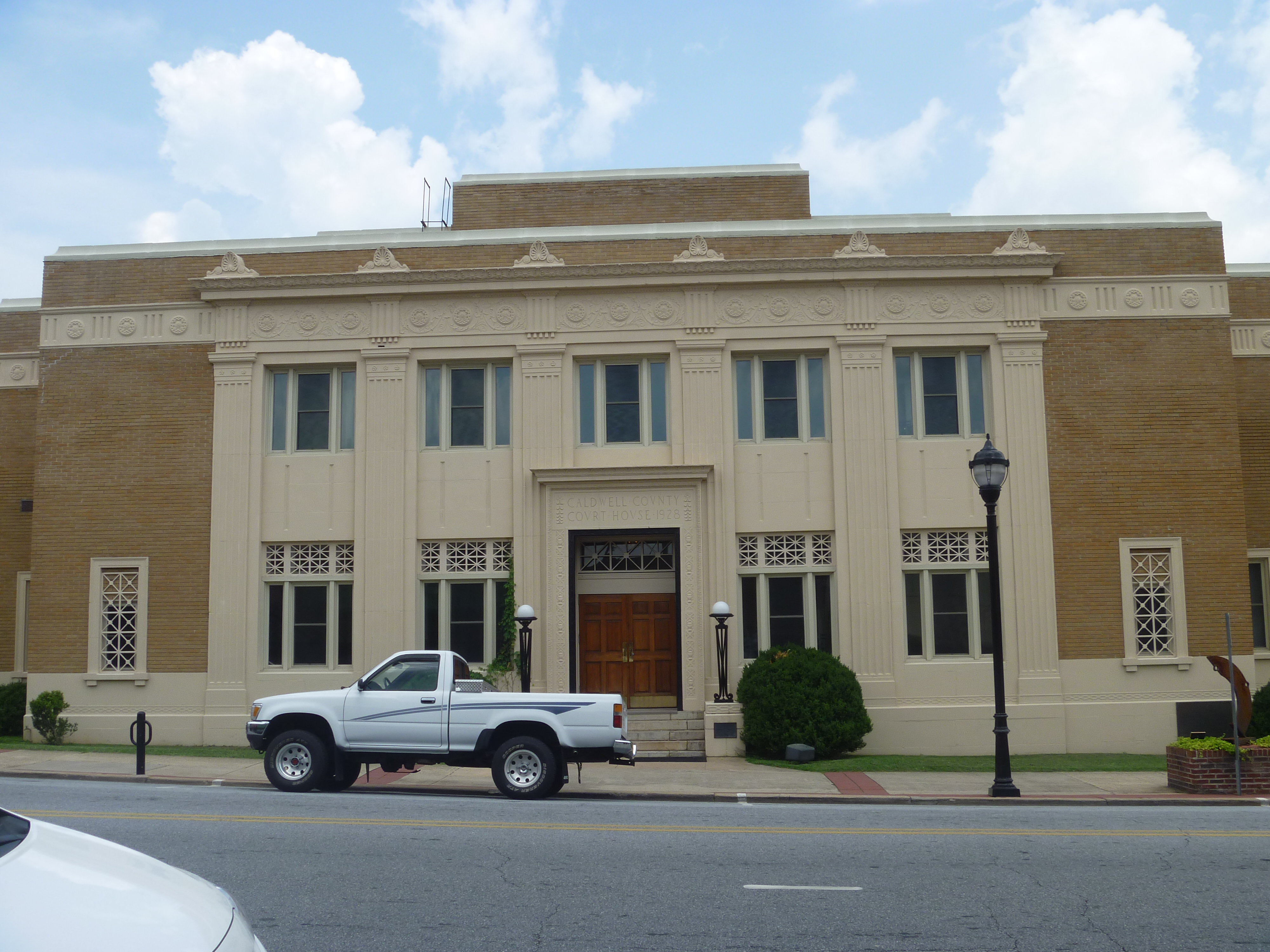
Front View, Caldwell County Courthouse
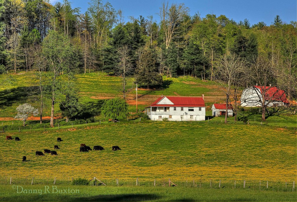
Irish Creek Farm 15/52
Irish Creek 273/365
Fully immersed in the #wilsoncreek wild & scenic river near Morganton, #northcarolina My favorite place to go #whitewaterkayaking #autumn #foliage #fall
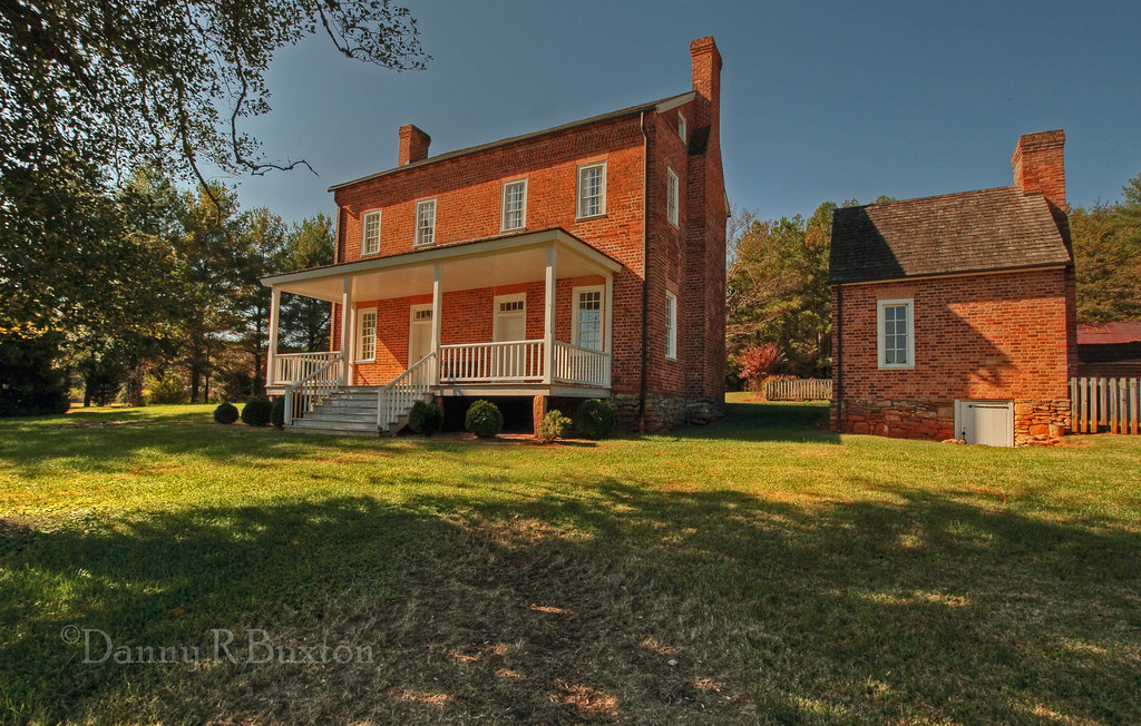
Quaker Meadows Plantation House (Explore 7/20/2012)

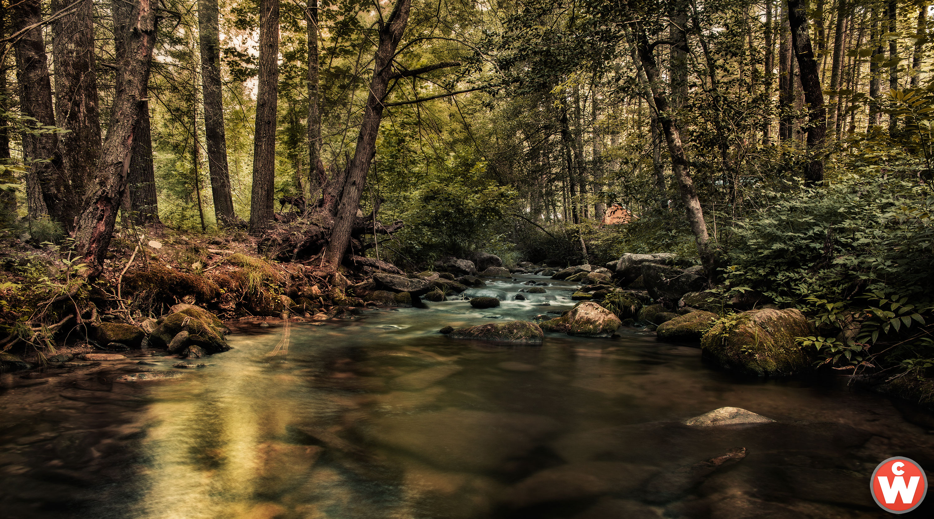
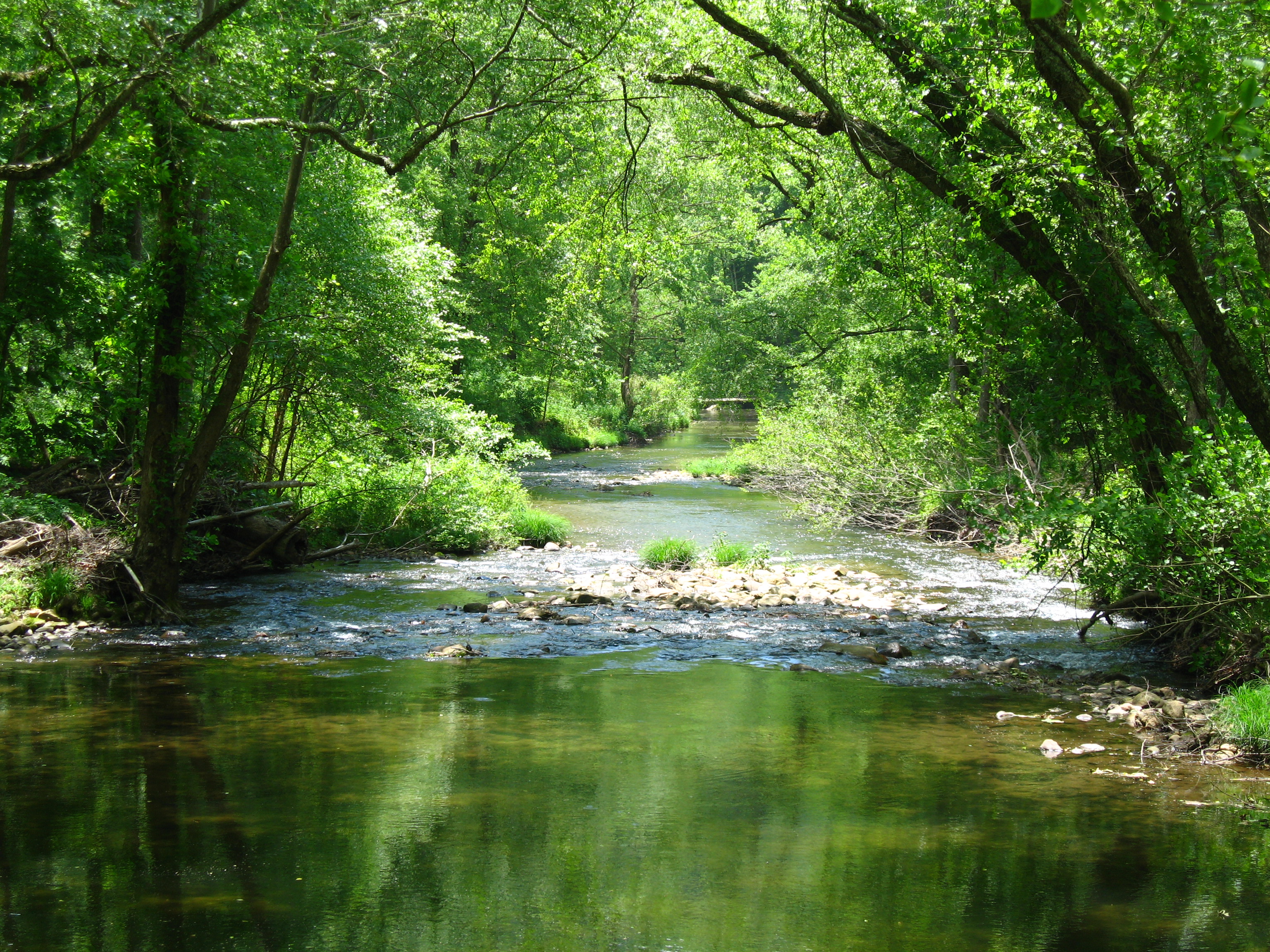
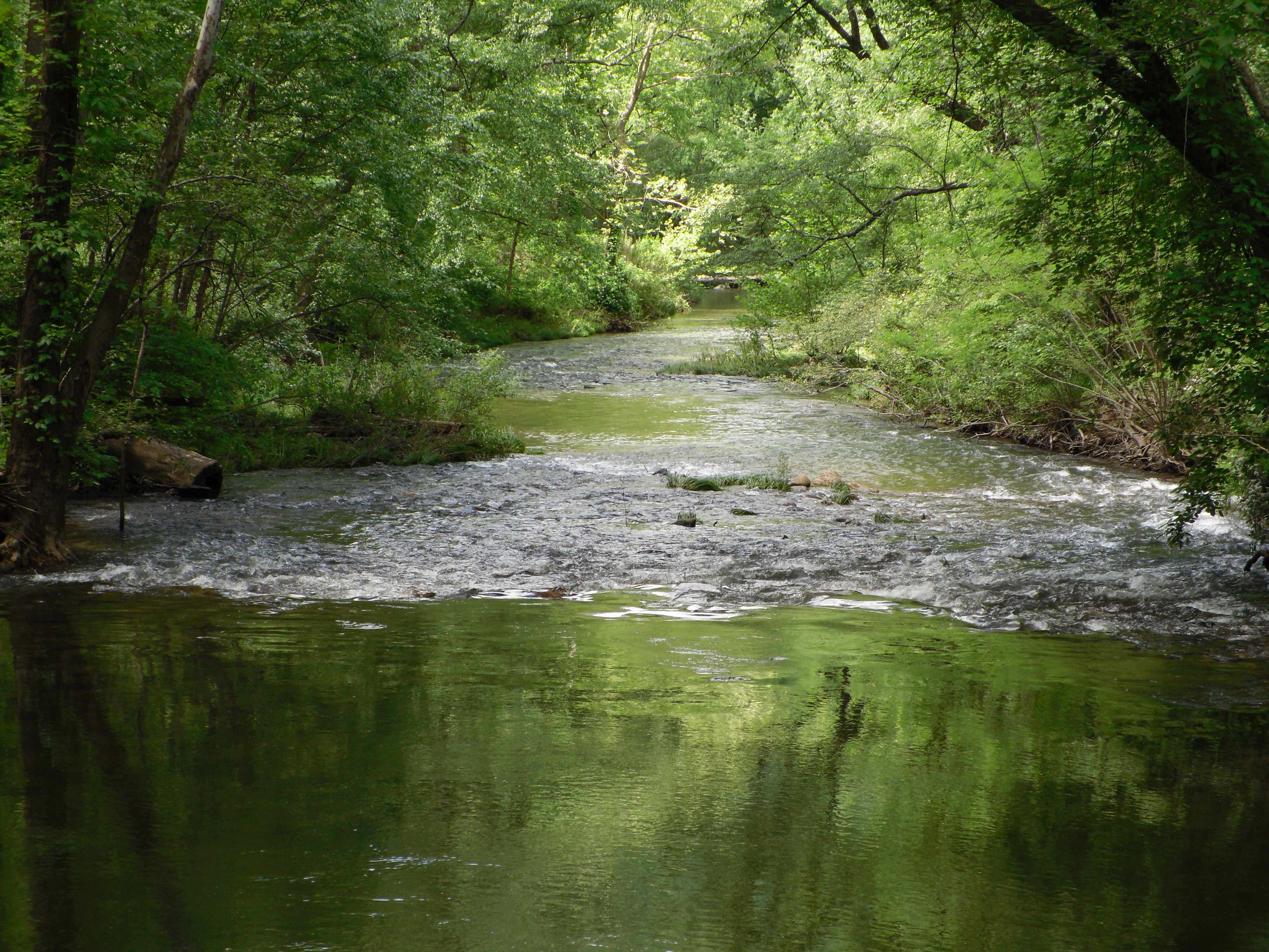
Wilson Creek
Steels Creek
#4theloveofshugar

Gentle Flows
Willie Fishing 1.JPG

Rainy Day Wilson Creek

Debris along the banks
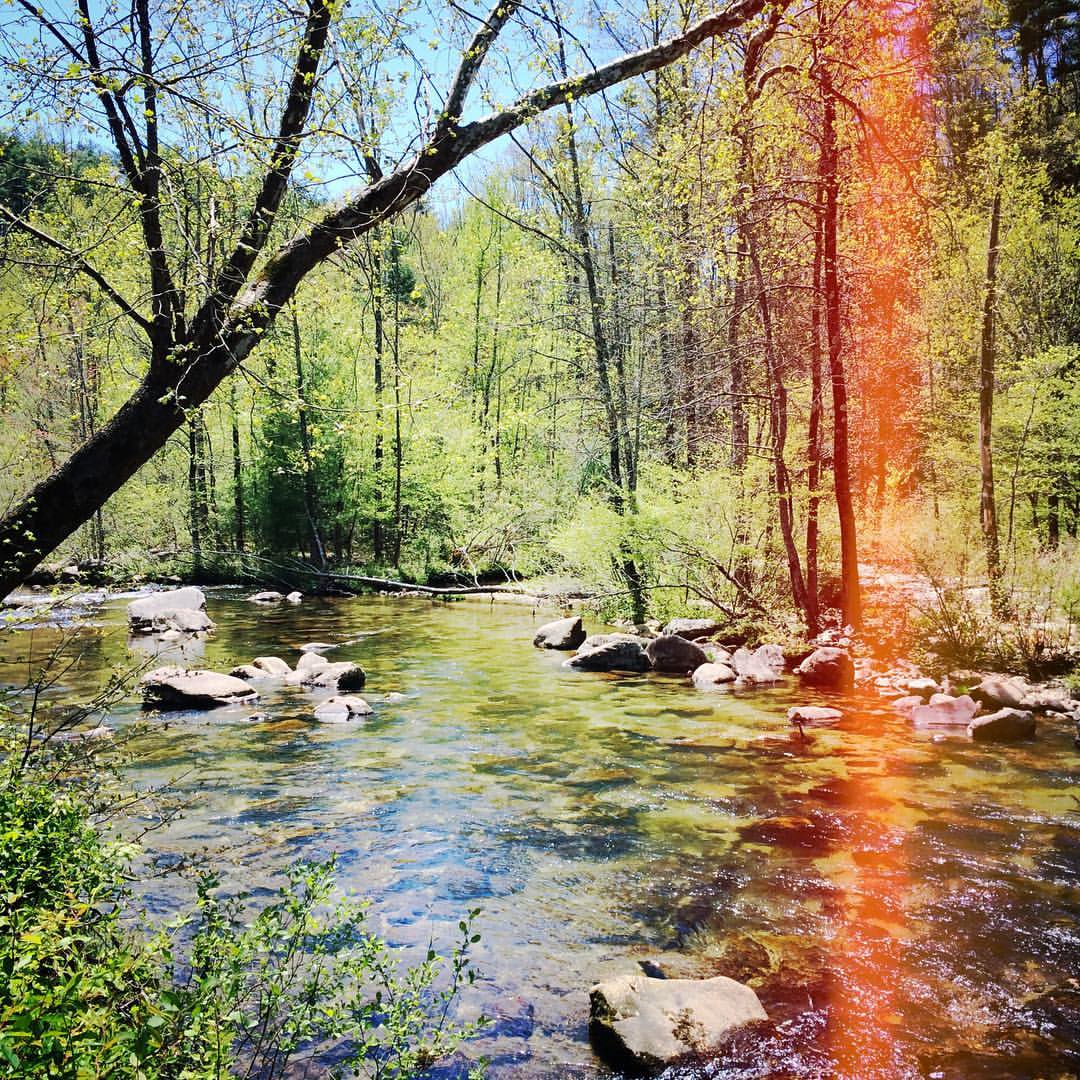
John's River 1.JPG
Flowers in the Field
Green valley
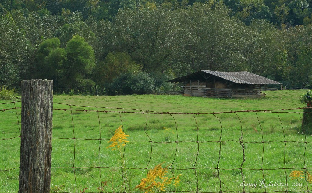
Steels Creek
John's River Down Stream

WC water.JPG
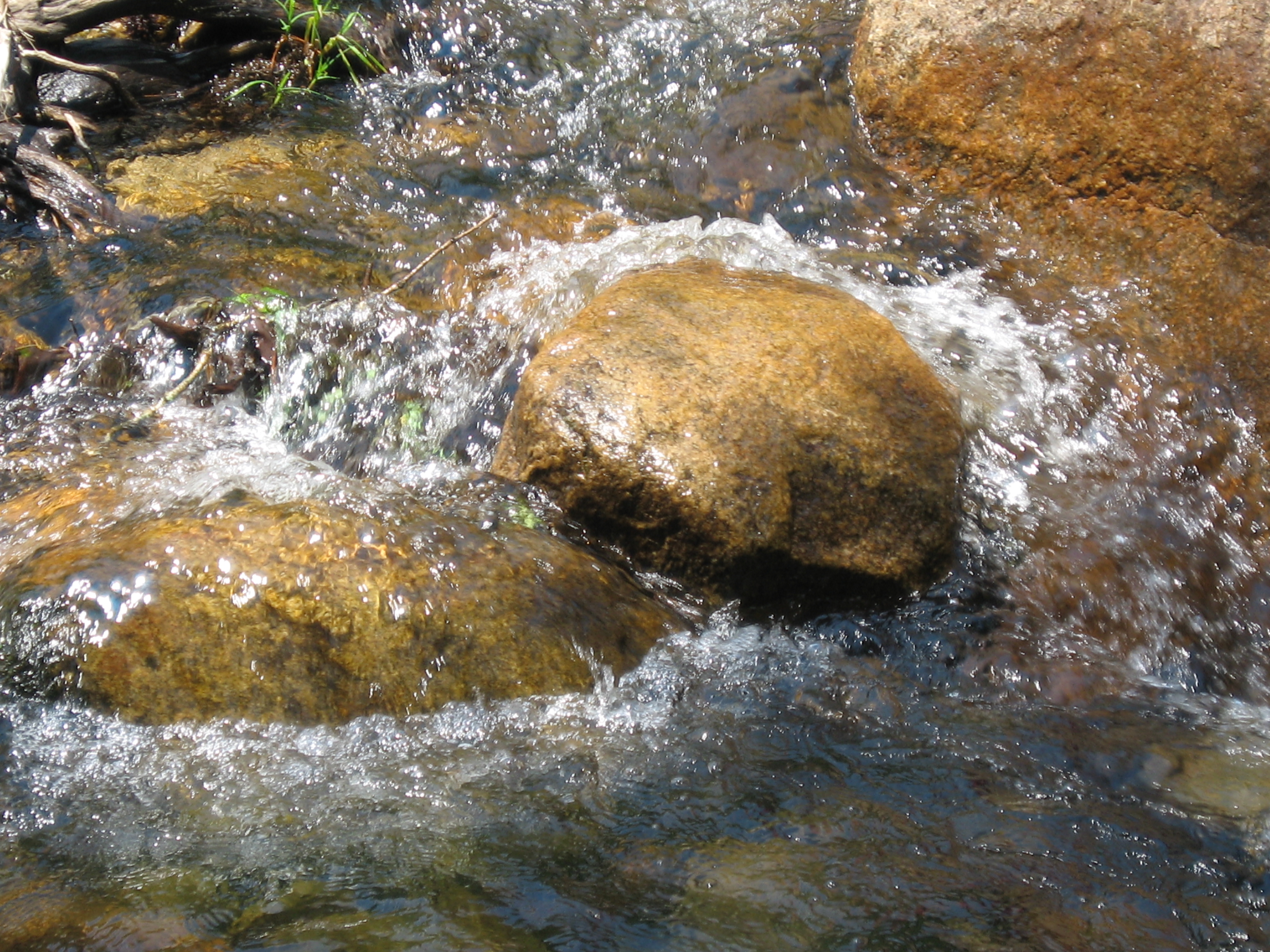
WC water over stones.JPG

John's River Down Stream
Topographic Map of High Country Rd, Lenoir, NC, USA
Find elevation by address:

Places near High Country Rd, Lenoir, NC, USA:
Low Country Road
Equestrian Drive
1397 Johns Ridge Pkwy
Highland River Road
1292 Whispering Pines Ct
5499 Cedar Cove Way
5499 Cedar Cove Way
5499 Cedar Cove Way
5499 Cedar Cove Way
5499 Cedar Cove Way
5499 Cedar Cove Way
5499 Cedar Cove Way
Starview Ridge
Starview Ridge
Red Cedar Way
1500 Red Cedar Way
5229 Sunset Creek Ln
Walnut Ridge Drive
Walnut Ridge Drive
1314 Round Mountain Pkwy
Recent Searches:
- Elevation map of Nagano Prefecture, Japan
- Elevation of 587, Bascule Drive, Oakdale, Stanislaus County, California, 95361, USA
- Elevation of Stadion Wankdorf, Sempachstrasse, Breitfeld, Bern, Bern-Mittelland administrative district, Bern, 3014, Switzerland
- Elevation of Z024, 76, Emil-von-Behring-Straße, Marbach, Marburg, Landkreis Marburg-Biedenkopf, Hesse, 35041, Germany
- Elevation of Gaskill Road, Hunts Cross, Liverpool, England, L24 9PH, United Kingdom
- Elevation of Speke, Liverpool, England, L24 9HD, United Kingdom
- Elevation of Seqirus, 475, Green Oaks Parkway, Holly Springs, Wake County, North Carolina, 27540, USA
- Elevation of Pasing, Munich, Bavaria, 81241, Germany
- Elevation of 24, Auburn Bay Crescent SE, Auburn Bay, Calgary, Alberta, T3M 0A6, Canada
- Elevation of Denver, 2314, Arapahoe Street, Five Points, Denver, Colorado, 80205, USA
- Elevation of Community of the Beatitudes, 2924, West 43rd Avenue, Sunnyside, Denver, Colorado, 80211, USA
- Elevation map of Litang County, Sichuan, China
- Elevation map of Madoi County, Qinghai, China
- Elevation of 3314, Ohio State Route 114, Payne, Paulding County, Ohio, 45880, USA
- Elevation of Sarahills Drive, Saratoga, Santa Clara County, California, 95070, USA
- Elevation of Town of Bombay, Franklin County, New York, USA
- Elevation of 9, Convent Lane, Center Moriches, Suffolk County, New York, 11934, USA
- Elevation of Saint Angelas Convent, 9, Convent Lane, Center Moriches, Suffolk County, New York, 11934, USA
- Elevation of 131st Street Southwest, Mukilteo, Snohomish County, Washington, 98275, USA
- Elevation of 304, Harrison Road, Naples, Cumberland County, Maine, 04055, USA