Elevation of Summit Township, AR, USA
Location: United States > Arkansas > Boone County >
Longitude: -93.278482
Latitude: 36.1532605
Elevation: 676m / 2218feet
Barometric Pressure: 93KPa
Elevation Map:
Satellite Map:
Related Photos:

Golden Meadow
The Buffalo
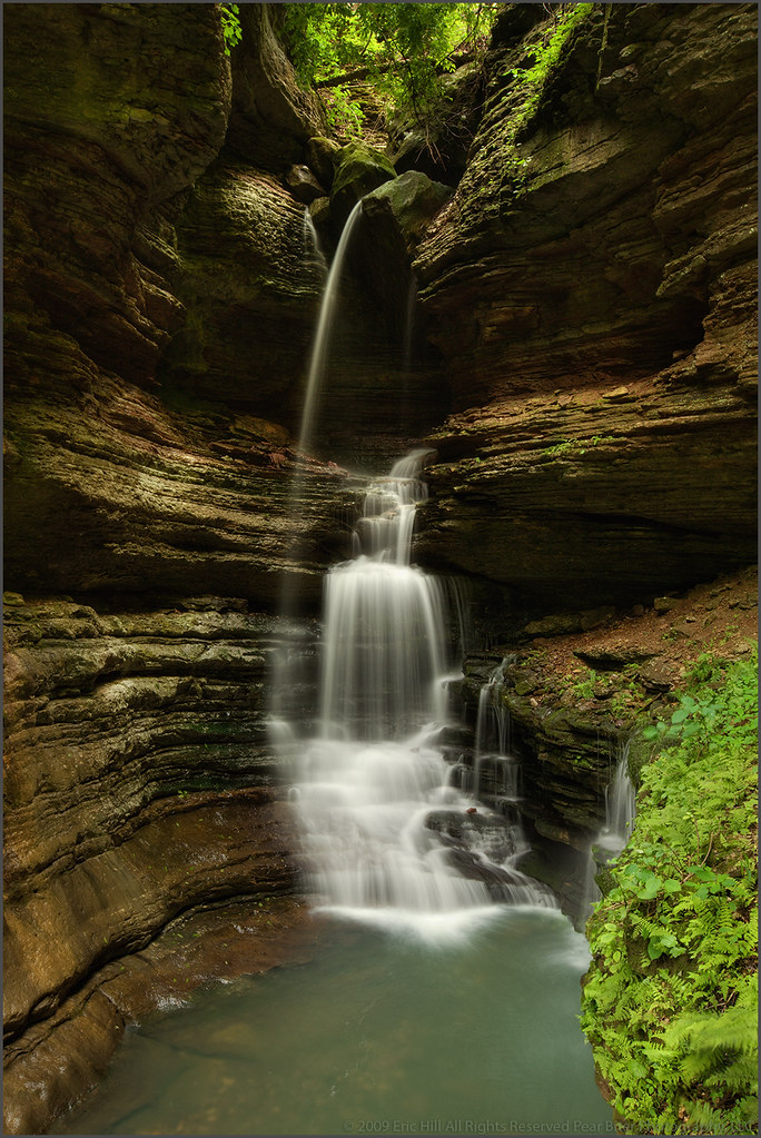
Triple Falls Perspective (Explored #474, 10/30/09)
Proposal Falls
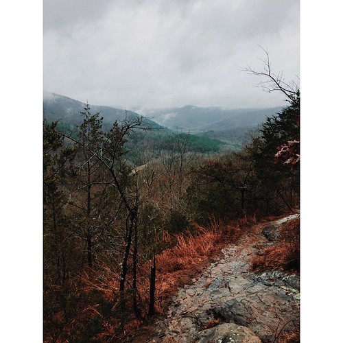
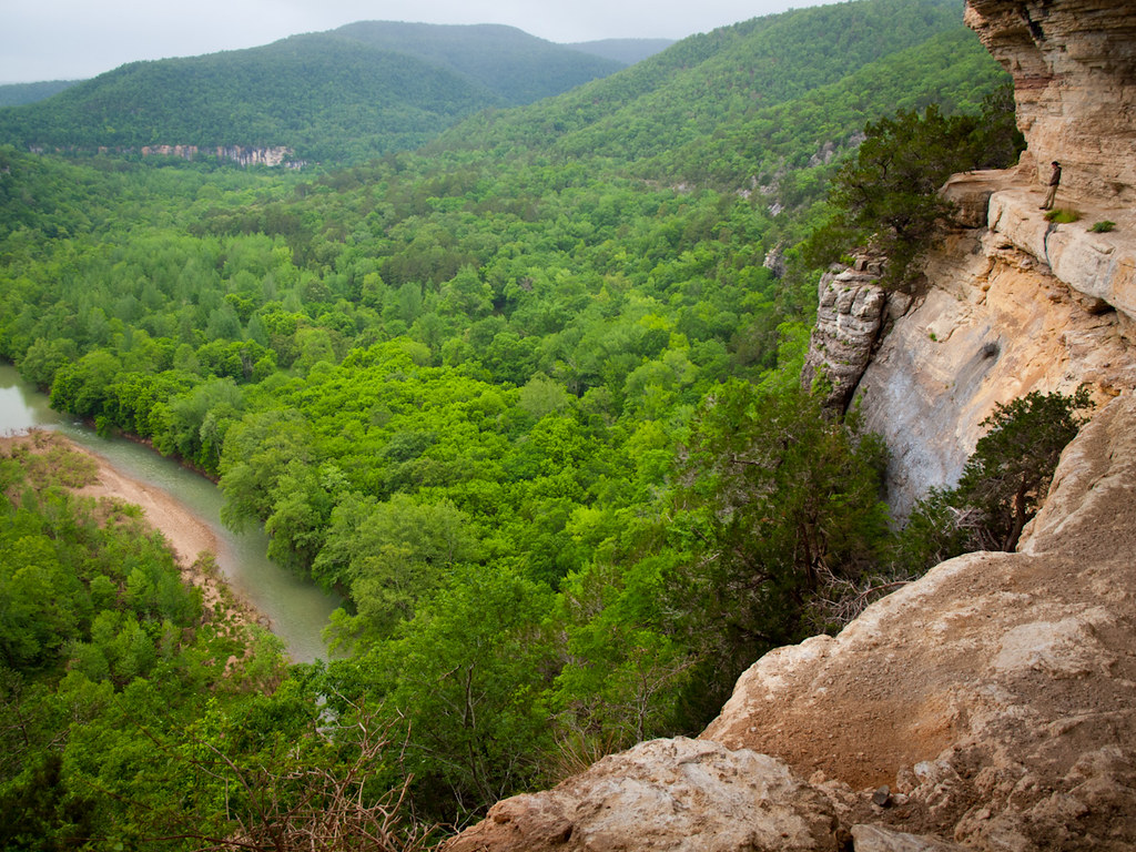
My view from the tallest bluff between the Appalachians and Rockies #vscocam
Upper Indian Creek Canyon Falls
Tunnel Cave Falls
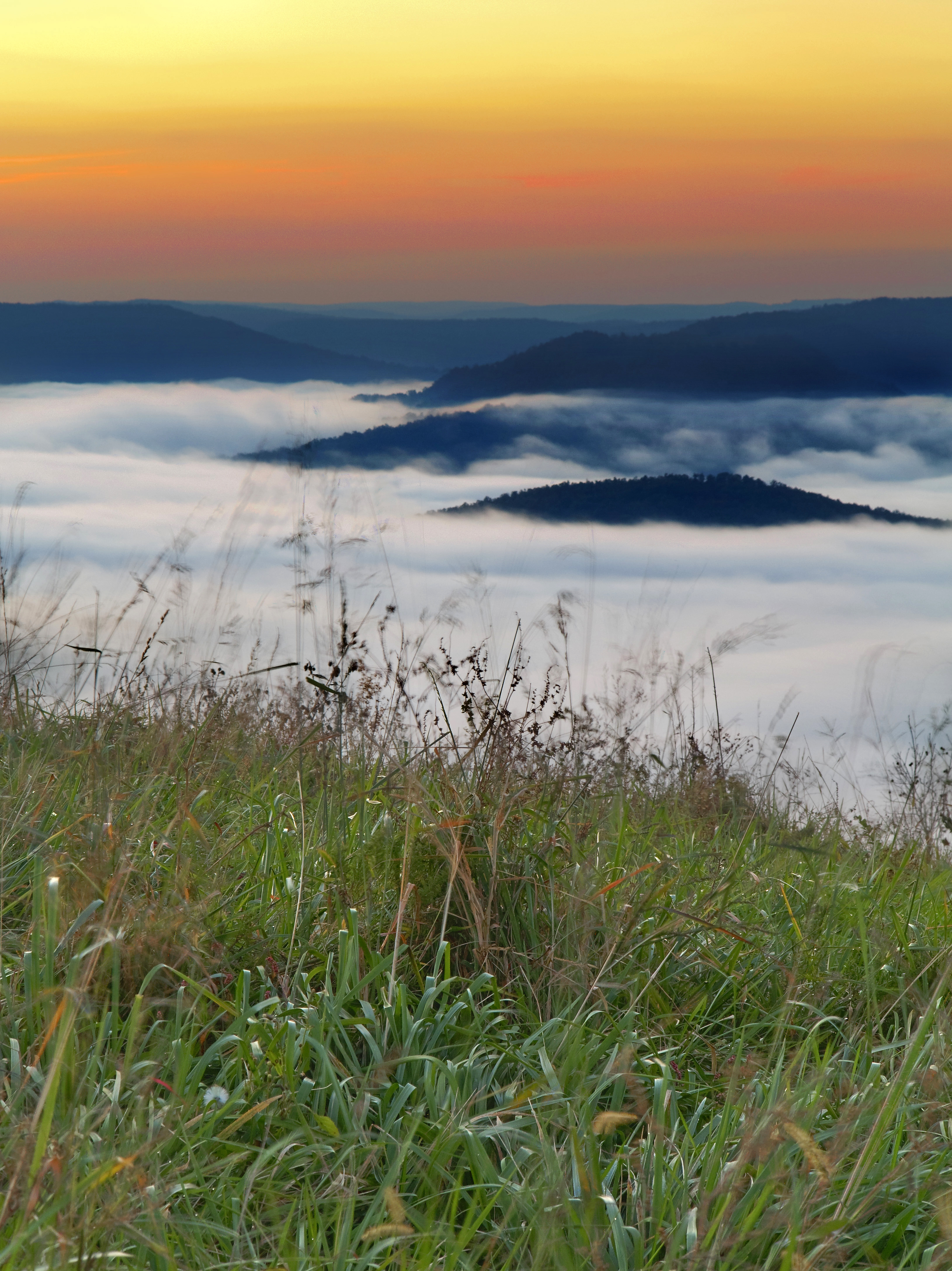
Morning views
Inconceivable beauty
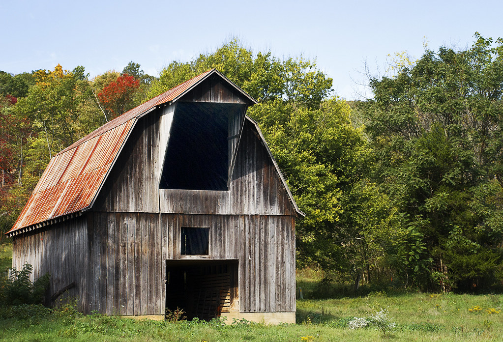
Country View

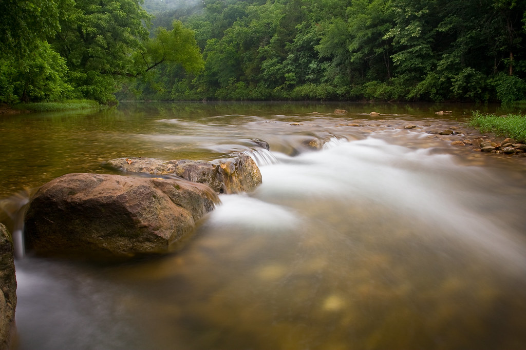
Indian Creek Canyon Falls
Copperhead Falls

Smiling Dragonfly
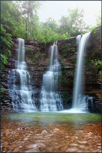
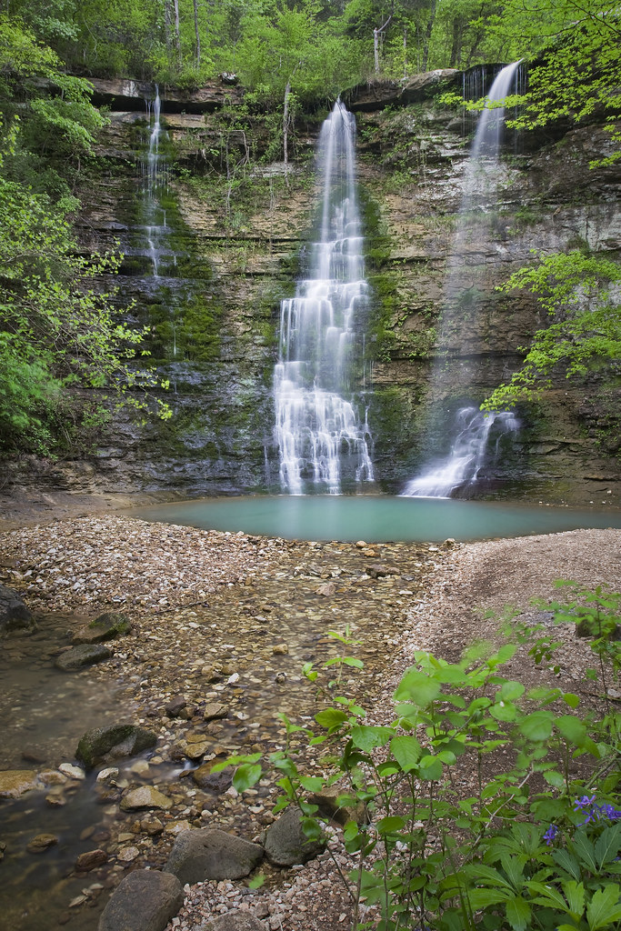
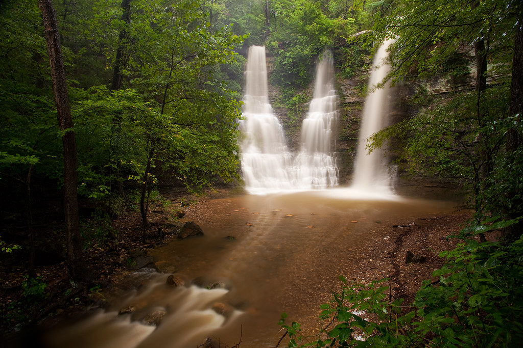
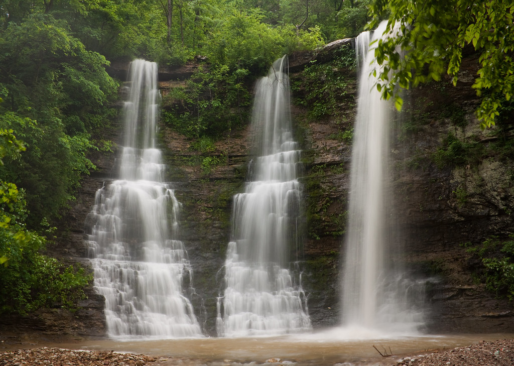
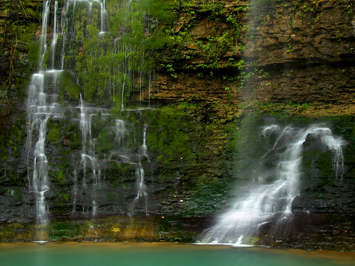
Twin Falls turned Triple
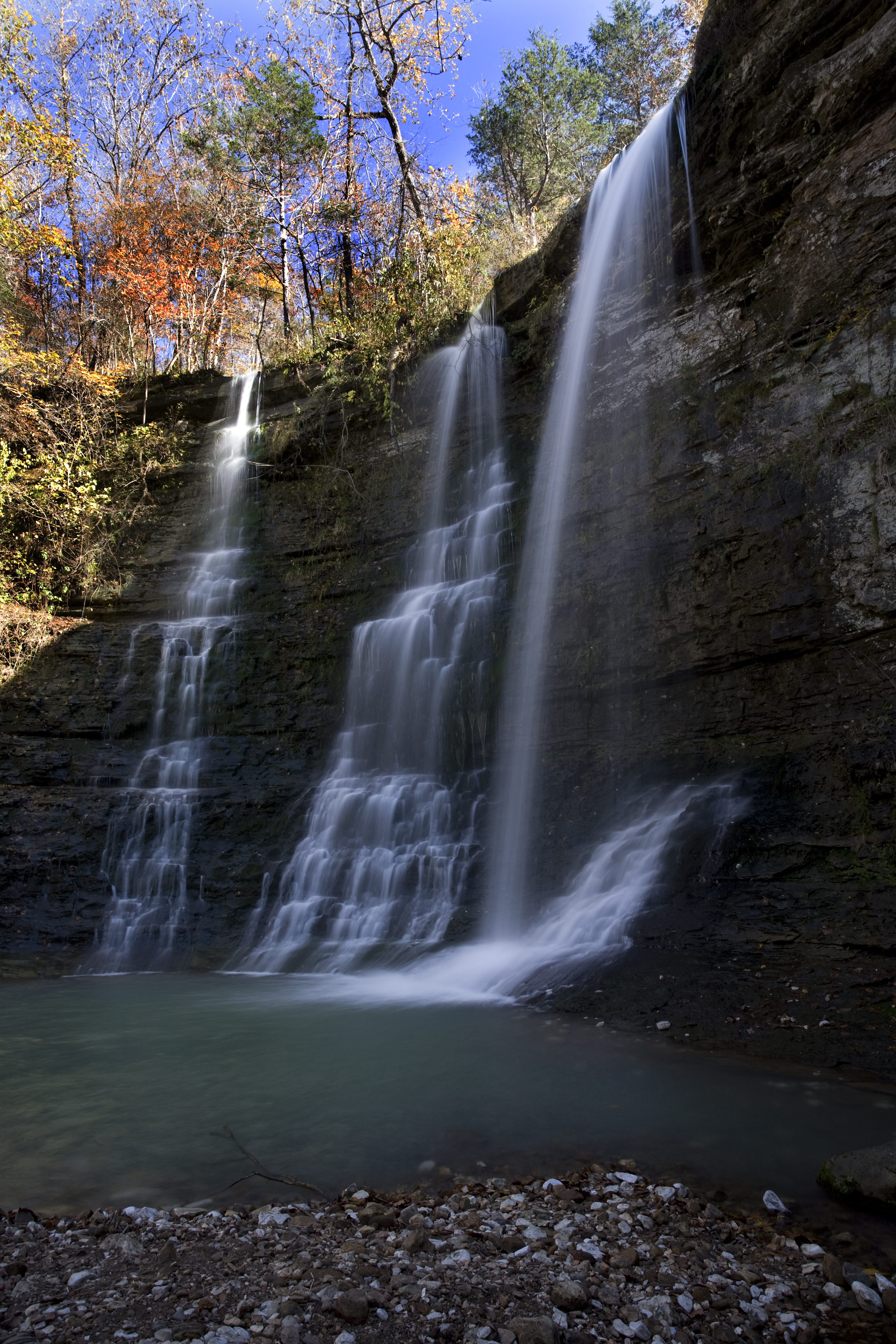
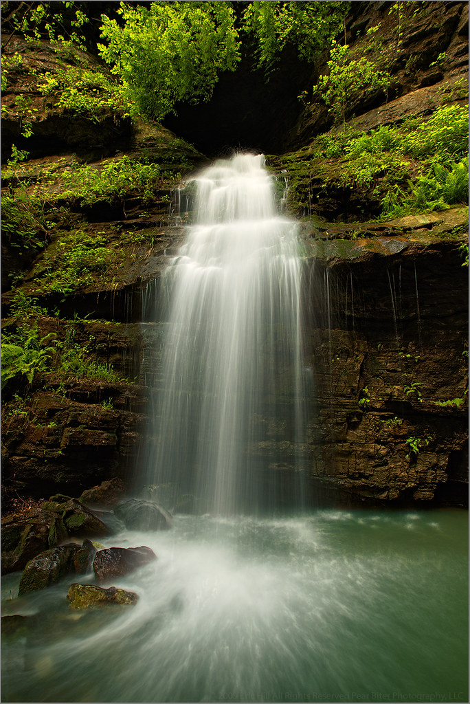
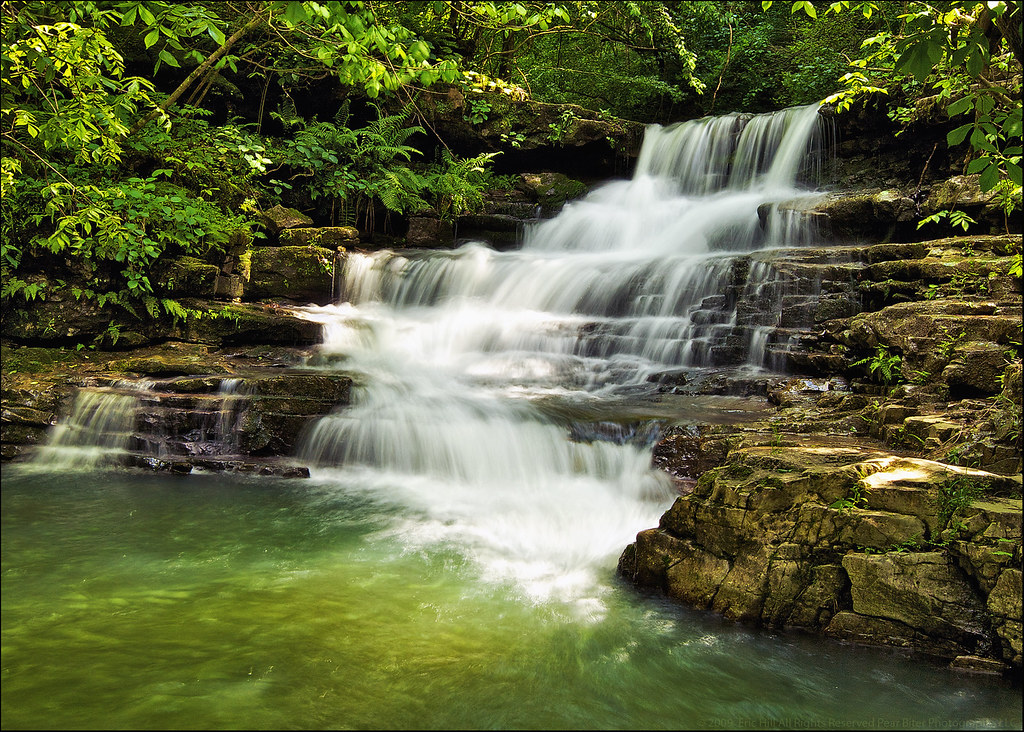
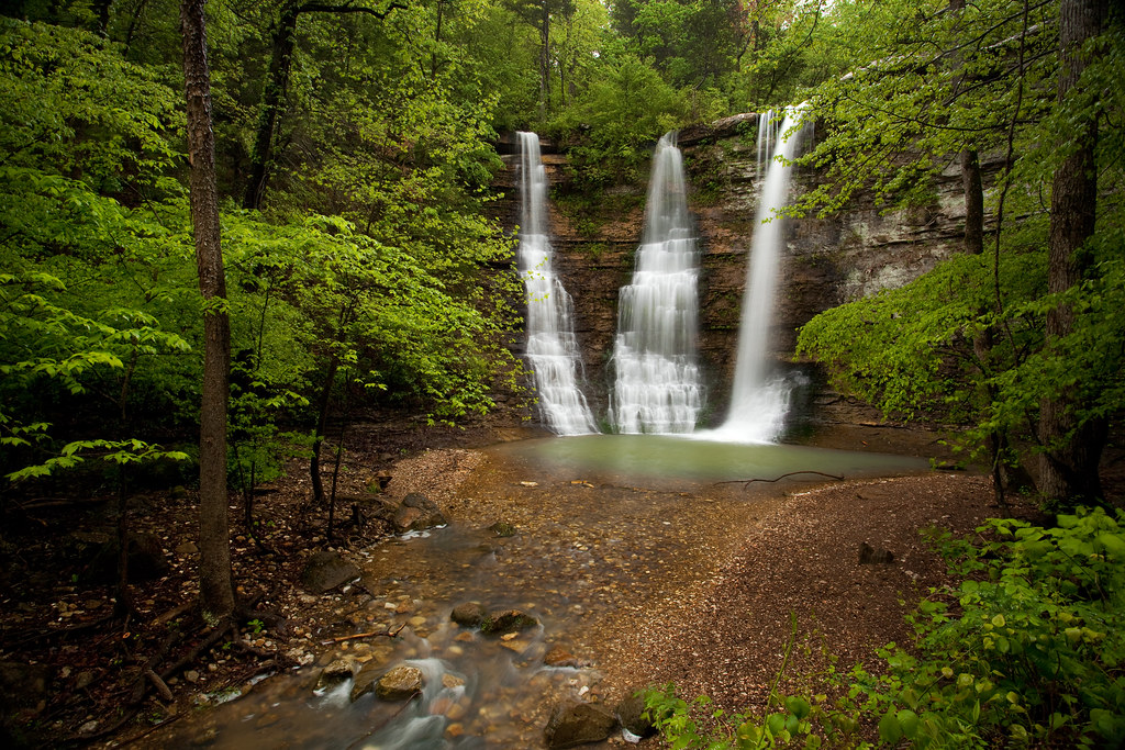
Triple Falls
Goat Trail
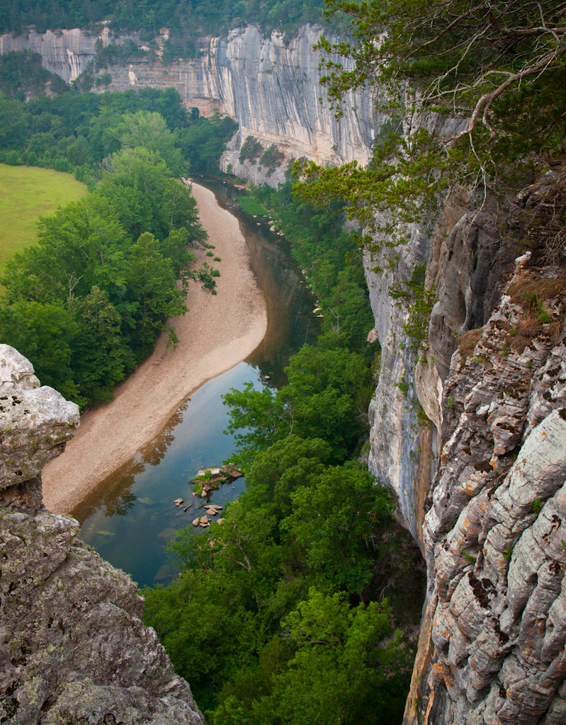
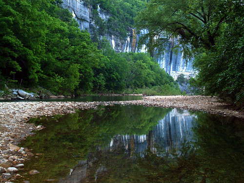
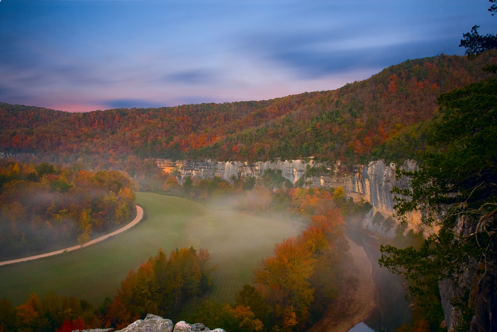
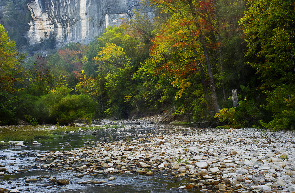
Roark Bluff
Rolling Fall Meadow
Re-visiting Triple Falls

Tripletwinproposal Falls
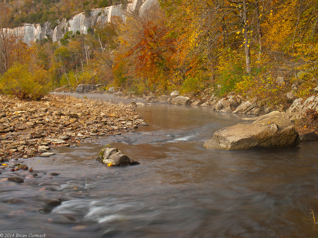
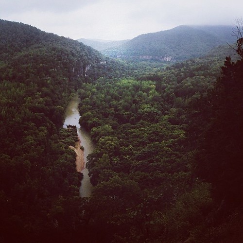
Buffalo River

And it's one more day up in the Cañon.
Triple Falls
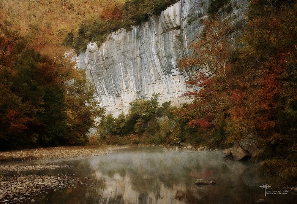
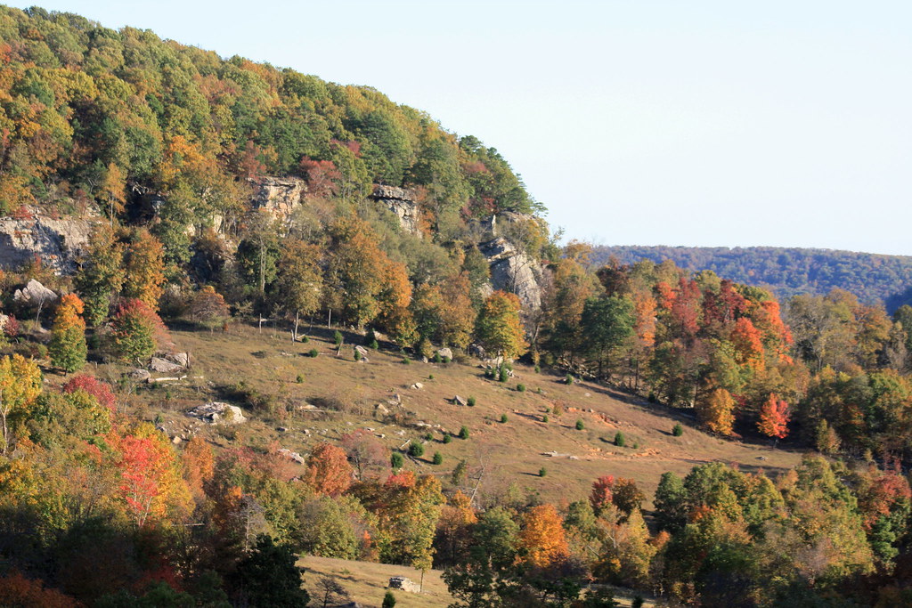
Buffalo River National Park in Fall Colors
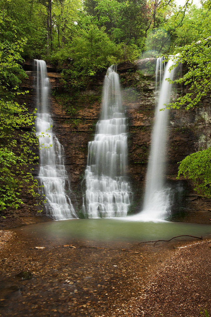
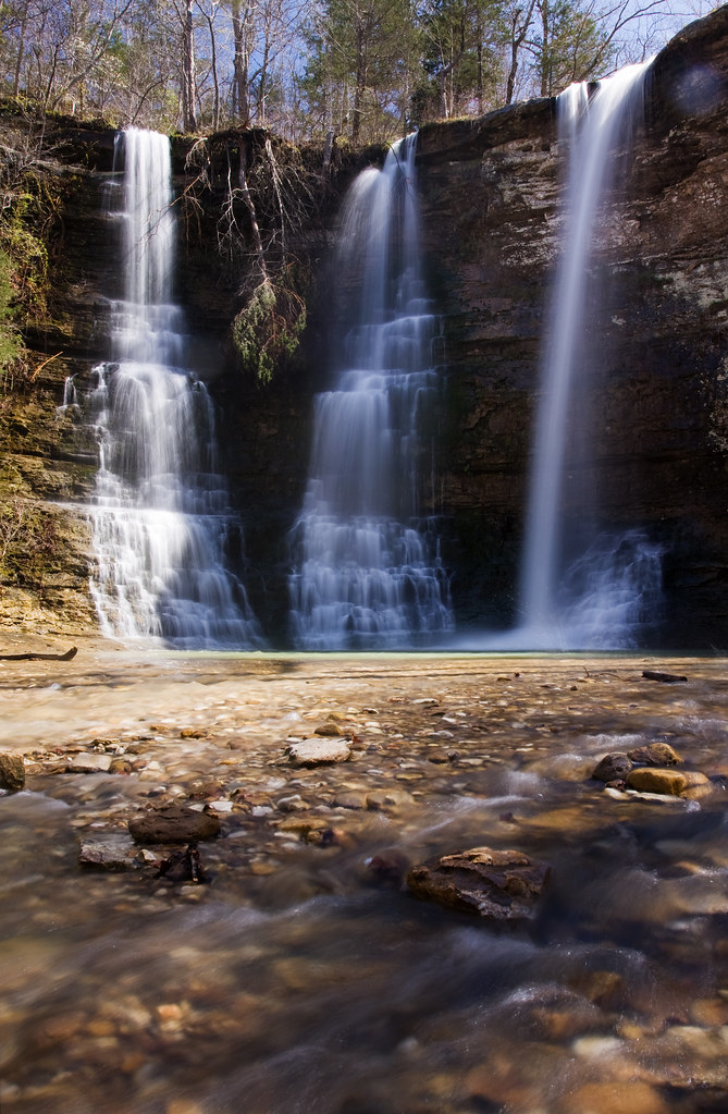
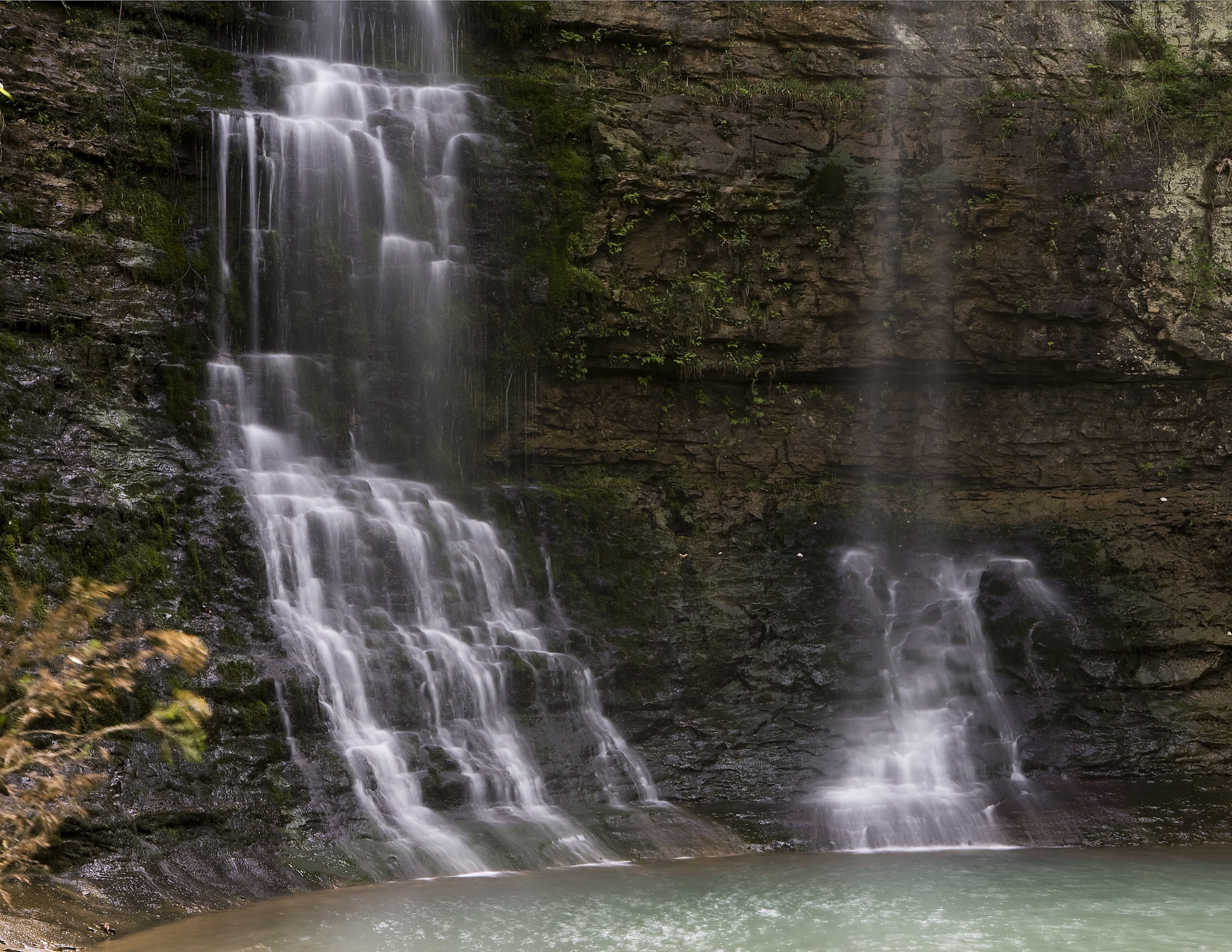
Triple Falls II
An August rarity
I'm glad this was never turned into a lake.
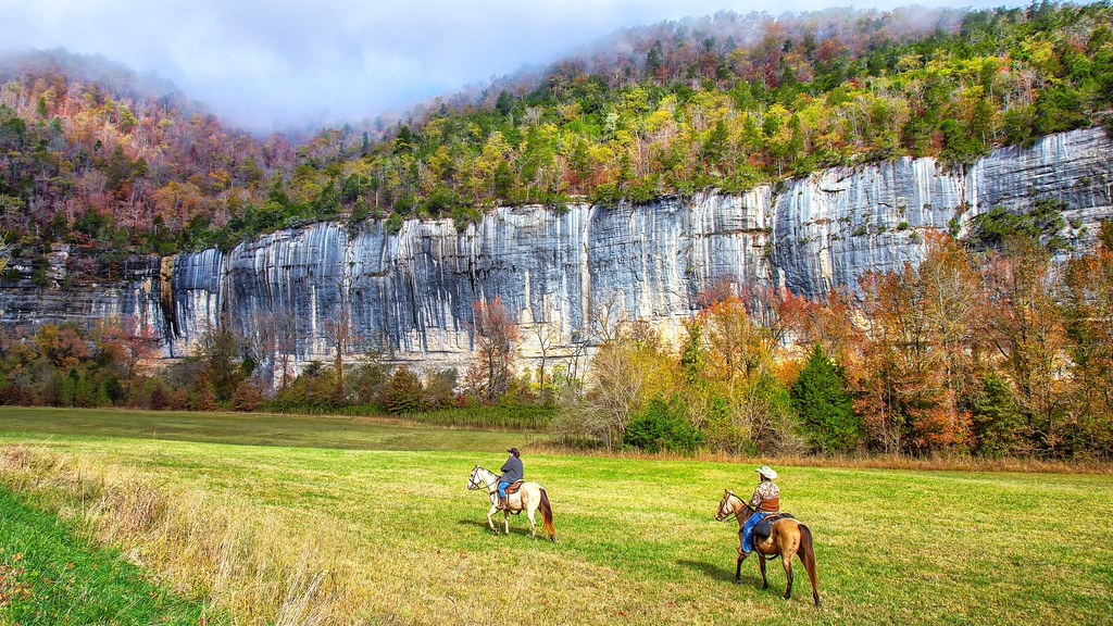
Home on the Range
The Buffalo River
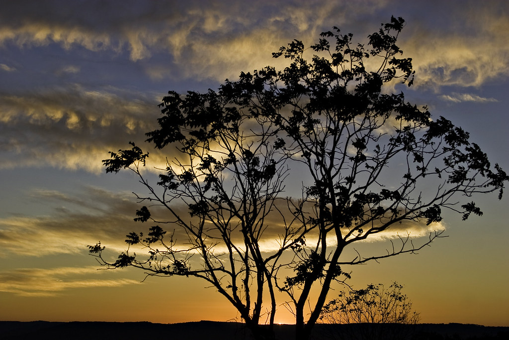
Morning Color
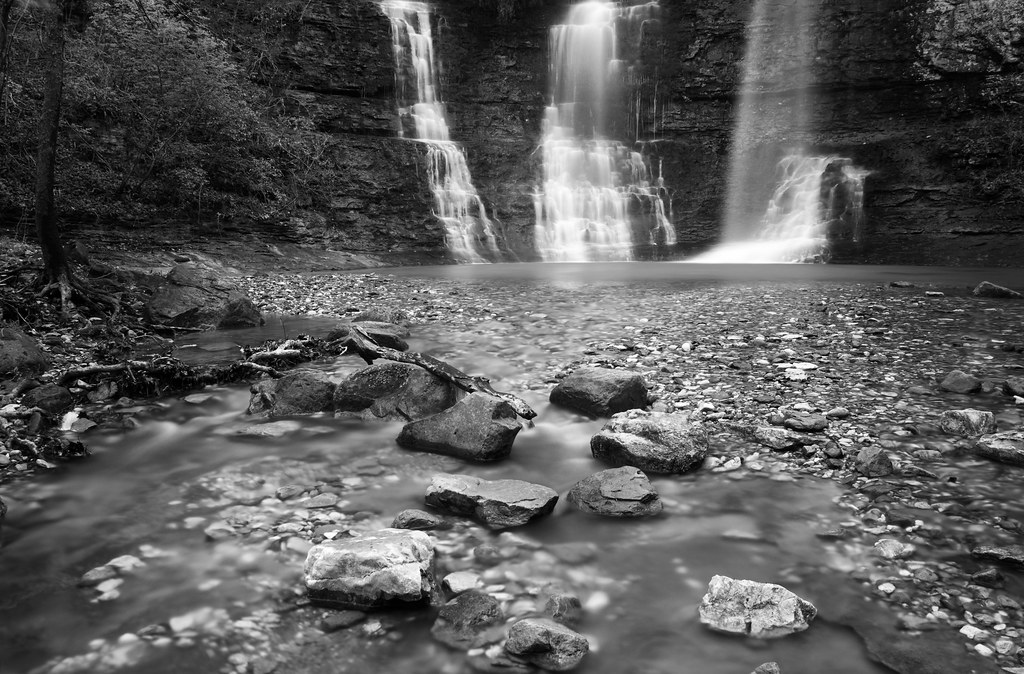
my falls runneth over

Buffalo River Skies
Islands of Stone
Sunrise on Fire Tower Road (Lost Valley)
Two of the Triple Falls
Topographic Map of Summit Township, AR, USA
Find elevation by address:

Places in Summit Township, AR, USA:
Places near Summit Township, AR, USA:
11802 Deer Rd
Summit Rd S, Harrison, AR, USA
Compton
AR-43, Compton, AR, USA
County Road 933
Osage Township
Plumlee Township
7256 Orchard Point Rd
Bryan Township
County Road 959
County Road 107
AR-, Alpena, AR, USA
Steel Creek Campground
Osage
County Road 935
US-, Berryville, AR, USA
Dry Fork Township
US-, Huntsville, AR, USA
3898 Madison 2360
County Road 21
Recent Searches:
- Elevation of Corso Fratelli Cairoli, 35, Macerata MC, Italy
- Elevation of Tallevast Rd, Sarasota, FL, USA
- Elevation of 4th St E, Sonoma, CA, USA
- Elevation of Black Hollow Rd, Pennsdale, PA, USA
- Elevation of Oakland Ave, Williamsport, PA, USA
- Elevation of Pedrógão Grande, Portugal
- Elevation of Klee Dr, Martinsburg, WV, USA
- Elevation of Via Roma, Pieranica CR, Italy
- Elevation of Tavkvetili Mountain, Georgia
- Elevation of Hartfords Bluff Cir, Mt Pleasant, SC, USA