Elevation of Dry Fork Township, AR, USA
Location: United States > Arkansas > Carroll County >
Longitude: -93.480134
Latitude: 36.1475886
Elevation: 452m / 1483feet
Barometric Pressure: 96KPa
Elevation Map:
Satellite Map:
Related Photos:
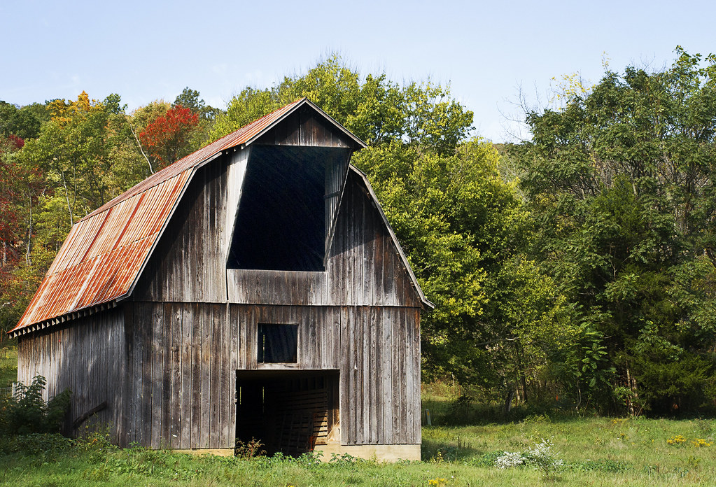
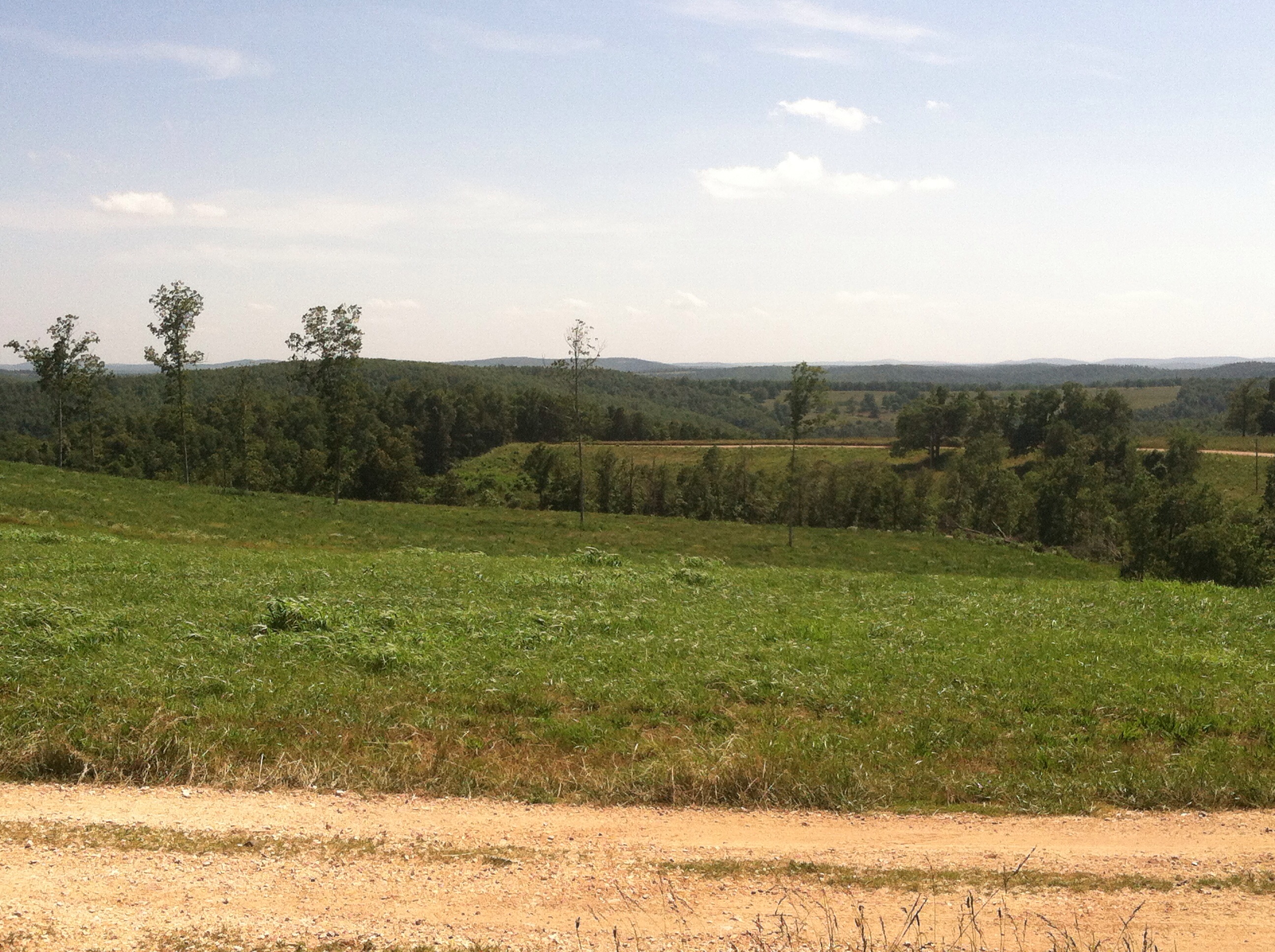
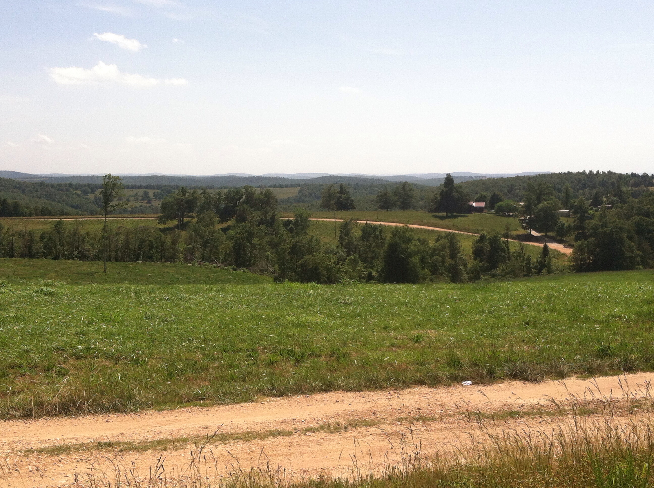
Country View

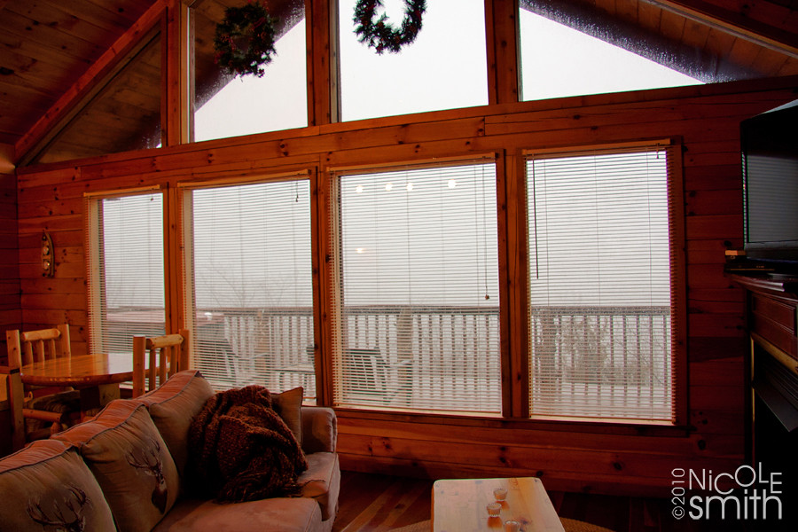
the view
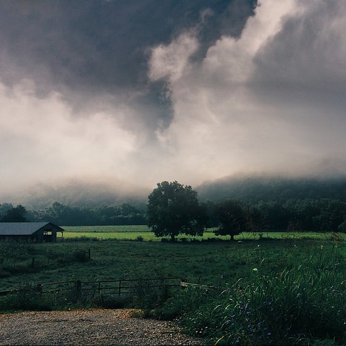
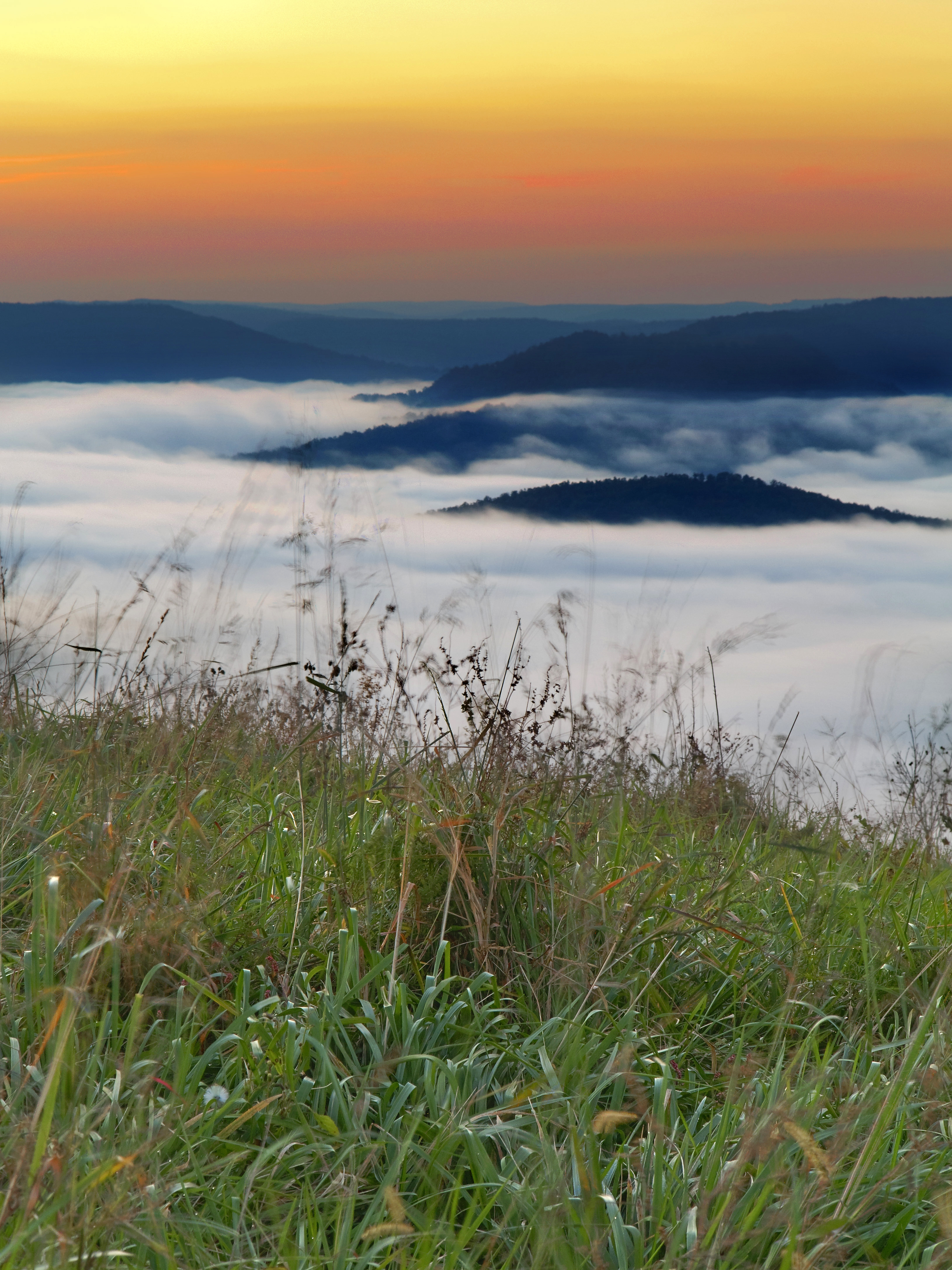
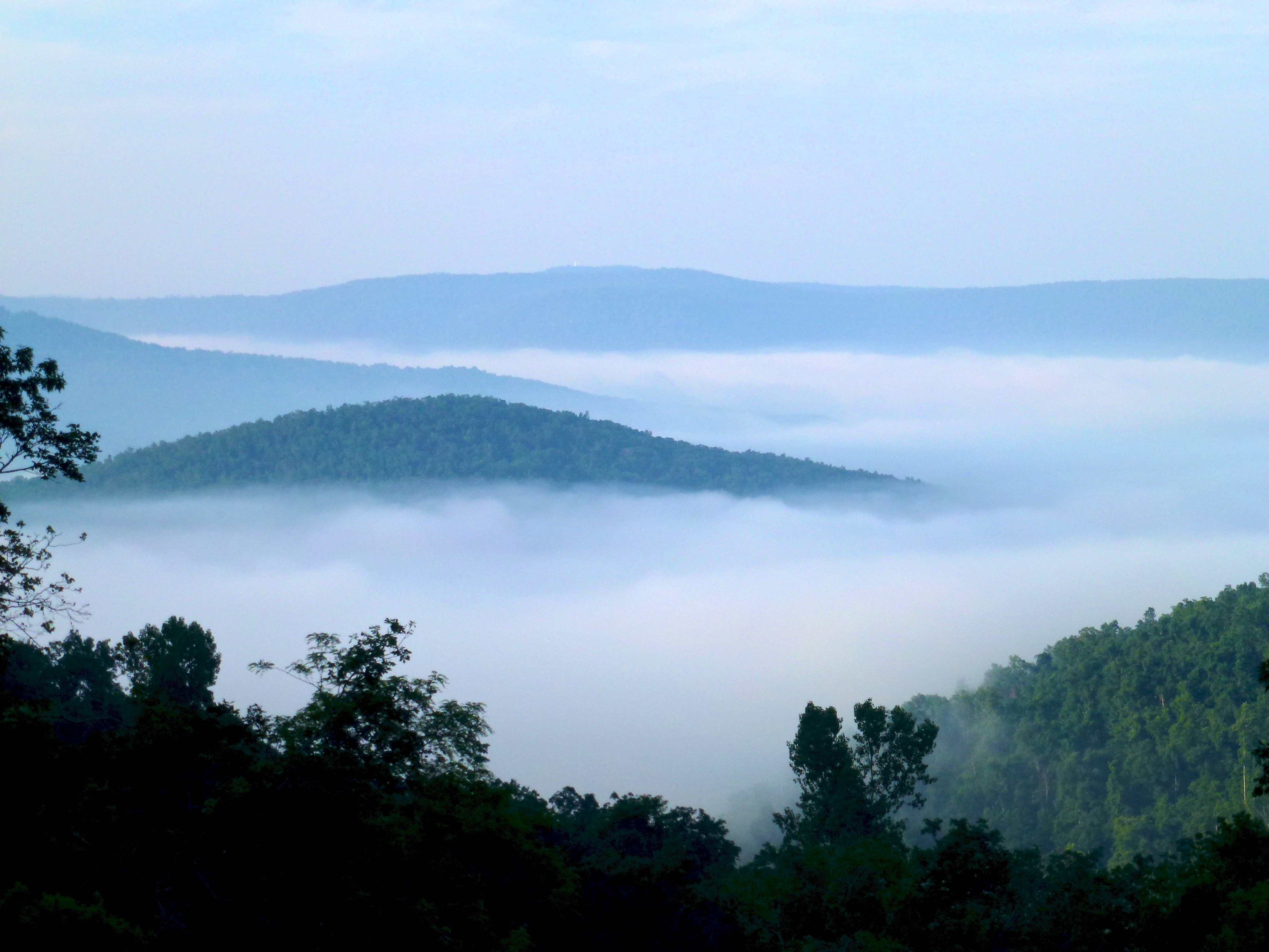
our 30-mile "view" which was mostly of fog
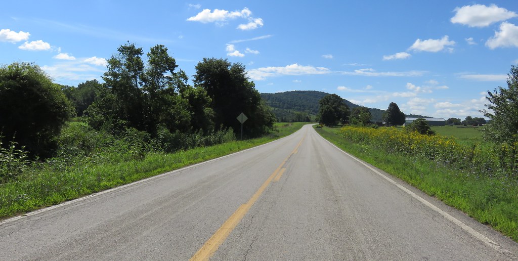
Highway 43 view
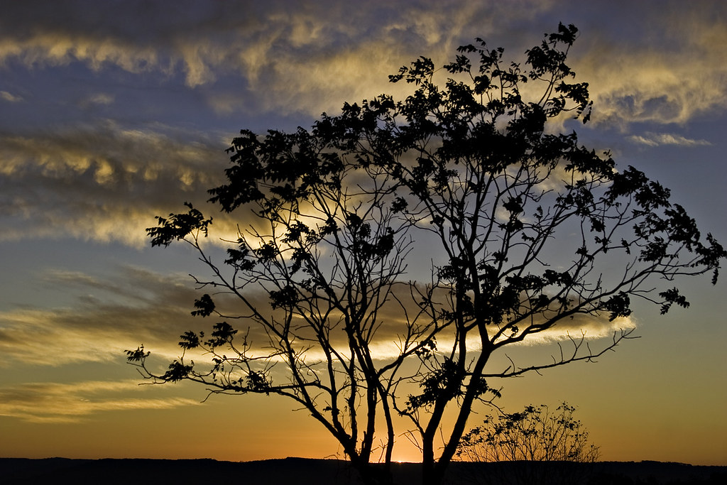
Ozark Summers

Buffalo River Skies
Islands of Stone
Sunrise on Fire Tower Road (Lost Valley)
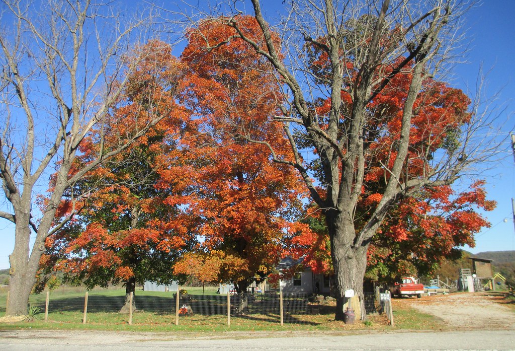
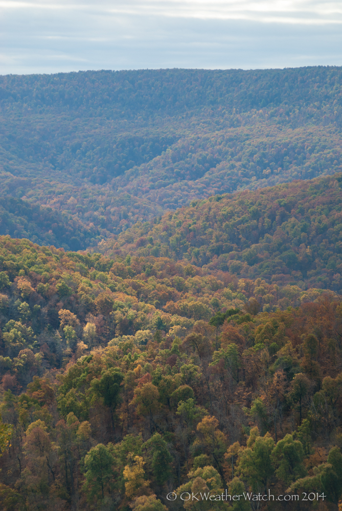
Northwestern Arkansas Landscape (Carroll County, Arkansas)

Buffalo River Skies
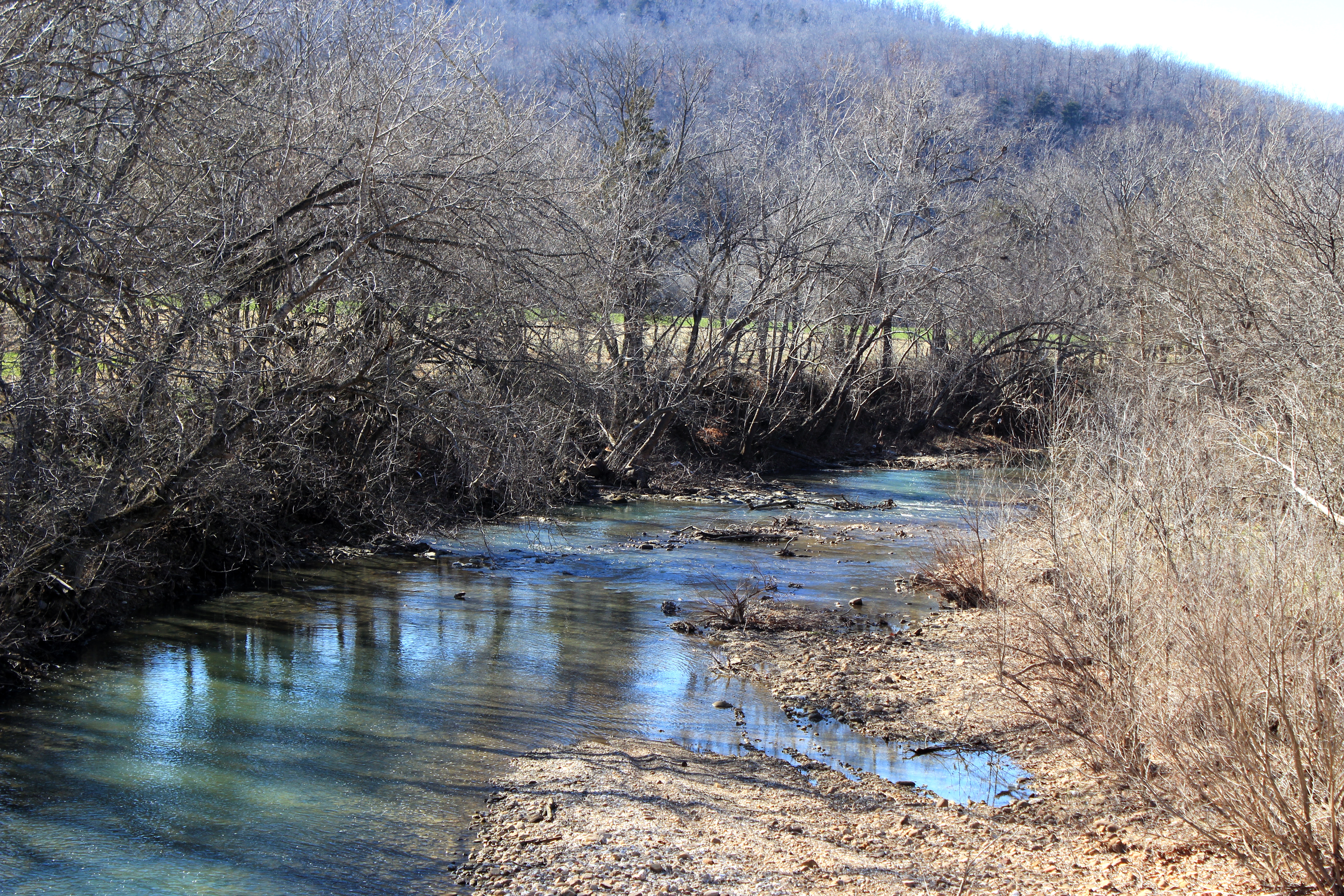
Osage Creek

Northwestern Arkansas Landscape (Carroll County, Arkansas)
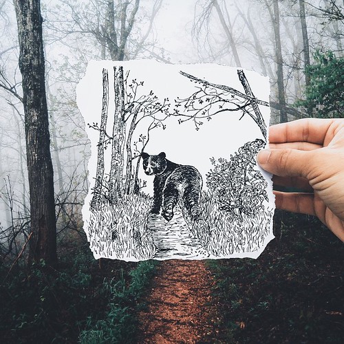
This weekends hashtag project from @instagram #whpidrewthis gave me the opportunity to finally start a series I've been wanting to work on. The series is called #surrealsketches and the concept is to illustrate the daydreams that are conjured up when expl
Northwestern Arkansas Landscape (Madison County, Arkansas)
Foggy Mountains
Brittany's pictures
Brittany's pictures
Topographic Map of Dry Fork Township, AR, USA
Find elevation by address:

Places in Dry Fork Township, AR, USA:
Places near Dry Fork Township, AR, USA:
US-, Huntsville, AR, USA
US-, Berryville, AR, USA
3898 Madison 2360
County Road 935
County Road 21
AR-, Alpena, AR, USA
Osage
County Road 959
County Road 107
Osage Township
County Road 933
Steel Creek Campground
AR-43, Compton, AR, USA
Compton
Plumlee Township
11802 Deer Rd
Summit Township
Summit Rd S, Harrison, AR, USA
Bryan Township
7256 Orchard Point Rd
Recent Searches:
- Elevation of Corso Fratelli Cairoli, 35, Macerata MC, Italy
- Elevation of Tallevast Rd, Sarasota, FL, USA
- Elevation of 4th St E, Sonoma, CA, USA
- Elevation of Black Hollow Rd, Pennsdale, PA, USA
- Elevation of Oakland Ave, Williamsport, PA, USA
- Elevation of Pedrógão Grande, Portugal
- Elevation of Klee Dr, Martinsburg, WV, USA
- Elevation of Via Roma, Pieranica CR, Italy
- Elevation of Tavkvetili Mountain, Georgia
- Elevation of Hartfords Bluff Cir, Mt Pleasant, SC, USA