Elevation of Summer Cloud Ct, Folsom, CA, USA
Location: United States > California > Sacramento County > Folsom >
Longitude: -121.11136
Latitude: 38.662795
Elevation: 174m / 571feet
Barometric Pressure: 99KPa
Elevation Map:
Satellite Map:
Related Photos:

Sitting Pretty
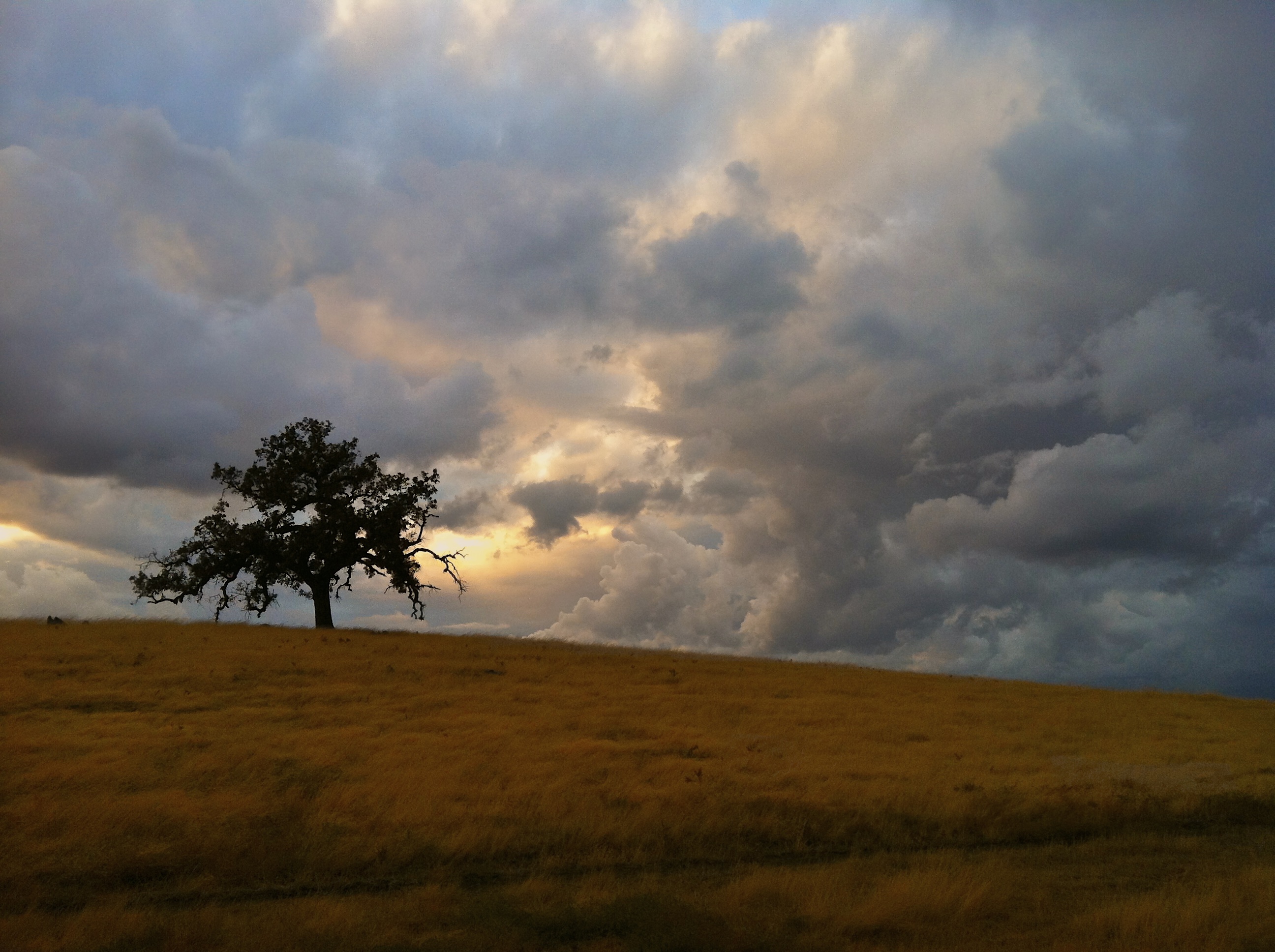
Prairie Storm
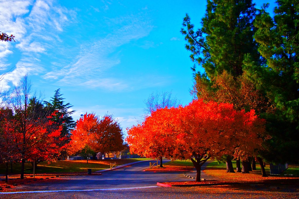
Autumn colors - Fair Oaks Park

Day 922: Truck_8983d
Day 875: Folsom_7096d

Day 939: Folsom_9599d
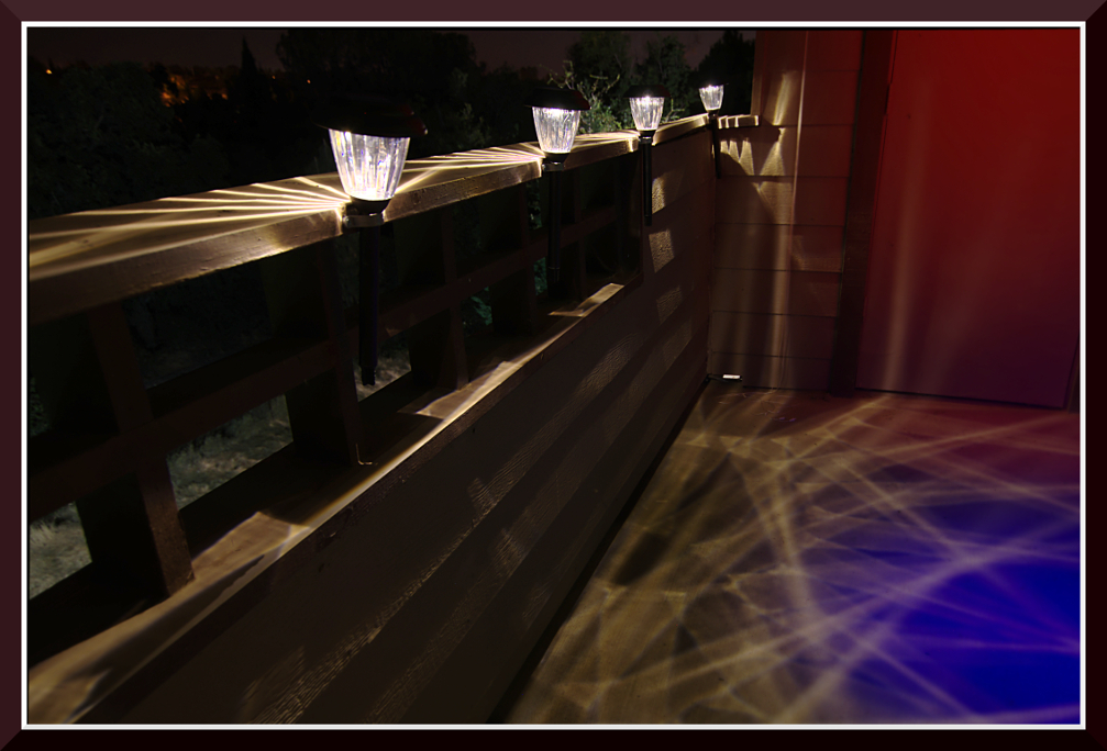
Day 946: LightPaint_9985

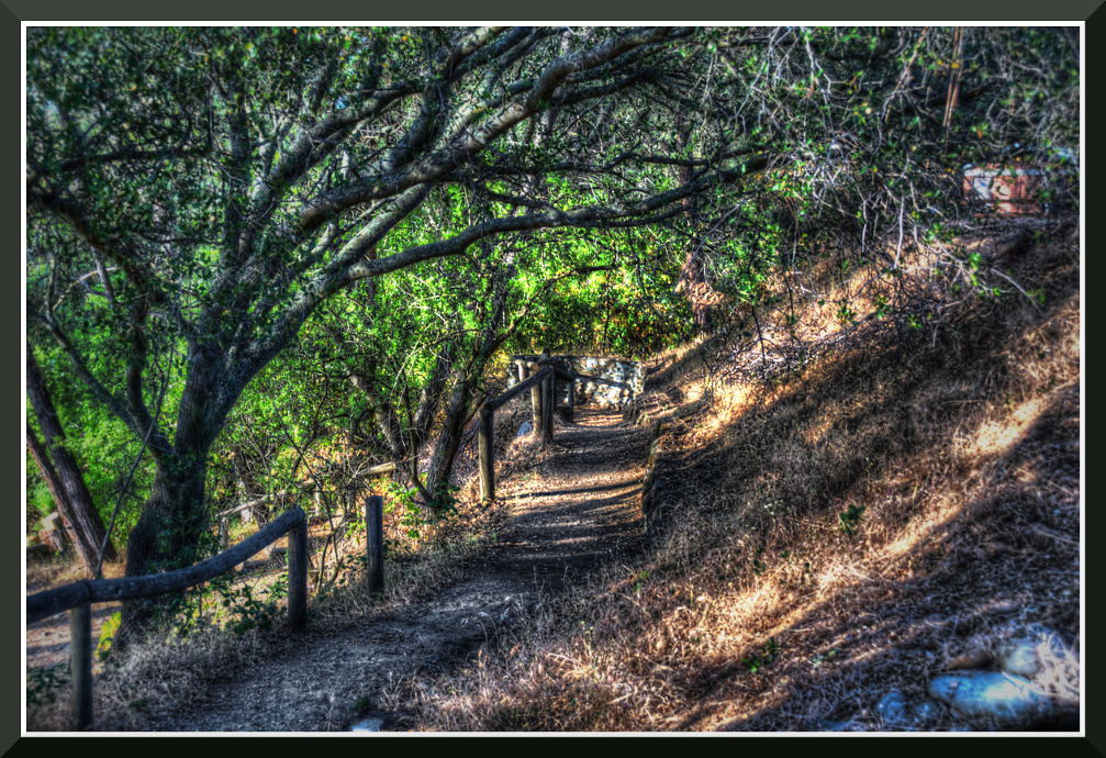
Three and a half trees

Just Ducks

full moon at sunrise

Blue Heron In Vetch 0893
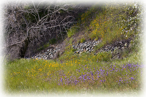
Spring Wildflowers 0026

Day 952: Shopping_0244d
Topographic Map of Summer Cloud Ct, Folsom, CA, USA
Find elevation by address:

Places near Summer Cloud Ct, Folsom, CA, USA:
667 Glen-mady Way
721 Hillswick Cir
423 Serpa Way
Riata
634 Lefevre Dr
10 College Pkwy
270 Palladio Pkwy
Whole Foods Market
Folsom Lake College
Broadstone
1317 Kerslake Cir
Croce Court
Lexington Hills
484 Lone Spur Dr
1973 Horseshoe Glen Cir
2365 Iron Point Rd
300 Moon Cir
1280 Hartley Way
Placerville Road
2315 Clapton Way
Recent Searches:
- Elevation of Corso Fratelli Cairoli, 35, Macerata MC, Italy
- Elevation of Tallevast Rd, Sarasota, FL, USA
- Elevation of 4th St E, Sonoma, CA, USA
- Elevation of Black Hollow Rd, Pennsdale, PA, USA
- Elevation of Oakland Ave, Williamsport, PA, USA
- Elevation of Pedrógão Grande, Portugal
- Elevation of Klee Dr, Martinsburg, WV, USA
- Elevation of Via Roma, Pieranica CR, Italy
- Elevation of Tavkvetili Mountain, Georgia
- Elevation of Hartfords Bluff Cir, Mt Pleasant, SC, USA