Elevation of Suburban Park - Lorelei Manor - Flood Park Triangle, Menlo Park, CA, USA
Location: United States > California > San Mateo County > Menlo Park >
Longitude: -122.17886
Latitude: 37.4788792
Elevation: 5m / 16feet
Barometric Pressure: 101KPa
Elevation Map:
Satellite Map:
Related Photos:
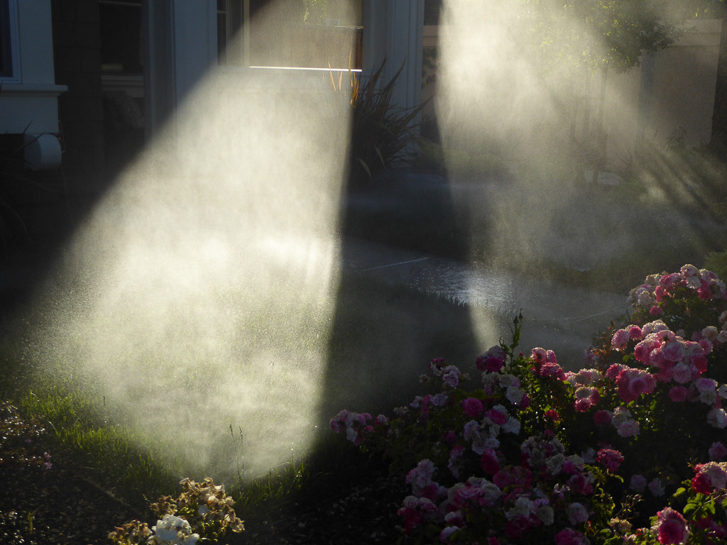
Morning Water
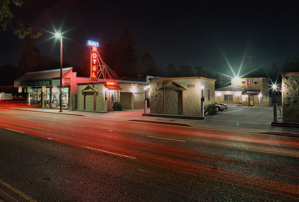
On A Budget in Mountain View
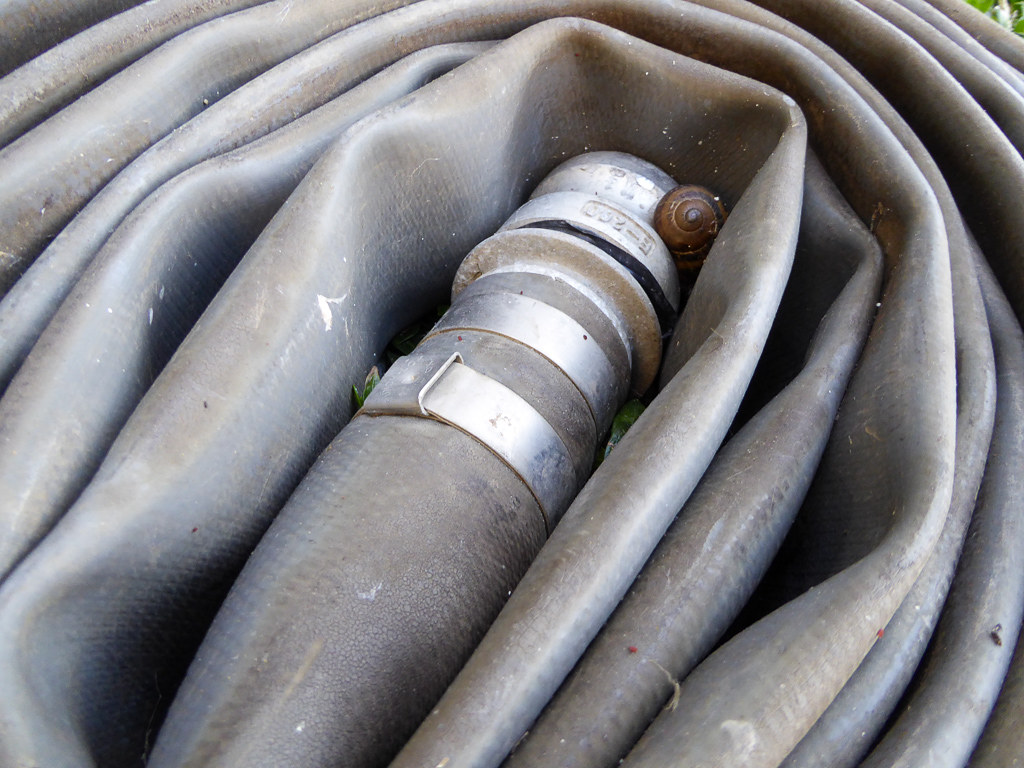
Snail In Hose
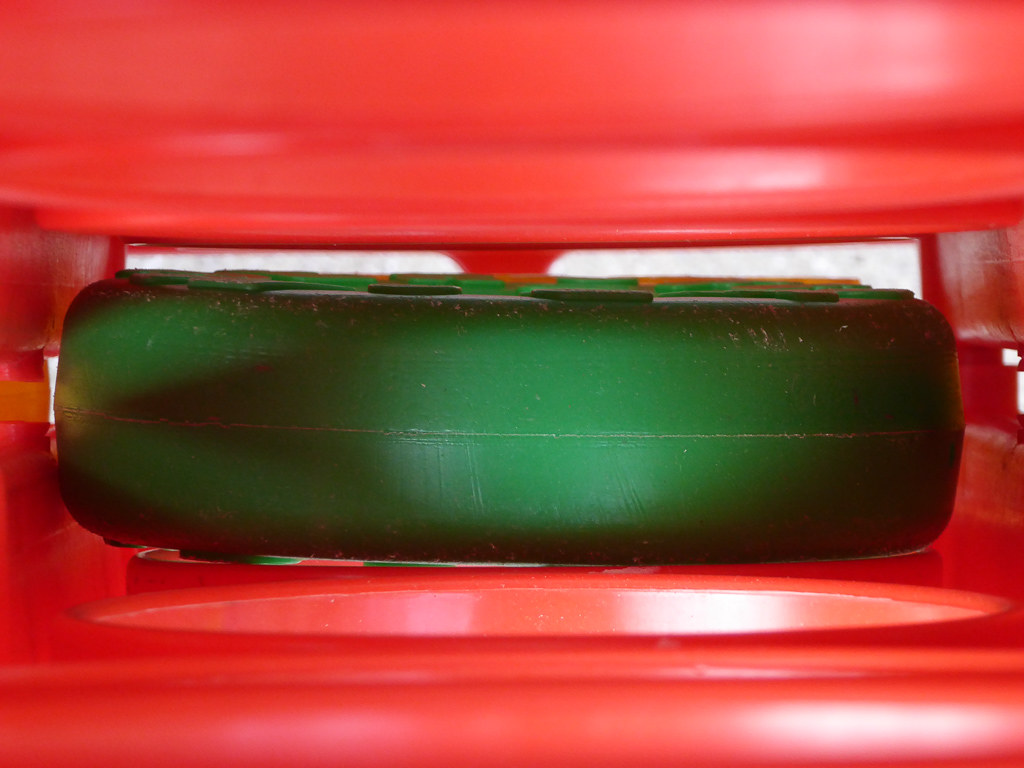
Plastic Lifesaver

Gnarled Oak

IMG_1380 Let Me Feed You, Honey.

Egret Strut

Jacaranda Litter
Fire breathing dragon

Color On Weathered Grey

IMG_5922 Forster's Tern Hovering, Mountain View Shoreline Park, California

California Coastal Fog (explored)

Red On Purple

Belly Balls

Old Salt Works

San Francisco from Alameda Creek, Fremont

DSC01246.JPG
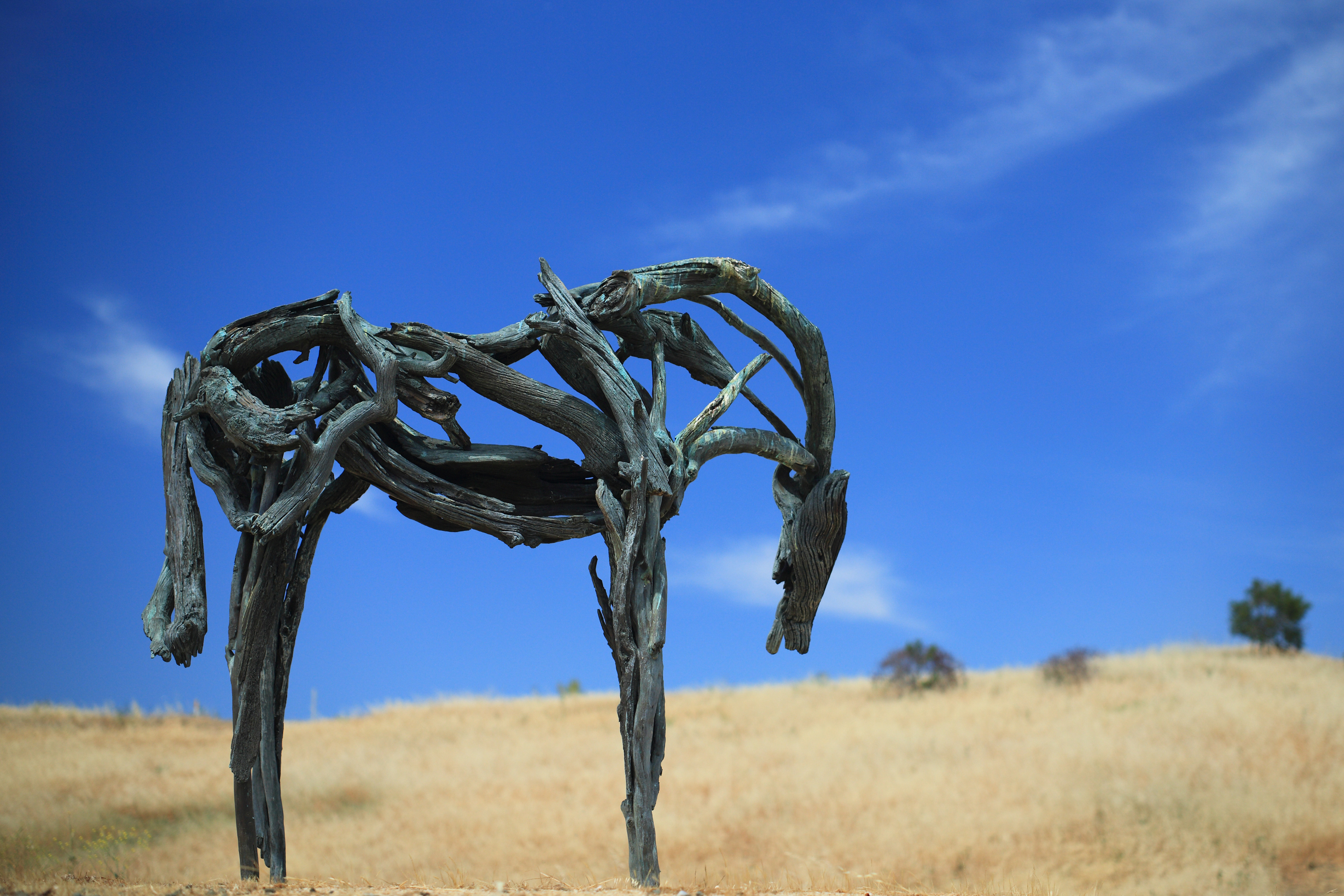
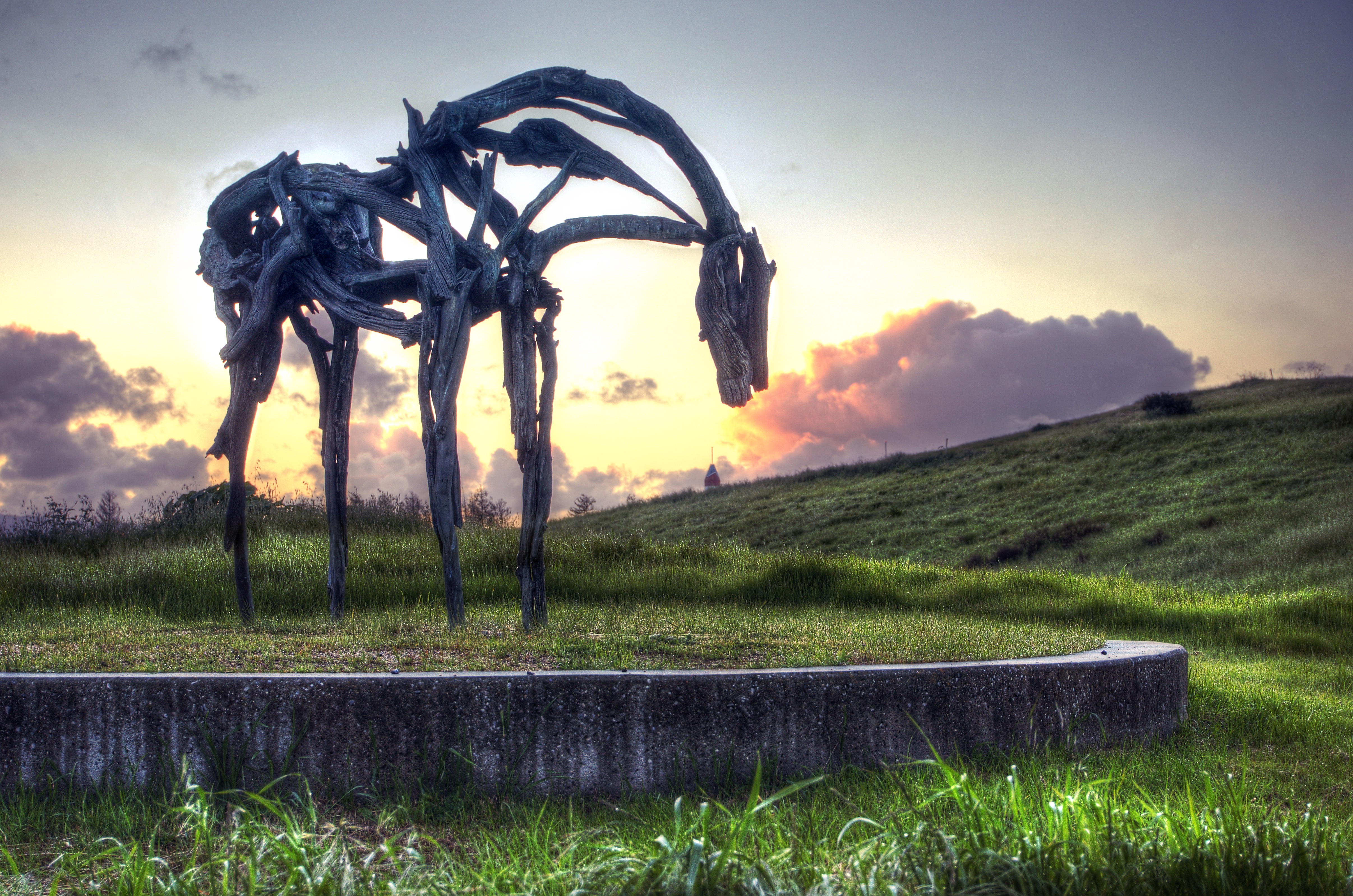
Bronze Horse by Deborah Butterfield

Hose Snake
Rat Can
Cloud's Rest

Heavenly Shades of Night are Falling -- Reprise

Fields of Gold
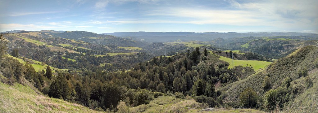
IMG_20170311_123526-PANO

Home on the Farm
Coyote Hills Regional Preserve

Heavenly shades of night are falling, it's twilight time ...
Purisima Creek

Mustard field
#hiking #california #nature

Arastradero Pasture
Power Meets Power

Eden Landing
Skyline Sunrise
Palo Alto Baylands
A Tree near Paseo del Roble Trail

DSC00963.JPG
WP_20170511_05_46_28_Pro (2)

Closing Time

Gentle Afterglow
Topographic Map of Suburban Park - Lorelei Manor - Flood Park Triangle, Menlo Park, CA, USA
Find elevation by address:

Places near Suburban Park - Lorelei Manor - Flood Park Triangle, Menlo Park, CA, USA:
Bay Rd & Hedge Rd
4600 Bohannon Dr
1110 Marsh Rd
1401 Marsh Rd
2346 Bohannon Dr
995 Marsh Rd
32 Rosewood Dr
Lindenwood
883 Fifteenth Ave
Friendly Acres
542 Marsh Rd
1045 Haven Ave
24 De Bell Dr
3475 Edison Way
300 Arden Rd
3308 Edison Way
1264 Mills St
Fair Oaks
151 Stone Pine Ln
460 Ravenswood Ave
Recent Searches:
- Elevation of Corso Fratelli Cairoli, 35, Macerata MC, Italy
- Elevation of Tallevast Rd, Sarasota, FL, USA
- Elevation of 4th St E, Sonoma, CA, USA
- Elevation of Black Hollow Rd, Pennsdale, PA, USA
- Elevation of Oakland Ave, Williamsport, PA, USA
- Elevation of Pedrógão Grande, Portugal
- Elevation of Klee Dr, Martinsburg, WV, USA
- Elevation of Via Roma, Pieranica CR, Italy
- Elevation of Tavkvetili Mountain, Georgia
- Elevation of Hartfords Bluff Cir, Mt Pleasant, SC, USA