Elevation of Stoholm, Denmark
Location: Denmark > Viborg Municipality >
Longitude: 9.149108
Latitude: 56.483835
Elevation: 21m / 69feet
Barometric Pressure: 101KPa
Elevation Map:
Satellite Map:
Related Photos:
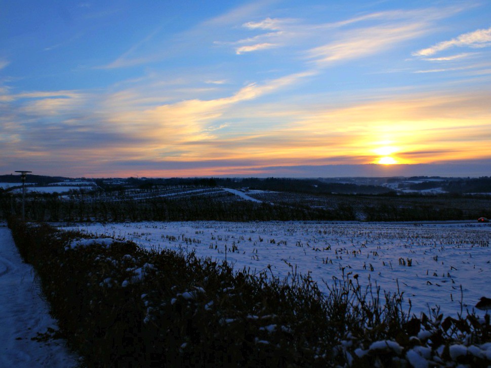
Winter sunset
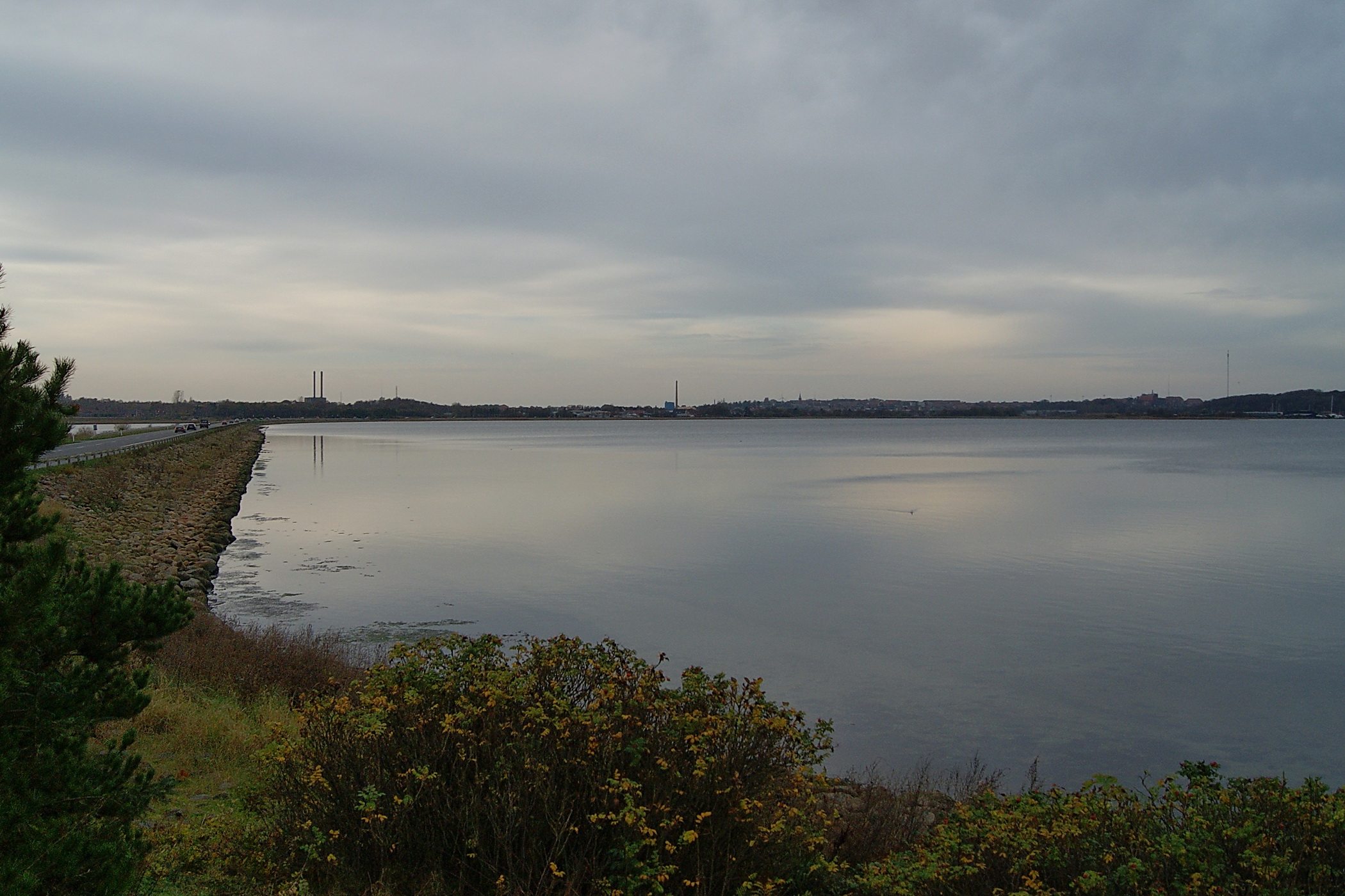
View to Skive
Topographic Map of Stoholm, Denmark
Find elevation by address:

Places near Stoholm, Denmark:
Viborgvej 31
Karup
Stavildvej 2a
Central Denmark Region
Viborg
Skals
Sct. Mogens Gade 4
Viborg Municipality
Hjerlhedevej 14
Vinderup
Nymøllevej 13
Spøttrup
Vesthimmerland Municipality
Denmark
Aulum
Ranum
Nykobing Mors
Foulum
Jesperhus Feriepark
Limfjord
Recent Searches:
- Elevation of Corso Fratelli Cairoli, 35, Macerata MC, Italy
- Elevation of Tallevast Rd, Sarasota, FL, USA
- Elevation of 4th St E, Sonoma, CA, USA
- Elevation of Black Hollow Rd, Pennsdale, PA, USA
- Elevation of Oakland Ave, Williamsport, PA, USA
- Elevation of Pedrógão Grande, Portugal
- Elevation of Klee Dr, Martinsburg, WV, USA
- Elevation of Via Roma, Pieranica CR, Italy
- Elevation of Tavkvetili Mountain, Georgia
- Elevation of Hartfords Bluff Cir, Mt Pleasant, SC, USA